Otter Holes

Lake, Pool, Pond, Freshwater Marsh in Westmorland South Lakeland

England

Otter Holes

The Strickland Arms At the entrance to Sizergh Castle, the Strickland Arms is named for the family who have owned the Castle for centuries.
The Strickland Arms Credit: Eirian Evans

Otter Holes is a picturesque freshwater marsh located in Westmorland, a region known for its stunning natural beauty in the northwestern part of England. Spanning an area of approximately 10 acres, this aquatic ecosystem comprises a combination of a lake, pool, pond, and marshland, making it a unique and diverse habitat.

The lake at Otter Holes is the central feature, covering around four acres and providing a tranquil and serene setting. Surrounded by lush vegetation and towering trees, the lake is a hotspot for various species of aquatic plants, including lily pads, reeds, and water lilies. These plants not only enhance the aesthetic appeal of the area but also serve as important habitats for numerous water-dwelling creatures.

Adjacent to the lake is a smaller pool, which acts as a breeding ground for amphibians such as frogs and newts. Its shallow waters and abundant vegetation create an ideal environment for these species to lay their eggs and raise their young. The pool is also frequented by a variety of water birds, including ducks and herons, who find ample food sources amidst the abundant plant life.

Further into the marshland, a small pond can be found, attracting a multitude of insects, dragonflies, and damselflies. With its still waters and densely vegetated surroundings, the pond offers a haven for these delicate creatures, contributing to the overall biodiversity of the area.

Otter Holes is not only a haven for flora and fauna but also serves as an important habitat for the elusive otter after which it is named. These charismatic mammals can occasionally be spotted swimming or playing in the lake, adding to the allure of the location.

Overall, Otter Holes in Westmorland is a captivating freshwater marsh, offering a harmonious blend of water bodies, lush vegetation, and diverse wildlife. It is a sanctuary for various species and a place where nature enthusiasts can immerse themselves in the beauty of the natural world.

If you have any feedback on the listing, please let us know in the comments section below.
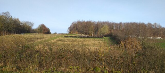
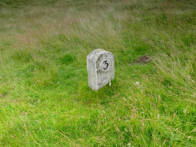
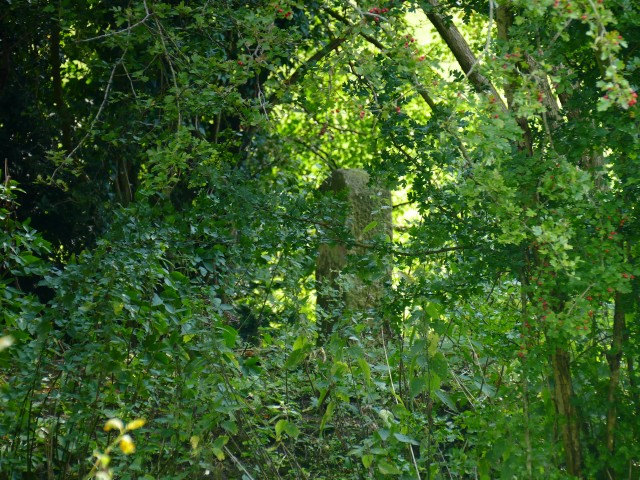
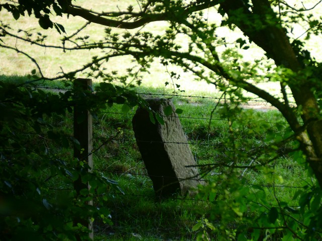
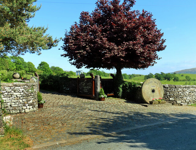
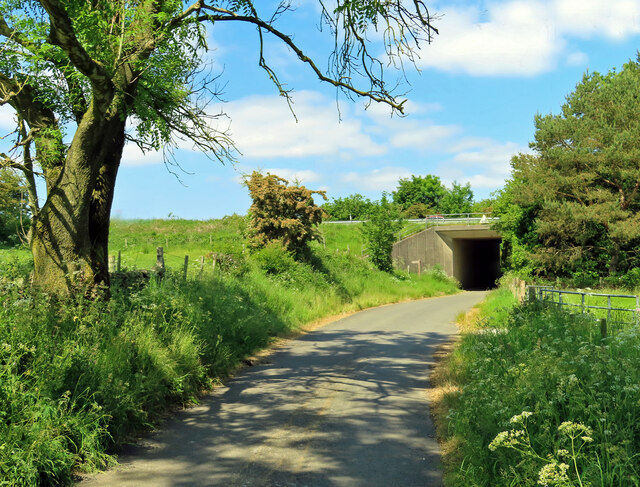
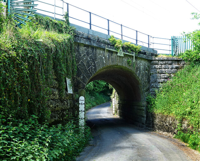
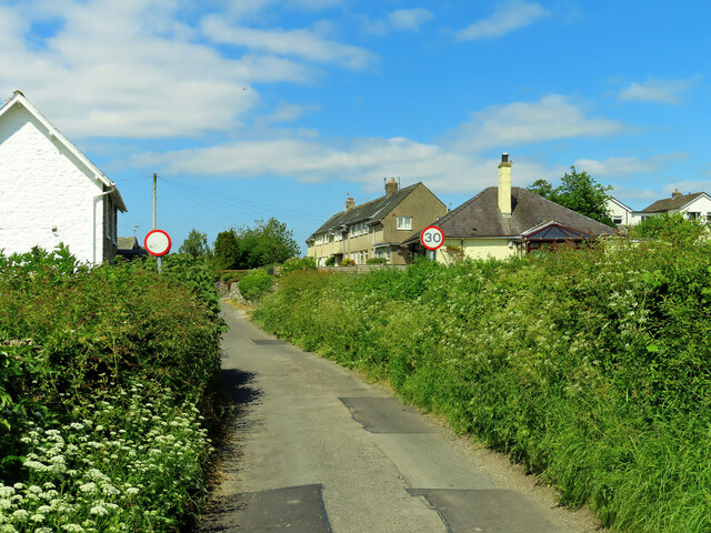
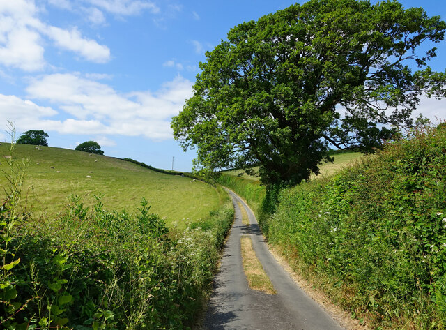
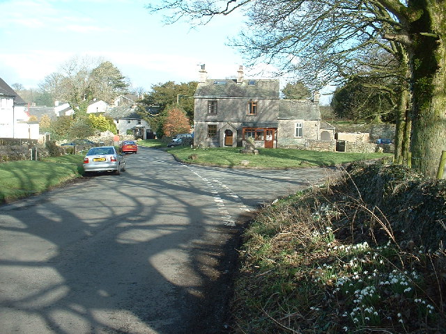
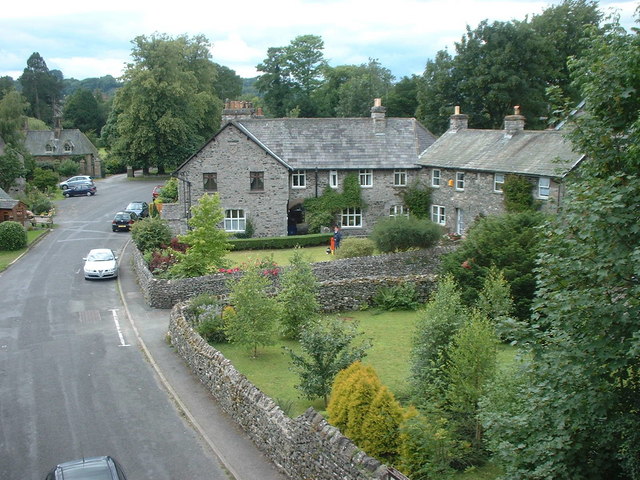
Otter Holes Images

Images are sourced within 2km of 54.268509/-2.7640112 or Grid Reference SD5086. Thanks to Geograph Open Source API. All images are credited.

The Strickland Arms At the entrance to Sizergh Castle, the Strickland Arms is named for the family who have owned the Castle for centuries.
The Strickland Arms
At the entrance to Sizergh Castle, the Strickland Arms is named for the family who have owned the Castle for centuries.
The west end of Hincaster Tunnel Opened on the 18th June 1819, the 378 yard tunnel was built to facilitate access to Kendal by the Lancaster Canal.
The tunnel had fallen into disuse by the mid 1940s and it was officially closed in 1955.
There is an Ordnance Survey 1GL bolt benchmark on the pilaster to the right of the tunnel entrance (detail photograph <a href="https://www.geograph.org.uk/photo/7364790">SD5085 : Benchmark, Hincaster Tunnel</a>).
The west end of Hincaster Tunnel
Opened on the 18th June 1819, the 378 yard tunnel was built to facilitate access to Kendal by the Lancaster Canal. The tunnel had fallen into disuse by the mid 1940s and it was officially closed in 1955. There is an Ordnance Survey 1GL bolt benchmark on the pilaster to the right of the tunnel entrance (detail photograph SD5085 : Benchmark, Hincaster Tunnel).
Sedgwick Hall Bridge Detail of the north face of Sedgwick Hall Bridge on the disused Lancaster Canal. The wicket gate caters for walkers using the former towpath which is a public footpath.
There is an Ordnance Survey benchmark visible on one of the voussoirs of the arch (photograph <a href="https://www.geograph.org.uk/photo/7097464">SD5186 : Benchmark, Sedgwick Hall Bridge</a>).
<a href="https://www.geograph.org.uk/photo/6578468">SD5186 : Sedgwick Hall Bridge</a> is a photograph of the bridge from the south.
Sedgwick Hall Bridge
Detail of the north face of Sedgwick Hall Bridge on the disused Lancaster Canal. The wicket gate caters for walkers using the former towpath which is a public footpath. There is an Ordnance Survey benchmark visible on one of the voussoirs of the arch (photograph SD5186 : Benchmark, Sedgwick Hall Bridge). SD5186 : Sedgwick Hall Bridge is a photograph of the bridge from the south.
Benchmark, Sedgwick Hall Bridge Detail of the Ordnance Survey 1GL Bolt benchmark on the north face of the arch of Sedgwick Hall Bridge. The benchmark marks a height of 46.0004 m above sea level (Ordnance Datum Newlyn) last verified in 1952 (location photograph <a href="https://www.geograph.org.uk/photo/7097453">SD5186 : Sedgwick Hall Bridge</a>).
Benchmark, Sedgwick Hall Bridge
Detail of the Ordnance Survey 1GL Bolt benchmark on the north face of the arch of Sedgwick Hall Bridge. The benchmark marks a height of 46.0004 m above sea level (Ordnance Datum Newlyn) last verified in 1952 (location photograph SD5186 : Sedgwick Hall Bridge).
Low Sizergh Farmland Cultivated land at Low Sizergh farm.
Low Sizergh Farmland
Cultivated land at Low Sizergh farm.
Old Milestone Marker 03-54 F (between bridges 181-180), Lancaster Canal Old Milestone located by the side of the dry section of the Lancaster Canal.
This milestone is 54 miles from the centre of Preston and 3 miles from Kendal.

Inscription reads:-
24 :: 3
(Miles from Lancaster and Kendal respectively)

Milestone Society National ID: LAN-54
Old Milestone Marker 03-54 F (between bridges 181-180), Lancaster Canal
Old Milestone located by the side of the dry section of the Lancaster Canal. This milestone is 54 miles from the centre of Preston and 3 miles from Kendal. Inscription reads:- 24 :: 3 (Miles from Lancaster and Kendal respectively) Milestone Society National ID: LAN-54
Old Milestone Marker 04-53 F (between bridges 178-177), Lancaster Canal Old Milestone located by the side of the dry section of the Lancaster Canal.
This milestone is 53 miles from the centre of Preston and 4 miles from Kendal.

Inscription reads:-
23 :: 4
(Miles from Lancaster and Kendal respectively)

Milestone Society National ID: LAN-53
Old Milestone Marker 04-53 F (between bridges 178-177), Lancaster Canal
Old Milestone located by the side of the dry section of the Lancaster Canal. This milestone is 53 miles from the centre of Preston and 4 miles from Kendal. Inscription reads:- 23 :: 4 (Miles from Lancaster and Kendal respectively) Milestone Society National ID: LAN-53
Old Milestone Marker 05-52 F (between bridges 176-175), Lancaster Canal Old Milestone located by the side of the dry section of the Lancaster Canal. This milestone is 52 miles from the centre of Preston and 5 miles from Kendal. 

Inscription reads:- 
22 :: 5 
(Miles from Lancaster and Kendal respectively)

Milestone Society National ID: LAN-52
Old Milestone Marker 05-52 F (between bridges 176-175), Lancaster Canal
Old Milestone located by the side of the dry section of the Lancaster Canal. This milestone is 52 miles from the centre of Preston and 5 miles from Kendal. Inscription reads:- 22 :: 5 (Miles from Lancaster and Kendal respectively) Milestone Society National ID: LAN-52
Old Milestone Marker 06-51 R (between bridges 172-171), Lancaster Canal Old Milestone located by the side of the Lancaster Canal. 
This milestone is 51 miles from the centre of Preston and 6 miles from Kendal. 

Inscription reads:- 
21 :: 6 
(Miles from Lancaster and Kendal respectively)

Milestone Society National ID: LAN-51
Old Milestone Marker 06-51 R (between bridges 172-171), Lancaster Canal
Old Milestone located by the side of the Lancaster Canal. This milestone is 51 miles from the centre of Preston and 6 miles from Kendal. Inscription reads:- 21 :: 6 (Miles from Lancaster and Kendal respectively) Milestone Society National ID: LAN-51
Benchmark, Hincaster Tunnel Detail of the Ordnance Survey 1GL Published Abstract Bolt benchmark on the west portal of Hincaster Tunnel. The benchmark marks a height of 45.9205m above mean sea level (Ordnance Datum Newlyn) last levelled and verified in 1971 (location photograph <a href="https://www.geograph.org.uk/photo/7364809">SD5085 : Transport Trust Red Wheel</a>).
Benchmark, Hincaster Tunnel
Detail of the Ordnance Survey 1GL Published Abstract Bolt benchmark on the west portal of Hincaster Tunnel. The benchmark marks a height of 45.9205m above mean sea level (Ordnance Datum Newlyn) last levelled and verified in 1971 (location photograph SD5085 : Transport Trust Red Wheel).
Transport Trust Red Wheel On the west portal of Hincaster Tunnel, the Transport Trust ‘Red Wheel’ sign highlights the importance of the tunnel as a transport heritage site.
The Transport Trust is Britain’s only charity dedicated to the preservation of all modes of transport and its infrastructure and the Red Wheel heritage plaque is the transport equivalent of an English Heritage Blue Plaque.
There is an Ordnance Survey bolt benchmark on the wall directly below the plaque (detail photograph <a href="https://www.geograph.org.uk/photo/7364790">SD5085 : Benchmark, Hincaster Tunnel</a>).
Transport Trust Red Wheel
On the west portal of Hincaster Tunnel, the Transport Trust ‘Red Wheel’ sign highlights the importance of the tunnel as a transport heritage site. The Transport Trust is Britain’s only charity dedicated to the preservation of all modes of transport and its infrastructure and the Red Wheel heritage plaque is the transport equivalent of an English Heritage Blue Plaque. There is an Ordnance Survey bolt benchmark on the wall directly below the plaque (detail photograph SD5085 : Benchmark, Hincaster Tunnel).
Railway buildings at Hincaster Typical red brick buildings associated with the railway.
Railway buildings at Hincaster
Typical red brick buildings associated with the railway.
Viver Mill Farm The farm entrance on Viver Lane displays a large millstone.
Viver Mill Farm
The farm entrance on Viver Lane displays a large millstone.
Approaching the A590 Viewed near Viver on a bright early-June afternoon.
Approaching the A590
Viewed near Viver on a bright early-June afternoon.
Beware of floods A warning sign alerts road users to a flood risk ahead. The depth markers beside the railway bridge on the West Coast main line show how serious this can be.
Beware of floods
A warning sign alerts road users to a flood risk ahead. The depth markers beside the railway bridge on the West Coast main line show how serious this can be.
Approaching Sedgwick The first view of the village coming from Wellheads Lane.
Approaching Sedgwick
The first view of the village coming from Wellheads Lane.
On Wellheads Lane Heading for Sedgwick village on a lovely early-June afternoon.
On Wellheads Lane
Heading for Sedgwick village on a lovely early-June afternoon.
Carex Farm Located on the edge of Sedgwick village.
Carex Farm
Located on the edge of Sedgwick village.
Show me another place!

Otter Holes is located at Grid Ref: SD5086 (Lat: 54.268509, Lng: -2.7640112)

Administrative County: Cumbria

District: South Lakeland

Police Authority: Cumbria

What 3 Words

///tune.verb.thrashed. Near Milnthorpe, Cumbria

Related Wikis

Sedgwick House, Cumbria

Sedgwick House is located to the west of the village of Sedgwick, Cumbria, England. It was built as a country house, was later used as a school, and then...
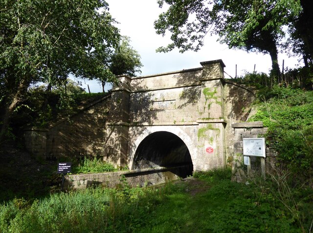
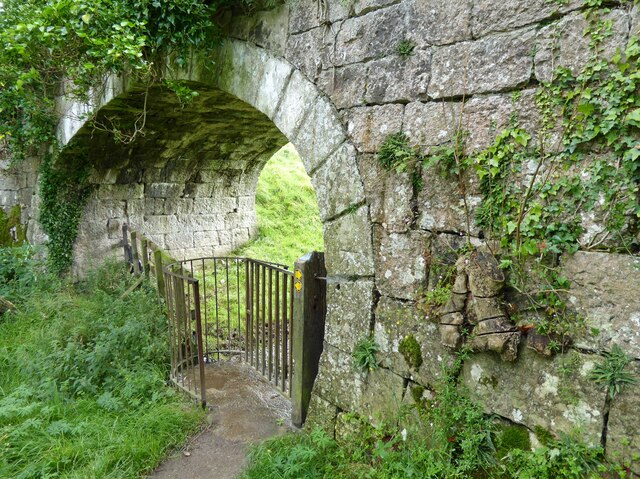
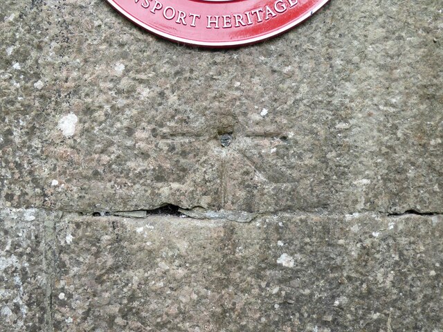
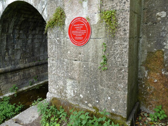
Hincaster Tunnel

The Hincaster Tunnel is a canal tunnel on the Lancaster Canal at Hincaster, a hamlet in Cumbria, England. == History == Work to extend the Lancaster Canal...

Levens Hall

Levens Hall is a manor house in the Kent valley, near the village of Levens and 5 miles (9 km) south of Kendal in Cumbria, Northern England. == History... ==

Hincaster

Hincaster is a small hamlet and civil parish in the South Lakeland district of Cumbria, England, located between Kendal and Milnthorpe. In the 2001 census...

Levens, Cumbria

Levens is a village and civil parish in Westmorland and Furness, Cumbria. It lies within the historic county of Westmorland. In the 2001 census the parish...

Lakeland Maze Farm Park

Lakeland Maze Farm Park is an outdoor attraction and maze located near Kendal in England, UK. == History == The first maze was created in 2005. In 2021...

Causeway End

Causeway End is a hamlet in Cumbria, England.

Sedgwick, Cumbria

Sedgwick is a village and civil parish in Cumbria, England, 4.5 miles (7.2 km) south of Kendal. In the 2001 census the parish had a population of 380,...

Nearby Amenities

Located within 500m of 54.268509,-2.7640112
Barrier: kissing_gate
Lat/Long: 54.2698432/-2.756978
Barrier: stile
Lat/Long: 54.2690617/-2.7597197
Whitewater: egress
Lat/Long: 54.2694169/-2.7611879
Barrier: stile
Lat/Long: 54.2700804/-2.7637905
Power: pole
Lat/Long: 54.2701488/-2.7701318
Power: pole
Lat/Long: 54.2701506/-2.7683852
Power: pole
Lat/Long: 54.2701874/-2.7653375
Power: pole
Lat/Long: 54.2703504/-2.7637359
Power: pole
Lat/Long: 54.2705379/-2.7621786
Power: pole
Lat/Long: 54.2681032/-2.768722
Power: pole
Lat/Long: 54.2670643/-2.7694818
Power: pole
Lat/Long: 54.2662558/-2.7700865
Power: pole
Lat/Long: 54.2691277/-2.7679356
Power: pole
Lat/Long: 54.2701488/-2.7671778
Power: pole
Lat/Long: 54.2708726/-2.7678516
Power: pole
Lat/Long: 54.2716733/-2.7690389
Watering Place
Access: private
Lat/Long: 54.2711872/-2.7651388
Power: pole
Lat/Long: 54.2706967/-2.760557
Power: pole
Lat/Long: 54.2708522/-2.7590695
Power: pole
Lat/Long: 54.2688317/-2.7568141
The data included in this document is from www.openstreetmap.org. The data is made available under ODbL.

Have you been to Otter Holes?

Leave your review of Otter Holes below (or comments, questions and feedback).