Belliehead Pool

Lake, Pool, Pond, Freshwater Marsh in Morayshire

Scotland

Belliehead Pool

Section of Logie School
Section of Logie School Credit: thejackrustles

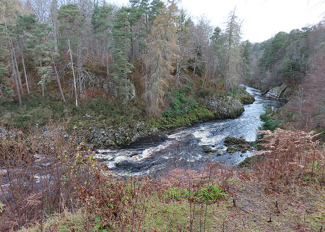
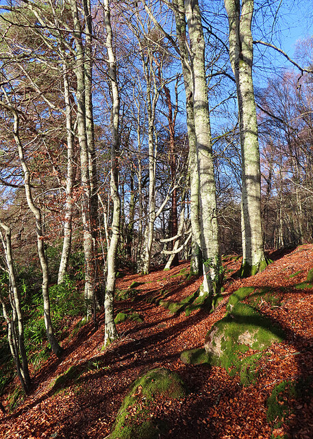
Belliehead Pool is a picturesque freshwater marsh located in Morayshire, Scotland. Nestled amidst the lush greenery and rolling hills, this pool attracts nature enthusiasts and birdwatchers alike. Covering an area of approximately 10 acres, it serves as a vital habitat for various flora and fauna species.

The pool itself is surrounded by a dense blend of reeds, rushes, and sedges, creating a thriving ecosystem. This diverse vegetation provides shelter and nesting grounds for a wide array of bird species, including the common teal, wigeon, and coot. Additionally, the pool attracts several migratory birds during the breeding season, making it a popular spot for birdwatching.

The tranquil waters of Belliehead Pool are home to numerous fish species, such as roach, perch, and pike. Anglers frequently visit the pool to enjoy a day of fishing in a serene environment. The pool's clear waters also support a rich aquatic plant life, including water lilies and pondweed.

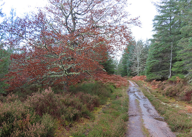
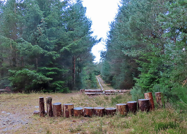
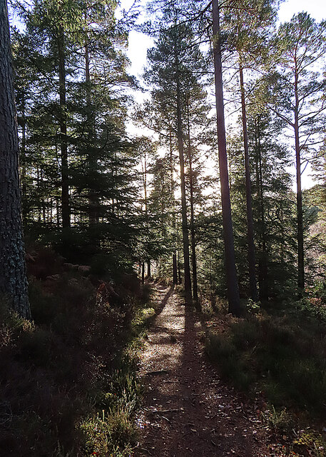
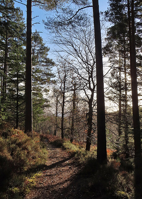
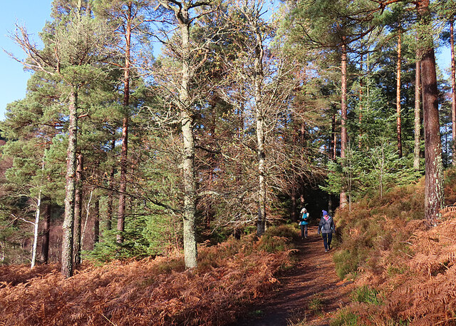
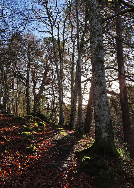
Surrounding the pool, visitors can find well-maintained walking trails that allow them to explore the area and observe the wildlife up close. The serene atmosphere and scenic beauty of Belliehead Pool make it an ideal destination for nature lovers and those seeking a peaceful retreat.

Belliehead Pool is open to the public year-round, and visitors are encouraged to respect the natural habitat and adhere to any guidelines or regulations in place to preserve the delicate ecosystem.

If you have any feedback on the listing, please let us know in the comments section below.

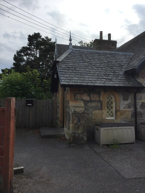
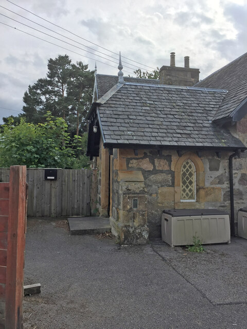
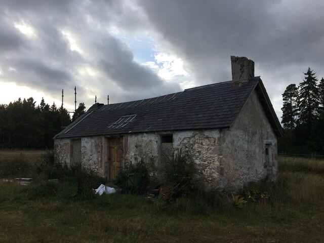
Belliehead Pool Images

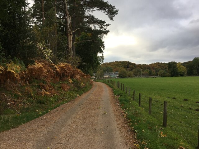
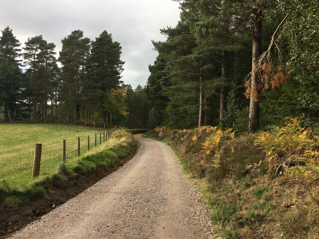
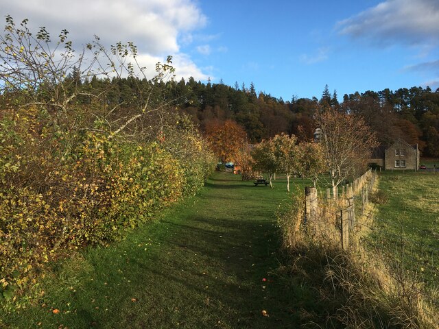
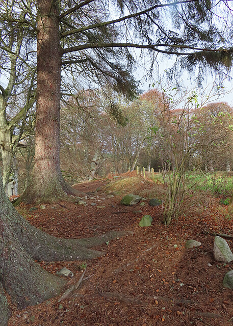
Images are sourced within 2km of 57.547056/-3.6689213 or Grid Reference NJ0051. Thanks to Geograph Open Source API. All images are credited.

Section of Logie School
OS Flush Bracket 11954 - Logie, School <span class="nowrap"><a title="https://www.bench-marks.org.uk/bm321" rel="nofollow ugc noopener" href="https://www.bench-marks.org.uk/bm321">Link</a><img style="margin-left:2px;" alt="External link" title="External link - shift click to open in new window" src="https://s1.geograph.org.uk/img/external.png" width="10" height="10"/></span>
OS Flush Bracket 11954 - Logie, School
Logie School
Logie School
Sluie Cottage
Sluie Cottage
Road to Mains of Sluie
Road to Mains of Sluie This gravel road appears to have been recently regraded.
Road to Mains of Sluie
This gravel road appears to have been recently regraded.
Path, Logie
Path, Logie
Path near Logie Steading
Path at Logie This is part of a network of waymarked path around Logie Steading.
Path at Logie
This is part of a network of waymarked path around Logie Steading.
River Findhorn This is one of the few spots with a view of the river that is not partly obscured by trees.
River Findhorn
This is one of the few spots with a view of the river that is not partly obscured by trees.
Track past Honey Howe Honey Howe is a small knoll to the left here, obscured by the vegetation.
Track past Honey Howe
Honey Howe is a small knoll to the left here, obscured by the vegetation.
Forest Installation This curious structure is at a crossroads in Logie Wood. My companions speculated that it is a play area for the amusement of children bored with walking.
Forest Installation
This curious structure is at a crossroads in Logie Wood. My companions speculated that it is a play area for the amusement of children bored with walking.
Fungus in the Forest No, sorry, I cannot identify the species.
Fungus in the Forest
No, sorry, I cannot identify the species.
Woodland Path This is the upper, and thus at this time of year sunnier, of the paths on the east side of the Findhorn gorge between Logie and Sluie.
Woodland Path
This is the upper, and thus at this time of year sunnier, of the paths on the east side of the Findhorn gorge between Logie and Sluie.
Path in Sunshine Having been rained on all the way out to the turning point, we are now enjoying a cloudless sky as we make our way back to Logie Steading.
Path in Sunshine
Having been rained on all the way out to the turning point, we are now enjoying a cloudless sky as we make our way back to Logie Steading.
Forest Clearing The path emerges here into a clearing from which there are fine but unphotographable views straight into the sun of the Findhorn gorge. This is looking back to the north.
Forest Clearing
The path emerges here into a clearing from which there are fine but unphotographable views straight into the sun of the Findhorn gorge. This is looking back to the north.
Forest Path This is a delightful informal path, covered at the moment with fallen leaves.
Forest Path
This is a delightful informal path, covered at the moment with fallen leaves.
Autumn Colours The fallen beech leaves have created a colourful contrast on and beside the path with the bright green moss-covered boulders.
Autumn Colours
The fallen beech leaves have created a colourful contrast on and beside the path with the bright green moss-covered boulders.
Show me another place!

Belliehead Pool is located at Grid Ref: NJ0051 (Lat: 57.547056, Lng: -3.6689213)

Unitary Authority: Moray

Police Authority: North East

What 3 Words

///posts.quail.forwarded. Near Forres, Moray

Related Wikis

Doune of Relugas

The Doune of Relugas is a hill fort located 9.25 kilometres (5.75 mi) south south west of Forres in Moray, Scotland. It is situated on a rocky knoll rising...

Randolph's Leap

Randolph's Leap is an SSSI and area of countryside in Moray, Scotland. The area surrounds the River Findhorn and is actually named after the point at the...

Darnaway Castle

Darnaway Castle, also known as Tarnaway Castle, is located in Darnaway Forest, 3 miles (4.8 km) southwest of Forres in Moray, Scotland. This was Comyn...

Dunphail Castle

Dunphail Castle is a ruined 14th-century tower house, about 6.5 miles (10.5 km) south of Forres, Moray, Scotland, west of nearby Dunphail House, and east...

Nearby Amenities

Located within 500m of 57.547056,-3.6689213
Corkscrew
Rapids: 4
Waterway: rapids
Lat/Long: 57.5451581/-3.6701374
The Slot
Rapids: 4
Waterway: rapids
Lat/Long: 57.5489284/-3.6683122
Triple Steps
Rapids: 4
Waterway: rapids
Lat/Long: 57.543668/-3.6717228
Rapids: 4
Waterway: rapids
Lat/Long: 57.5477136/-3.6693865
Description: overhanging rock, portage
Whitewater: hazard
Lat/Long: 57.5488105/-3.6681859
Power: pole
Lat/Long: 57.5489995/-3.6755137
Power: pole
Lat/Long: 57.5485407/-3.6752366
Power: pole
Lat/Long: 57.5480905/-3.6749436
Power: pole
Lat/Long: 57.5475345/-3.6746133
Power: pole
Lat/Long: 57.5470142/-3.6743123
Power: pole
Lat/Long: 57.5465196/-3.673998
Power: pole
Lat/Long: 57.5459021/-3.6736251
Power: pole
Lat/Long: 57.5452617/-3.6732468
Power: pole
Lat/Long: 57.5438194/-3.6733054
Power: pole
Lat/Long: 57.543402/-3.6733028
The data included in this document is from www.openstreetmap.org. The data is made available under ODbL.

Have you been to Belliehead Pool?

Leave your review of Belliehead Pool below (or comments, questions and feedback).