Gelli-gron

Settlement in Glamorgan

Wales

Gelli-gron

Gellionnen Chapel
Gellionnen Chapel Credit: Sandy Gerrard

Gelli-gron is a small village located in the county of Glamorgan, Wales. Situated in the southern part of the country, it is nestled in the beautiful countryside, surrounded by rolling hills and picturesque landscapes. The village is part of the community of Llantrisant and is approximately 10 miles northwest of the capital city, Cardiff.

Historically, Gelli-gron was an important mining village, with coal mining being the primary industry in the area. However, like many other mining communities, Gelli-gron has undergone significant changes over the years. Today, the village has transitioned into a predominantly residential area, with a population of around 500 residents.

Despite its small size, Gelli-gron offers a close-knit community atmosphere, where neighbors know each other and a strong sense of community spirit prevails. The village is serviced by several amenities, including a local primary school, a community center, and a few shops. The nearby town of Llantrisant provides additional services and facilities such as supermarkets, restaurants, and healthcare facilities.

For nature enthusiasts, Gelli-gron is surrounded by stunning natural beauty, offering residents and visitors opportunities for outdoor activities like hiking, cycling, and exploring the countryside. The village is also well-connected to major transportation routes, with easy access to the M4 motorway, making it convenient for commuters to travel to nearby towns and cities.

In summary, Gelli-gron is a charming village in Glamorgan, Wales, known for its mining heritage, close community ties, and beautiful countryside. It provides a peaceful and idyllic setting for residents while offering proximity to essential amenities and easy access to larger urban areas.

If you have any feedback on the listing, please let us know in the comments section below.
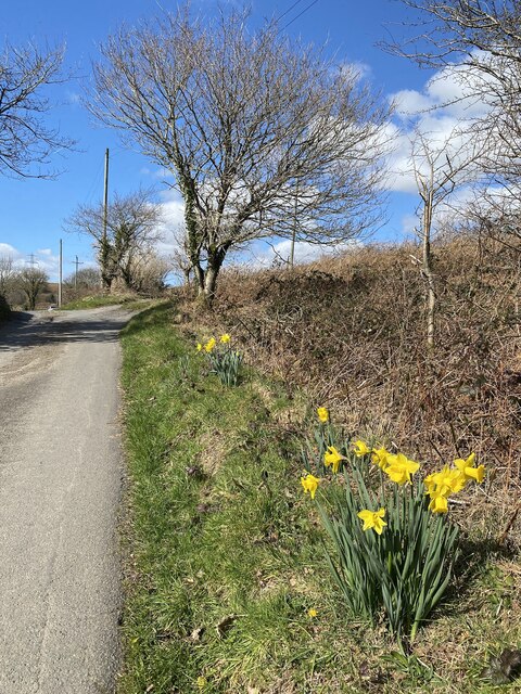
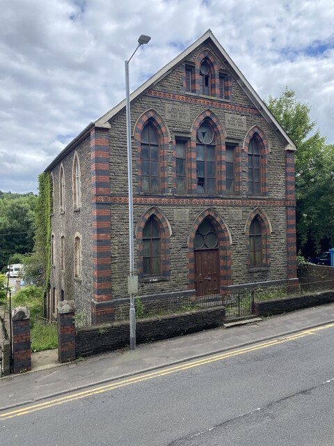
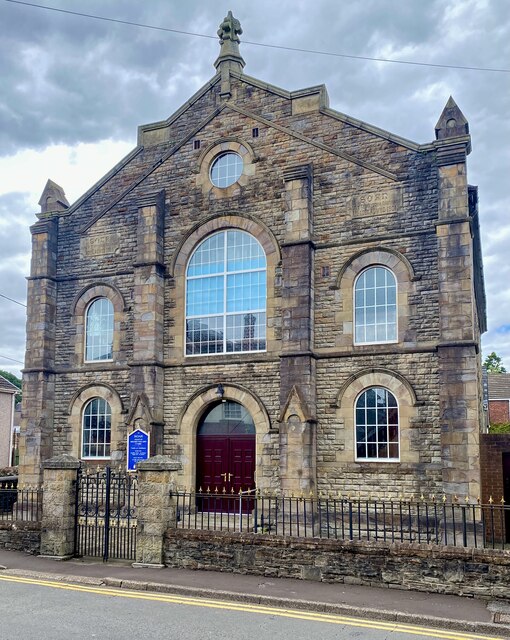
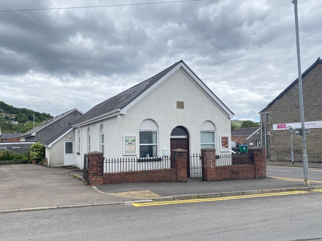
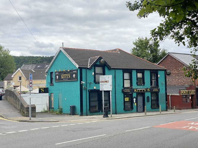
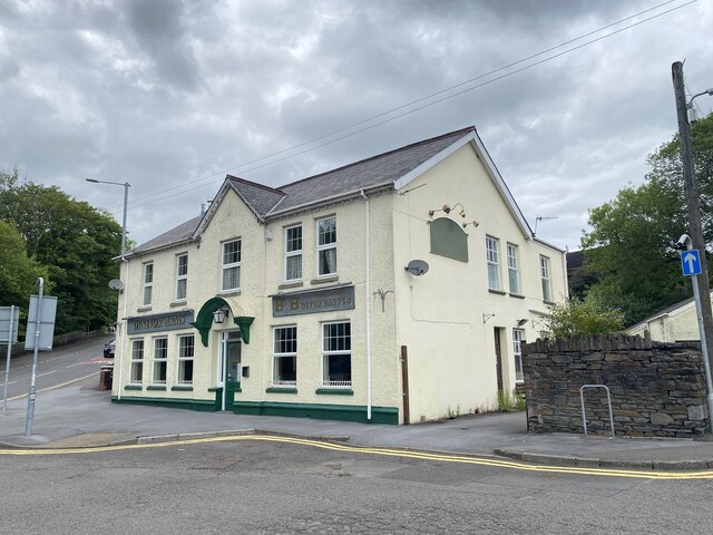
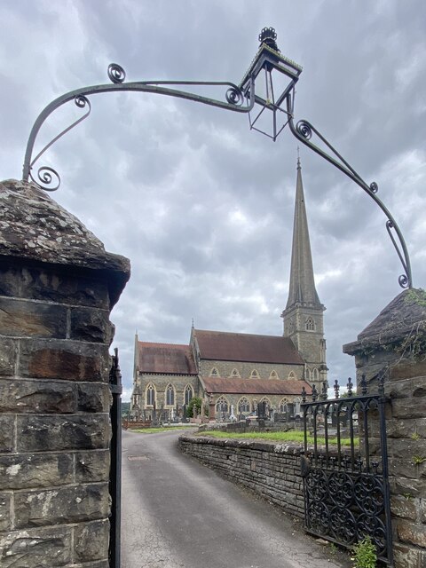
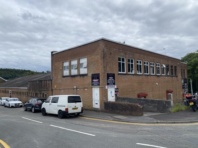
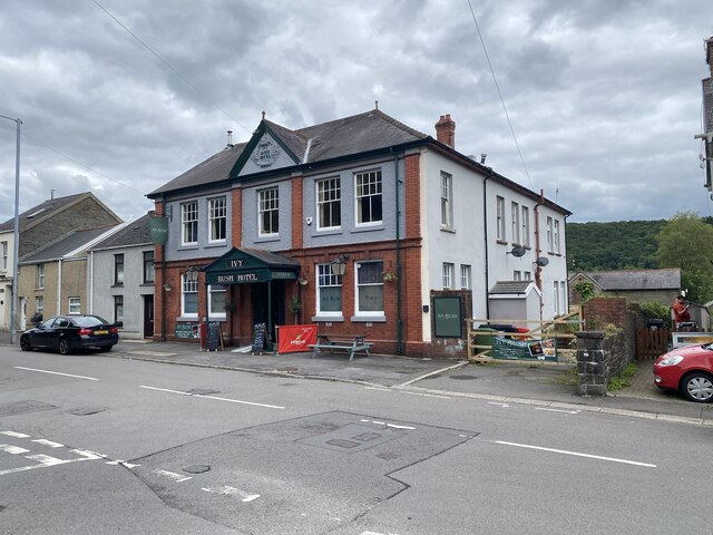
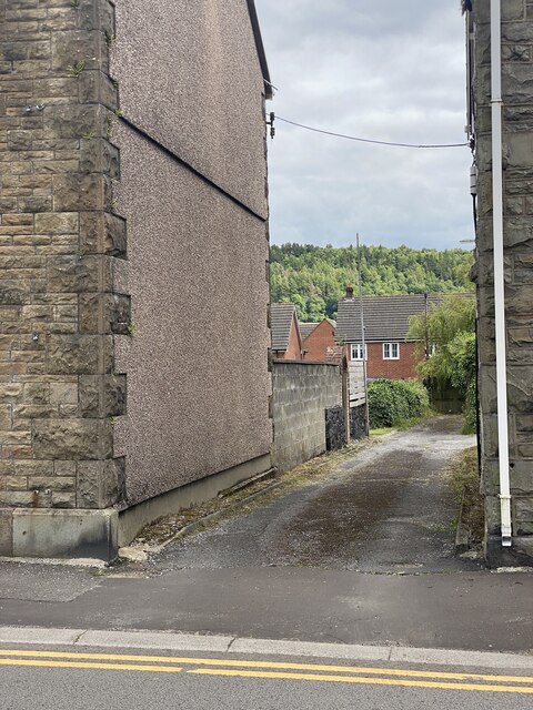
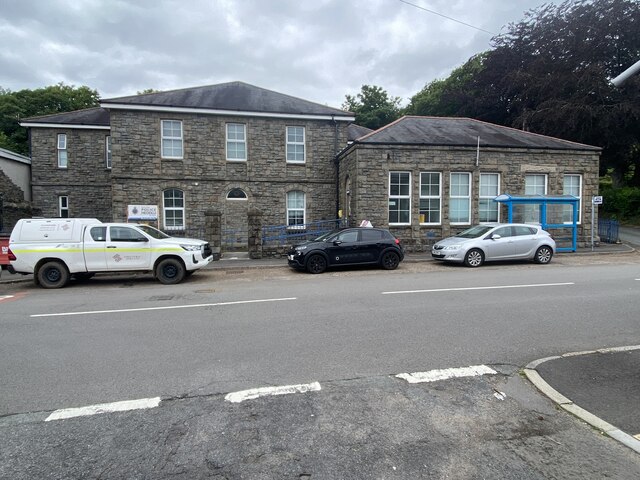
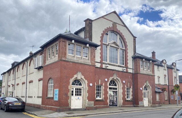
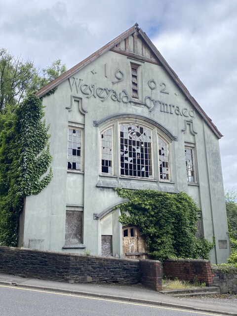
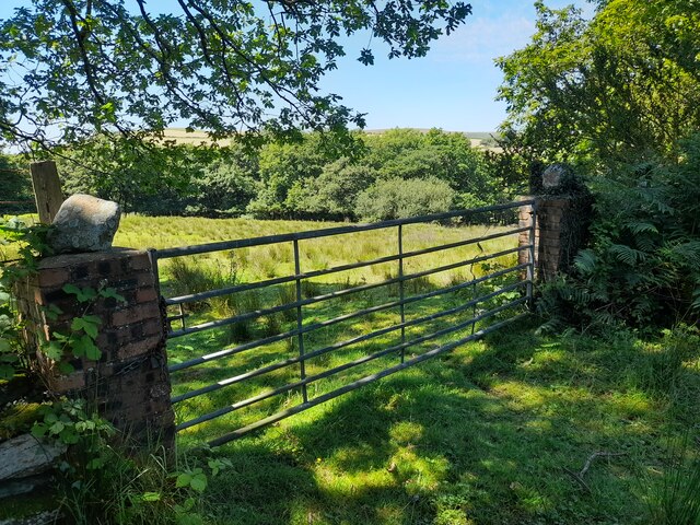
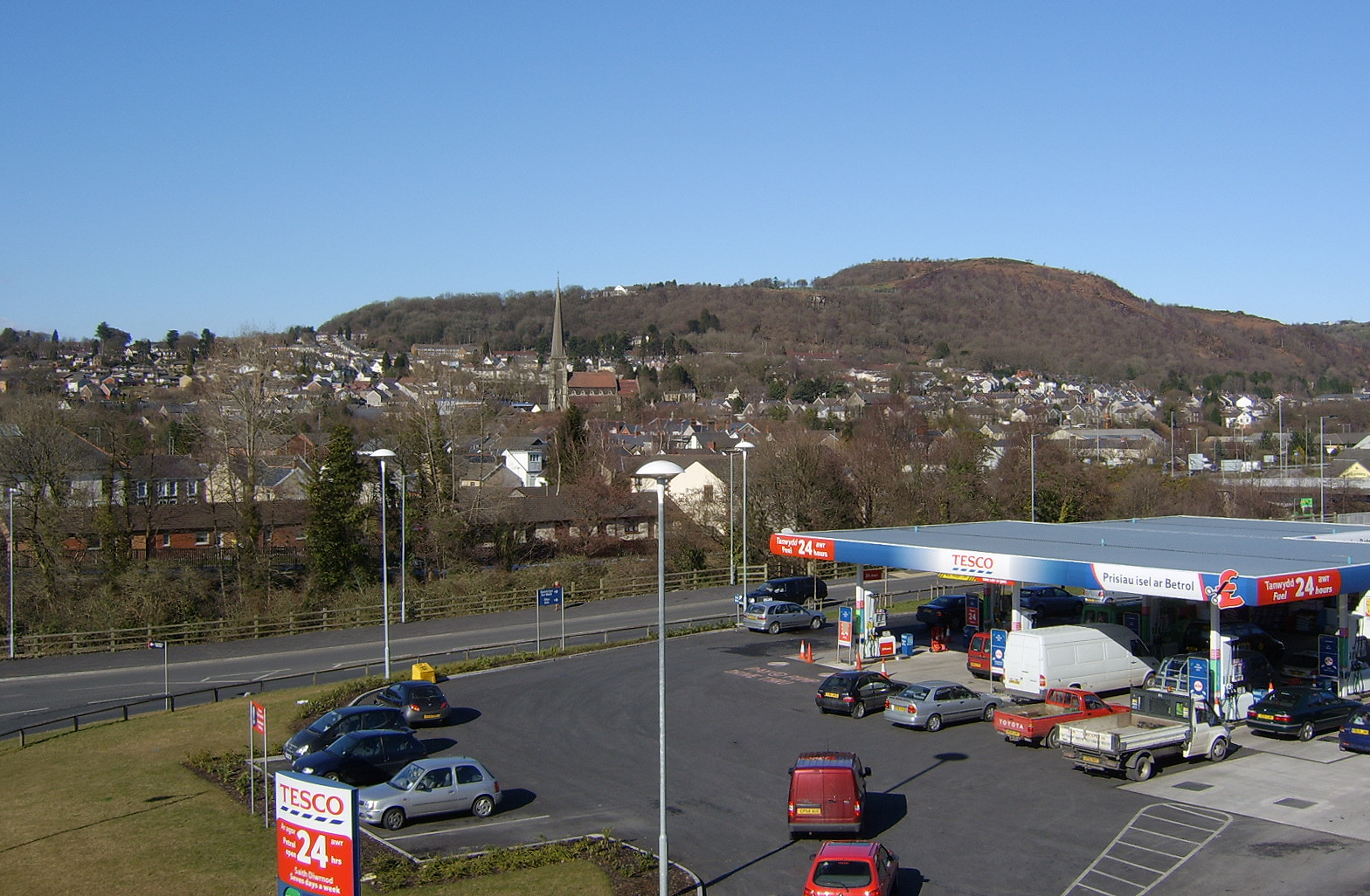
Gelli-gron Images

Images are sourced within 2km of 51.727814/-3.862736 or Grid Reference SN7104. Thanks to Geograph Open Source API. All images are credited.

Gellionnen Chapel
Gellionnen Chapel
Heol Las Approaching the turning to Gellifowy Fach farm.
Heol Las
Approaching the turning to Gellifowy Fach farm.
Adulam Baptist Chapel, Pontardawe Welsh Baptist Chapel built in 1845 and rebuilt in 1889 (1899?). Derelict since 2004 and subject to vandalism since then.

See <span class="nowrap"><a title="https://coflein.gov.uk/en/site/10119?term=Pontardawe%20&pg=2" rel="nofollow ugc noopener" href="https://coflein.gov.uk/en/site/10119?term=Pontardawe%20&pg=2">Link</a><img style="margin-left:2px;" alt="External link" title="External link - shift click to open in new window" src="https://s1.geograph.org.uk/img/external.png" width="10" height="10"/></span>
Adulam Baptist Chapel, Pontardawe
Welsh Baptist Chapel built in 1845 and rebuilt in 1889 (1899?). Derelict since 2004 and subject to vandalism since then. See LinkExternal link
Soar Welsh Presbyterian Church, Pontardawe Built in 1866 and restored in 1901. 

See <span class="nowrap"><a title="https://coflein.gov.uk/en/site/10100/" rel="nofollow ugc noopener" href="https://coflein.gov.uk/en/site/10100/">Link</a><img style="margin-left:2px;" alt="External link" title="External link - shift click to open in new window" src="https://s1.geograph.org.uk/img/external.png" width="10" height="10"/></span>
Soar Welsh Presbyterian Church, Pontardawe
Built in 1866 and restored in 1901. See LinkExternal link
Gosen Apostolic Church See <span class="nowrap"><a title="https://coflein.gov.uk/en/site/13414?term=Pontardawe%20&pg=2" rel="nofollow ugc noopener" href="https://coflein.gov.uk/en/site/13414?term=Pontardawe%20&pg=2">Link</a><img style="margin-left:2px;" alt="External link" title="External link - shift click to open in new window" src="https://s1.geograph.org.uk/img/external.png" width="10" height="10"/></span>
Gosen Apostolic Church
See LinkExternal link
Pontardawe Library The building also serves as the Pontardawe Hwb - a community facility.
Pontardawe Library
The building also serves as the Pontardawe Hwb - a community facility.
Kitty’s, Pontardawe Public house in Pontardawe.
Kitty’s, Pontardawe
Public house in Pontardawe.
Dynevor Arms Public House in Pontardawe.
Dynevor Arms
Public House in Pontardawe.
St Peter’s Church, Pontardawe
Bodybuilding Hardcore Gym Formerly the Pavilion Cinema.

See also <span class="nowrap"><a title="https://coflein.gov.uk/en/site/416827/?term=Pontardawe%20" rel="nofollow ugc noopener" href="https://coflein.gov.uk/en/site/416827/?term=Pontardawe%20">Link</a><img style="margin-left:2px;" alt="External link" title="External link - shift click to open in new window" src="https://s1.geograph.org.uk/img/external.png" width="10" height="10"/></span>
Bodybuilding Hardcore Gym
Formerly the Pavilion Cinema. See also LinkExternal link
Ivy Bush Hotel
Ivy Bush Hotel
School Lane, Pontardawe
Police Station, Pontardawe
Pontardawe Arts Centre Formerly Pontardawe Public Hall and Institute, built in 1908 and opened by Adelina Patti.

See <span class="nowrap"><a title="https://coflein.gov.uk/en/site/414794/?term=Pontardawe%20" rel="nofollow ugc noopener" href="https://coflein.gov.uk/en/site/414794/?term=Pontardawe%20">Link</a><img style="margin-left:2px;" alt="External link" title="External link - shift click to open in new window" src="https://s1.geograph.org.uk/img/external.png" width="10" height="10"/></span>
Pontardawe Arts Centre
Formerly Pontardawe Public Hall and Institute, built in 1908 and opened by Adelina Patti. See LinkExternal link
Wesleyaid Cymraeg Horeb Welsh Wesleyan Chapel.

The building was noted for its "spray of wild typography on the upper façade", marking out the words "1902 - Wesleyaid Cymraeg".
Wesleyaid Cymraeg
Horeb Welsh Wesleyan Chapel. The building was noted for its "spray of wild typography on the upper façade", marking out the words "1902 - Wesleyaid Cymraeg".
Gateway near Ffynnon-wen Spring
Ordnance Survey Cut Mark This OS cut mark can be found on the wall of No70 Gwyn Street. It marks a point 53.273m above mean sea level.
Ordnance Survey Cut Mark
This OS cut mark can be found on the wall of No70 Gwyn Street. It marks a point 53.273m above mean sea level.
Farmland looking towards Gwern-llwyn farm What looks like meadow land in the foreground was briefly an open scar on the landscape a couple of years ago as the gas gas pipeline work passed straight through this area.
Farmland looking towards Gwern-llwyn farm
What looks like meadow land in the foreground was briefly an open scar on the landscape a couple of years ago as the gas gas pipeline work passed straight through this area.
Show me another place!

Gelli-gron is located at Grid Ref: SN7104 (Lat: 51.727814, Lng: -3.862736)

Unitary Authority: Neath Port Talbot

Police Authority: South Wales

Also known as: Gellygron

What 3 Words

///easy.cassettes.logs. Near Clydach, Swansea

Related Wikis

A474 road

The A474 is a suburban main route in south Wales. == Route == Settlements served by the A474 include: Briton Ferry Neath Neath Abbey Cadoxton Rhyddings...

Pontardawe (electoral ward)

Pontardawe is the name of an electoral ward of Neath Port Talbot county borough, Wales. It is a division of the Pontardawe community and falls within the...

Alltwen television relay station

The Alltwen television relay station is sited on a hill to the southwest of Pontardawe in the Swansea Valley, at least a kilometre away from the village...

Pontardawe

Pontardawe (Welsh pronunciation: [pɔntarˈdawɛ]) is a town and a community in the lower Swansea Valley (Welsh: Cwmtawe). it had a population of approximately...

Nearby Amenities

Located within 500m of 51.727814,-3.862736
Waterway: waterfall
Lat/Long: 51.7270985/-3.8632608
Barrier: kissing_gate
Foot: yes
Lat/Long: 51.7245608/-3.8637934
Fixme: continue
Lat/Long: 51.7248184/-3.8641553
Post Box
Collection Times: Mo-Fr 16:45; Sa 11:15
Post Box Type: lamp
Ref: SA8 651
Royal Cypher: EIIR
Royal Cypher Wikidata: Q33102113
Lat/Long: 51.7278863/-3.8605449
Turning Loop
Lat/Long: 51.7264053/-3.8599725
Power: pole
Lat/Long: 51.7273986/-3.868593
Power: pole
Lat/Long: 51.7287061/-3.868601
Power: pole
Lat/Long: 51.7293706/-3.8686466
Power: pole
Lat/Long: 51.7300202/-3.8689792
Direction: SSE
Generator Method: photovoltaic
Generator Output Electricity: yes
Generator Solar Modules: 9
Generator Source: solar
Generator Type: solar_photovoltaic_panel
Location: roof
Power: generator
Lat/Long: 51.7276827/-3.8579232
Direction: 165
Generator Method: photovoltaic
Generator Output Electricity: yes
Generator Solar Modules: 10
Generator Source: solar
Generator Type: solar_photovoltaic_panel
Location: roof
Power: generator
Lat/Long: 51.7270628/-3.858932
Direction: 165
Generator Method: photovoltaic
Generator Output Electricity: yes
Generator Solar Modules: 10
Generator Source: solar
Generator Type: solar_photovoltaic_panel
Location: roof
Power: generator
Lat/Long: 51.7270431/-3.8590628
Direction: 85
Generator Method: photovoltaic
Generator Output Electricity: yes
Generator Solar Modules: 5
Generator Source: solar
Generator Type: solar_photovoltaic_panel
Location: roof
Power: generator
Lat/Long: 51.7290565/-3.8607237
Direction: 175
Generator Method: photovoltaic
Generator Output Electricity: yes
Generator Solar Modules: 9
Generator Source: solar
Generator Type: solar_photovoltaic_panel
Location: roof
Power: generator
Lat/Long: 51.7290334/-3.860883
The data included in this document is from www.openstreetmap.org. The data is made available under ODbL.

Have you been to Gelli-gron?

Leave your review of Gelli-gron below (or comments, questions and feedback).