Lochan Sgeireach
Lake, Pool, Pond, Freshwater Marsh in Ross-shire
Scotland
Lochan Sgeireach

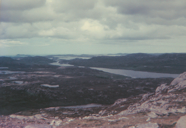
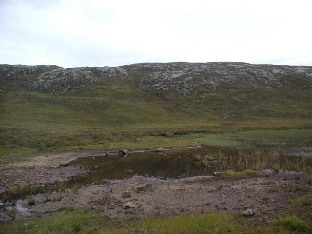
Lochan Sgeireach is a small and picturesque freshwater loch located in Ross-shire, Scotland. Nestled amidst the stunning Highland scenery, this loch is known for its tranquil and serene atmosphere, making it a popular destination for nature lovers and outdoor enthusiasts.
Covering an area of approximately 10 acres, Lochan Sgeireach is surrounded by rolling hills and dense vegetation, which adds to its natural charm. The loch is situated at an elevation of around 300 meters above sea level, contributing to its pristine and untouched beauty.
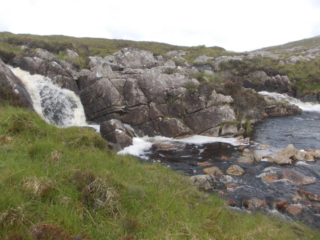
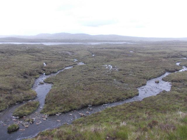
One of the notable features of Lochan Sgeireach is its crystal-clear water, which is fed by natural springs and small streams. The water is known to be exceptionally clean and supports a diverse range of aquatic life, including various species of fish and freshwater invertebrates.
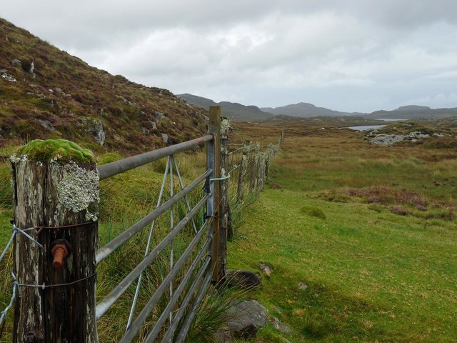
The surrounding area of the loch is characterized by a mix of heather, boggy ground, and patches of woodland. This creates a unique habitat for a variety of flora and fauna, making it an ideal spot for birdwatching and wildlife observation. Common sightings include waterfowl, such as ducks and geese, as well as raptors like buzzards and kestrels.
Lochan Sgeireach provides a peaceful retreat for visitors, who can enjoy activities such as fishing, boating, and walking along the scenic trails that encircle the loch. Its secluded location and pristine environment make it an ideal destination for those seeking solace in nature.
In conclusion, Lochan Sgeireach is a small but enchanting freshwater loch in Ross-shire, Scotland. With its stunning surroundings, diverse wildlife, and peaceful ambiance, it offers a delightful experience for anyone seeking to connect with nature in a serene setting.
If you have any feedback on the listing, please let us know in the comments section below.
Lochan Sgeireach Images
Images are sourced within 2km of 58.125924/-6.8881985 or Grid Reference NB1225. Thanks to Geograph Open Source API. All images are credited.


Lochan Sgeireach is located at Grid Ref: NB1225 (Lat: 58.125924, Lng: -6.8881985)
Unitary Authority: Na h-Eileanan an Iar
Police Authority: Highlands and Islands
What 3 Words
///mutual.currently.obligated. Near Carloway, Na h-Eileanan Siar
Nearby Locations
Related Wikis

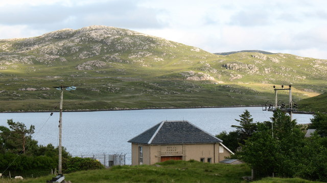
Gisla Hydro-Electric Scheme
Gisla Hydro-Electric Scheme was a small scheme promoted by the North of Scotland Hydro-Electric Board on the Isle of Lewis, Outer Hebrides, Scotland. It...

Fuaigh Beag
Fuaigh Beag or Vuia Be(a)g is an island in the Outer Hebrides. It is off the west coast of Lewis near Great Bernera in Loch Roag. Its name means "little...
Flodaigh, Lewis
Flodaigh is a small island in Loch Roag on the west coast of Lewis in the Outer Hebrides of Scotland. It is about 33 hectares (82 acres) in extent and...
Loch Ròg
Loch Ròg or Loch Roag is a large sea loch on the west coast of Lewis, Outer Hebrides. It is broadly divided into East Loch Roag and West Loch Roag with...
Nearby Amenities
Located within 500m of 58.125924,-6.8881985Have you been to Lochan Sgeireach?
Leave your review of Lochan Sgeireach below (or comments, questions and feedback).