Àird na Monadh
Coastal Feature, Headland, Point in Inverness-shire
Scotland
Àird na Monadh
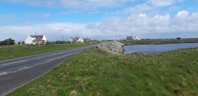
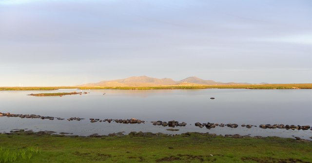
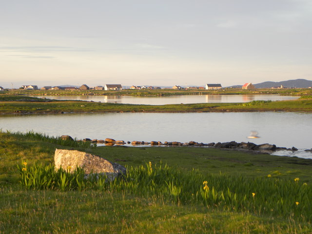
Àird na Monadh is a captivating coastal feature situated in Inverness-shire, Scotland. This headland, also known as a point, is located along the western shores of Loch Ness, approximately 17 miles southwest of the city of Inverness.
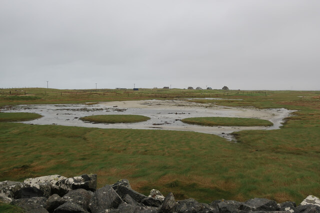
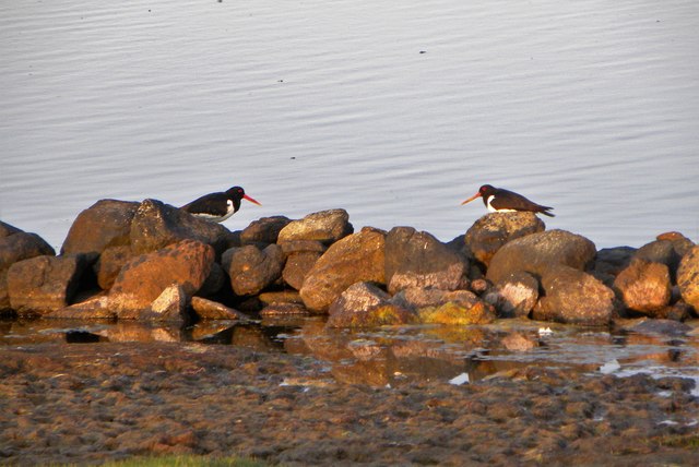
With its breathtaking natural beauty and dramatic cliffs, Àird na Monadh offers visitors a stunning panoramic view of the surrounding landscape. The headland is formed by a protrusion of land that juts out into the loch, creating a picturesque setting for nature enthusiasts and photographers alike. The rugged terrain is covered in lush green vegetation, providing a contrasting backdrop to the deep blue waters of Loch Ness.
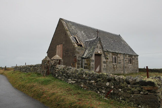
The headland boasts a rich history and is known to be a site of archaeological interest. The remains of ancient settlements and burial sites have been discovered in the area, indicating human habitation dating back thousands of years. These archaeological findings contribute to the historical significance of Àird na Monadh and offer a glimpse into the past.
Access to Àird na Monadh is possible via a narrow road that winds its way along the loch's edge. The journey to the headland is an experience in itself, with breathtaking views at every turn. Once at the headland, visitors can explore the area on foot, taking in the awe-inspiring cliffs and breathing in the fresh Scottish air.
In conclusion, Àird na Monadh is a remarkable coastal feature that showcases the natural beauty and historical significance of Inverness-shire. Its stunning vistas and archaeological importance make it a must-visit destination for those seeking to immerse themselves in Scotland's rich heritage.
If you have any feedback on the listing, please let us know in the comments section below.
Àird na Monadh Images
Images are sourced within 2km of 57.385826/-7.3657357 or Grid Reference NF7745. Thanks to Geograph Open Source API. All images are credited.


Àird na Monadh is located at Grid Ref: NF7745 (Lat: 57.385826, Lng: -7.3657357)
Unitary Authority: Na h-Eileanan an Iar
Police Authority: Highlands and Islands
Also known as: Ardnamonie
What 3 Words
///asterisk.reinforce.wired. Near Balivanich, Na h-Eileanan Siar
Nearby Locations
Related Wikis

Iochdar
Iochdar (Scottish Gaelic: An t-Ìochdair), also spelled Eochar, is a hamlet and community on the west coast of the island of South Uist, in the Outer Hebrides...

Balgarva
Balgarva (Scottish Gaelic: Baile Gharbhaidh) is a crofting settlement on South Uist in the Outer Hebrides, Scotland. Balgarva is within the parish of South...

Loch Bee
Loch Bì, sometimes anglicised as Loch Bee, is the largest loch on the island of South Uist in the Outer Hebrides of Scotland. It lies at the northern end...

Carnan (townland)
Carnan is a townland in County Tyrone, Northern Ireland. It is situated in the historic barony of Dungannon Upper and the civil parish of Arboe and covers...

Kilaulay
Kilaulay (Scottish Gaelic: Cill Amhlaigh / Cill Amhlaidh ) is a crofting township on the island of South Uist, in the Outer Hebrides of Scotland. Kilaulay...

Our Lady of the Isles
Our Lady of the Isles (Gaelic: Moire ro Naomh nan Eilean or Bana Thighearna nan Eilean) is a sculpture of the Madonna and Child, on South Uist in the Outer...

Borve Castle, Benbecula
Borve Castle, also known as Castle Wearie, and Caisteal Bhuirgh in Scottish Gaelic, is a ruined 14th-century tower house, located at the south-west of...

Grimsay (South East Benbecula)
Grimsay, south east of Benbecula is a tidal island of the Outer Hebrides. It is connected to Benbecula by a causeway which carries the B891. In the 2001...
Nearby Amenities
Located within 500m of 57.385826,-7.3657357Have you been to Àird na Monadh?
Leave your review of Àird na Monadh below (or comments, questions and feedback).