Mio Ness
Coastal Feature, Headland, Point in Shetland
Scotland
Mio Ness
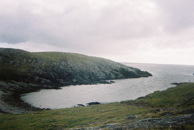
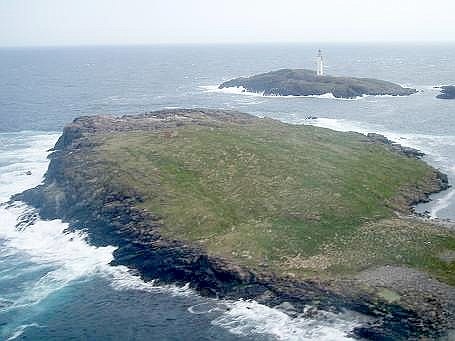
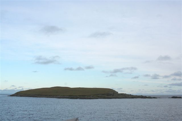
Mio Ness is a distinct coastal feature located in the Shetland Islands, an archipelago off the northeastern coast of Scotland. It is situated on the mainland of Shetland, specifically on the western side of the island of Mainland. Mio Ness can be classified as both a headland and a point due to its prominent geographical characteristics.
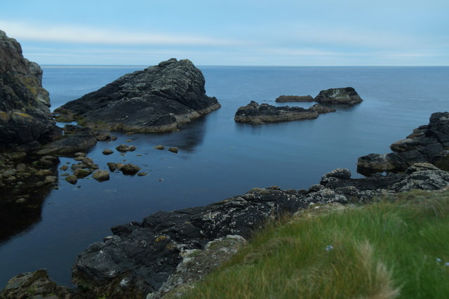
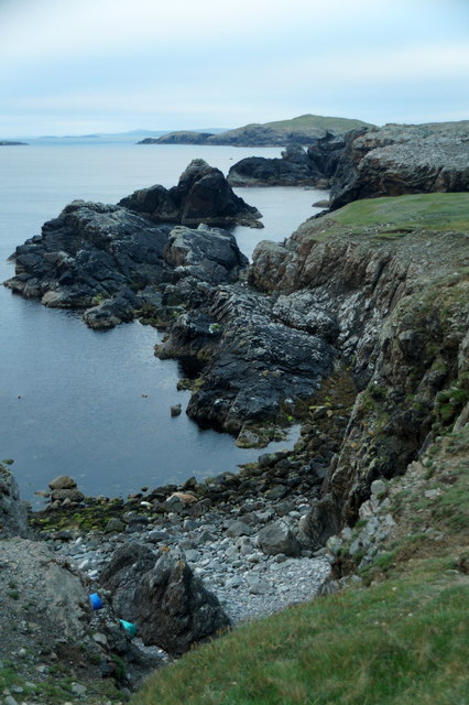
This coastal feature is characterized by steep cliffs that line the coastline, rising dramatically from the surrounding sea. These cliffs are composed of sedimentary rocks, primarily sandstone and shale, and they showcase intricate layers that have been shaped by millions of years of geological processes.
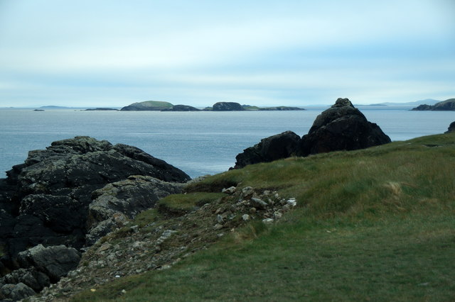
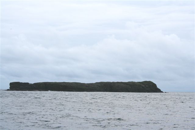
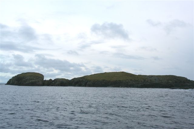
Mio Ness juts out into the North Atlantic Ocean, offering panoramic views of the surrounding sea and neighboring islands. Its position makes it an ideal location for observing marine wildlife, such as seabirds and seals, which are abundant in the area.
The name "Mio Ness" is derived from Old Norse, reflecting the strong Norse influence in the region's history. "Mio" is believed to mean "narrow" or "small," while "Ness" refers to a headland or promontory. This name accurately describes the physical characteristics of the feature, as Mio Ness is indeed a narrow and prominent land formation extending into the sea.
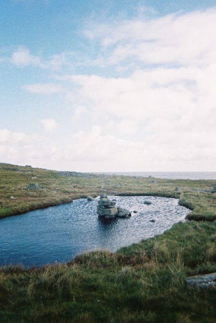
Mio Ness is a popular destination for nature enthusiasts and hikers, offering various walking trails along its rugged coastline. The area is also known for its picturesque beauty, with its towering cliffs, crashing waves, and breathtaking sunsets making it a favorite spot for photographers and artists alike.
If you have any feedback on the listing, please let us know in the comments section below.
Mio Ness Images
Images are sourced within 2km of 60.411077/-0.79607737 or Grid Reference HU6670. Thanks to Geograph Open Source API. All images are credited.


Mio Ness is located at Grid Ref: HU6670 (Lat: 60.411077, Lng: -0.79607737)
Unitary Authority: Shetland Islands
Police Authority: Highlands and Islands
What 3 Words
///masks.decimal.cobble. Near Symbister, Shetland Islands
Nearby Locations
Related Wikis

Out Skerries
The Out Skerries are an archipelago of islets, some inhabited, in Shetland, Scotland, and are the easternmost part of Shetland. Locally, they are usually...
Housay
Housay (Scots: Housay), also known as West Isle, is one of the three islands that form the Out Skerries island group, the most easterly part of the Shetland...

Bruray
Bruray (Scots: Bruray) is one of the three Out Skerries islands of Shetland, and contains Scotland's most easterly settlement. It is separated from Housay...
Grunay
Grunay is an uninhabited island in the Out Skerries group, the most easterly part of Shetland, Scotland. Its area is 55.58 acres, or 22.49 hectares. The...
Bound Skerry
Bound Skerry is part of the Out Skerries group in the Shetland Islands. As well as being the most easterly island of that group, it is also the easternmost...
Outer Holm of Skaw
The Outer Holm of Skaw is a small, uninhabited islet, a rock outlier off the northeast coast of the island of Whalsay, in the Shetland Islands of Scotland...
Inner Holm of Skaw
The Inner Holm of Skaw is a small, uninhabited islet off the northern tip of the island of Whalsay, in the Shetland Islands of Scotland, north of the village...
Nista
Nista is a small islet of the Shetland Islands of Scotland, situated roughly 2 kilometres (1.2 mi) east off the coast of Whalsay. It lies to the north...
Have you been to Mio Ness?
Leave your review of Mio Ness below (or comments, questions and feedback).