Ness of Gossabrough
Coastal Feature, Headland, Point in Shetland
Scotland
Ness of Gossabrough
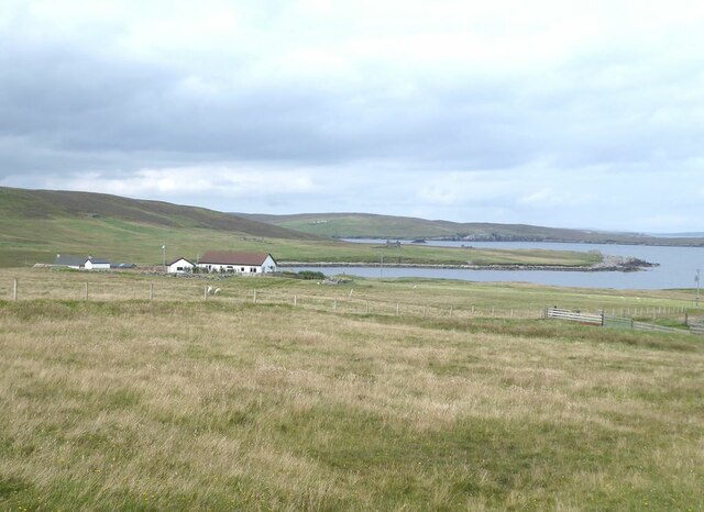
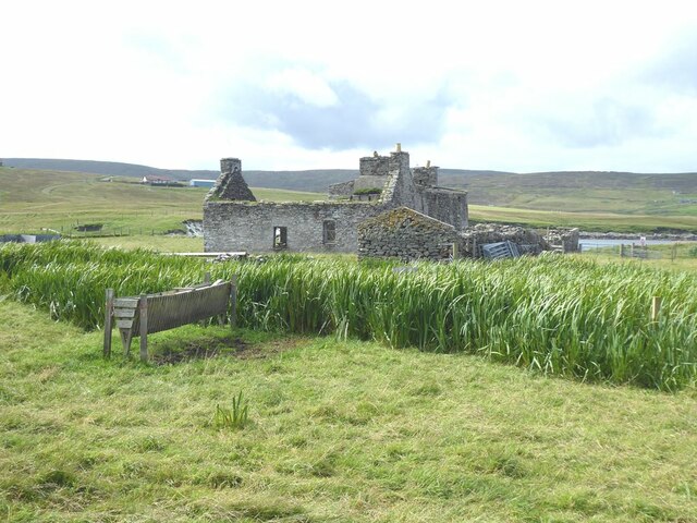
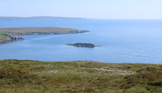
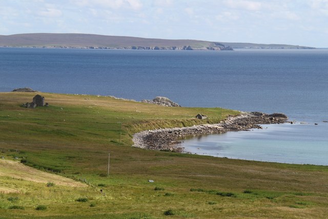
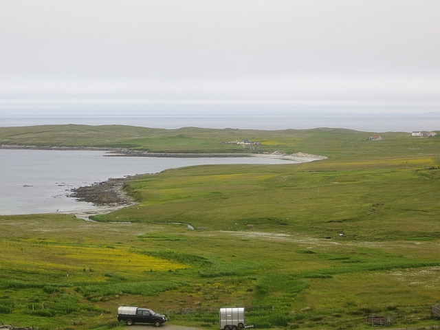
Ness of Gossabrough is a prominent coastal feature located on the Shetland Islands, an archipelago off the north coast of mainland Scotland. Situated on the west coast of the main island of Shetland, this headland juts out into the North Atlantic Ocean, offering stunning views of the surrounding rugged coastline.
The Ness of Gossabrough is characterized by its dramatic cliffs, which rise up to impressive heights and are carved out by the relentless waves of the ocean. The headland is composed of layers of sedimentary rock, exhibiting various colors and textures that add to its visual appeal.
At the tip of Ness of Gossabrough, a distinct point is formed, providing a vantage point that overlooks the vast expanse of the Atlantic Ocean. This point is a popular destination for nature enthusiasts, photographers, and birdwatchers. The area is known for its rich birdlife, with seabird colonies nesting on the cliffs, including species such as puffins, guillemots, and razorbills.
The Ness of Gossabrough is also surrounded by a diverse marine ecosystem, making it an excellent location for fishing and diving. The crystal-clear waters offer glimpses of underwater caves, kelp forests, and a variety of marine life, attracting divers and snorkelers from all around.
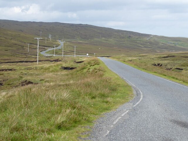
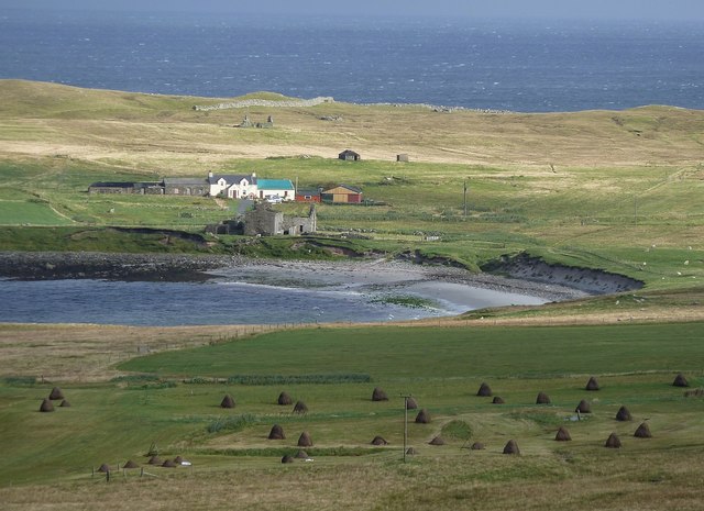
Access to Ness of Gossabrough is relatively easy, with a well-maintained footpath leading to the headland. Visitors can enjoy leisurely walks along the coastal path, taking in the breathtaking scenery and the sound of crashing waves against the cliffs.
In conclusion, the Ness of Gossabrough is a captivating coastal feature, offering a unique blend of dramatic cliffs, stunning views, and diverse wildlife. It is a must-visit destination for nature lovers and those seeking a peaceful retreat amidst the beauty of the Shetland Islands.
If you have any feedback on the listing, please let us know in the comments section below.
Ness of Gossabrough Images
Images are sourced within 2km of 60.530138/-1.0255733 or Grid Reference HU5383. Thanks to Geograph Open Source API. All images are credited.


Ness of Gossabrough is located at Grid Ref: HU5383 (Lat: 60.530138, Lng: -1.0255733)
Unitary Authority: Shetland Islands
Police Authority: Highlands and Islands
What 3 Words
///flop.conquest.action. Near Ulsta, Shetland Islands
Nearby Locations
Related Wikis

Gossabrough
Gossabrough is a coastal hamlet, wick and ness on the southeast side of the island of Yell, Shetland, Scotland. The Wick of Gossabrough lies between the...

Otterswick
Otterswick is a hamlet on the island of Yell in the Shetland Islands, on the inlet of Otters Wick. It is on the east side of the island. There is also...

Aywick
Aywick is a small settlement on the east side of Yell, an island forming part of the Shetland Islands north of Scotland.The naturalist Bobby Tulloch was...

Burra Voe
Burra Voe (Old Norse: Borgavagr, Broch Bay) is sheltered bay (voe) at the southeast corner of the island of Yell. The village of Burravoe (HU525795) is...

Burravoe
Burravoe is a community on the north shore of Burra Voe, in the south-east part of the island of Yell in the Shetland Islands, Scotland. The name Burravoe...

Old Haa Museum
The Old Haa of Brough in located in Burravoe, Yell, Shetland, Scotland. Built for Robert Tyrie, a merchant, in 1672, houses the local museum for Burravoe...

Copister
Copister is a village in Yell. It is a former centre for haaf fishing, and has a shingle beach. == References == Blackadder, Jill Slee (2003). Shetland...

Orfasay
Orfasay (Old Norse: Orfyrisey, meaning "tidal island") is one of the Shetland Islands. == Geography == Orfasay is a tidal island in Yell Sound, connected...
Nearby Amenities
Located within 500m of 60.530138,-1.0255733Have you been to Ness of Gossabrough?
Leave your review of Ness of Gossabrough below (or comments, questions and feedback).