More Head
Coastal Feature, Headland, Point in Banffshire
Scotland
More Head
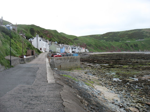
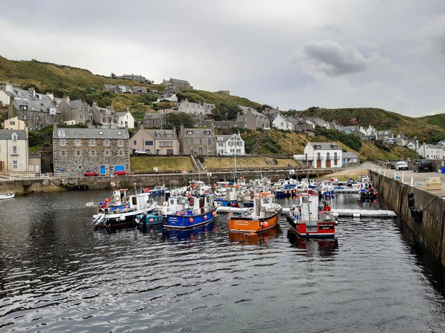
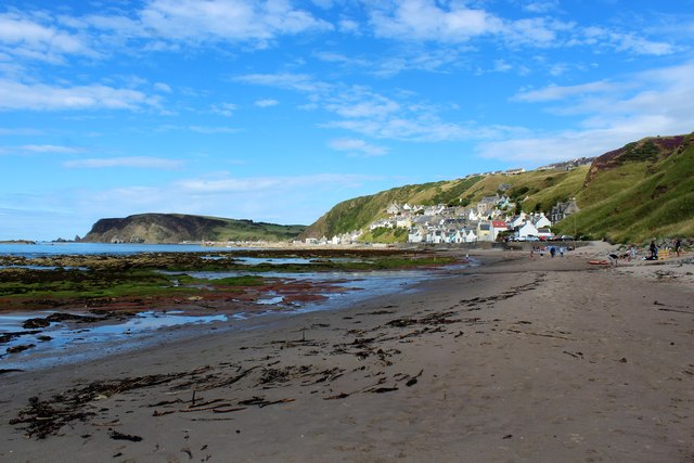
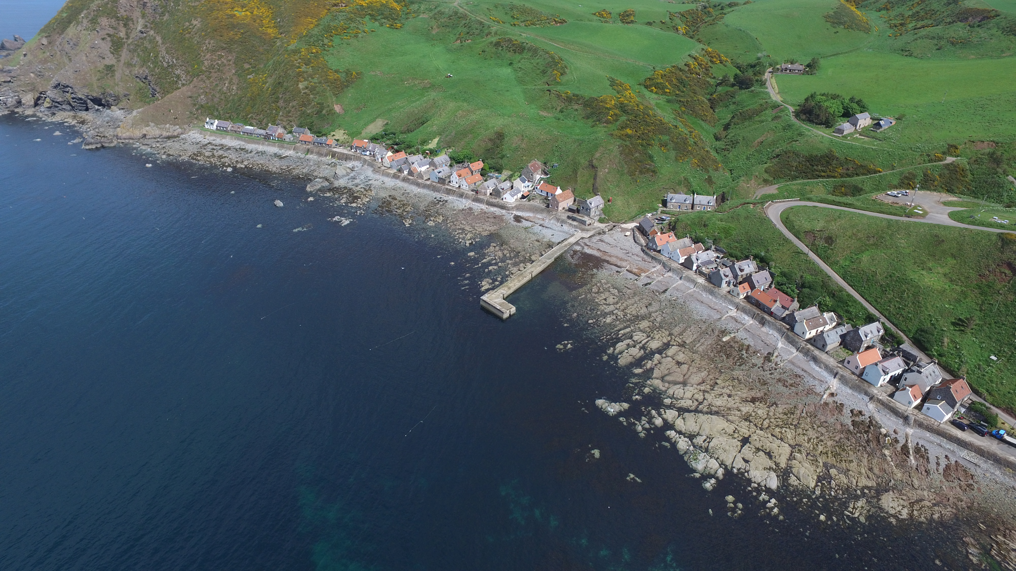
Located in the northeastern part of Scotland, More Head is a prominent coastal feature situated in Banffshire. It is characterized as a headland, a narrow strip of land that extends into the sea, forming a point. More Head is positioned along the picturesque coastline, offering breathtaking views of the North Sea.
The headland is known for its rugged cliffs, which rise dramatically from the water's edge. These cliffs are composed of various rock formations, including sandstone and shale, showcasing the geological diversity of the area. More Head is also home to a diverse range of flora and fauna, with seabirds nesting on the cliffs and marine life thriving in the surrounding waters.
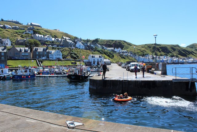
The headland serves as a popular destination for both locals and tourists alike, attracting nature enthusiasts and outdoor adventurers. Visitors can enjoy scenic walks along the coastal paths, taking in the stunning vistas and observing the abundant wildlife. Additionally, the area provides opportunities for various recreational activities such as birdwatching, fishing, and photography.
Historically, More Head has played a significant role in the maritime heritage of Banffshire. The headland served as a navigational landmark for ships, guiding them safely along the coast. Its strategic position also made it a site of interest for defense purposes, with remnants of fortifications dating back to earlier centuries.
Overall, More Head is a captivating coastal feature that offers a unique blend of natural beauty, wildlife, and historical significance. Its striking cliffs, panoramic views, and rich biodiversity make it a must-visit destination for those exploring the stunning coastline of Banffshire.
If you have any feedback on the listing, please let us know in the comments section below.
More Head Images
Images are sourced within 2km of 57.67551/-2.3608072 or Grid Reference NJ7865. Thanks to Geograph Open Source API. All images are credited.


More Head is located at Grid Ref: NJ7865 (Lat: 57.67551, Lng: -2.3608072)
Unitary Authority: Aberdeenshire
Police Authority: North East
What 3 Words
///mornings.reporting.uniforms. Near Macduff, Aberdeenshire
Nearby Locations
Related Wikis

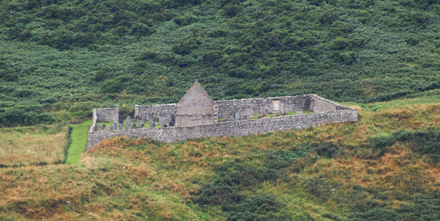
St John's Church, Gamrie
St John's Church is a ruined church and kirkyard in the parish of Gamrie, Aberdeenshire, Scotland. The church, dedicated to St John the Evangelist, was...

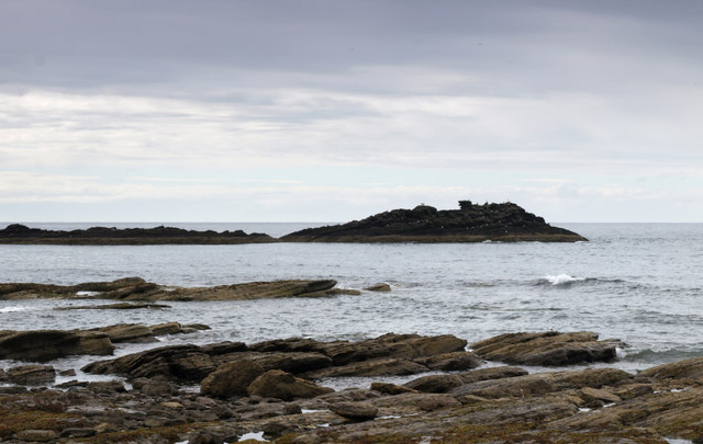
Gamrie Bay
Gamrie Bay is a bay in Aberdeenshire, Scotland. The bay is between Crovie Head and More Head. The villages of Gardenstown and Crovie are located within...

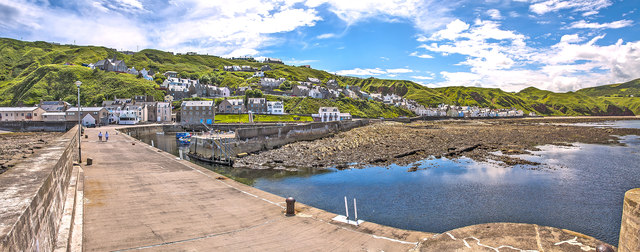
Gardenstown
Gardenstown (Scots: Gamrie) is a small coastal village, 8.7 miles (14.0 km) by road east of Banff in Aberdeenshire, northeastern Scotland. The village...
Crovie
Crovie is a small village in Aberdeenshire, Scotland, dating from the 18th century, a time when the sea was the only mode of transport to and from Scotland...

Dubford
Dubford is a small village in northern coastal Aberdeenshire, Scotland. Dubford is situated along the B9031 road approximately 6 kilometres (3.7 mi) east...

Cairn Lee
Cairn Lee is a prehistoric monument in Aberdeenshire, Scotland. Cairn Lee and proximate Longman Hill are the oldest prehistoric features in the local area...
Longmanhill
Longmanhill is a settlement in the Aberdeenshire parish of Gamrie; it is located along the A98 road connecting Fraserburgh to Macduff. This hamlet was...
Longman Hill
Longmanhill is a Bronze Age long barrow situated atop a prominent rounded landform in northern Aberdeenshire, Scotland near Banff Bay. Due to the low-lying...
Have you been to More Head?
Leave your review of More Head below (or comments, questions and feedback).