Brims Ness
Coastal Feature, Headland, Point in Orkney
Scotland
Brims Ness
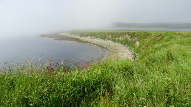
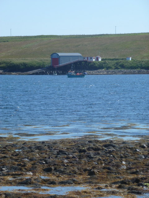
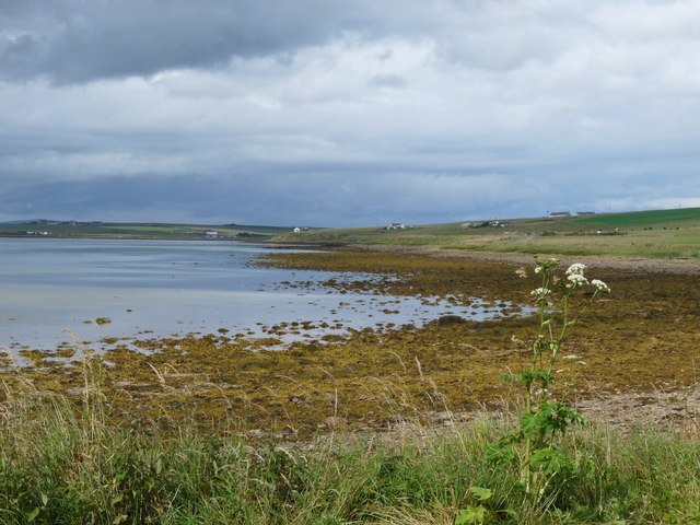
Brims Ness is a prominent coastal feature located in the Orkney Islands, off the northern coast of mainland Scotland. Positioned on the western outskirts of the town of Stromness, it is a stunning headland that extends into the Atlantic Ocean, forming a distinct point along the rugged coastline.
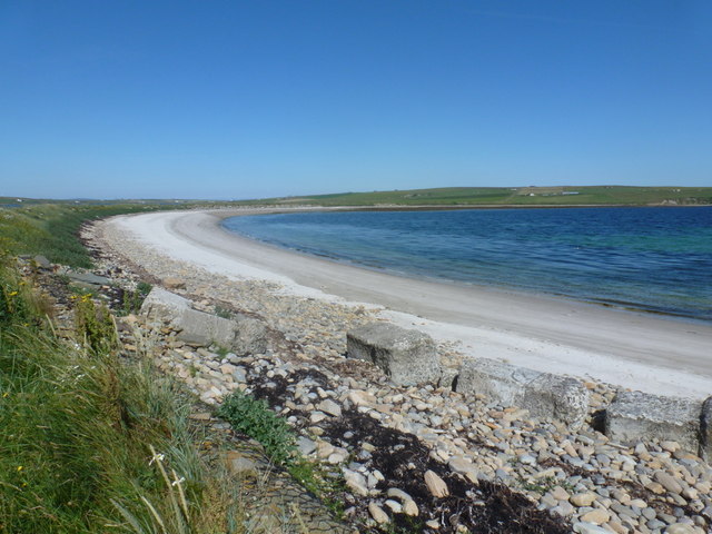
The geography of Brims Ness is characterized by its towering cliffs, which rise steeply from the ocean, providing breathtaking views of the surrounding sea and nearby islands. The headland is composed of sedimentary rocks, including sandstone and shale, which have been shaped over time by the relentless forces of erosion.
The area surrounding Brims Ness is rich in natural beauty and wildlife. The cliffs provide nesting sites for a variety of seabirds, including puffins, fulmars, and guillemots, making it a popular spot for birdwatching enthusiasts. Seals can often be spotted basking on the rocky shores, while dolphins and whales occasionally pass by in the deeper waters.
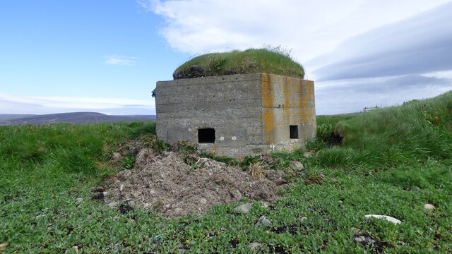
The history of Brims Ness is also of great interest. Archaeological excavations have revealed the presence of ancient settlements, dating back to the Neolithic period, as well as evidence of Viking activity in the area. The nearby Ring of Brodgar, a Neolithic stone circle, highlights the significance of the region during prehistoric times.
Brims Ness is a captivating coastal feature that offers a unique blend of natural beauty and historical significance. Its awe-inspiring cliffs, diverse wildlife, and rich cultural heritage make it a must-visit destination for nature lovers and history enthusiasts alike.
If you have any feedback on the listing, please let us know in the comments section below.
Brims Ness Images
Images are sourced within 2km of 58.776076/-3.2212914 or Grid Reference ND2988. Thanks to Geograph Open Source API. All images are credited.


Brims Ness is located at Grid Ref: ND2988 (Lat: 58.776076, Lng: -3.2212914)
Unitary Authority: Orkney Islands
Police Authority: Highlands and Islands
What 3 Words
///inefficient.embraced.lavender. Near Lyness, Orkney Islands
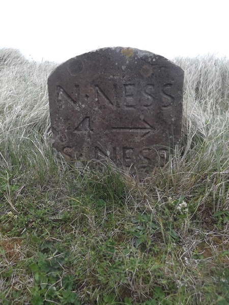
Nearby Locations
Related Wikis

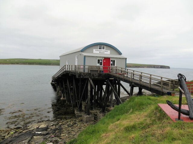
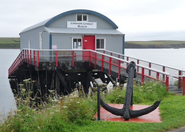
RNLB Thomas McCunn (ON 759)
RNLB Thomas McCunn (ON 759) is a 45ft 6in Watson-class lifeboat stationed at Longhope in Orkney, Scotland, from January 1933 until April 1962. During...

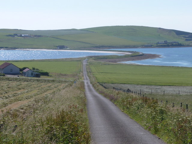
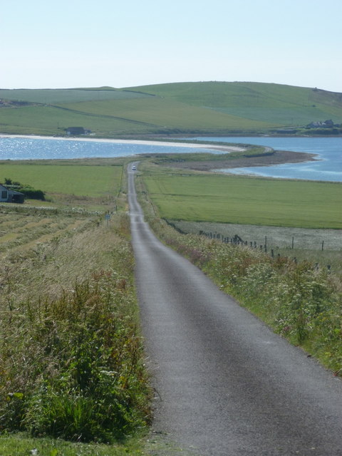
Brims, Orkney
Brims is a village at the southern point of the island of Hoy, in Orkney, Scotland. The settlement is within the parish of Walls and Flotta. The RNLI lifeboat...

Longhope, Orkney
Longhope is a coastal settlement on the island of South Walls, in Orkney, Scotland. South Walls is linked to Hoy by causeway; Longhope is the largest settlement...

South Walls
South Walls (Scots: Sooth Waas), often referred to as Walls, is an inhabited island adjacent to Hoy in Orkney, Scotland. The name is a corruption of "Sooth...
Hackness Martello Tower and Battery
Hackness Martello Tower and Battery is a British Army barracks and museum located on the island of South Walls, in Orkney, Scotland. == History == The...
Cantick Head Lighthouse
The Cantick Head Lighthouse is an active 19th century lighthouse on the Scottish island of South Walls in the Orkney Islands. It is located at the end...

Hoglinns Water
Hoglinns Water is a small freshwater loch in the south of the island of Hoy, Orkney. It drains in to Heldale Water via Hoglinns Burn. The loch was surveyed...

The Needle, Orkney
The Needle is a 70-metre-high (230 ft) sea stack on the island of Hoy, in Orkney, Scotland. It is located on the southwest coast of Hoy at ND243902. There...
Nearby Amenities
Located within 500m of 58.776076,-3.2212914Have you been to Brims Ness?
Leave your review of Brims Ness below (or comments, questions and feedback).