Àird Mhòr Bhràgair
Coastal Feature, Headland, Point in Ross-shire
Scotland
Àird Mhòr Bhràgair
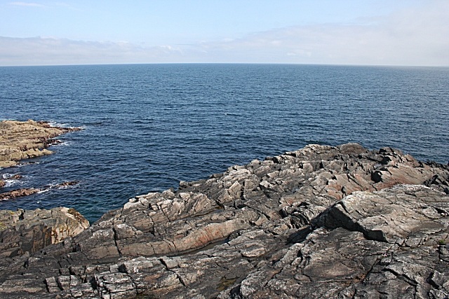
Àird Mhòr Bhràgair, located in Ross-shire, Scotland, is a prominent coastal feature that can be classified as both a headland and a point. It is situated on the eastern coast of Ross-shire, overlooking the North Sea. The name "Àird Mhòr Bhràgair" is derived from Scottish Gaelic, where "Àird Mhòr" translates to "big point" and "Bhràgair" refers to the location.
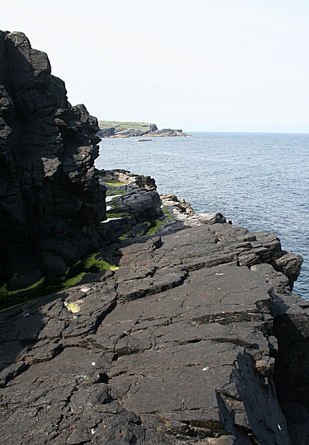
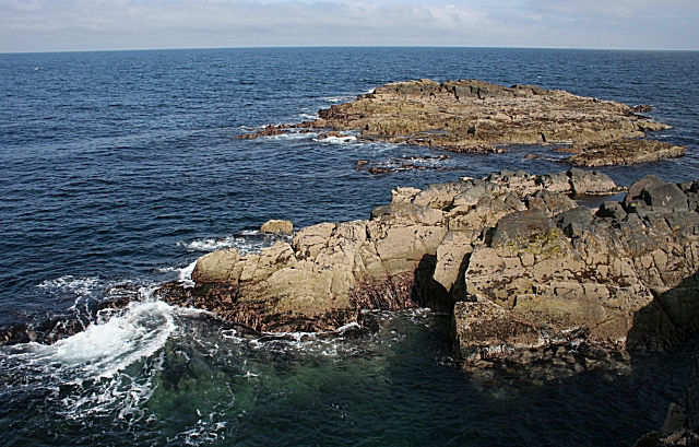
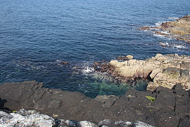
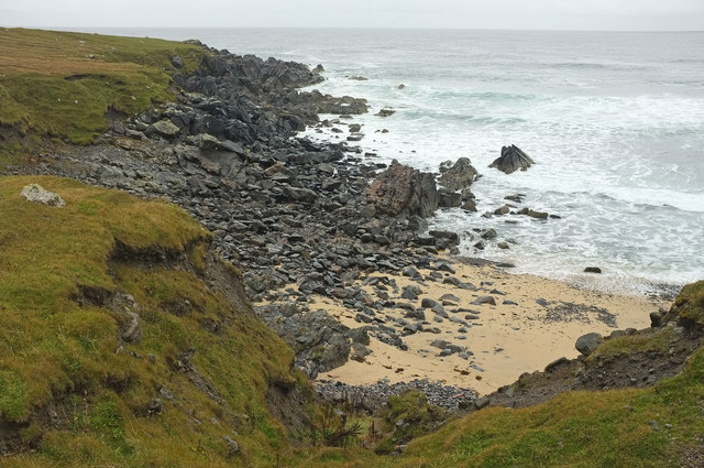
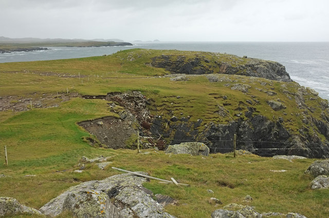
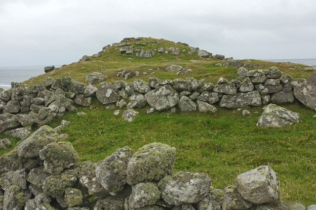
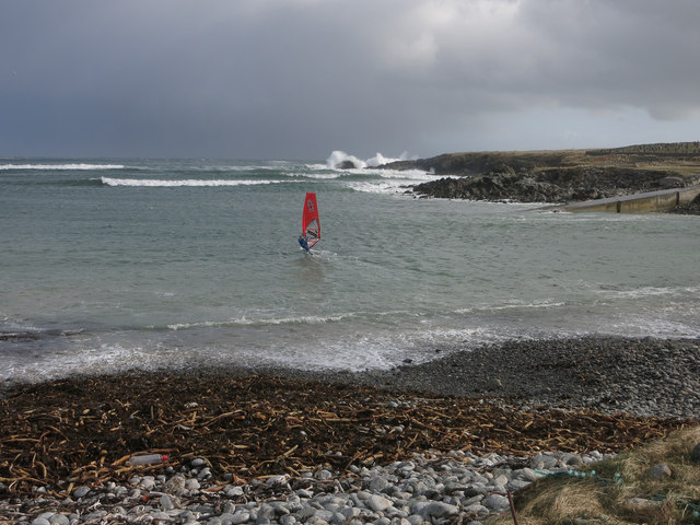
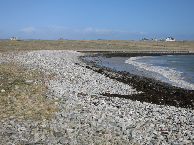
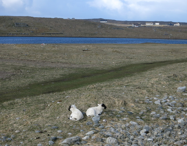
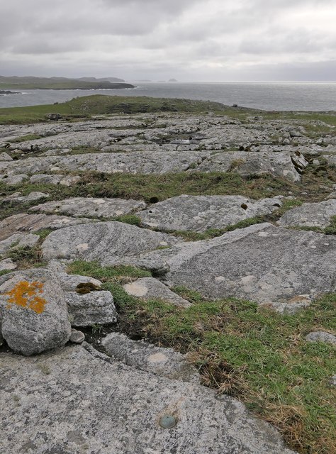
The headland is characterized by its rugged and rocky terrain, with steep cliffs that extend out into the sea. These cliffs provide stunning panoramic views of the surrounding coastline. The headland is also home to a diverse range of flora and fauna, including seabirds such as puffins and gannets, which nest in the crevices and ledges of the cliffs.
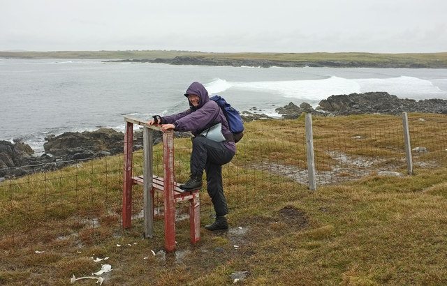
Àird Mhòr Bhràgair is a popular destination for nature enthusiasts and hikers, offering various walking trails that allow visitors to explore the natural beauty of the area. The headland provides a dramatic backdrop for photography enthusiasts, with its striking rock formations and crashing waves.
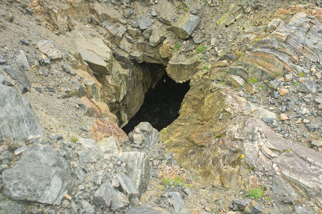
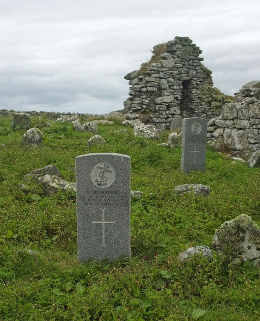
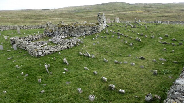
In addition to its natural beauty, Àird Mhòr Bhràgair holds historical significance as well. There are ancient ruins of a fort on the headland, dating back to the Iron Age. These archaeological remains provide insights into the early human settlements that thrived in the area.
Overall, Àird Mhòr Bhràgair is a captivating coastal feature, combining stunning natural landscapes, diverse wildlife, and a glimpse into the region's rich historical past.
If you have any feedback on the listing, please let us know in the comments section below.
Àird Mhòr Bhràgair Images
Images are sourced within 2km of 58.348939/-6.6646606 or Grid Reference NB2749. Thanks to Geograph Open Source API. All images are credited.
Àird Mhòr Bhràgair is located at Grid Ref: NB2749 (Lat: 58.348939, Lng: -6.6646606)
Unitary Authority: Na h-Eileanan an Iar
Police Authority: Highlands and Islands
What 3 Words
///decorate.firewall.coasting. Near Carloway, Na h-Eileanan Siar
Related Wikis

Bragar
Bragar (Scottish Gaelic: Bràgar, pronounced [braːgər]) is a village on the west side of the Isle of Lewis in the Outer Hebrides, Scotland, 14 miles (23...

Shawbost
Shawbost (Scottish Gaelic: Siabost) is a large village in the West Side of the Isle of Lewis. The village of Shawbost has a population of around 500 and...

Arnol
Arnol (Scottish Gaelic: Àrnol) is a small village typical of many settlements of the west coast of the Isle of Lewis, in the Outer Hebrides, Scotland....

Mullen Bridge
Mullen Bridge is an old bridge crossing the Royal Canal in Maynooth in County Kildare, Ireland. It was built between 1790 and 1800.The bridge used to carry...

Brue
Brue (Scottish Gaelic: Brù) is a village on the Isle of Lewis in the West Side district, in the Outer Hebrides, Scotland. It is a crofting township and...
Siadar Wave Power Station
The Siadar Wave Power Station (also known as Siadar Wave Energy Project or SWEP) was a proposed 4 MW wave farm 400 metres (1,300 ft) off the shore of Siadar...
West Side, Lewis
The West Side (Scottish Gaelic: An Taobh Siar) is the name used for the (predominantly Gaelic-speaking) settlements along the NW coast of the Isle of Lewis...

Barvas
Barvas (Scottish Gaelic: Barabhas or Barbhas, pronounced [baravəs]) is a settlement, community and civil parish on the Isle of Lewis in Scotland. It developed...
Nearby Amenities
Located within 500m of 58.348939,-6.6646606Have you been to Àird Mhòr Bhràgair?
Leave your review of Àird Mhòr Bhràgair below (or comments, questions and feedback).