Cator's Belt
Wood, Forest in Norfolk South Norfolk
England
Cator's Belt

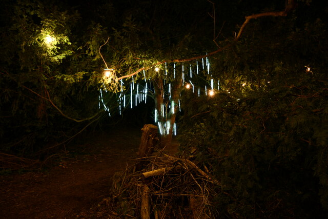
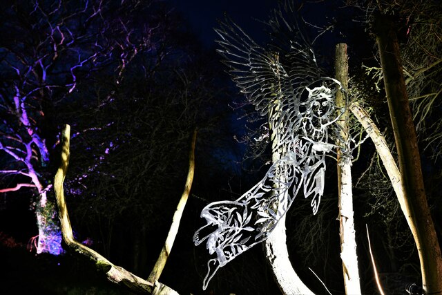
Cator's Belt is a picturesque woodland located in Norfolk, England. Situated near the village of Wood, this forested area is known for its natural beauty and rich biodiversity. The belt stretches over a vast area of approximately 200 acres, making it an ideal destination for outdoor enthusiasts and nature lovers.
The woodland is predominantly composed of native broadleaf trees, such as oak, beech, and birch, which create a dense canopy that provides a habitat for various species of flora and fauna. The forest floor is carpeted with an array of wildflowers, including bluebells, primroses, and wood anemones, creating a vibrant and colorful landscape during springtime.
Cator's Belt is crisscrossed by a network of well-maintained footpaths and trails, allowing visitors to explore the area at their own pace. These paths lead to hidden gems within the forest, such as secluded ponds and streams, providing opportunities for peaceful reflection and wildlife spotting.
The woodland is home to a diverse range of wildlife, including deer, foxes, badgers, and numerous bird species. Birdwatchers can spot woodpeckers, owls, and various songbirds in the treetops, while nature enthusiasts may be lucky enough to catch a glimpse of a rare butterfly or a red squirrel.
Cator's Belt is a popular destination for recreational activities like walking, jogging, and cycling. The tranquil ambiance and serene beauty of the forest make it an ideal location for those seeking a peaceful escape from the hustle and bustle of daily life.
In conclusion, Cator's Belt in Norfolk is a captivating woodland that offers a haven of tranquility and natural splendor. With its diverse wildlife, stunning flora, and well-maintained trails, this forested area provides a delightful experience for visitors of all ages.
If you have any feedback on the listing, please let us know in the comments section below.
Cator's Belt Images
Images are sourced within 2km of 52.487052/1.5488648 or Grid Reference TM4193. Thanks to Geograph Open Source API. All images are credited.


Cator's Belt is located at Grid Ref: TM4193 (Lat: 52.487052, Lng: 1.5488648)
Administrative County: Norfolk
District: South Norfolk
Police Authority: Norfolk
What 3 Words
///union.infringe.married. Near Beccles, Suffolk
Nearby Locations
Related Wikis

Haughey Air AgustaWestland AW139 crash
On 13 March 2014, an AgustaWestland AW139 helicopter of Haughey Air crashed shortly after taking off at night in fog from Gillingham, Norfolk, United Kingdom...
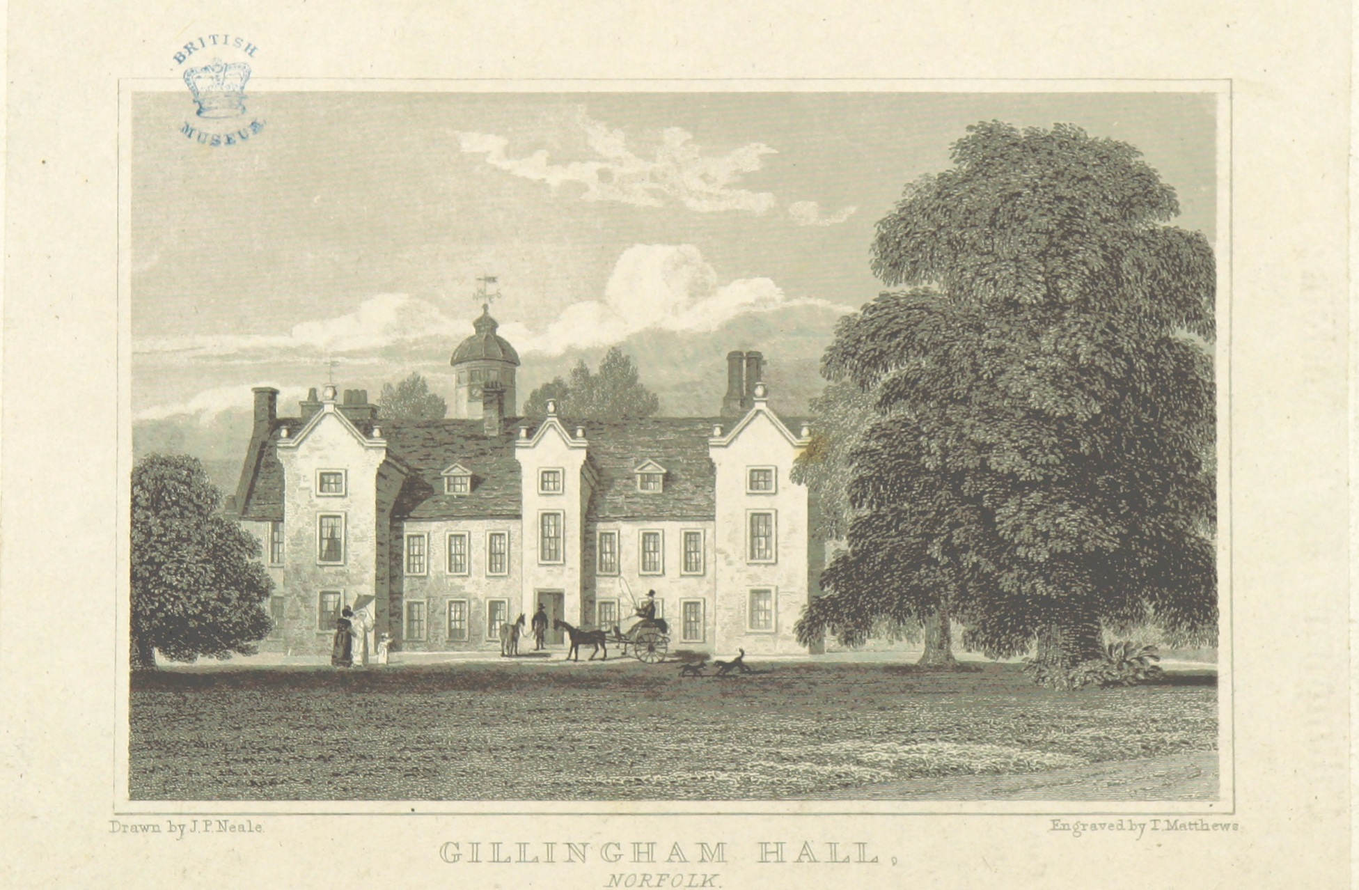
Gillingham Hall
Gillingham Hall is a Jacobean manor house in the village of Gillingham, Norfolk, England. It is a Grade II* Listed Building.The house has 10-bedrooms and...
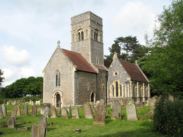
Gillingham, Norfolk
Gillingham ( GHIL-ing-əm) is a small village and civil parish in the English county of Norfolk. The villages is located 1.5 miles (2.4 km) north-west...

Toft Monks
Toft Monks is a village and parish in Norfolk, England. It is located on the border of Norfolk and Suffolk about eleven miles southwest of Great Yarmouth...
Nearby Amenities
Located within 500m of 52.487052,1.5488648Have you been to Cator's Belt?
Leave your review of Cator's Belt below (or comments, questions and feedback).