Coltford Grove

Wood, Forest in Suffolk East Suffolk

England

Coltford Grove

View towards Horseclose Belt Looking north along the tramlines in a field of winter wheat adjacent to Easton Lane.
View towards Horseclose Belt Credit: Simon Mortimer

Coltford Grove, located in Suffolk, is a picturesque woodland area known for its natural beauty and tranquility. Situated near the charming village of Coltford, the grove is a popular destination for nature enthusiasts and those seeking a peaceful escape from the hustle and bustle of everyday life.

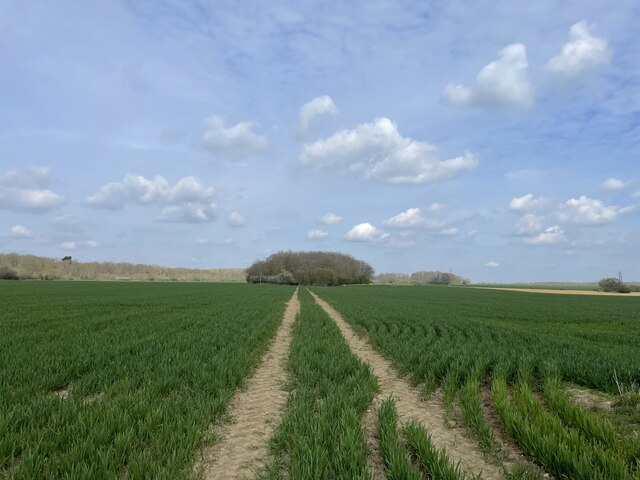
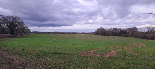
The grove is characterized by dense, lush forests consisting mainly of a variety of deciduous trees such as oak, beech, and birch. These trees provide a stunning display of colors during the autumn months, attracting visitors from far and wide. The woodland floor is covered in a blanket of vibrant wildflowers and ferns, adding to the area's natural charm.

Coltford Grove is home to a diverse range of wildlife, including deer, foxes, rabbits, and a variety of bird species. Birdwatchers flock to the grove to catch a glimpse of rare and migratory birds that make their home in the area.

There are several well-maintained trails and paths that wind through the grove, allowing visitors to explore the woodland at their own pace. These paths offer an excellent opportunity for hiking, cycling, or simply enjoying a leisurely stroll. The grove also features picnic areas and benches, providing the perfect spot for visitors to relax and take in the serenity of their surroundings.

Overall, Coltford Grove is a haven for nature lovers, offering a peaceful retreat in the heart of Suffolk. Its stunning woodlands, diverse wildlife, and tranquil atmosphere make it a must-visit destination for anyone seeking a connection with nature.

If you have any feedback on the listing, please let us know in the comments section below.

Coltford Grove Images

Images are sourced within 2km of 52.16926/1.3748472 or Grid Reference TM3057. Thanks to Geograph Open Source API. All images are credited.

View towards Horseclose Belt Looking north along the tramlines in a field of winter wheat adjacent to Easton Lane.
View towards Horseclose Belt
Looking north along the tramlines in a field of winter wheat adjacent to Easton Lane.
View up the Deben valley west of Wickham Market
Memorial to Private Thomas Foskett Walker Next to his parents grave is this memorial stone placed by his parents in their lifetime to their 30 year old son who went missing at Passchendaele on October 29th 1917. He was in the London Regiment (Artists' Rifles).
He is not named on the War Memorial in the church.
Memorial to Private Thomas Foskett Walker
Next to his parents grave is this memorial stone placed by his parents in their lifetime to their 30 year old son who went missing at Passchendaele on October 29th 1917. He was in the London Regiment (Artists' Rifles). He is not named on the War Memorial in the church.
Marlesford Ford This ford is found on Ford Road in Marlesford.
Marlesford Ford
This ford is found on Ford Road in Marlesford.
High Street, Wickham Market The buildings on the left date from C16 and C17.
High Street, Wickham Market
The buildings on the left date from C16 and C17.
Debden Mill The mill building dates from C19. See <span class="nowrap"><a title="http://www.britishlistedbuildings.co.uk/en-285220-wickham-mill-wickham-market-suffolk#.VpllJfmLTIU" rel="nofollow ugc noopener" href="http://www.britishlistedbuildings.co.uk/en-285220-wickham-mill-wickham-market-suffolk#.VpllJfmLTIU">Link</a><img style="margin-left:2px;" alt="External link" title="External link - shift click to open in new window" src="https://s1.geograph.org.uk/img/external.png" width="10" height="10"/></span> for entry in British Listed Buildings
Debden Mill
The mill building dates from C19. See LinkExternal link for entry in British Listed Buildings
Hacheston village sign
Cut Mark Wickham Market No.99 High Street Wickham Market No.99 High Street, Cut Mark W face, SW angle.
Cut Mark Wickham Market No.99 High Street
Wickham Market No.99 High Street, Cut Mark W face, SW angle.
Flush Bracket G 1575 Wickham Market Bridge Farm Flush Bracket number OSBM G 1575, NW angle of Barn.
Flush Bracket G 1575 Wickham Market Bridge Farm
Flush Bracket number OSBM G 1575, NW angle of Barn.
Wickham Market (Hacheston) Milestone MS located on High Street Lower road. Hacheston to London 82 Miles MS.
Wickham Market (Hacheston) Milestone
MS located on High Street Lower road. Hacheston to London 82 Miles MS.
Marlesford Mill
Marlesford Mill
The old railway station at Marlesford Thanks to Adrian Pye for identifying the building. <a title="https://www.geograph.org.uk/photo/4409748" href="https://www.geograph.org.uk/photo/4409748">Link</a>
The old railway station at Marlesford
Thanks to Adrian Pye for identifying the building. Link
The A12, Wickham Market
Old van outside Marlesford Mill I am guessing the van is from about the 1930s, meaning by law the number plate must be no more recent than that. This one is about 1989 for no known reason.
Old van outside Marlesford Mill
I am guessing the van is from about the 1930s, meaning by law the number plate must be no more recent than that. This one is about 1989 for no known reason.
Hacheston War Memorial Hacheston War Memorial bears the 21 names of the men who fell in The Great War.
Their names can be seen here: <span class="nowrap"><a title="http://media.geograph.org.uk/files/fe9fc289c3ff0af142b6d3bead98a923/HACHESTON_War_Memorial.pdf" rel="nofollow ugc noopener" href="http://media.geograph.org.uk/files/fe9fc289c3ff0af142b6d3bead98a923/HACHESTON_War_Memorial.pdf">Link</a><img style="margin-left:2px;" alt="External link" title="External link - shift click to open in new window" src="https://s1.geograph.org.uk/img/external.png" width="10" height="10"/></span>
There were no casualties recorded for WW2.
Hacheston War Memorial
Hacheston War Memorial bears the 21 names of the men who fell in The Great War. Their names can be seen here: LinkExternal link There were no casualties recorded for WW2.
Cut Mark Hacheston All Saints Church Cut Mark Hacheston All Saints Church W tower buttress, NW face.
Cut Mark Hacheston All Saints Church
Cut Mark Hacheston All Saints Church W tower buttress, NW face.
1GL Bolt Marlesford St Andrews Church 1GL Bolt Marlesford St Andrews Church SE angle of tower.
1GL Bolt Marlesford St Andrews Church
1GL Bolt Marlesford St Andrews Church SE angle of tower.
Show me another place!

Coltford Grove is located at Grid Ref: TM3057 (Lat: 52.16926, Lng: 1.3748472)

Administrative County: Suffolk

District: East Suffolk

Police Authority: Suffolk

What 3 Words

///laminate.amounting.saddens. Near Wickham Market, Suffolk

Related Wikis

Deben Mill

Deben Mill is a water mill on the River Deben located on the boundary between the civil parishes of Wickham Market and Hacheston, in Suffolk, England....
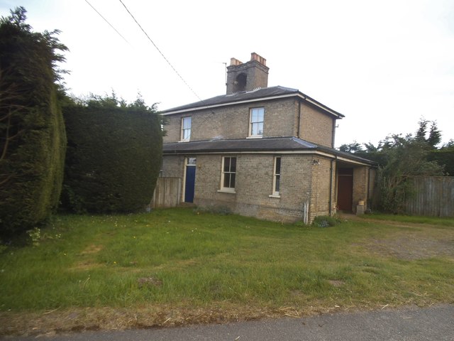
Hacheston

Hacheston is a village and a civil parish in the East Suffolk district, in the English county of Suffolk. The population of the parish at the 2011 census...

Hacheston Halt railway station

Hacheston Halt railway station was a station located in Hacheston, Suffolk situated on the Framlingham Branch.The branch was opened in 1859, but Hacheston...
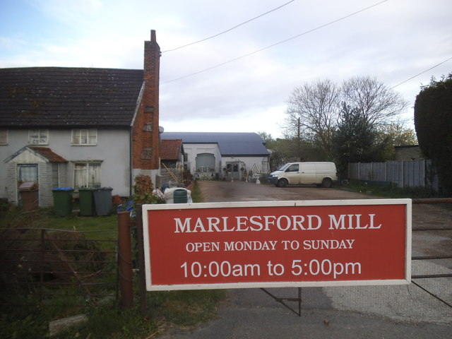
Marlesford

Marlesford is a village and civil parish in the East Suffolk district of Suffolk, England. The population of the civil parish at the 2011 Census was 233...

Have you been to Coltford Grove?

Leave your review of Coltford Grove below (or comments, questions and feedback).