Soles Coppice

Wood, Forest in Sussex Mid Sussex

England

Soles Coppice

Tanyard Lane, Staplefield A private road, but public footpath 6CR.
Tanyard Lane, Staplefield Credit: Robin Webster

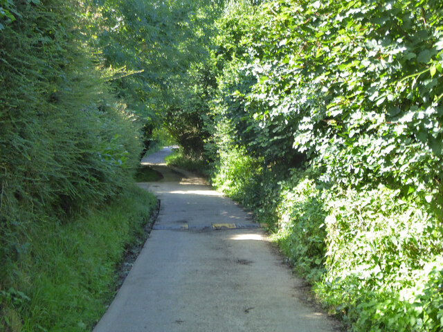
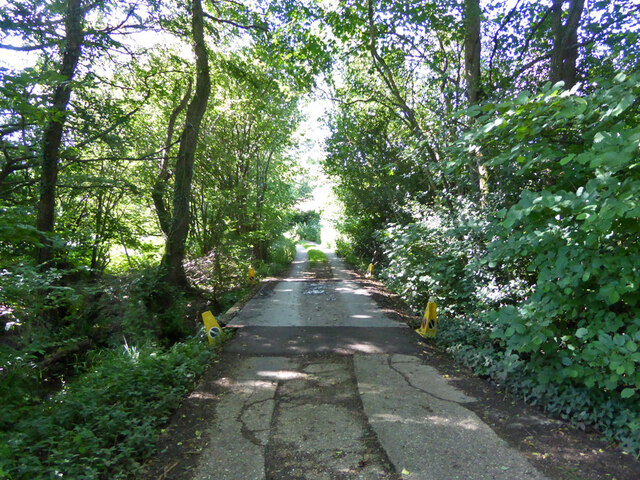
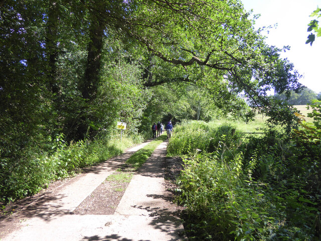
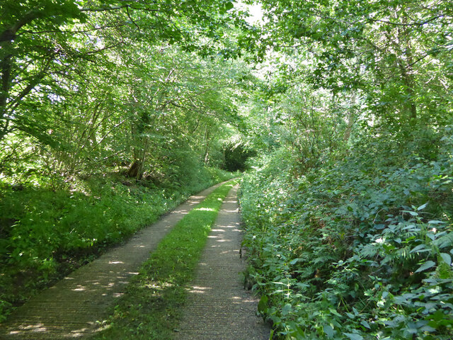
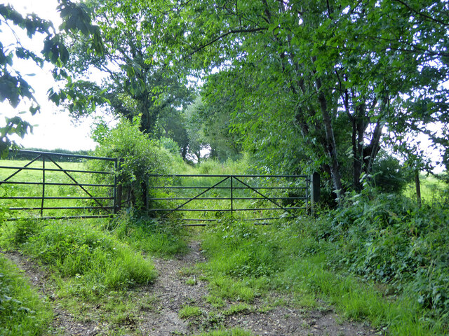
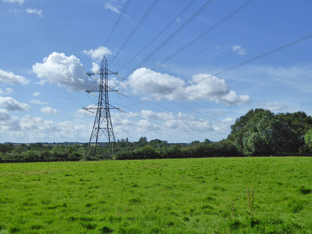
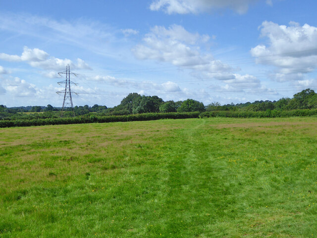
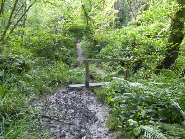
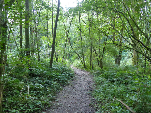
Soles Coppice is a picturesque woodland located in Sussex, England. Covering an area of approximately 50 acres, this ancient forest is a haven of natural beauty and tranquility. The wood is known for its diverse range of tree species, including oak, beech, ash, and hazel, which create a rich and vibrant canopy overhead.

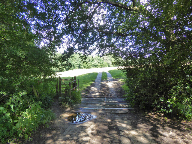
The forest floor of Soles Coppice is adorned with a variety of wildflowers, ferns, and mosses, adding to its enchanting atmosphere. The wood is also home to a plethora of wildlife, with many species of birds, mammals, and insects making their homes within its dense foliage.

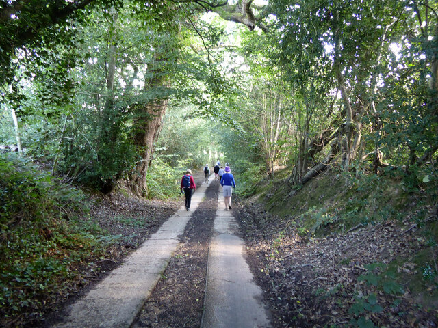
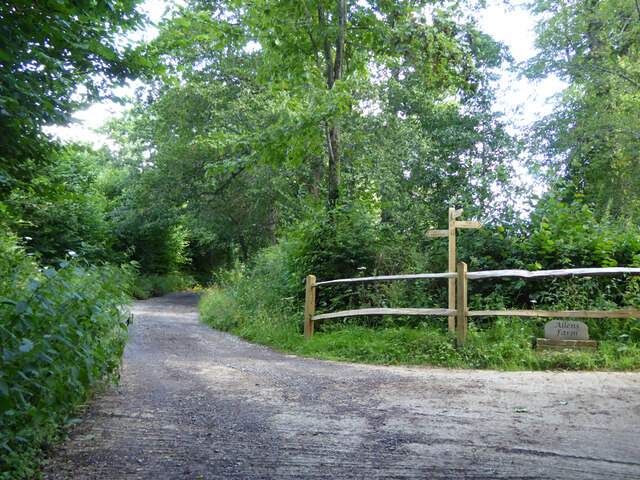
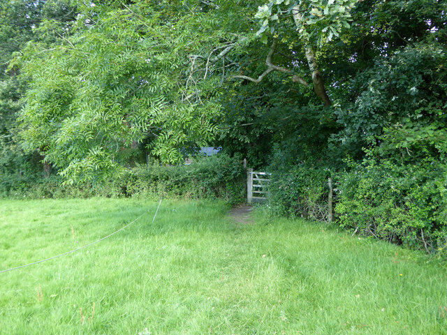
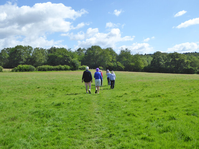
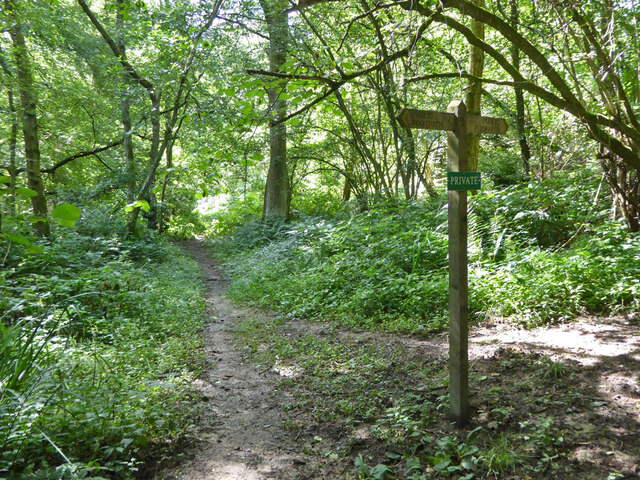
A network of well-maintained footpaths winds through the wood, allowing visitors to explore its hidden corners and discover its hidden treasures. These pathways lead to a beautiful clearing in the heart of the forest, where visitors can rest and immerse themselves in the serenity of nature.

Soles Coppice holds great historical significance, with evidence of human activity dating back thousands of years. Archaeological finds, such as ancient pottery and tools, have been discovered within the wood, providing glimpses into the lives of those who once inhabited the area.

Visiting Soles Coppice offers a unique opportunity to connect with nature and experience the beauty of a truly ancient woodland. Whether it be for a leisurely stroll, bird-watching, or simply finding solace in the peaceful surroundings, Soles Coppice is a must-visit destination for nature enthusiasts and history buffs alike.

If you have any feedback on the listing, please let us know in the comments section below.

Soles Coppice Images

Images are sourced within 2km of 51.048188/-0.16807342 or Grid Reference TQ2829. Thanks to Geograph Open Source API. All images are credited.

Tanyard Lane, Staplefield A private road, but public footpath 6CR.
Tanyard Lane, Staplefield
A private road, but public footpath 6CR.
Tanyard Cottages, Tanyard Lane, Staplefield
Tanyard Lane, Staplefield For the public, only a footpath - 6CR.
Tanyard Lane, Staplefield
For the public, only a footpath - 6CR.
Track and footpath branching off Tanyard Lane The track goes to Oldhouse, footpath 3CR to Handcross.
Track and footpath branching off Tanyard Lane
The track goes to Oldhouse, footpath 3CR to Handcross.
Tanyard Lane bridge over Foxhole Gill A bridge with no parapets, and a fair drop to the stream below.
Tanyard Lane bridge over Foxhole Gill
A bridge with no parapets, and a fair drop to the stream below.
Tanyard Lane towards Allens Farm The yellow sign warns of deep ditches to either side, which is true, in some places sheer off the concrete strips. This private farm access is also public footpath 4CR.
Tanyard Lane towards Allens Farm
The yellow sign warns of deep ditches to either side, which is true, in some places sheer off the concrete strips. This private farm access is also public footpath 4CR.
Tanyard Lane Private access to Allens and Dillion's Farms, it is also public footpath 4CR.
Tanyard Lane
Private access to Allens and Dillion's Farms, it is also public footpath 4CR.
Path and track junction near Allens Farm Straight on is private access to Dillion's Farm. Left is footpath 2CR to Handcross. Right is access to Allens Farm, shared part of the way with footpath 5CR which may be used as part of a route to Balcombe.
Path and track junction near Allens Farm
Straight on is private access to Dillion's Farm. Left is footpath 2CR to Handcross. Right is access to Allens Farm, shared part of the way with footpath 5CR which may be used as part of a route to Balcombe.
Short green lane near Allens Farm With no public status, and not much used anyway, this was the start of a route, mainly field edges, to Staplefield Upper Common. This has apparently withered away.
Short green lane near Allens Farm
With no public status, and not much used anyway, this was the start of a route, mainly field edges, to Staplefield Upper Common. This has apparently withered away.
Footpath 5CR near Allens Farm Through the gate the path drops down four or five steps to the farm approach track.
Footpath 5CR near Allens Farm
Through the gate the path drops down four or five steps to the farm approach track.
Barns at Allens Farm
Gate on footpath 5CR near Allens Farm
Power line near Allens Farm
Walkers on footpath 5CR Towards Ditton Place, Brantridge Lane and it is part of a route to Balcombe. The official route goes round the field edges on the left, but nobody seems to go that way with the field in permanent grass.
Walkers on footpath 5CR
Towards Ditton Place, Brantridge Lane and it is part of a route to Balcombe. The official route goes round the field edges on the left, but nobody seems to go that way with the field in permanent grass.
Footpath 5CR towards Staplefield or Handcross The official route goes round the field edges on the right, but nobody seems to go that way with the field in permanent grass.
Footpath 5CR towards Staplefield or Handcross
The official route goes round the field edges on the right, but nobody seems to go that way with the field in permanent grass.
Public and private paths In gill woodland, public footpath 5CR crosses the gill, the private path runs along the western shoulder. The quite significant gill has no mapped name.
Public and private paths
In gill woodland, public footpath 5CR crosses the gill, the private path runs along the western shoulder. The quite significant gill has no mapped name.
Gill footbridge, path 5CR By rights the mud should have dried up by late July, but there had been some very wet days.
Gill footbridge, path 5CR
By rights the mud should have dried up by late July, but there had been some very wet days.
Footpath 5CR in unnamed gill Running down to cross the stream to the right.
Footpath 5CR in unnamed gill
Running down to cross the stream to the right.
Show me another place!

Soles Coppice is located at Grid Ref: TQ2829 (Lat: 51.048188, Lng: -0.16807342)

Administrative County: West Sussex

District: Mid Sussex

Police Authority: Sussex

What 3 Words

///outgrown.showering.quench. Near Handcross, West Sussex

Related Wikis

Brantridge Park

Brantridge Park, Balcombe, West Sussex, England is a 19th-century country house, formerly one of the lesser royal residences. It is a Grade II listed building...

Tyes Place

Tyes Place is a listed historic manor house in Staplefield, West Sussex, England. It was once a farm, then in the first half of the 20th century it was...
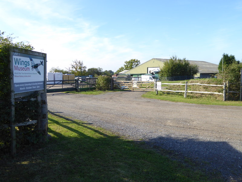
Wings Museum

The Wings Museum is an aviation museum located in Sussex, United Kingdom. It is housed in a 12,000 square feet (1,100 m2) hangar-like former farm building...

Staplefield

Staplefield is a village in the Mid Sussex District of West Sussex, England, situated 6 kilometres (3.7 mi) north-west of Haywards Heath on the B2114...

Cow Wood and Harry's Wood

Cow Wood and Harry's Wood is a 75.5-hectare (187-acre) biological Site of Special Scientific Interest east of Handcross in West Sussex. it is in the High...

Nymans

Nymans is an English garden to the east of the village of Handcross, and in the civil parish of Slaugham in West Sussex, England. The garden was developed...

Balcombe railway station

Balcombe railway station is on the Brighton Main Line in England, serving the village of Balcombe, West Sussex. It is 33 miles 64 chains (54.4 km) down...

Handcross Hill bus crash

On 12 July 1906, a bus crashed into a tree on Handcross Hill in Sussex, England, killing 10 people and injuring a further 26 in the worst road crash in...

Nearby Amenities

Located within 500m of 51.048188,-0.16807342
Power: tower
Lat/Long: 51.0471634/-0.1741307
Power: tower
Lat/Long: 51.050661/-0.1738093
Barrier: kissing_gate
Lat/Long: 51.0521657/-0.1714203
Barrier: kissing_gate
Lat/Long: 51.0523261/-0.169314
Barrier: stile
Lat/Long: 51.0488394/-0.1722959
Ditton Place
Place: hamlet
Postal Code: RH17 6JR
Lat/Long: 51.0524288/-0.1670855
Barrier: kissing_gate
Lat/Long: 51.048458/-0.1751218
The data included in this document is from www.openstreetmap.org. The data is made available under ODbL.

Have you been to Soles Coppice?

Leave your review of Soles Coppice below (or comments, questions and feedback).