Brown's Wood

Wood, Forest in Hertfordshire North Hertfordshire

England

Brown's Wood

Hitchwood Lane near Preston
Hitchwood Lane near Preston Credit: David Howard

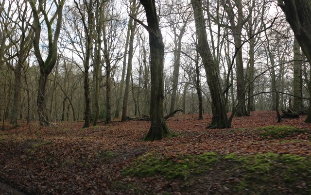
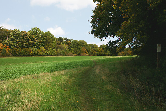
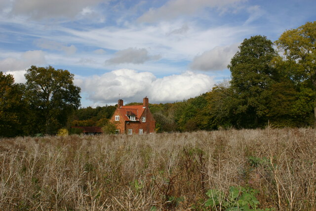
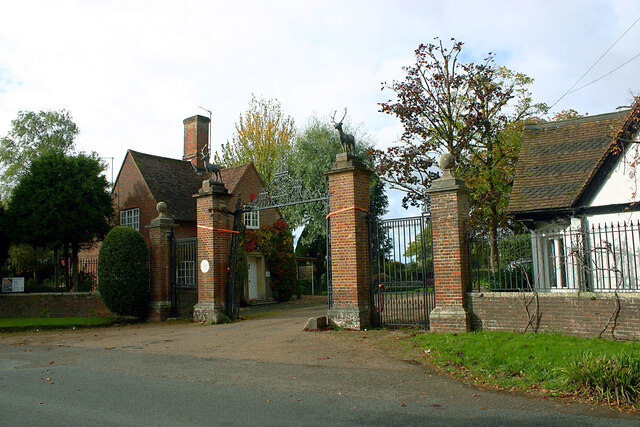
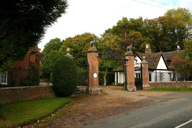
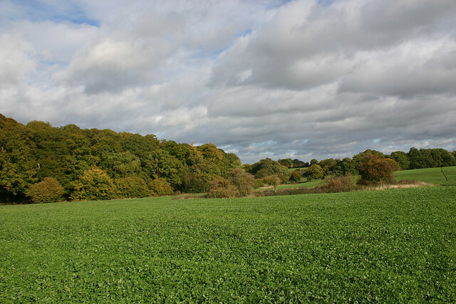
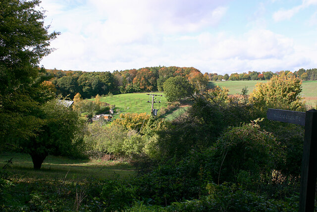
Brown's Wood is a picturesque woodland located in Hertfordshire, England. Spanning over 50 hectares, this ancient forest is known for its diverse flora and fauna, making it a popular destination for nature enthusiasts and hikers. The wood is situated near the village of Brown's End, and its proximity to urban areas such as Hemel Hempstead and St Albans makes it easily accessible.

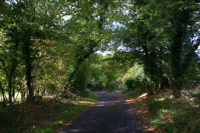
The woodland is characterized by a mix of deciduous and coniferous trees, creating a rich and varied habitat. Oak, beech, and birch trees dominate the landscape, providing a beautiful canopy of foliage during the spring and summer months. The forest floor is covered with a carpet of bluebells, wild garlic, and ferns, adding to its natural charm.

Brown's Wood is home to a wide range of wildlife species. Birdwatchers can spot various species of birds, including woodpeckers, thrushes, and owls. Deer, foxes, and badgers also inhabit the woodland, often seen during the early morning or late evening hours.

The wood offers several well-maintained walking trails, allowing visitors to explore its beauty at their own pace. These paths meander through the forest, leading to clearings and viewpoints, providing glimpses of the surrounding countryside. There are also picnic areas and benches strategically placed throughout the wood, inviting visitors to relax and enjoy the tranquil atmosphere.

Managed by the local council, Brown's Wood is a cherished natural resource and an important part of the Hertfordshire landscape. Its accessibility, diverse ecosystem, and stunning scenery make it an ideal destination for nature lovers and those seeking a peaceful retreat from the hustle and bustle of everyday life.

If you have any feedback on the listing, please let us know in the comments section below.
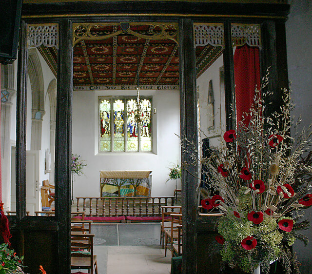
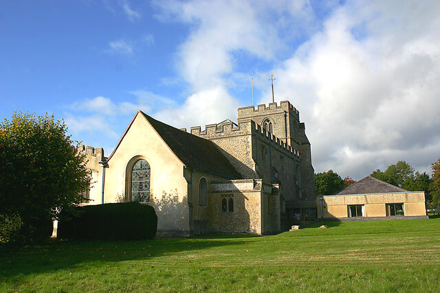
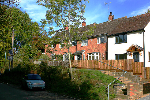
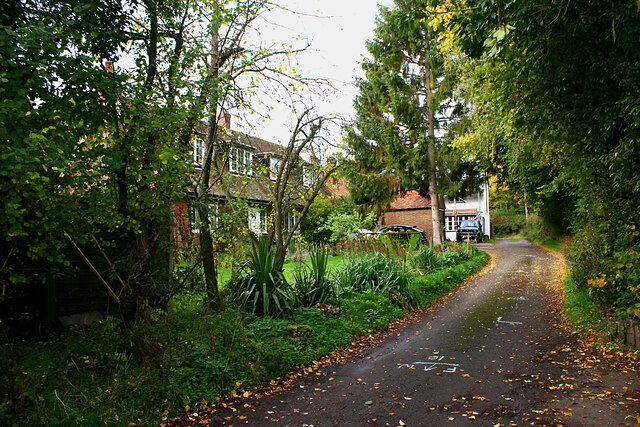
Brown's Wood Images

Images are sourced within 2km of 51.888303/-0.25171647 or Grid Reference TL2022. Thanks to Geograph Open Source API. All images are credited.

Hitchwood Lane near Preston
Hitch Wood
Hitch Wood
Whitwell Road near St Paul's Walden
Field entrance on Bullock's Hill, St Paul's Walden
Bullock's Hill, St Paul's Walden
Farmland between woods near Preston (Herts) The Firs is left and Pinfold Wood right.
Farmland between woods near Preston (Herts)
The Firs is left and Pinfold Wood right.
Pinfold Cottage, Stagenhoe Park, St Paul's Walden Not much has changed here since <a href="https://www.geograph.org.uk/photo/518926">TL1823 : Cottage between Pinfold Wood and Foxholes Wood</a> was taken and the same observations still apply.
Pinfold Cottage, Stagenhoe Park, St Paul's Walden
Not much has changed here since TL1823 : Cottage between Pinfold Wood and Foxholes Wood was taken and the same observations still apply.
The Dower House, Stagenhoe Park, St Paul's Walden Referred to in the list of Listed Buildings as "Pair of gardeners houses, now one house. Mid C19. Red brick with black brick diapering and patterns, castellated Neo-Tudor style with stucco dressings".
The Dower House, Stagenhoe Park, St Paul's Walden
Referred to in the list of Listed Buildings as "Pair of gardeners houses, now one house. Mid C19. Red brick with black brick diapering and patterns, castellated Neo-Tudor style with stucco dressings".
All Saints, St Paul's Walden - north elevation Most of the church is C14 but the chancel (left) is C18 and the Church Rooms (right) date from 1973-74.
All Saints, St Paul's Walden - north elevation
Most of the church is C14 but the chancel (left) is C18 and the Church Rooms (right) date from 1973-74.
All Saints, St Paul's Walden - side chapel The chapel is faced by screen of Perpendicular age.
All Saints, St Paul's Walden - side chapel
The chapel is faced by screen of Perpendicular age.
All Saints, St Paul's Walden - north-east elevation Most of the church is C14 but the chancel (centre) is C18 and the adjoining Church Rooms (right) date from 1973-74.
All Saints, St Paul's Walden - north-east elevation
Most of the church is C14 but the chancel (centre) is C18 and the adjoining Church Rooms (right) date from 1973-74.
Terraced houses, Whitwell Road, St Paul's Walden
Whitehouse Lane, St Paul's Walden
Lodges at entrance to Stagenhoe, St Paul's Walden This is the Whitwell Road entrance to Stagenhoe, now a Sue Ryder care home. The two lodges are New Lodge (left) and Hitchwood Lodge (right).
Lodges at entrance to Stagenhoe, St Paul's Walden
This is the Whitwell Road entrance to Stagenhoe, now a Sue Ryder care home. The two lodges are New Lodge (left) and Hitchwood Lodge (right).
Langley Lane, Langley (Herts) Looking in the direction of the B651.
Langley Lane, Langley (Herts)
Looking in the direction of the B651.
Farmland adjacent to Hitch Wood, Langley (Herts) Taken from the footpath from the B651 (left but hidden) to Langley End.
Farmland adjacent to Hitch Wood, Langley (Herts)
Taken from the footpath from the B651 (left but hidden) to Langley End.
Sign to Hill End Chalk Pit, Langley (Herts) The former chalk pit is now a nature reserve. The site once had SSSI status on account of the fossiliferous content of the Chalk but is now overgrown.
Sign to Hill End Chalk Pit, Langley (Herts)
The former chalk pit is now a nature reserve. The site once had SSSI status on account of the fossiliferous content of the Chalk but is now overgrown.
Show me another place!

Brown's Wood is located at Grid Ref: TL2022 (Lat: 51.888303, Lng: -0.25171647)

Administrative County: Hertfordshire

District: North Hertfordshire

Police Authority: Hertfordshire

What 3 Words

///handy.award.deed. Near Stevenage, Hertfordshire

Related Wikis

St Paul's Walden

St Paul's Walden is a village about 5 miles (8 km) south of Hitchin in Hertfordshire, England. The civil parish of St Paul's Walden also includes the village...

Langley, Hertfordshire

Langley is a hamlet and civil parish in the non-metropolitan district of North Hertfordshire and county of Hertfordshire. The population was 175 in the...

Hill End Pit

Hill End Pit (also called Hill End Farm Pit or Hitch Wood Pit) is a 0.7-hectare (1.7-acre) nature reserve on the site of a former chalk pit, in St Paul...

St Paul's Walden Bury

St. Paul's Walden Bury is an English country house and surrounding gardens in the village of St Paul's Walden in Hertfordshire. The house is a Grade II...

Stagenhoe

Stagenhoe is a Grade II listed stately home and surrounding gardens located in the village of St Paul's Walden in Hertfordshire. It is approximately 6...

Minsden Chapel

Minsden Chapel is an isolated ruined chapel in the fields above the hamlet of Chapelfoot, near Preston, Hertfordshire. Today it is a roofless shell, partly...

Knebworth Woods

Knebworth Woods is a 120.8-hectare (299-acre) biological Site of Special Scientific Interest in Knebworth, immediately south of Stevenage in Hertfordshire...

Whitwell, Hertfordshire

Whitwell is a village in the parish of St Paul's Walden about six miles south of Hitchin in Hertfordshire, England. Situated on a tableland, a spur of...

Nearby Amenities

Located within 500m of 51.888303,-0.25171647
Barrier: kissing_gate
Source: GPS, observation
Lat/Long: 51.8888535/-0.2560418
Power: pole
Lat/Long: 51.8847109/-0.2541628
Power: pole
Source: Bing
Lat/Long: 51.8855287/-0.2545825
Power: pole
Source: Bing
Lat/Long: 51.8879189/-0.2560316
Power: pole
Source: Bing
Lat/Long: 51.8871304/-0.2555381
Power: pole
Source: Bing
Lat/Long: 51.886359/-0.25507
Material: wood
Power: pole
Source: Bing
Lat/Long: 51.8881701/-0.256843
Material: wood
Power: pole
Source: Bing
Lat/Long: 51.8886253/-0.2583115
Power: pole
Lat/Long: 51.8918305/-0.2474477
The data included in this document is from www.openstreetmap.org. The data is made available under ODbL.

Have you been to Brown's Wood?

Leave your review of Brown's Wood below (or comments, questions and feedback).