South Copse

Wood, Forest in Sussex Horsham

England

South Copse

Wappingthorn Farm With its impressive barns and towers the farm is unmissable, close to the centre of the square.
Wappingthorn Farm Credit: Chris Shaw

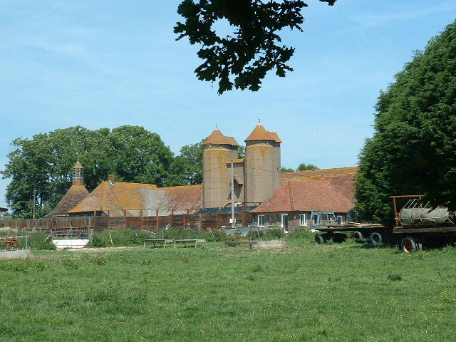
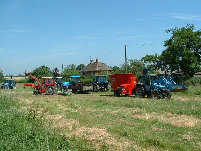
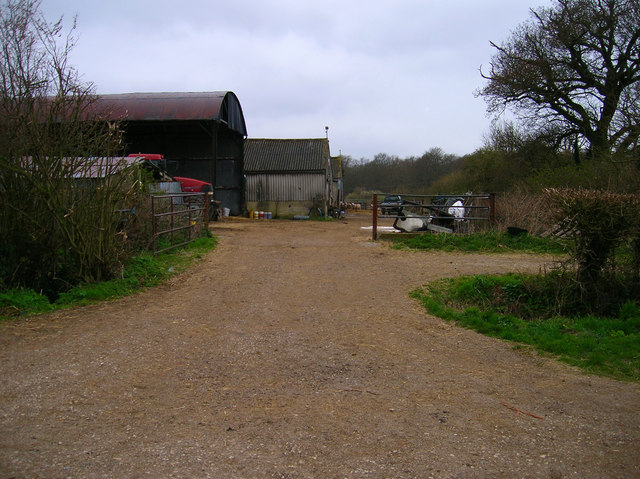
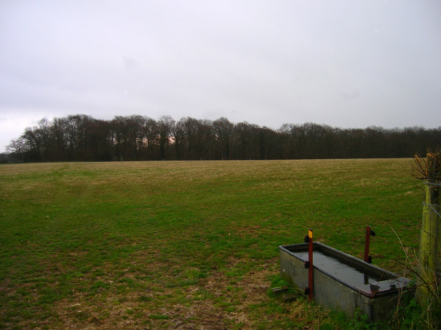
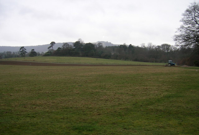
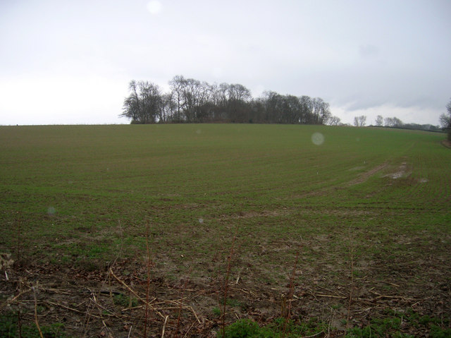
South Copse is a picturesque woodland located in Sussex, England. Situated amidst the rolling hills and lush greenery, it covers a vast area and serves as a haven for nature enthusiasts and outdoor adventurers. The copse is predominantly composed of dense deciduous trees, creating a vibrant tapestry of colors during the changing seasons.

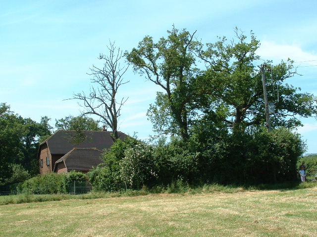
The woodland is a natural habitat for an array of wildlife, including deer, rabbits, and various bird species. It offers a serene environment, providing a tranquil escape from the hustle and bustle of city life. The air is filled with the sweet scent of wildflowers and the soothing melody of chirping birds.

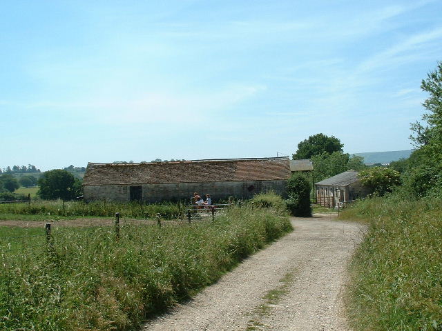
South Copse features numerous well-maintained walking trails, allowing visitors to explore its beauty at their own pace. The paths wind through the thick foliage, offering glimpses of stunning vistas and secluded clearings. Along the way, there are strategically placed benches and picnic areas, providing a perfect spot to rest and take in the surrounding natural splendor.

The copse is also a popular spot for recreational activities such as bird watching, photography, and nature study. Its diverse ecosystem provides a rich learning experience for those interested in the flora and fauna of the region. Additionally, the woodland serves as an important educational resource for schools and nature conservation organizations.

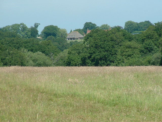
Overall, South Copse is a captivating woodland that showcases the breathtaking beauty of the Sussex countryside. Its unspoiled charm, combined with a range of recreational opportunities, makes it a must-visit destination for nature lovers and anyone seeking a peaceful retreat in the heart of nature.

If you have any feedback on the listing, please let us know in the comments section below.
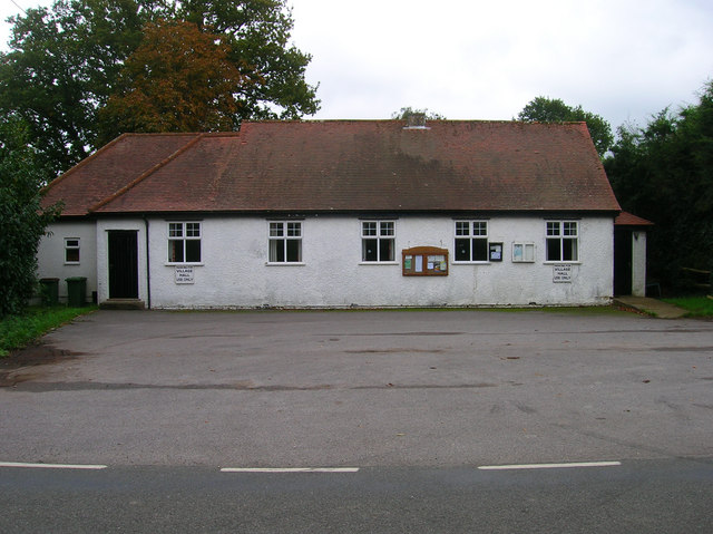
South Copse Images

Images are sourced within 2km of 50.922785/-0.34243647 or Grid Reference TQ1615. Thanks to Geograph Open Source API. All images are credited.

Wappingthorn Farm With its impressive barns and towers the farm is unmissable, close to the centre of the square.
Wappingthorn Farm
With its impressive barns and towers the farm is unmissable, close to the centre of the square.
Nutwood House and meadows Towards E of square where footpath crosses fields to reach road.
Nutwood House and meadows
Towards E of square where footpath crosses fields to reach road.
Sweethill Farm and pastures Taken from South looking right across the gridsquare towards the farm.
Sweethill Farm and pastures
Taken from South looking right across the gridsquare towards the farm.
Northover Stables Sheds and stables near Northover farm, close to the middle of this gridsquare.
Northover Stables
Sheds and stables near Northover farm, close to the middle of this gridsquare.
Tractor Jam Nice collection of tractors outside New Wharf farm at Horsebridge Common on the West side of the square.
Tractor Jam
Nice collection of tractors outside New Wharf farm at Horsebridge Common on the West side of the square.
Outbuildings, Honeybridge Farm Known as Starkers Farm on the 1940s map. Taken from the footpath that links Daylands Farm with Kings Barn Farm.
Outbuildings, Honeybridge Farm
Known as Starkers Farm on the 1940s map. Taken from the footpath that links Daylands Farm with Kings Barn Farm.
Field, Jessops Farm Taken from the footpath that goes through the farm.
Field, Jessops Farm
Taken from the footpath that goes through the farm.
Footpath, Jack O'Lantern Wood This is one of the better ones too!
Footpath, Jack O'Lantern Wood
This is one of the better ones too!
The route to Hawking Sopers Common Copse is to the right and those rainclouds were heading my way.
The route to Hawking Sopers
Common Copse is to the right and those rainclouds were heading my way.
Dying Deer, near Jessops Farm On the footpath that heads south from the farm. Both back legs seemed to be gone. Not much I could do I'm afraid.
Dying Deer, near Jessops Farm
On the footpath that heads south from the farm. Both back legs seemed to be gone. Not much I could do I'm afraid.
Small Hill near Furzfield Cottage Taken from Spithandle Lane path. The peak should have had Upper Barn on it but this did not appear to be either there or visible.
Small Hill near Furzfield Cottage
Taken from Spithandle Lane path. The peak should have had Upper Barn on it but this did not appear to be either there or visible.
Colour amid the gloom, Spithandle Copse Amongst the churned up mudbath that was Spithandle Lane was the odd bloom of spring flowers and shoots which make a lovely contrast to the murky browns elsewhere
Colour amid the gloom, Spithandle Copse
Amongst the churned up mudbath that was Spithandle Lane was the odd bloom of spring flowers and shoots which make a lovely contrast to the murky browns elsewhere
Spithandle Lane Spithandle Copse to the right, Spithandle Rough to the left. The road at the bottom left heads to College Wood Farm. The lane itself links Wiston to Horsebridge Common.
Spithandle Lane
Spithandle Copse to the right, Spithandle Rough to the left. The road at the bottom left heads to College Wood Farm. The lane itself links Wiston to Horsebridge Common.
Outbuildings, Guessgate Farm Taken from the footpath that links Spithandle Lane to the A283.
Outbuildings, Guessgate Farm
Taken from the footpath that links Spithandle Lane to the A283.
Loves Rough Taken from the footpath linking Spithandle Lane with the A283.
Loves Rough
Taken from the footpath linking Spithandle Lane with the A283.
Farmland near The Falconers Taken from the footpath that links Spithandle Lane with the A283. Chanctonbury Ring is in the middle distance.
Farmland near The Falconers
Taken from the footpath that links Spithandle Lane with the A283. Chanctonbury Ring is in the middle distance.
Cherrytree Rough Taken in the pouring rain from the footpath that heads towards Wappingthorn.
Cherrytree Rough
Taken in the pouring rain from the footpath that heads towards Wappingthorn.
Ashurst Village Hall On the B2135 near the south west corner of the grid square.
Ashurst Village Hall
On the B2135 near the south west corner of the grid square.
Show me another place!

South Copse is located at Grid Ref: TQ1615 (Lat: 50.922785, Lng: -0.34243647)

Administrative County: West Sussex

District: Horsham

Police Authority: Sussex

What 3 Words

///stowing.shovels.penny. Near Ashurst, West Sussex

Related Wikis

St James's Church, Ashurst

St James's Church is a Church of England parish church in Ashurst, West Sussex. The church is a grade I listed building and it dates from the early 12th...

Ashurst, West Sussex

Ashurst is a village and civil parish in the Horsham District of West Sussex, England, about 2 miles (3.2 km) west of Henfield, and 11 miles (18 km) south...

Fountain Inn, Ashurst

The Fountain Inn is a 16th-century public house in the village of Ashurst, in the Horsham district of West Sussex, England. After a period as a farmhouse...

South Downs National Park

The South Downs National Park is England's newest national park, designated on 31 March 2010. The park, covering an area of 1,627 square kilometres (628...

Nearby Amenities

Located within 500m of 50.922785,-0.34243647
Power: pole
Lat/Long: 50.9190027/-0.3455739
Power: pole
Lat/Long: 50.9189163/-0.3456027
Power: pole
Lat/Long: 50.9189543/-0.3443506
Power: pole
Lat/Long: 50.9190129/-0.3429491
Power: pole
Lat/Long: 50.9190556/-0.3414709
Power: pole
Lat/Long: 50.9187698/-0.3402364
Power: pole
Lat/Long: 50.9202091/-0.3432153
Power: pole
Lat/Long: 50.9199574/-0.342173
Power: pole
Lat/Long: 50.919761/-0.3414094
Power: pole
Lat/Long: 50.9200397/-0.3384582
Power: pole
Lat/Long: 50.919693/-0.3390434
Power: pole
Lat/Long: 50.9192369/-0.3398245
Power: pole
Lat/Long: 50.9190374/-0.344323
Power: pole
Lat/Long: 50.9191308/-0.341432
Power: pole
Lat/Long: 50.9188474/-0.3402138
The data included in this document is from www.openstreetmap.org. The data is made available under ODbL.

Have you been to South Copse?

Leave your review of South Copse below (or comments, questions and feedback).