Britt's Wood

Wood, Forest in Surrey Mole Valley

England

Britt's Wood

Tankards Pond Partly overgrown pond alongside Wolvens Lane, a byway between Coldharbour and Wotton.
Tankards Pond Credit: Ian Capper

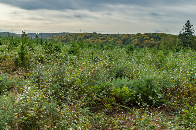
Britt's Wood is a picturesque woodland located in Surrey, England. Situated in the southern part of the county, it forms part of the larger Surrey Hills Area of Outstanding Natural Beauty. This enchanting forest covers an area of approximately 50 hectares, providing a tranquil haven for nature enthusiasts and outdoor enthusiasts alike.

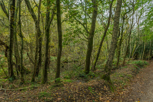
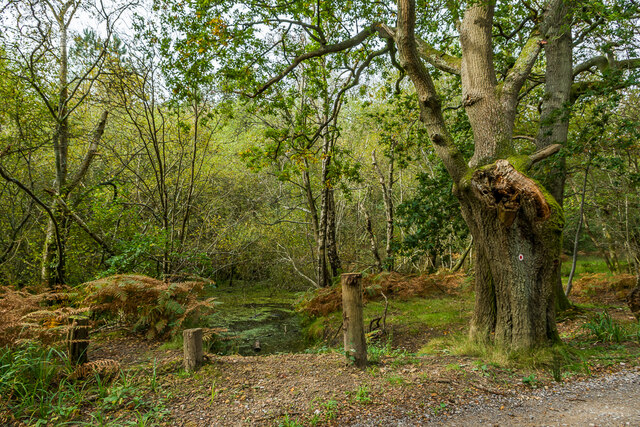
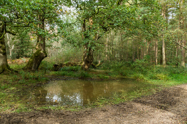
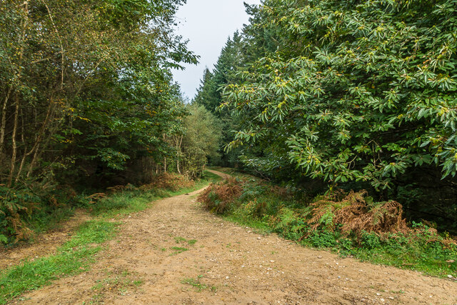
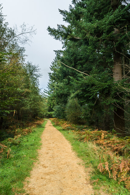
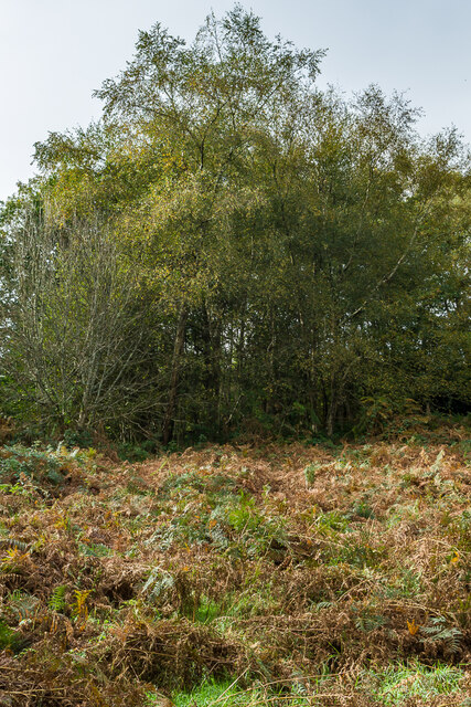
Characterized by its dense oak and beech trees, Britt's Wood offers a diverse range of flora and fauna. The forest floor is adorned with a carpet of bluebells during springtime, creating a breathtaking sight for visitors. The woodland is also home to a variety of wildlife, including deer, foxes, and a plethora of bird species.

Access to Britt's Wood is facilitated by a network of well-maintained footpaths and trails, making it ideal for leisurely walks and hiking. The paths wind through the forest, offering stunning views of the surrounding countryside and the opportunity to explore the wood's hidden gems, such as a charming babbling brook and a small pond.

The wood is a popular destination for families, who often visit to enjoy picnics or engage in outdoor activities such as den-building and birdwatching. It also attracts wildlife enthusiasts and photographers due to its rich biodiversity and natural beauty.

Overall, Britt's Wood, Surrey is a captivating woodland that offers a peaceful retreat from the hustle and bustle of everyday life. With its stunning scenery, diverse wildlife, and accessible trails, it is a must-visit destination for nature lovers and those seeking a slice of tranquility in the heart of Surrey.

If you have any feedback on the listing, please let us know in the comments section below.
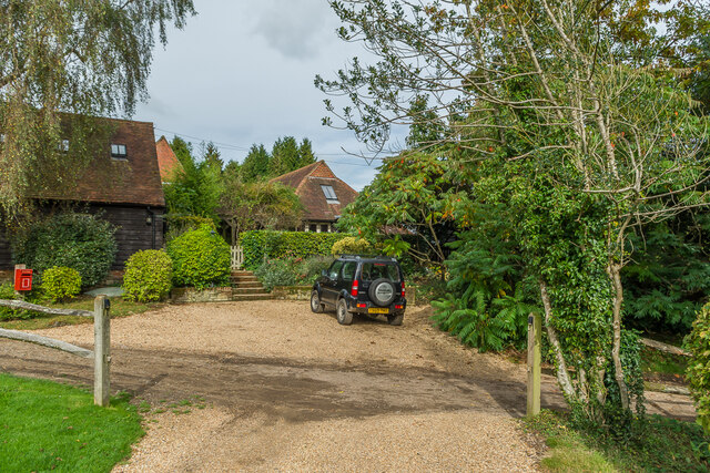
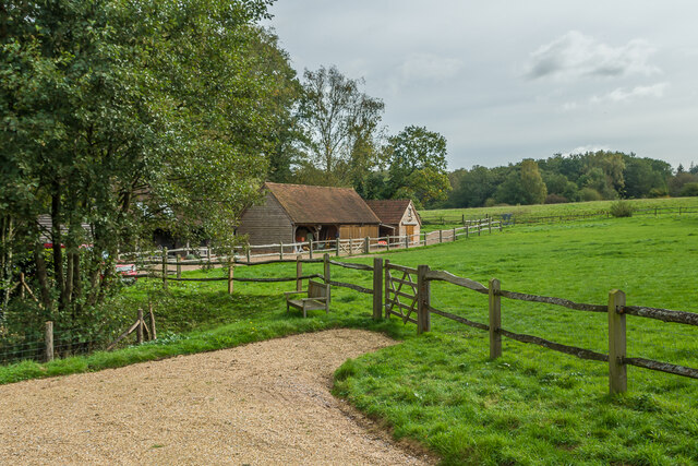
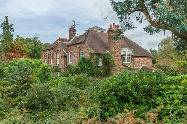
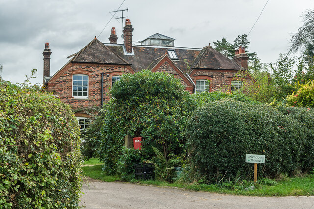
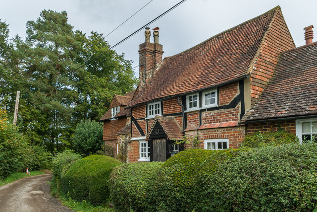
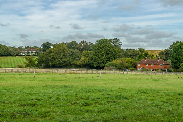
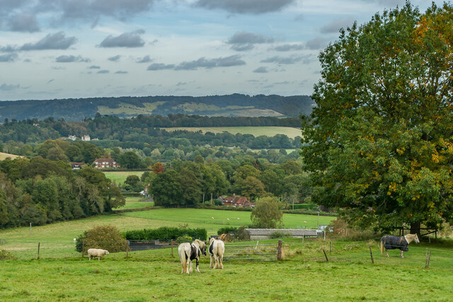
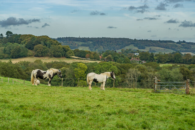
Britt's Wood Images

Images are sourced within 2km of 51.212752/-0.37056044 or Grid Reference TQ1347. Thanks to Geograph Open Source API. All images are credited.

Tankards Pond Partly overgrown pond alongside Wolvens Lane, a byway between Coldharbour and Wotton.
Tankards Pond
Partly overgrown pond alongside Wolvens Lane, a byway between Coldharbour and Wotton.
Tankards Pond Partly overgrown pond alongside Wolvens Lane, a byway between Coldharbour and Wotton.
Tankards Pond
Partly overgrown pond alongside Wolvens Lane, a byway between Coldharbour and Wotton.
Pond A small pond just north of the larger Tankards Pond, alongside Wolvens Lane, a byway between Coldharbour and Wotton.
Pond
A small pond just north of the larger Tankards Pond, alongside Wolvens Lane, a byway between Coldharbour and Wotton.
Replanted woodland Replanted woodland off Wolvens Lane, a byway between Coldharbour and Wotton.  In the left distance can be seen the tower on the summit of Leith Hill.
Replanted woodland
Replanted woodland off Wolvens Lane, a byway between Coldharbour and Wotton. In the left distance can be seen the tower on the summit of Leith Hill.
Squire's Great Wood Path through Squire's Great Wood.
Squire's Great Wood
Path through Squire's Great Wood.
Squire's Great Wood Path through Squire's Great Wood.
Squire's Great Wood
Path through Squire's Great Wood.
Bracken slope A bracken covered slope near Logmore Farm.
Bracken slope
A bracken covered slope near Logmore Farm.
Logmore Farm Track outside Logmore Farm.
Logmore Farm
Track outside Logmore Farm.
Logmore Farm Farm near Logmore Green.
Logmore Farm
Farm near Logmore Green.
Logmore Farm Paddocks at Logmore Farm near Logmore Green.
Logmore Farm
Paddocks at Logmore Farm near Logmore Green.
Meadow House and April Cottage Pair of semi-detached cottages on Logmore Lane.
Meadow House and April Cottage
Pair of semi-detached cottages on Logmore Lane.
Meadow House and April Cottage Pair of semi-detached cottages on Logmore Lane.
Meadow House and April Cottage
Pair of semi-detached cottages on Logmore Lane.
Old Cottage Cottage on Logmore Lane dating from the 17th Century with 19th and 20th Century extensions.  Grade II listed  - see <span class="nowrap"><a title="www.historicengland.org.uk/listing/the-list/list-entry/1391462" rel="nofollow ugc noopener" href="http://www.historicengland.org.uk/listing/the-list/list-entry/1391462">Link</a><img style="margin-left:2px;" alt="External link" title="External link - shift click to open in new window" src="https://s1.geograph.org.uk/img/external.png" width="10" height="10"/></span>.
Old Cottage
Cottage on Logmore Lane dating from the 17th Century with 19th and 20th Century extensions. Grade II listed - see LinkExternal link.
Logmore Place and 3 & 4 Brook Cottages Looking across paddocks from Logmore Green towards 3 & 4 Brook Cottages on the right and Logmore Place in the left distance.
Logmore Place and 3 & 4 Brook Cottages
Looking across paddocks from Logmore Green towards 3 & 4 Brook Cottages on the right and Logmore Place in the left distance.
Above Logmore Farm Looking across paddocks near Logmore Farm with Old Cottage in Logmore Green right of centre, Logmore Green Cottages beyond on the left and Box Hill in the background.
Above Logmore Farm
Looking across paddocks near Logmore Farm with Old Cottage in Logmore Green right of centre, Logmore Green Cottages beyond on the left and Box Hill in the background.
Above Logmore Farm Looking across paddocks near Logmore Farm with Ranmore on the North Downs in the background.
Above Logmore Farm
Looking across paddocks near Logmore Farm with Ranmore on the North Downs in the background.
Above Logmore Farm Looking across paddocks near Logmore Farm with Box Hill in the distance.
Above Logmore Farm
Looking across paddocks near Logmore Farm with Box Hill in the distance.
Logmore Farm Looking across paddocks to Logmore Farm.  In the distance are the North Downs from Box Hill on the left to Colley Hill on the right in the distance.  Logmore Farm dates originally from the 16th Century with subsequent refronting and extensions.  Grade II listed - see <span class="nowrap"><a title="www.historicengland.org.uk/listing/the-list/list-entry/1391056" rel="nofollow ugc noopener" href="http://www.historicengland.org.uk/listing/the-list/list-entry/1391056">Link</a><img style="margin-left:2px;" alt="External link" title="External link - shift click to open in new window" src="https://s1.geograph.org.uk/img/external.png" width="10" height="10"/></span>.
Logmore Farm
Looking across paddocks to Logmore Farm. In the distance are the North Downs from Box Hill on the left to Colley Hill on the right in the distance. Logmore Farm dates originally from the 16th Century with subsequent refronting and extensions. Grade II listed - see LinkExternal link.
Show me another place!

Britt's Wood is located at Grid Ref: TQ1347 (Lat: 51.212752, Lng: -0.37056044)

Administrative County: Surrey

District: Mole Valley

Police Authority: Surrey

What 3 Words

///crops.duty.loses. Near Westcott, Surrey

Related Wikis

Westcott, Surrey

Westcott is a village in central Surrey, England, about 1.5 miles (2.5 km) west of the centre of Dorking. It is in the Mole Valley district and the Surrey...

Wotton, Surrey

Wotton is a well-wooded parish with one main settlement, a small village mostly south of the A25 between Guildford in the west and Dorking in the east...

Wotton House, Surrey

Wotton House is a hotel, wedding venue, conference centre and former country house in Wotton near Dorking, Surrey, England. Originally the centre of the...

Wotton and Abinger Commons

Wotton and Abinger Commons is a 324-hectare (800-acre) nature reserve south-west of Dorking in Surrey. It is managed by the Surrey Wildlife Trust. Part...

Abinger

Abinger is a large, well-wooded and mostly rural civil parish that lies between the settlements of Dorking, Shere and Ewhurst in the district of Mole Valley...

Friday Street

Friday Street is a hamlet on the gentle lower north slope of Leith Hill in Surrey, England. It is in a wooded headwater ravine, just to the south of Wotton...

Milton Court

Milton Court, at the far west of the town of Dorking, is a 17th-century country house in Surrey. The court was expanded and substantially rebuilt by the...

The Priory School, Dorking

The Priory (C of E Aided) School, Dorking is a voluntary-aided Church of England school for pupils aged 11–16, in Dorking, Surrey. The school opened 1996...

Nearby Amenities

Located within 500m of 51.212752,-0.37056044
Created By: Potlatch 0.10b
Note: Logmore Farm
Source: TMJ-Mobile_0.6.2
Lat/Long: 51.2088477/-0.3688411
Sylvanus Wood
Natural: wood
Lat/Long: 51.2133387/-0.3772757
The data included in this document is from www.openstreetmap.org. The data is made available under ODbL.

Have you been to Britt's Wood?

Leave your review of Britt's Wood below (or comments, questions and feedback).