Lady's Wood
Wood, Forest in Sussex Arun
England
Lady's Wood

Lady's Wood is a picturesque woodland located in Sussex, England. Covering an area of approximately 100 acres, it is known for its diverse range of flora and fauna, making it a popular destination for nature enthusiasts and wildlife lovers.
The wood is primarily composed of deciduous trees, including oak, beech, and ash, which create a dense canopy during the summer months. This provides a haven for numerous bird species, such as woodpeckers, thrushes, and warblers, who nest and forage in the area. The woodland floor is also adorned with a vibrant array of wildflowers, including bluebells, primroses, and wild garlic, offering a burst of color during the spring season.
Traversing through Lady's Wood, visitors can explore a network of well-maintained footpaths and trails, allowing them to experience the beauty of the forest up close. These paths wind their way through the ancient trees, offering breathtaking views and a sense of tranquility. There are also designated picnic areas and benches strategically placed throughout the wood, allowing visitors to relax and take in the scenery.
Lady's Wood is not only a haven for wildlife but also a popular destination for outdoor activities. The wood offers opportunities for hiking, nature photography, and birdwatching, making it an ideal location for those looking to immerse themselves in nature. Additionally, the wood is easily accessible, with nearby parking facilities and clear signage directing visitors to the entrance.
Overall, Lady's Wood is a captivating woodland that offers a serene escape from the hustle and bustle of everyday life. With its stunning natural beauty and abundant wildlife, it is a place that truly captures the essence of Sussex's countryside.
If you have any feedback on the listing, please let us know in the comments section below.
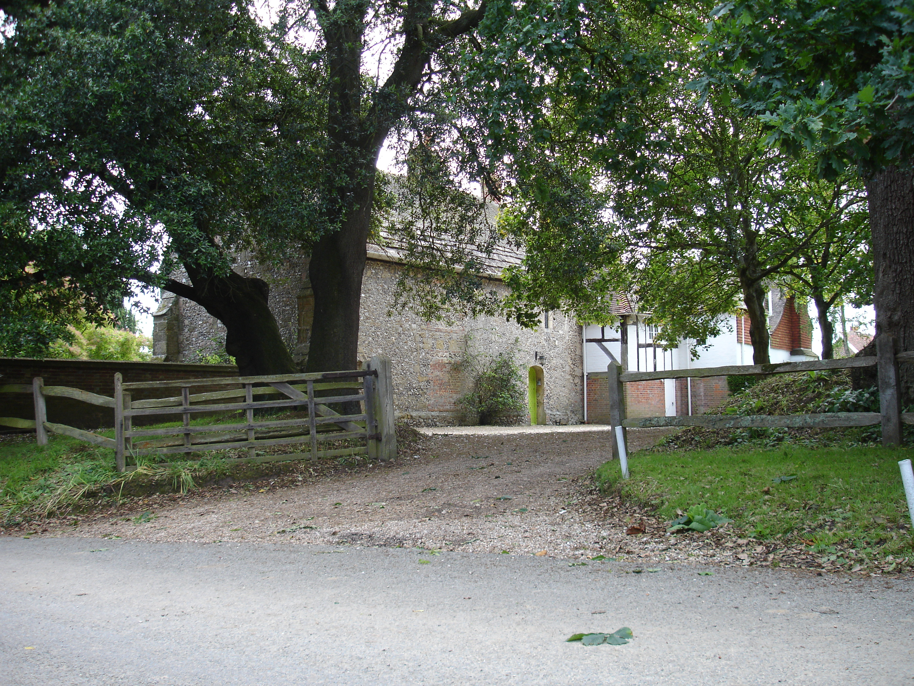
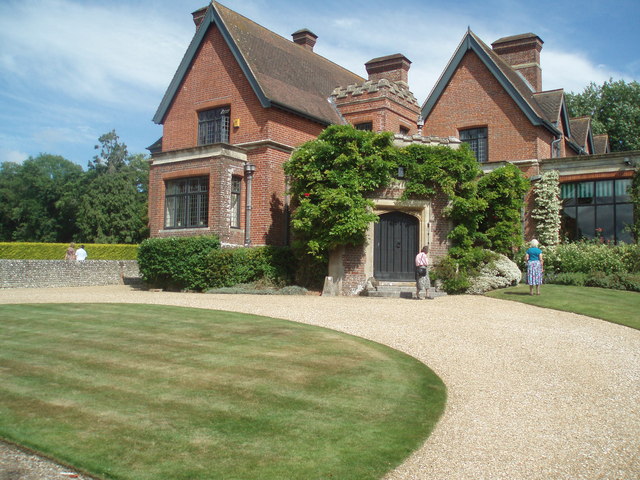
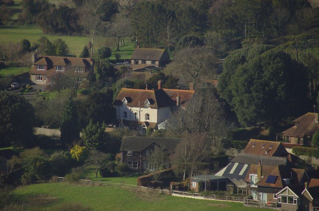
Lady's Wood Images
Images are sourced within 2km of 50.851949/-0.50444715 or Grid Reference TQ0506. Thanks to Geograph Open Source API. All images are credited.


Lady's Wood is located at Grid Ref: TQ0506 (Lat: 50.851949, Lng: -0.50444715)
Administrative County: West Sussex
District: Arun
Police Authority: Sussex
What 3 Words
///laughs.learns.deleting. Near Arundel, West Sussex
Related Wikis
Poling Preceptory
Poling Preceptory was a priory in West Sussex, England. It is a Grade I listed building.. == References ==

Worthing Rural District
Worthing Rural District was a rural district in West Sussex, England from 1933 to 1974. It comprised an area to the north, west and east, but did not...
Warningcamp
Warningcamp is a village and civil parish in the Arun District of West Sussex, England. It is 1 mile (1.6 km) east of Arundel, on the east bank of the...

Poling, West Sussex
Poling is a village and civil parish in the Arun District of West Sussex, England, 2 miles (3.2 km) southeast of Arundel on a minor road south of the...
Burpham
Burpham is a rural village and civil parish in the Arun District of West Sussex, England. The village is on an arm of the River Arun slightly less than...

St Margaret's Church, Angmering
St Margaret's Church is a Church of England parish church in Angmering, West Sussex. The church is a grade II* listed building. == History == St Margaret...

Oval Raceway
The Oval Raceway, also known as the Angmering Motor Sports Centre or Angmering Raceway is a motor racing circuit on the outskirts of Angmering, near Worthing...

Angmering
Angmering is a village and civil parish between Littlehampton and Worthing in West Sussex on the southern edge of the South Downs National Park, England...
Nearby Amenities
Located within 500m of 50.851949,-0.50444715Have you been to Lady's Wood?
Leave your review of Lady's Wood below (or comments, questions and feedback).