Bushy Copse

Wood, Forest in Sussex Chichester

England

Bushy Copse

View SSW from the Serpent Trail
View SSW from the Serpent Trail Credit: Ian Cunliffe

Bushy Copse is a picturesque woodland located in the county of Sussex, England. Situated near the village of Copse Hill, it covers an area of approximately 50 hectares and is known for its dense and lush vegetation, making it a popular destination for nature enthusiasts and hikers alike.

The copse is primarily composed of broadleaf trees such as oak, beech, and ash, which create a dense canopy that provides shelter for a variety of wildlife species. The forest floor is covered with a rich carpet of wildflowers, ferns, and mosses, adding to the copse's natural beauty.

The woodland is crisscrossed by a network of well-maintained footpaths and trails, allowing visitors to explore its hidden treasures. These paths meander through the trees, leading to enchanting clearings and tranquil streams that flow through the copse. Along the way, visitors may encounter various species of birds, including woodpeckers, owls, and songbirds, as well as small mammals like foxes, rabbits, and squirrels.

In addition to its natural wonders, Bushy Copse is also home to a diverse range of plant species, including bluebells, primroses, and wood anemones, which create a vibrant tapestry of colors during the spring months. The copse is a designated Site of Special Scientific Interest (SSSI), recognizing its ecological importance and the need for its preservation.

Whether one is seeking a peaceful walk amidst nature, a chance to spot wildlife, or simply a place to reconnect with the natural world, Bushy Copse in Sussex offers a captivating and serene experience to all who visit.

If you have any feedback on the listing, please let us know in the comments section below.
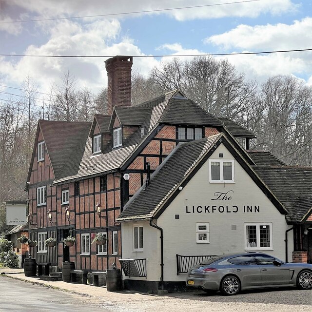
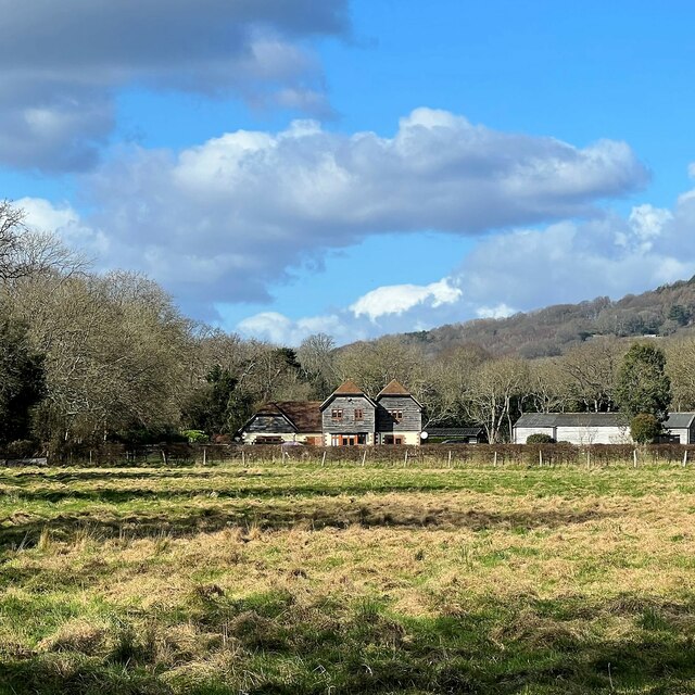
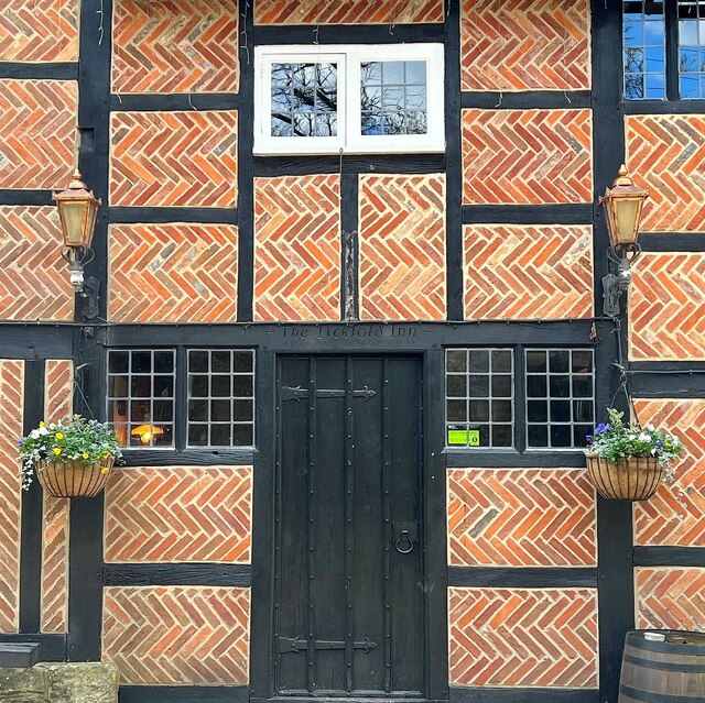
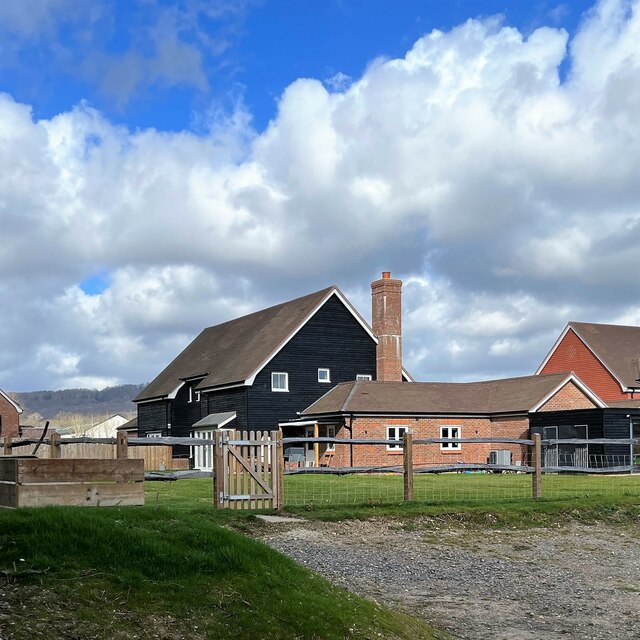
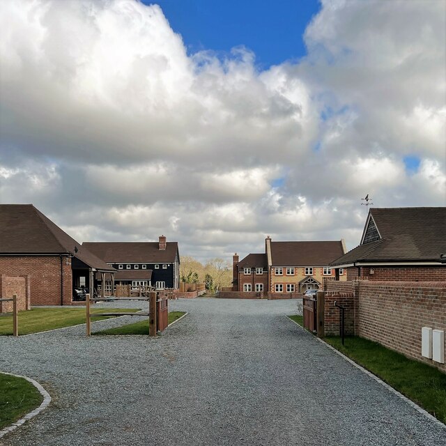
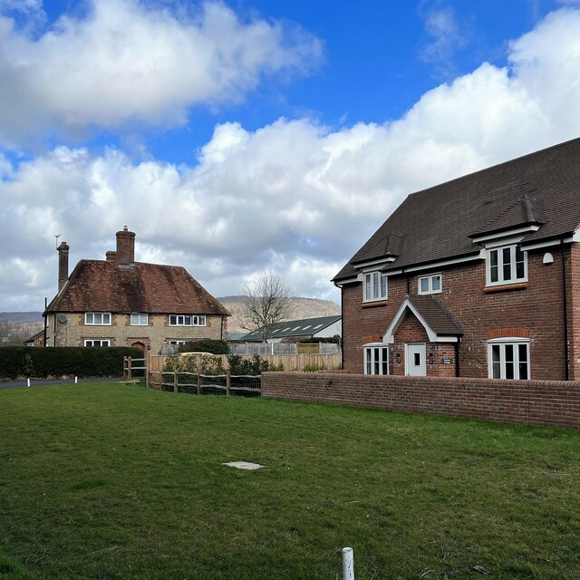
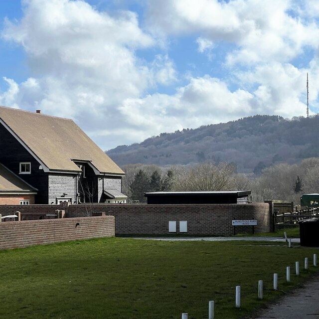
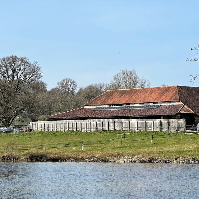
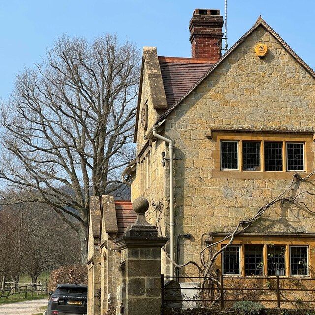
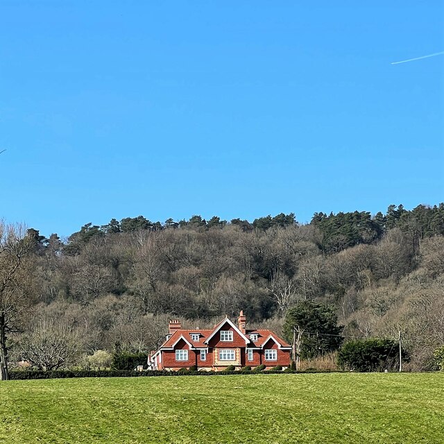
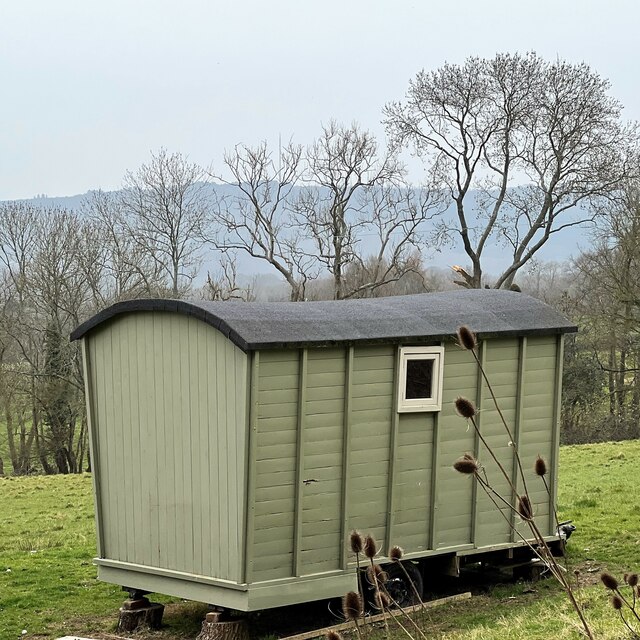
Bushy Copse Images

Images are sourced within 2km of 51.039914/-0.69461794 or Grid Reference SU9127. Thanks to Geograph Open Source API. All images are credited.

View SSW from the Serpent Trail
View SSW from the path west of Park Farm
Outbuilding near Park Farm "Woodcraft Folk" - <span class="nowrap"><a title="https://woodcraft.org.uk/about-woodcraft-folk/our-aims-principles/" rel="nofollow ugc noopener" href="https://woodcraft.org.uk/about-woodcraft-folk/our-aims-principles/">Link</a><img style="margin-left:2px;" alt="External link" title="External link - shift click to open in new window" src="https://s1.geograph.org.uk/img/external.png" width="10" height="10"/></span> - have a campsite hereabouts. I think this building belongs to them.
Outbuilding near Park Farm
"Woodcraft Folk" - LinkExternal link - have a campsite hereabouts. I think this building belongs to them.
The Lickfold Inn
The Lickfold Inn
View NNW towards Lower Gentilshurst Farm
The Lickfold Inn
The Lickfold Inn
New houses on Hurstfold Farm Road
New houses on Hurstfield Farm Road To me there is always something slightly surreal about newly built houses like this - before people move in.
New houses on Hurstfield Farm Road
To me there is always something slightly surreal about newly built houses like this - before people move in.
View NNE in the direction of Hurstfold Farm You can see a barn between the two houses - and Black Down behind the barn.
View NNE in the direction of Hurstfold Farm
You can see a barn between the two houses - and Black Down behind the barn.
New house and view towards Bexleyhill You can see the mast of Midhurst Transmitting Station on the top of Bexleyhill.
New house and view towards Bexleyhill
You can see the mast of Midhurst Transmitting Station on the top of Bexleyhill.
Pond and buildings at Lower House Farm The pond lies in this grid square. The farm buildings lie in the square to the NW.
Pond and buildings at Lower House Farm
The pond lies in this grid square. The farm buildings lie in the square to the NW.
Primroses by the track to Lower House Farm
Pond and view towards Lower House Farm The pond lies in this grid square. The house and farm buildings are in the square to the NW.
Pond and view towards Lower House Farm
The pond lies in this grid square. The house and farm buildings are in the square to the NW.
Scout hut off Ropes Lane This is the "1st Fernhurst" scout hut.
Scout hut off Ropes Lane
This is the "1st Fernhurst" scout hut.
The Lodge - Blackdown Park Estate The track/drive to the left of the lodge leads up to Blackdown Farm and Blackdown House.
The Lodge - Blackdown Park Estate
The track/drive to the left of the lodge leads up to Blackdown Farm and Blackdown House.
House at Little Brockhurst It could be that the house is called "Little Brockhurst". I'm not sure. I think those are vines in the foreground. There's certainly a winery hereabouts.
House at Little Brockhurst
It could be that the house is called "Little Brockhurst". I'm not sure. I think those are vines in the foreground. There's certainly a winery hereabouts.
House at Blackdown Farm Black Down is the hill behind the house. This area is the Blackdown Estate. There are several other houses near this one, though they're not visible in the photograph.
House at Blackdown Farm
Black Down is the hill behind the house. This area is the Blackdown Estate. There are several other houses near this one, though they're not visible in the photograph.
Shepherd's hut at Blackdown Farm
Show me another place!

Bushy Copse is located at Grid Ref: SU9127 (Lat: 51.039914, Lng: -0.69461794)

Administrative County: West Sussex

District: Chichester

Police Authority: Sussex

What 3 Words

///polices.roosts.curable. Near Fernhurst, West Sussex

Related Wikis

North Ambersham

North Ambersham was a tithing in the Chichester district of West Sussex, England. Until 1844 North Ambersham was a detached part of Hampshire and was...

Iberia Flight 062

Iberia Flight 062 was a twin-engined Sud Aviation Caravelle registered EC-BDD operating a scheduled flight from Málaga Airport, Spain, to London Heathrow...

Lurgashall

Lurgashall is a village and civil parish in the Chichester district of West Sussex, England, 6.5 km (4 ml) north west of Petworth, just inside the South...

Blackdown, West Sussex

Blackdown, or Black Down, summit elevation 279.7 metres (918 ft) AMSL, is the highest point in both the historic county of Sussex and the South Downs National...

Nearby Amenities

Located within 500m of 51.039914,-0.69461794
Barrier: stile
Lat/Long: 51.0428735/-0.6943223
Barrier: stile
Lat/Long: 51.0423086/-0.6918586
Barrier: stile
Lat/Long: 51.0380688/-0.6899078
Barrier: stile
Lat/Long: 51.0394389/-0.6890185
The data included in this document is from www.openstreetmap.org. The data is made available under ODbL.

Have you been to Bushy Copse?

Leave your review of Bushy Copse below (or comments, questions and feedback).