Raithwaite Plantation
Wood, Forest in Yorkshire Scarborough
England
Raithwaite Plantation
Raithwaite Plantation is an enchanting woodland located in the picturesque county of Yorkshire, England. Stretching over vast acres of lush greenery, it stands as a testament to the region's natural beauty and rich biodiversity. Nestled within the North York Moors National Park, this idyllic retreat offers a tranquil escape from the hustle and bustle of everyday life.
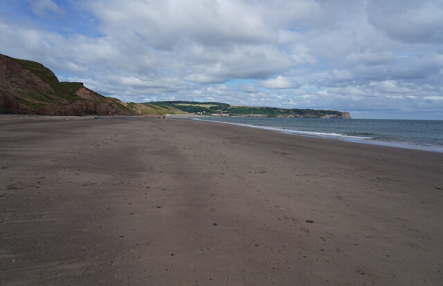
The plantation is a haven for nature enthusiasts and outdoor adventurers alike. Its dense forest is home to a diverse range of flora and fauna, including towering oak and beech trees, vibrant wildflowers, and an array of bird species. Visitors can explore the woodland through a network of well-maintained walking trails, which wind their way through the ancient trees and offer breathtaking views of the surrounding countryside.
For those seeking a more immersive experience, Raithwaite Plantation offers several accommodation options, including luxurious self-catering cottages and cozy log cabins. These lodgings blend seamlessly with the natural surroundings, providing a peaceful retreat for guests to unwind and reconnect with nature.
Aside from its natural beauty, Raithwaite Plantation also boasts a rich history. The area was once a thriving estate, with evidence of human habitation dating back centuries. Today, visitors can still catch glimpses of the past in the form of ruins and remnants that dot the landscape.
Overall, Raithwaite Plantation is a captivating destination that offers a perfect blend of natural wonders and historical intrigue. Whether one seeks solitude amidst the woodland or yearns to delve into the region's past, this enchanting retreat promises an unforgettable experience for all who visit.
If you have any feedback on the listing, please let us know in the comments section below.
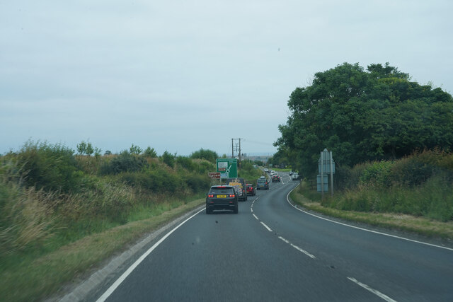
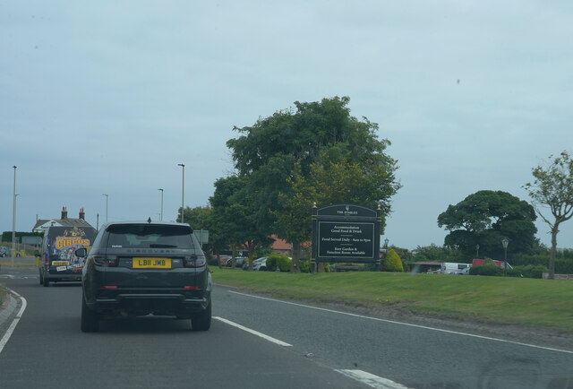
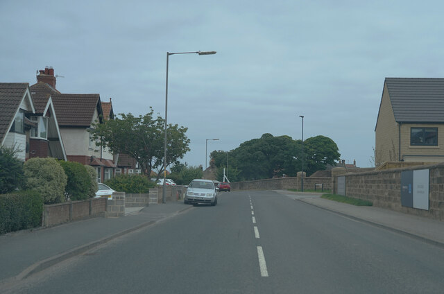
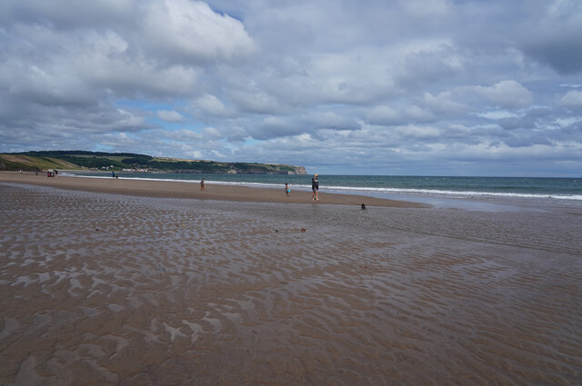
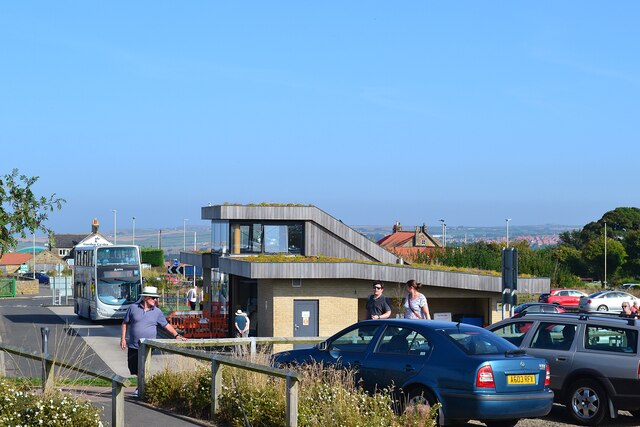
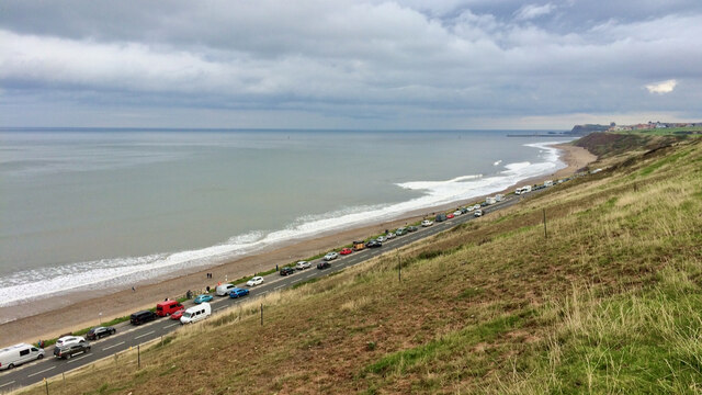
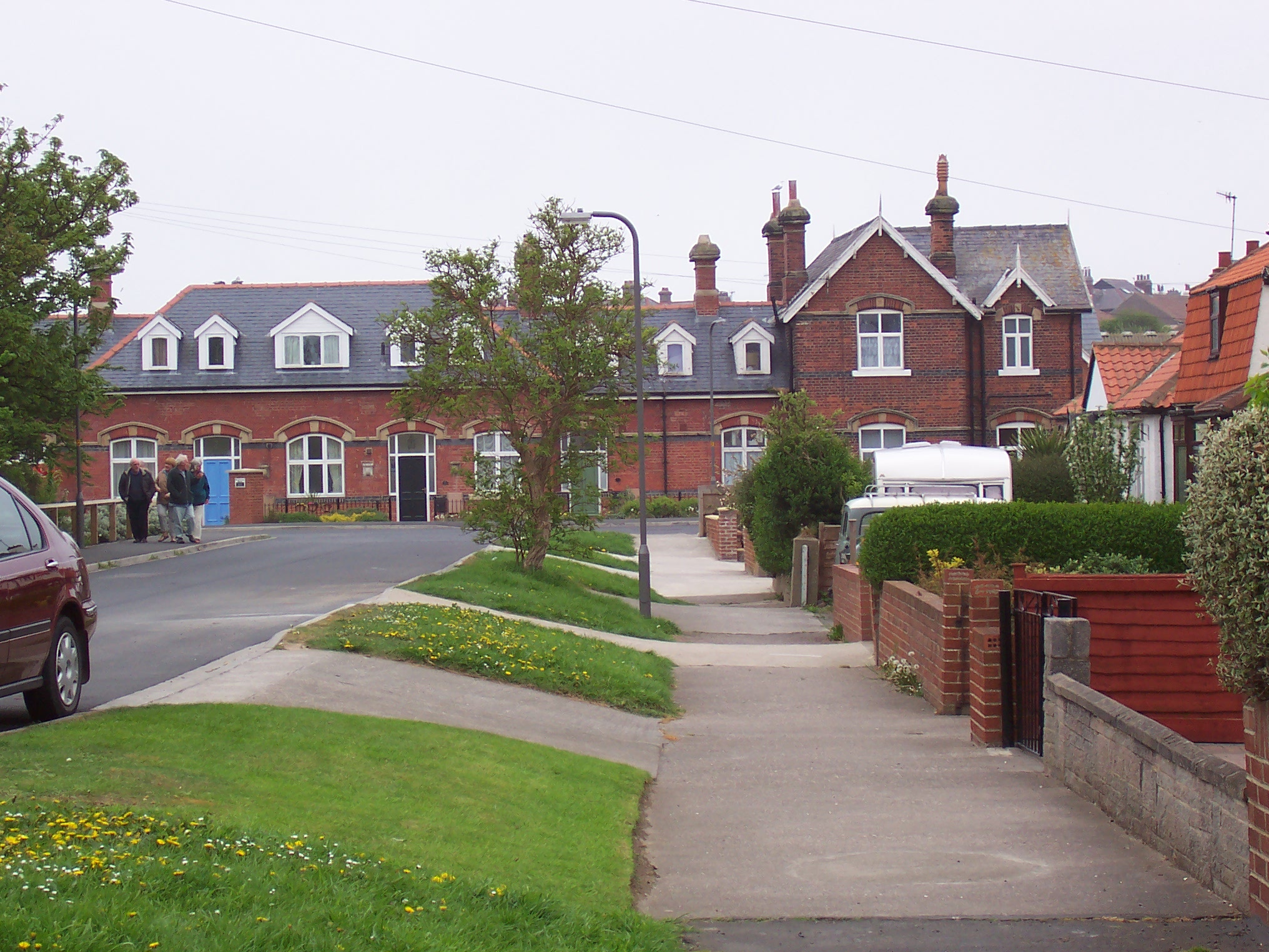
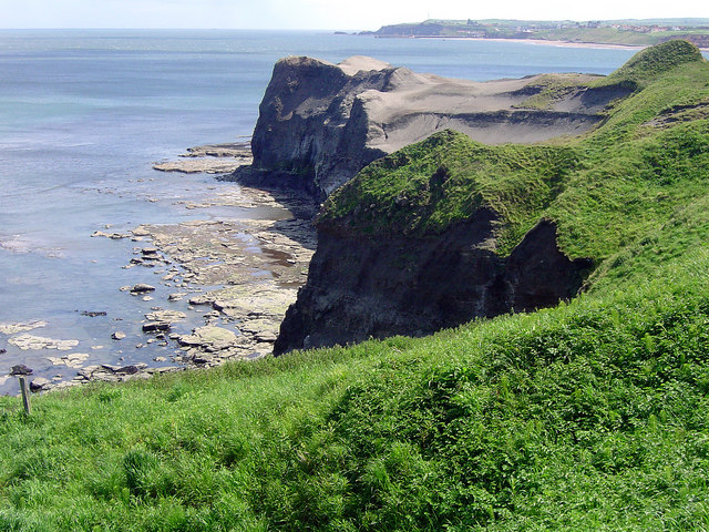
Raithwaite Plantation Images
Images are sourced within 2km of 54.494442/-0.65858087 or Grid Reference NZ8611. Thanks to Geograph Open Source API. All images are credited.

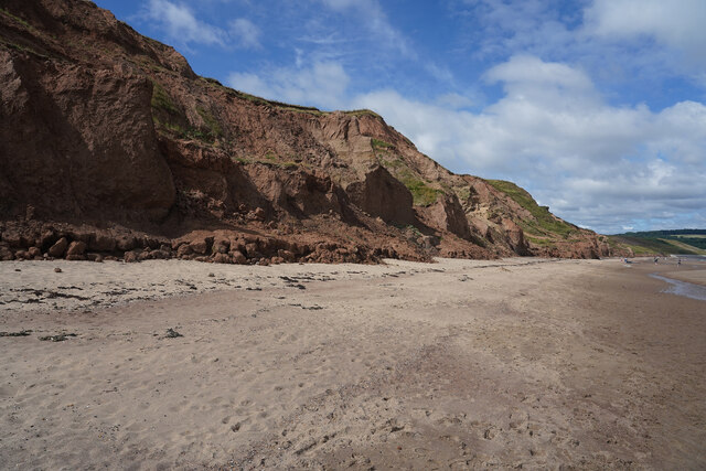
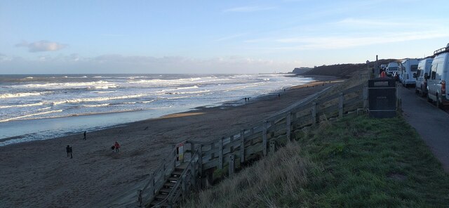
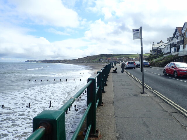
![Sandsend and The Maharajah of Mulgrave Castle In the decade following the death of Maharajah Ranjit Singh in 1839, the Punjab was thrown into turmoil with several successions to the throne and a threat of annexation by the British East India Company.
In 1843, Duleep Singh, just five years old, was crowned King of the Punjab and head of the Sikh nation. He was now extremely rich and ruled under the regency of Ranjit Singh’s youngest widow, Jind Kaur. His wealth included one of the largest diamonds in the world, the Koh-i-Noor, weighing in at 21.12 grms. (105.6 carats).
War with the British East India Company broke out, and, in 1848, the young Singh, now aged ten years old, was forced to sign papers that sacrificed his kingdom and forcing him to resign ‘for himself, his heirs, his successors, all right, title and claim to the sovereignty of the Punjab or to any sovereign power whatsoever, the confiscation of all state property, and the surrender of the Koh-i-Noor diamond’. The Punjab was now British territory.
In return, he was to be given a pension of £40,000 and granted the honour of the title Maharajah (I guess the equivalent to His Royal Highness). He was sent for exile in England where Queen Victoria was apparently quite taken with the young man. She wrote in her diary: ‘Osborne 22 August: A most beautiful morning. We breakfasted in the Alcove with the truly amicable young Maharajah, who is so kind to the children, playing so nicely with them’. I am sure she wasn’t at all influenced by the latest addition to her crown jewels: the Koh-i-Noor diamond.
The Maharajah grew up into the life of an English squire, with a love of shooting, hawking, and other country pursuits and, in 1858, took up residency at Mulgrave Castle which he rented from the Marquis of Normanby, who was serving as British Ambassador in Florence. Queen Victoria was one of the many guests who dined with Singh during his tenure at Mulgrave Castle.
But he wasn’t happy, and frequently clashed with the Government over his financial compensation. His money slowly dwindled, he spent lavishly on his estate at Elveden, Norfolk, which he had brought after vacating Mulgrave in 1862. He made many fruitless attempts to regain the Koh-i-Noor diamond, and grew ever more disillusioned with Britain, developing an intent to reclaim his homeland in the Punjab, a direct threat to the Empire. On a trip to India in 1886, he was arrested and subsequently settled in exile in Paris from which he journeyed across Europe and to Russia in the search of allies in starting a rebellion in the Punjab.
The Maharajah Duleep Singh died in 1893 in Paris at the age of 55 and is buried at Elveden.
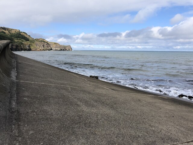
During his thirteen years at Mulgrave Castle, the Maharajah would often be seen fishing from a boat at Sandsend, using the Chinese method of hunting with specially-trained tethered cormorants. These had a ring fitted around their necks so they couldn’t swallow the fish. He also had a new toll-road constructed between Sandsend and Whitby, which formed the foundation for today’s modern road alongside the beach. Some say he had this road built as his elephants did not like walking through the sand, but sadly there is no evidence that there have ever been elephants at Mulgrave.
For sources and references see my blog: Out and about ... (2021). Sandsend and The Maharajah of Mulgrave Castle. [online] Available at: <span class="nowrap"><a title="http://www.fhithich.uk/?p=26632" rel="nofollow ugc noopener" href="http://www.fhithich.uk/?p=26632">Link</a><img style="margin-left:2px;" alt="External link" title="External link - shift click to open in new window" src="https://s1.geograph.org.uk/img/external.png" width="10" height="10"/></span> [Accessed 11 Dec. 2021].
](https://s1.geograph.org.uk/geophotos/07/04/11/7041101_01b225ea.jpg)
Raithwaite Plantation is located at Grid Ref: NZ8611 (Lat: 54.494442, Lng: -0.65858087)
Division: North Riding
Administrative County: North Yorkshire
District: Scarborough
Police Authority: North Yorkshire
What 3 Words
///famines.messaging.memo. Near Whitby, North Yorkshire
Nearby Locations
Related Wikis

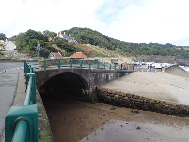
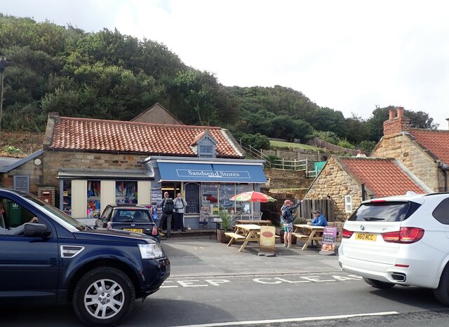
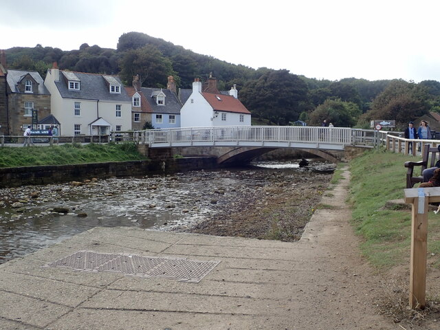
Sandsend
Sandsend is a small fishing village, near to Whitby in the Scarborough district of North Yorkshire, England. It forms part of the civil parish of Lythe...

Newholm-cum-Dunsley
Newholm-cum-Dunsley is a civil parish in the Scarborough district of North Yorkshire, England. According to the 2011 UK census, Newholm-cum-Dunsley parish...

Sandsend railway station
Sandsend railway station was a railway station on the Whitby, Redcar and Middlesbrough Union Railway. It was opened on 3 December 1883, and served the...
Whitby Town F.C.
Whitby Town Football Club is an English football club based in Whitby, North Yorkshire. The club participates in the Northern Premier League, the seventh...
Whitby West Cliff railway station
Whitby West Cliff railway station was a railway station on the Whitby Redcar and Middlesbrough Union Railway. It was opened on 3 December 1883, to serve...

Church of St Oswald, Lythe
The Church of St Oswald, Lythe, is the parish church for the village of Lythe, 4 miles (6.4 km) west, north west of Whitby in North Yorkshire, England...
Sandsend Ness
Sandsend Ness is an old alum quarrying site close to Whitby in North Yorkshire, England. Beneath extensive deposits of grey pyritic shale a thin band of...

Whitby Museum
Whitby Museum is an independent museum in Whitby, North Yorkshire, England, run by Whitby Literary and Philosophical Society, a learned society and registered...
Nearby Amenities
Located within 500m of 54.494442,-0.65858087Have you been to Raithwaite Plantation?
Leave your review of Raithwaite Plantation below (or comments, questions and feedback).