Beaumonts Copse
Wood, Forest in Hampshire Basingstoke and Deane
England
Beaumonts Copse

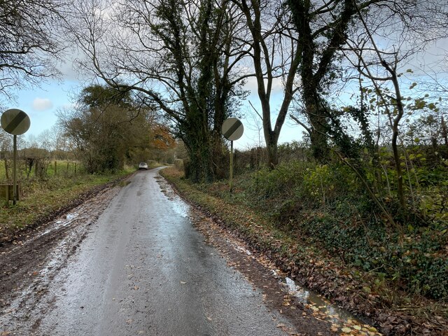
Beaumonts Copse is a picturesque woodland located in Hampshire, England. Spanning an area of approximately 50 hectares, it is a popular destination for nature enthusiasts and those seeking tranquility amidst the beauty of nature. The copse is situated near the village of Buriton and is easily accessible by road.
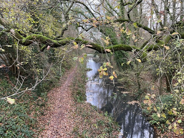
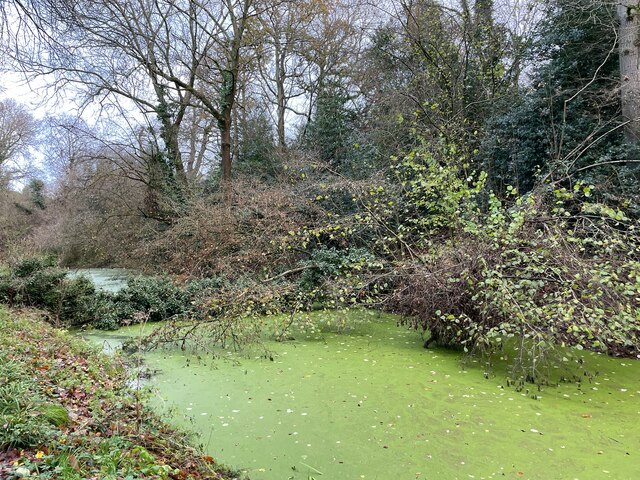
The woodland is characterized by its diverse range of tree species, including oak, beech, ash, and birch. These trees create a dense canopy that provides shade and shelter for a variety of wildlife. Visitors to Beaumonts Copse may spot an array of bird species, such as woodpeckers, thrushes, and owls, as well as small mammals like squirrels and rabbits.
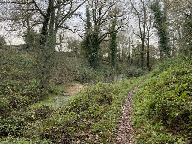
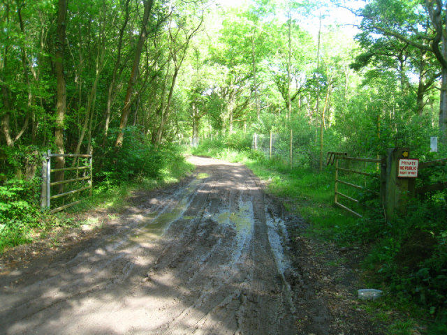
The copse offers several well-maintained walking trails, allowing visitors to explore its natural wonders at their own pace. These trails take visitors through enchanting pathways surrounded by towering trees, wildflowers, and ferns. For those interested in learning more about the copse's flora and fauna, information boards are strategically placed along the trails, providing details about the different species found in the area.
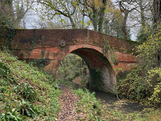
Beaumonts Copse is also known for its historical significance. It is believed to have ancient origins, with evidence of prehistoric settlement and Roman occupation in the surrounding areas. The copse was once used as a source of timber for shipbuilding during the 18th and 19th centuries.
Overall, Beaumonts Copse offers a unique and immersive experience in the heart of Hampshire's countryside. Whether it's a peaceful walk, birdwatching, or a desire to connect with nature, this woodland provides an ideal retreat for visitors of all ages.
If you have any feedback on the listing, please let us know in the comments section below.
Beaumonts Copse Images
Images are sourced within 2km of 51.266195/-0.98950994 or Grid Reference SU7052. Thanks to Geograph Open Source API. All images are credited.


Beaumonts Copse is located at Grid Ref: SU7052 (Lat: 51.266195, Lng: -0.98950994)
Administrative County: Hampshire
District: Basingstoke and Deane
Police Authority: Hampshire
What 3 Words
///challenge.crossing.marmalade. Near Hook, Hampshire
Nearby Locations
Related Wikis

Up Nately LNR
Up Nately LNR is a 2.8-hectare (6.9-acre) local nature reserve in Up Nately in Hampshire. It is owned by Hampshire County Council and Surrey County Council...
Butter Wood
Butter Wood is a 133-hectare (330-acre) biological Site of Special Scientific Interest (SSSI) east of Basingstoke in Hampshire. Part of Up Nately LNR,...
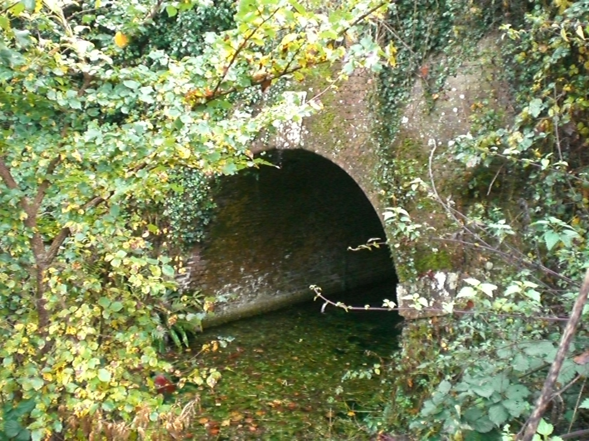
Greywell Tunnel
Greywell Tunnel is a disused tunnel on the Basingstoke Canal near Greywell in Hampshire, which is now a 0.4-hectare (0.99-acre) biological Site of Special...
Up Nately
Up Nately is a small village and former civil parish, now in the parish of Mapledurwell and Up Nately, in the Basingstoke and Deane district, in Hampshire...

Nately Scures
Nately Scures is a small village and former civil parish, now in the parish of Newnham, in the Basingstoke and Deane district of Hampshire, England. Its...

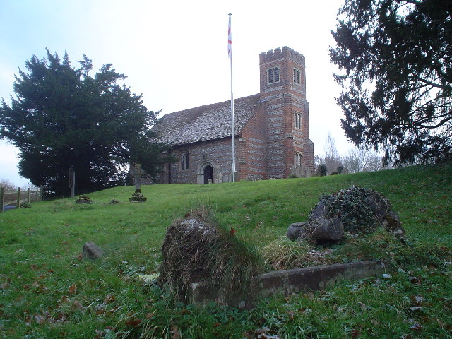
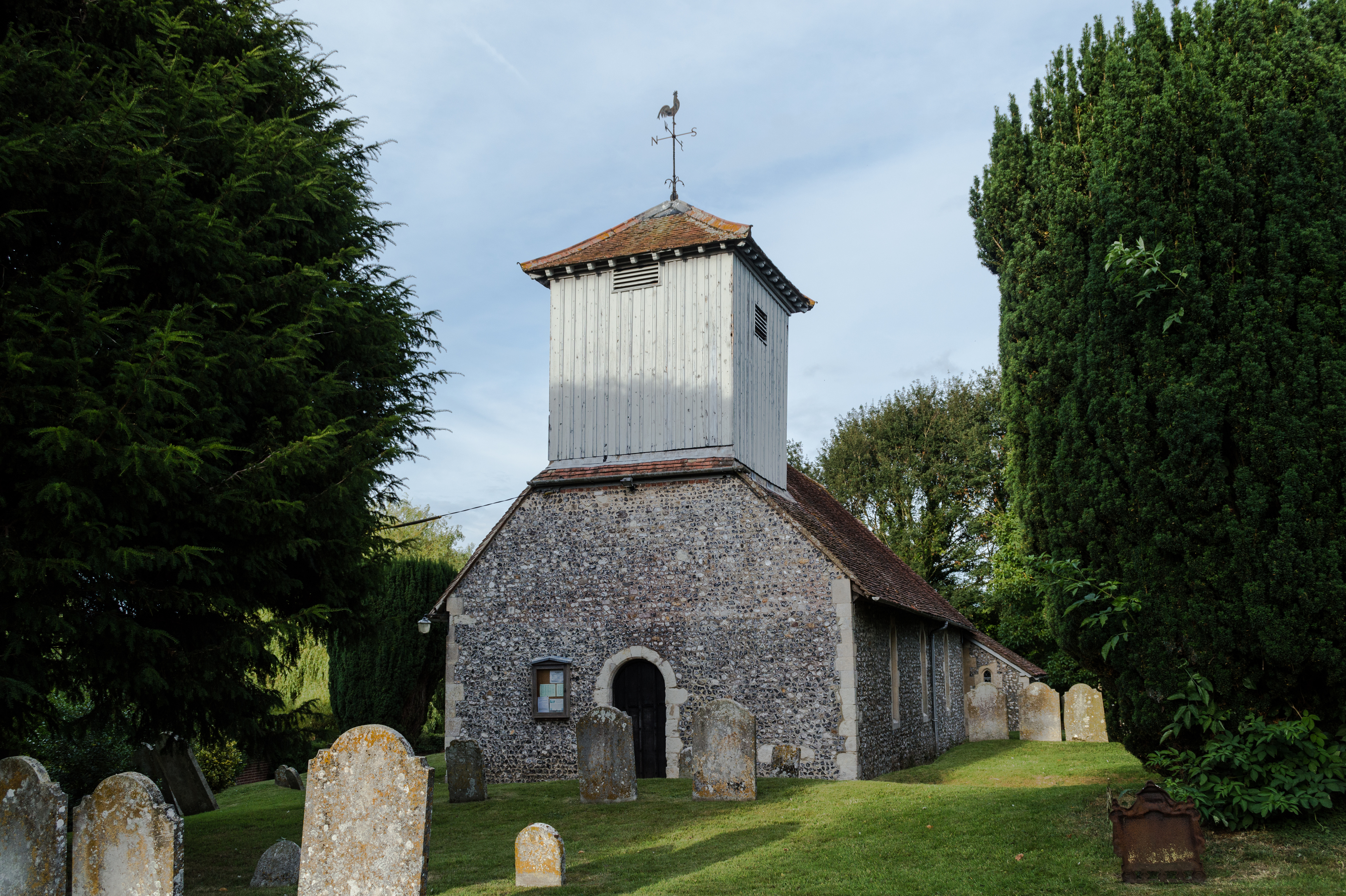
St. Swithun's, Nately Scures
St Swithun's Church is the smallest ancient Church of England parish church in the English county of Hampshire. Newnham and Nately Scures are part of the...

Newnham, Hampshire
Newnham is a village and parish in Hampshire, England. It is centred 4 miles (6.4 km) east of Basingstoke, and 1 mile (1.6 km) west of Hook. At the 2011...
Mapledurwell
Mapledurwell is a village and former civil parish, now in the parish of Mapledurwell and Up Nately, in the Basingstoke and Deane district, in the county...
Nearby Amenities
Located within 500m of 51.266195,-0.98950994Have you been to Beaumonts Copse?
Leave your review of Beaumonts Copse below (or comments, questions and feedback).