Gravelpit Plantation
Wood, Forest in Oxfordshire South Oxfordshire
England
Gravelpit Plantation

Gravelpit Plantation is a picturesque woodland located in Oxfordshire, England. Situated near the village of Wood, this plantation covers a substantial area of land, offering an idyllic escape for nature enthusiasts and outdoor adventurers.
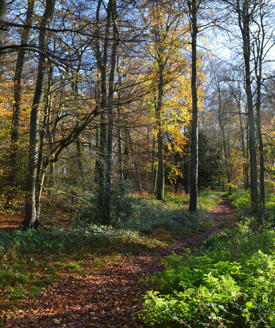
The plantation is characterized by dense forests, with towering trees that create a canopy overhead, providing shade and shelter to a diverse range of flora and fauna. The woodland is predominantly made up of native British species such as oak, beech, and birch trees, which contribute to the area's natural beauty. The lush undergrowth is a haven for wildflowers, including bluebells, primroses, and wood anemones, which create a vibrant and colorful display during the spring months.
Gravelpit Plantation is a haven for wildlife, attracting a variety of species. Birdwatchers will delight in the presence of woodland birds like woodpeckers, owls, and various songbirds. The plantation is also home to small mammals such as squirrels, rabbits, and foxes, as well as an array of insects and butterflies.
Visitors to Gravelpit Plantation can enjoy a network of walking trails, allowing them to explore the woodland at their own pace. The paths wind through the trees, offering glimpses of the surrounding countryside and providing opportunities for peaceful contemplation. The plantation is a popular spot for picnics, with designated areas equipped with benches and picnic tables.
Overall, Gravelpit Plantation in Oxfordshire is a natural gem, providing a tranquil and enchanting setting for nature lovers to immerse themselves in the beauty of the British countryside.
If you have any feedback on the listing, please let us know in the comments section below.
Gravelpit Plantation Images
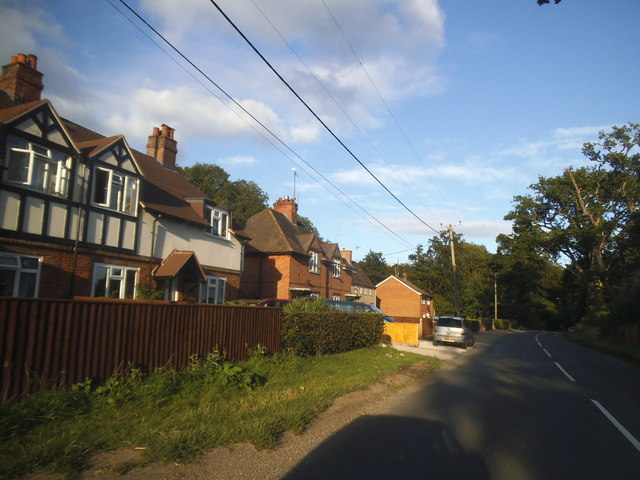
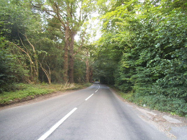
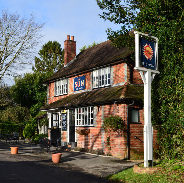
Images are sourced within 2km of 51.512827/-1.0476869 or Grid Reference SU6679. Thanks to Geograph Open Source API. All images are credited.


Gravelpit Plantation is located at Grid Ref: SU6679 (Lat: 51.512827, Lng: -1.0476869)
Administrative County: Oxfordshire
District: South Oxfordshire
Police Authority: Thames Valley
What 3 Words
///inclines.kneeled.engage. Near Pangbourne, Berkshire
Nearby Locations
Related Wikis

Hook End Recording Studios
Hook End Recording Studios was a recording studio located in Hook End Manor, a 16th-century Elizabethan house near Checkendon, Oxfordshire, England. Its...

Whitchurch Hill
Whitchurch Hill is a village in the Chiltern Hills in Oxfordshire, about 5.5 miles (9 km) northwest of Reading, Berkshire, near Whitchurch-on-Thames. The...

Hardwick House, Oxfordshire
Hardwick House is a Tudor house on the banks of the River Thames on a slight rise at Whitchurch-on-Thames in the English county of Oxfordshire. It is reputed...

Exlade Street
Exlade Street is a hamlet in Checkendon civil parish in Oxfordshire, about 6 miles (9.7 km) northwest of Reading, in the Chiltern Hills. The hamlet is...
The Oratory Preparatory School
The Oratory Prep School is a Roman Catholic day and boarding school for some 330 boys and girls aged from two to thirteen, founded in 1925. The school...

The Oratory School
The Oratory School () is an HMC co-educational private Roman Catholic boarding and day school for pupils aged 11–18 located in Woodcote, 6 miles (9.7 km...
Crays Pond
Crays Pond is a hamlet situated in the parish of Goring Heath in South Oxfordshire. Crays Pond is about 2.4 miles (3.9 km) northeast of Goring-on-Thames...

Langtree School
Langtree School is a coeducational secondary school located in the village of Woodcote in South Oxfordshire, England. The school has approximately 624...
Nearby Amenities
Located within 500m of 51.512827,-1.0476869Have you been to Gravelpit Plantation?
Leave your review of Gravelpit Plantation below (or comments, questions and feedback).