Tanton Grove Southerly Plantation
Wood, Forest in Yorkshire Hambleton
England
Tanton Grove Southerly Plantation

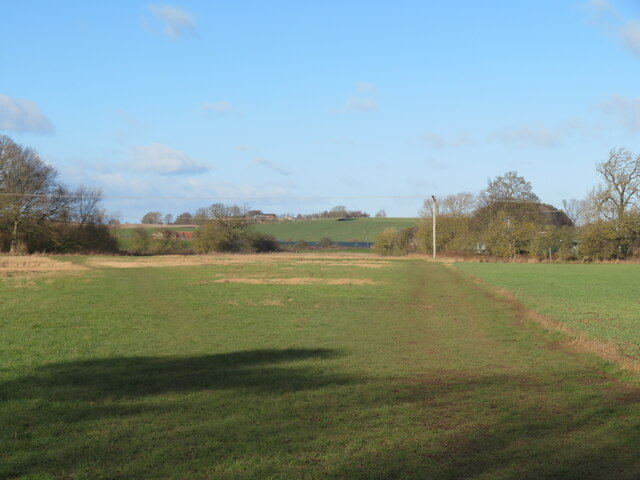
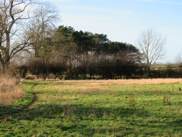
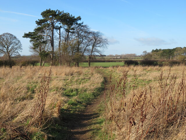
Tanton Grove Southerly Plantation, located in Yorkshire, is a picturesque woodland area that boasts stunning natural beauty and a rich historical significance. Covering an extensive area, this plantation is renowned for its dense forest and enchanting woodlands that captivate visitors with their tranquility and charm.
The plantation is home to a diverse range of trees, including oak, birch, beech, and ash, creating a vibrant and lush environment. The woodland floor is adorned with a colorful carpet of wildflowers and ferns, further enhancing the visual appeal of the area. Tanton Grove Southerly Plantation is a haven for various wildlife species, such as deer, rabbits, and a plethora of bird species, making it an ideal spot for nature enthusiasts and birdwatchers.
Steeped in history, the plantation dates back centuries and has witnessed the passage of time. It is believed that the area was once part of a larger estate, serving as a hunting ground for the nobility. The remnants of an old manor house can still be found within the plantation, offering a glimpse into its past.
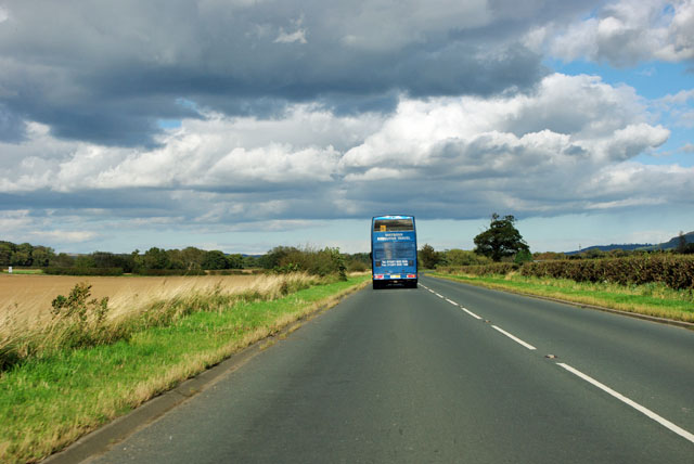
Visitors to Tanton Grove Southerly Plantation can explore its many walking trails and enjoy the serenity of the surroundings. The plantation also offers picnic areas and benches, providing the perfect opportunity to relax and immerse oneself in nature. Its proximity to nearby villages and towns makes it easily accessible to tourists and locals alike.
Overall, Tanton Grove Southerly Plantation is a true gem in Yorkshire, offering a blend of natural beauty and historical significance that is sure to captivate all who visit.
If you have any feedback on the listing, please let us know in the comments section below.
Tanton Grove Southerly Plantation Images
Images are sourced within 2km of 54.478202/-1.1940217 or Grid Reference NZ5209. Thanks to Geograph Open Source API. All images are credited.


Tanton Grove Southerly Plantation is located at Grid Ref: NZ5209 (Lat: 54.478202, Lng: -1.1940217)
Division: North Riding
Administrative County: North Yorkshire
District: Hambleton
Police Authority: North Yorkshire
What 3 Words
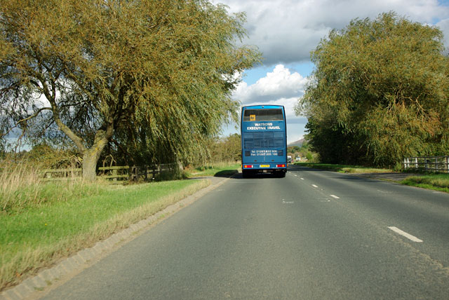
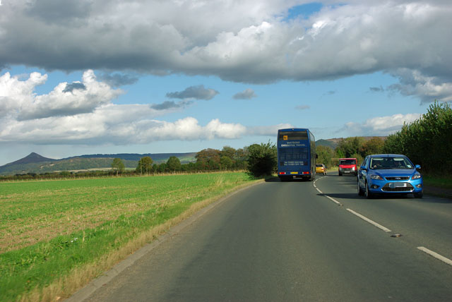
///workshop.employers.bonfires. Near Stokesley, North Yorkshire
Related Wikis

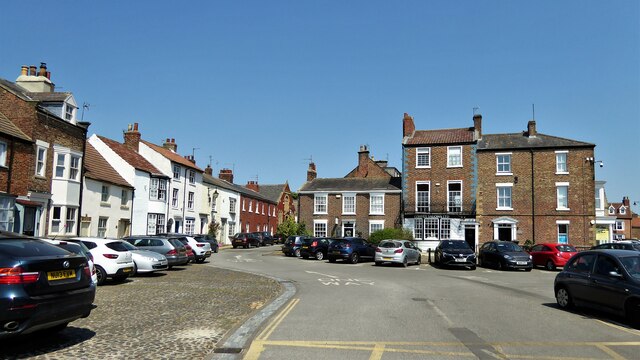
Stokesley
Stokesley is a market town and civil parish in North Yorkshire, England. It lies within the historic county boundaries of the North Riding of Yorkshire...

Stokesley Rural District
Stokesley was a rural district in the North Riding of Yorkshire from 1894 to 1974. It was named after the town of Stokesley, which it contained. The district...
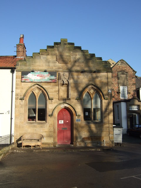
Stokesley Town Hall
Stokesley Town Hall is a municipal building in the Market Place in Stokesley, North Yorkshire, England. The structure, which accommodates the offices and...
Tanton, North Yorkshire
Tanton is a hamlet in the civil parish of Stokesley, North Yorkshire, England. It lies on the B1365 which connects Stokesley in the south, with Marton...
Nearby Amenities
Located within 500m of 54.478202,-1.1940217Have you been to Tanton Grove Southerly Plantation?
Leave your review of Tanton Grove Southerly Plantation below (or comments, questions and feedback).