Chesterfield Approach Plantation
Wood, Forest in Derbyshire North East Derbyshire
England
Chesterfield Approach Plantation
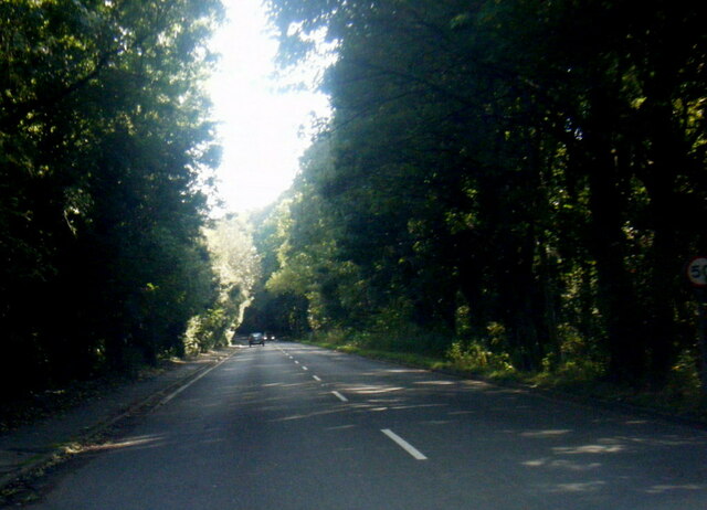
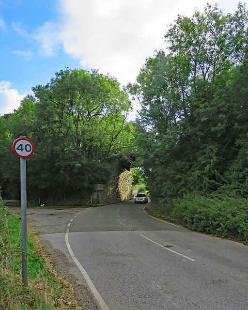
Chesterfield Approach Plantation, located in Derbyshire, England, is a picturesque woodland area filled with natural beauty and diverse flora and fauna. Covering a vast area of land, this plantation is known for its dense and towering trees, making it an ideal destination for nature lovers and outdoor enthusiasts.
The woodland is primarily composed of deciduous trees such as oaks, birches, and beeches, creating a vibrant and colorful landscape throughout the year. These trees not only provide a stunning visual display but also offer a habitat for a wide range of wildlife species. Visitors to the plantation may spot various birds, including woodpeckers and owls, as well as mammals like deer and foxes.
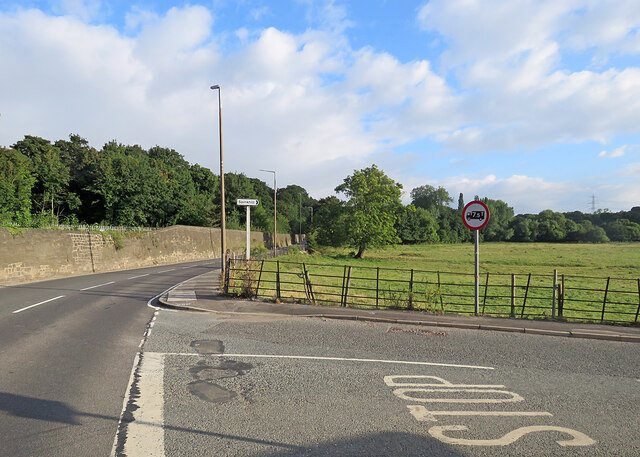
Chesterfield Approach Plantation is also home to a network of well-maintained trails, allowing visitors to explore the area on foot or by bike. These trails lead to hidden gems within the woodland, including tranquil ponds and meadows, where visitors can relax and soak in the peaceful atmosphere.
The plantation is a popular spot for outdoor activities such as hiking, birdwatching, and photography. Its natural beauty and serene environment provide a perfect escape from the hustle and bustle of city life. Whether one is looking for a peaceful retreat or an opportunity to connect with nature, Chesterfield Approach Plantation in Derbyshire is a must-visit destination.
If you have any feedback on the listing, please let us know in the comments section below.
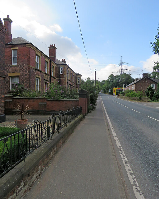
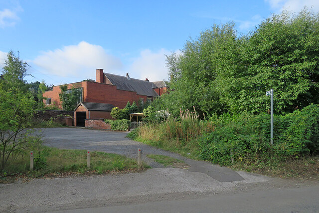
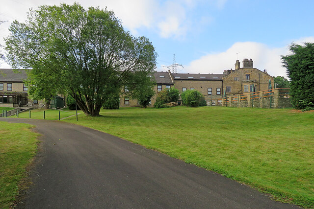
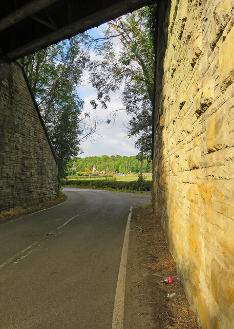
Chesterfield Approach Plantation Images
Images are sourced within 2km of 53.301042/-1.3519222 or Grid Reference SK4378. Thanks to Geograph Open Source API. All images are credited.


Chesterfield Approach Plantation is located at Grid Ref: SK4378 (Lat: 53.301042, Lng: -1.3519222)
Administrative County: Derbyshire
District: North East Derbyshire
Police Authority: Derbyshire
What 3 Words
///filer.stylist.factually. Near Killamarsh, Derbyshire
Related Wikis

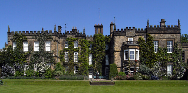
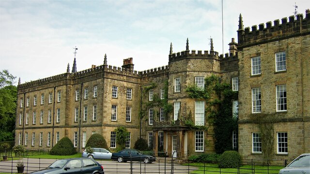
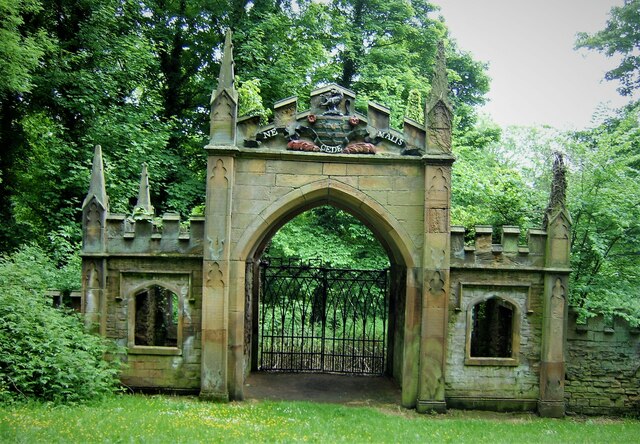
Renishaw Hall
Renishaw Hall is a country house in Renishaw in the parish of Eckington in Derbyshire, England. It is a Grade I listed building and has been the home of...

Eckington and Renishaw railway station
Eckington and Renishaw railway station is a former railway station between Eckington and Renishaw in Derbyshire, England. == See also == Three stations...

Renishaw, Derbyshire
Renishaw is a village in the district of North East Derbyshire in England. It is in the civil parish of Eckington.Renishaw lies on the A6135 road between...

Eckington, Derbyshire
Eckington is a village and civil parish in North East Derbyshire, England. It is 7 miles (11 km) northeast of Chesterfield and 9 miles (14 km) southeast...

Renishaw Central railway station
Renishaw Central is a former railway station in Renishaw, Derbyshire, England. From its opening the station was named Eckington and Renishaw, but it was...
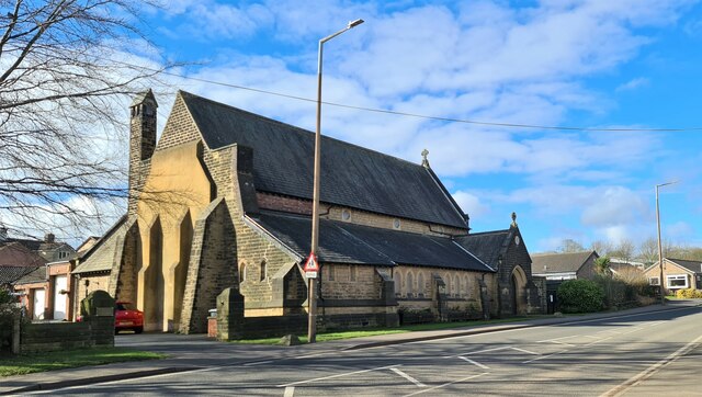
St John the Evangelist Church, Ridgeway
St John the Evangelist Church is a grade II listed Church of England church situated at Ridgeway, within the parish of Eckington, Derbyshire, England....
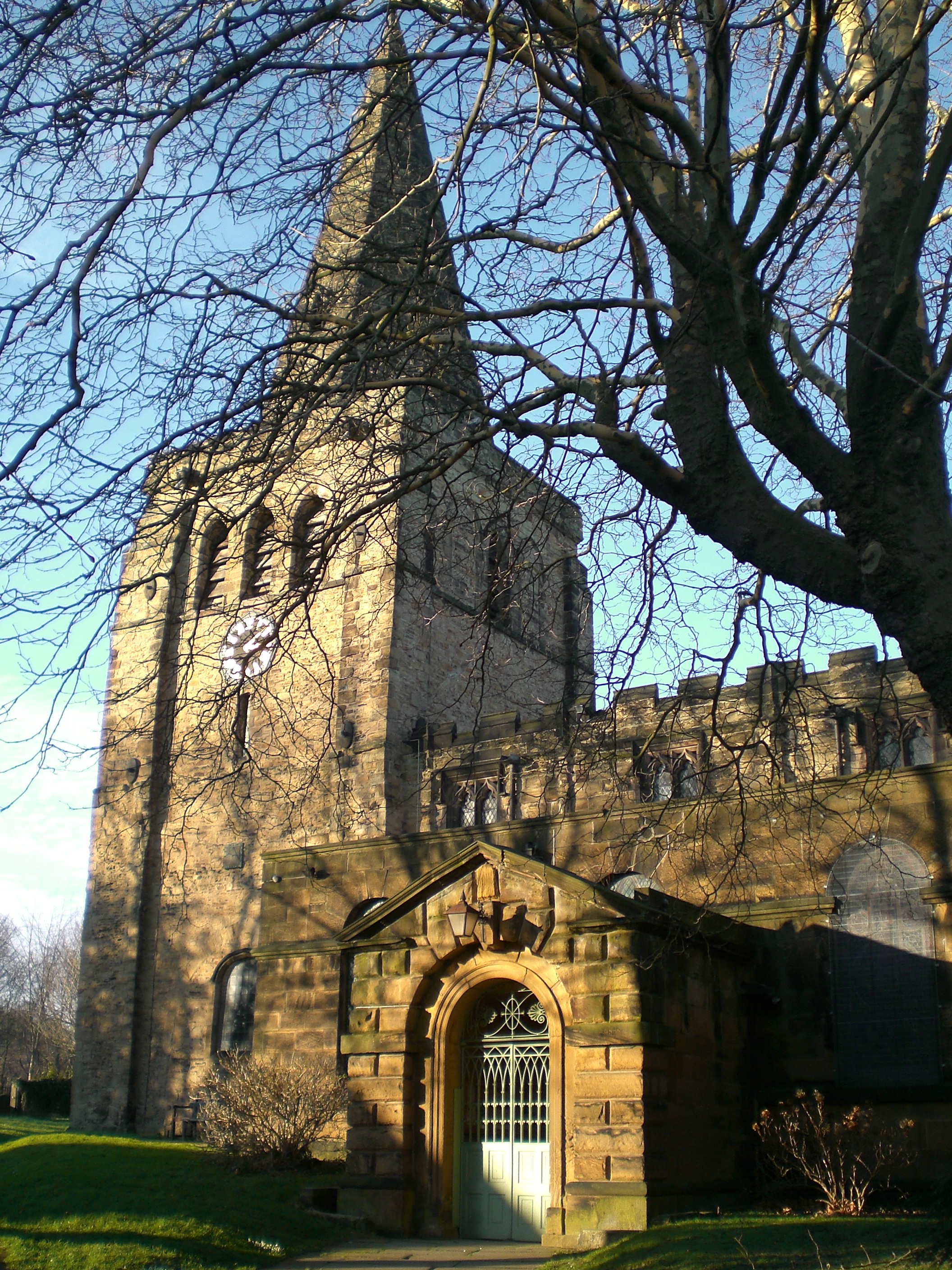
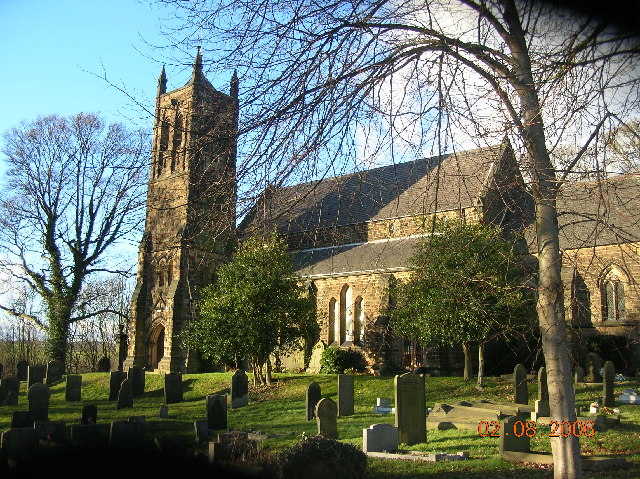
St Peter and St Paul's Church, Eckington
St Peter and St Paul's Church, Eckington is a Grade I listed parish church in the Church of England in Eckington, Derbyshire. == History == The church...
Eckington Mine
Eckington mine was a drift mine situated on the eastern edge of the township of Eckington, Derbyshire, England, 7 miles (11 km) South-West of Sheffield...
Nearby Amenities
Located within 500m of 53.301042,-1.3519222Have you been to Chesterfield Approach Plantation?
Leave your review of Chesterfield Approach Plantation below (or comments, questions and feedback).