Monks Meadow Copse

Wood, Forest in Hampshire Basingstoke and Deane

England

Monks Meadow Copse

Fields by the A343, Hollington Cross
Fields by the A343, Hollington Cross Credit: David Howard

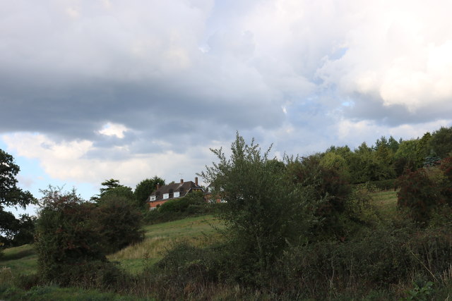
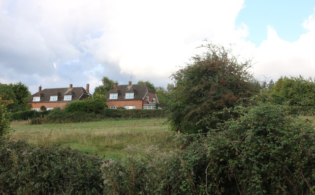
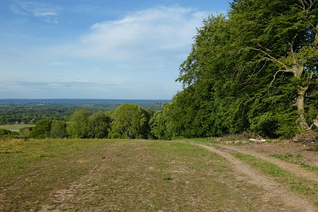
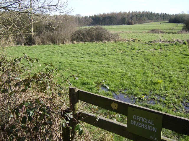
Monks Meadow Copse is a picturesque woodland located in Hampshire, England. Covering an area of approximately 20 acres, it is known for its natural beauty and diverse ecosystem. The copse is situated near the village of Monks Meadow, hence its name, and is easily accessible to visitors from nearby towns and cities.

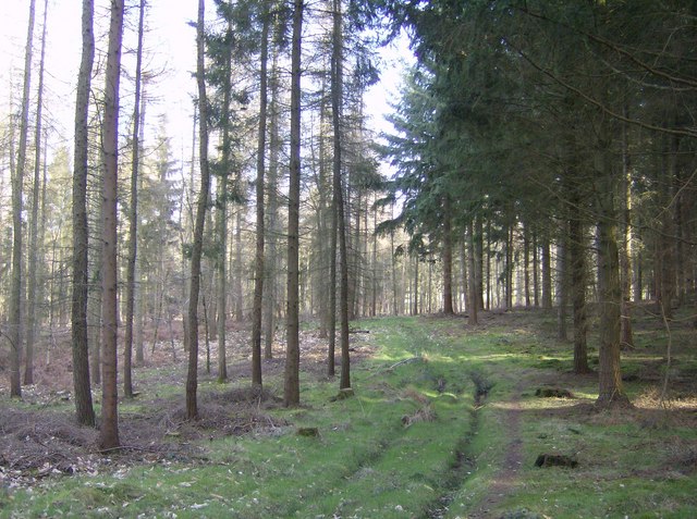
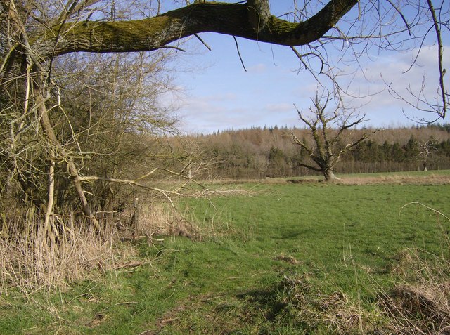
The woodland consists primarily of deciduous trees, including oak, beech, and ash, creating a vibrant canopy that changes with the seasons. The forest floor is covered with a variety of native plants and wildflowers, such as bluebells and primroses, adding to the enchanting atmosphere of the copse.

Monks Meadow Copse is home to a wide range of wildlife, making it a popular spot for nature enthusiasts and birdwatchers. Visitors may encounter various species of birds, including woodpeckers, owls, and finches, as well as small mammals like squirrels, rabbits, and foxes. The copse also provides habitat for insects, amphibians, and reptiles.

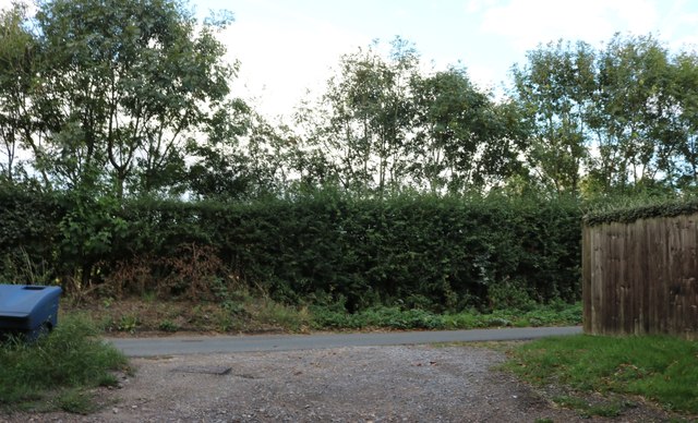
Tranquility and serenity are key features of the woodland, making it an ideal place for peaceful walks and relaxation. Several footpaths meander through the copse, allowing visitors to explore its natural wonders at their own pace. The dense foliage provides shelter and shade, creating a cool and inviting environment even during hot summer days.

Monks Meadow Copse offers a unique opportunity to immerse oneself in nature and escape the hustle and bustle of everyday life. Its natural beauty, diverse wildlife, and serene atmosphere make it a cherished location for both locals and tourists seeking a tranquil retreat.

If you have any feedback on the listing, please let us know in the comments section below.

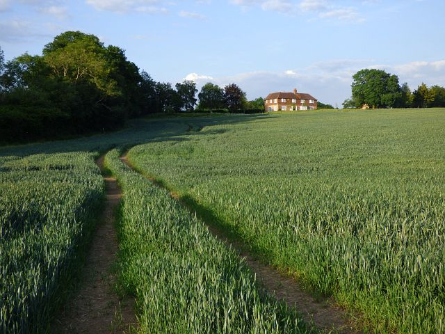
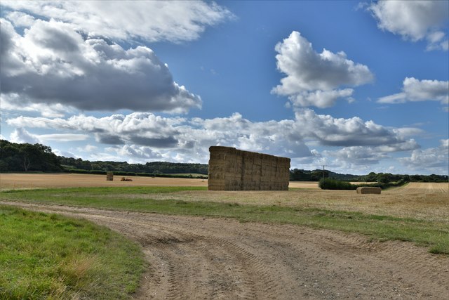
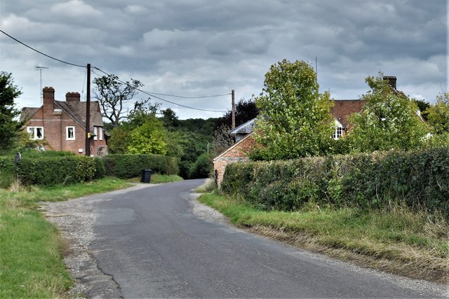
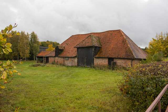
Monks Meadow Copse Images

Images are sourced within 2km of 51.342358/-1.39022 or Grid Reference SU4260. Thanks to Geograph Open Source API. All images are credited.

Fields by the A343, Hollington Cross
Houses on Highclere Street, Hollington Cross By the A343
Houses on Highclere Street, Hollington Cross
By the A343
Highclere Street, Hollington Cross
Old Milestone by the A343, near Highclere Farm, Highclere parish Carved stone post by the A343, in parish of HIGHCLERE (BASINGSTOKE AND DEANE District), near Highclere Farm, South of village, just before bridge, deep in the hedge, on West side of road. Newbury waist, erected by the Andover & Chilton Pond turnpike trust in the 18th century. 

Inscription reads:-
: NEWBURY / 5 : : SARUM / 29 (overpainted 27) / (OXFORD / 31) : : ANDOVER / 11 (overpainted 10) :

Grade II listed.  
List Entry Number: 1419228 <span class="nowrap"><a title="https://historicengland.org.uk/listing/the-list/list-entry/1419228" rel="nofollow ugc noopener" href="https://historicengland.org.uk/listing/the-list/list-entry/1419228">Link</a><img style="margin-left:2px;" alt="External link" title="External link - shift click to open in new window" src="https://s1.geograph.org.uk/img/external.png" width="10" height="10"/></span>

Milestone Society National ID: HA_NEAN05.
Old Milestone by the A343, near Highclere Farm, Highclere parish
Carved stone post by the A343, in parish of HIGHCLERE (BASINGSTOKE AND DEANE District), near Highclere Farm, South of village, just before bridge, deep in the hedge, on West side of road. Newbury waist, erected by the Andover & Chilton Pond turnpike trust in the 18th century. Inscription reads:- : NEWBURY / 5 : : SARUM / 29 (overpainted 27) / (OXFORD / 31) : : ANDOVER / 11 (overpainted 10) : Grade II listed. List Entry Number: 1419228 LinkExternal link Milestone Society National ID: HA_NEAN05.
Farmland, East Woodhay A crop of wheat to the west of Pill Hill.
Farmland, East Woodhay
A crop of wheat to the west of Pill Hill.
Highclere: Harvested agricultural land
Hollington Cross, Zell House Farm
Zell House Farm
Zell House Farm
Farmland and woodland, East Woodhay A view over the Kennet valley from the edge of Buckhanger Copse.
Farmland and woodland, East Woodhay
A view over the Kennet valley from the edge of Buckhanger Copse.
A343 towards Newbury
Wayfarer's Walk A view of the slopes of the hill used for pasture and grazing.
Wayfarer's Walk
A view of the slopes of the hill used for pasture and grazing.
In Highclere Wood Within the Highclere Estate, Highclere Wood is mainly conifers but quite thinly planted.  This area of the wood is called Ivyhouse Copse on 1:25K map, but is bigger than expected for a copse.  There is a footpath through.
In Highclere Wood
Within the Highclere Estate, Highclere Wood is mainly conifers but quite thinly planted. This area of the wood is called Ivyhouse Copse on 1:25K map, but is bigger than expected for a copse. There is a footpath through.
Footpath to Highclere estate As the footpath leaves the A343 there is immediately a diversion round woodland.  The path runs parallel to the southern edge of the wood in a very soggy pasture.  The trees in the background are also part of Highclere Wood within the square.
Footpath to Highclere estate
As the footpath leaves the A343 there is immediately a diversion round woodland. The path runs parallel to the southern edge of the wood in a very soggy pasture. The trees in the background are also part of Highclere Wood within the square.
Footpath to Highclere estate The path stays in pasture just outside woodland to the left.  Ahead Highclere Wood is part of the same continuous section of woodland within the square.
Footpath to Highclere estate
The path stays in pasture just outside woodland to the left. Ahead Highclere Wood is part of the same continuous section of woodland within the square.
Houses in Highclere The first three gables, and six ground floor windows all belong to the same property, For Sale.  The properties have all had their front doors blocked up and the houses "turned round" to face a courtyard behind.  (Note this is not a sales pitch, just what I saw when walking past!)
Houses in Highclere
The first three gables, and six ground floor windows all belong to the same property, For Sale. The properties have all had their front doors blocked up and the houses "turned round" to face a courtyard behind. (Note this is not a sales pitch, just what I saw when walking past!)
Footpath in Highclere estate The footpath, still in pasture following the edge of the wood, crosses a small stream on this footbridge.
Footpath in Highclere estate
The footpath, still in pasture following the edge of the wood, crosses a small stream on this footbridge.
Highclere Wood This section is called Ivyhouse Copse on the 1:25K map, but it is more extensive than that.  There is a stiffish climb up from the open pasture behind, although it looks flat here!
Highclere Wood
This section is called Ivyhouse Copse on the 1:25K map, but it is more extensive than that. There is a stiffish climb up from the open pasture behind, although it looks flat here!
Show me another place!

Monks Meadow Copse is located at Grid Ref: SU4260 (Lat: 51.342358, Lng: -1.39022)

Administrative County: Hampshire

District: Basingstoke and Deane

Police Authority: Hampshire

What 3 Words

///spruced.sorry.starts. Near Highclere, Hampshire

Related Wikis

Woolton Hill

Woolton Hill is a village in Hampshire, England, in the civil parish of East Woodhay. The village lies approximately 4 miles (6 km) south-west of the centre...

Highclere

Highclere (pronounced ) is a village and civil parish situated in the North Wessex Downs (an Area of Outstanding Natural Beauty) in the Basingstoke and...

Gainsborough Stud

Gainsborough Stud is a stud farm based in Woolton Hill, Hampshire, 3 miles (4.8 km) outside Newbury. It is owned by United Arab Emirates-based international...

Stargroves

Stargroves (also known as Stargrove House) is a manor house and associated estate at East Woodhay in the English county of Hampshire. The house belonged...

East Woodhay

East Woodhay is a village and civil parish in Hampshire, England. The village is approximately 5.5 miles (9 km) south-west of Newbury in Berkshire. At...

Penwood

Penwood is a village in the civil parish of Highclere in the Basingstoke and Deane district of Hampshire, England. Its nearest town is Newbury, which lies...

Highclere Castle

Highclere Castle is a Grade I listed country house built in 1679 and largely renovated in the 1840s, with a park designed by Capability Brown in the 18th...

Pilot Hill, Hampshire

Pilot Hill is the highest summit in Hampshire, England, with a maximum elevation of 286 m (938 ft). It lies around 2 miles (3.2 km) to the south-east of...

Nearby Amenities

Located within 500m of 51.342358,-1.39022
Barrier: stile
Lat/Long: 51.340387/-1.3946743
Barrier: stile
Foot: yes
Lat/Long: 51.3387367/-1.3868691
The data included in this document is from www.openstreetmap.org. The data is made available under ODbL.

Have you been to Monks Meadow Copse?

Leave your review of Monks Meadow Copse below (or comments, questions and feedback).