Dinham

Settlement in Monmouthshire

Wales

Dinham

Vine Tree Cottage, Caerwent On the east side of School Lane near the Pound Lane junction.
Vine Tree Cottage, Caerwent Credit: Jaggery

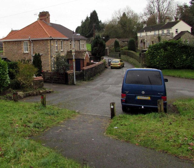
Dinham is a small village located in Monmouthshire, Wales. Situated on the banks of the River Wye, it is nestled amidst the picturesque countryside, offering stunning views and a serene atmosphere. With a population of around 500 residents, the village exudes a close-knit community feel.

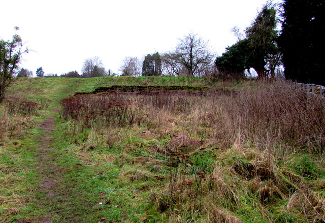
The village is rich in history, with origins dating back to the Roman era. Ruins of a Roman villa have been discovered in the vicinity, indicating the area's ancient significance. Additionally, remnants of a medieval castle, known as Dinham Castle, can still be seen. This historic site attracts visitors interested in exploring the region's past.

Nature enthusiasts are drawn to Dinham due to its proximity to the Wye Valley Area of Outstanding Natural Beauty. The village provides easy access to scenic walking and cycling trails, making it an ideal destination for outdoor pursuits. The river itself offers opportunities for fishing, canoeing, and other water activities.

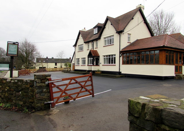
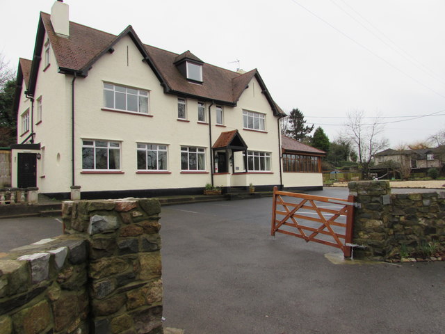
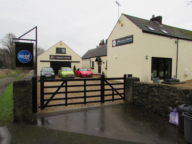
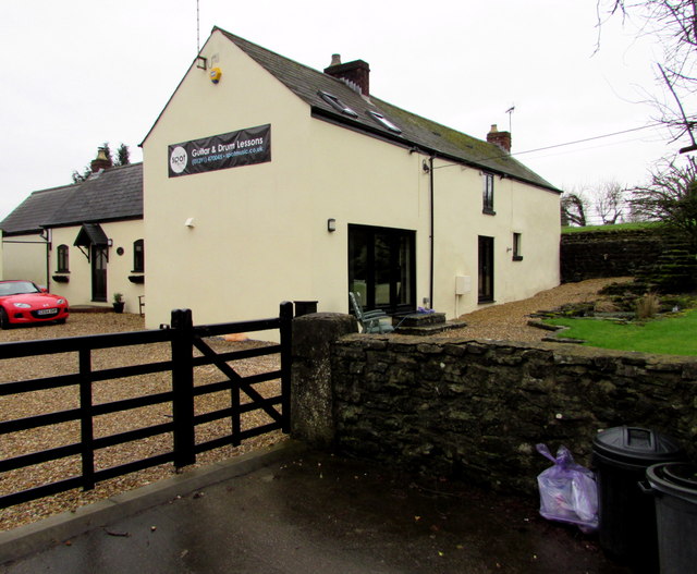
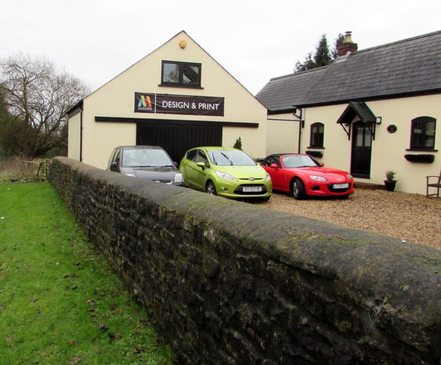
Although small, Dinham is well-served by amenities. The village boasts a community center, a primary school, and a local pub, providing essential services and opportunities for social interaction. Additionally, nearby towns such as Monmouth and Ross-on-Wye offer a range of shops, restaurants, and cultural attractions within a short distance.

Overall, Dinham is a tranquil and historic village, nestled in the beautiful Monmouthshire countryside. With its rich history, natural surroundings, and friendly community, it offers a peaceful retreat for residents and visitors alike.

If you have any feedback on the listing, please let us know in the comments section below.
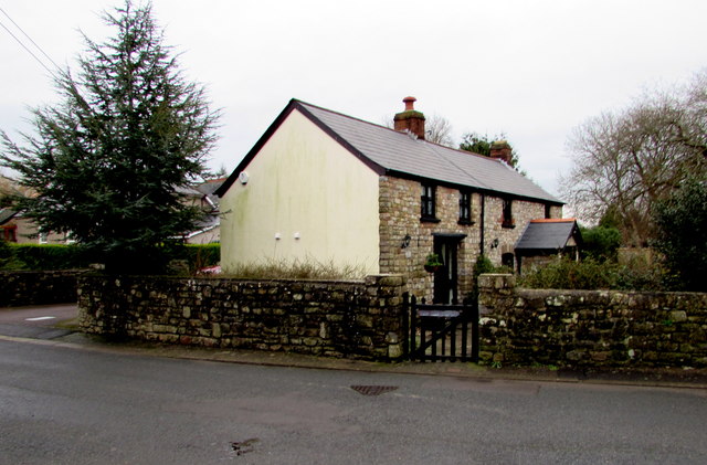
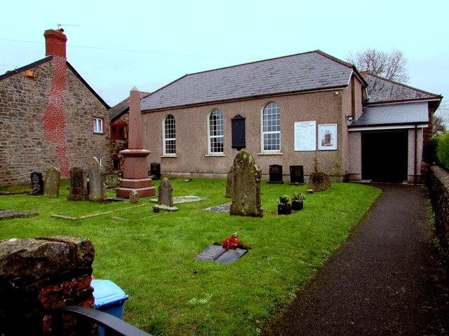
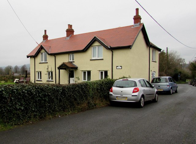
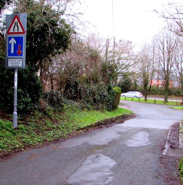
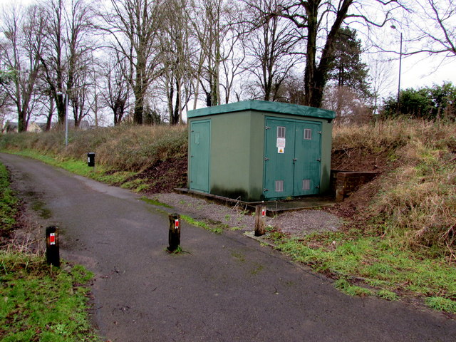
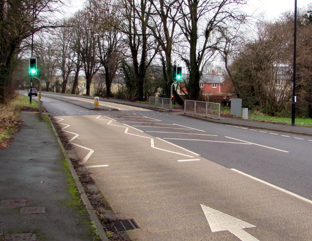
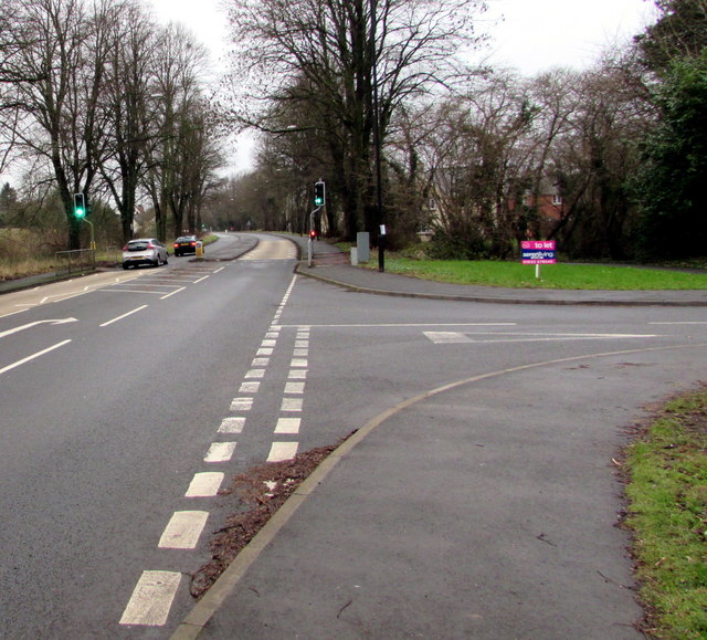
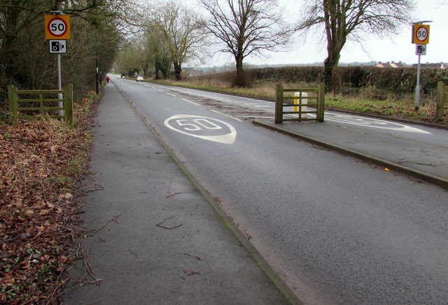
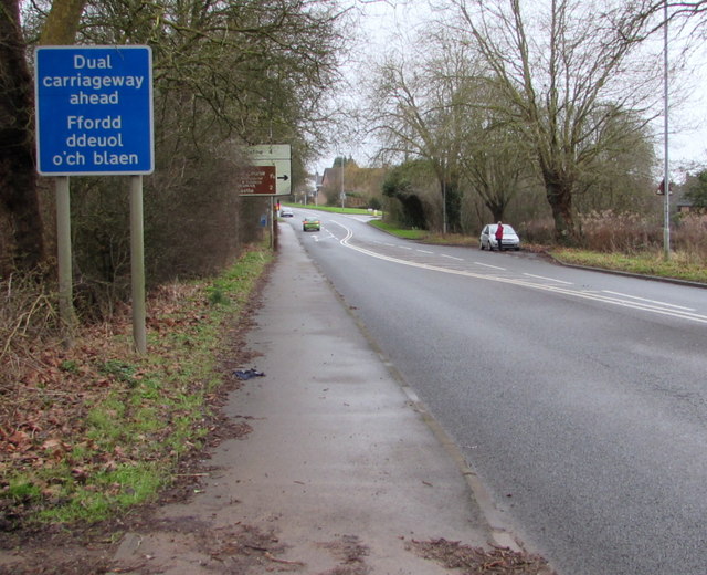
Dinham Images

Images are sourced within 2km of 51.626404/-2.755956 or Grid Reference ST4792. Thanks to Geograph Open Source API. All images are credited.

Vine Tree Cottage, Caerwent On the east side of School Lane near the Pound Lane junction.
Vine Tree Cottage, Caerwent
On the east side of School Lane near the Pound Lane junction.
Chapel and burial ground, Caerwent Caerwent Evangelical Baptist Chapel is on the east side of School Lane, about 100 metres south of the A48.
The chapel's website states that the chapel has been a place of worship since 1815.
Chapel and burial ground, Caerwent
Caerwent Evangelical Baptist Chapel is on the east side of School Lane, about 100 metres south of the A48. The chapel's website states that the chapel has been a place of worship since 1815.
Bumble Bee Cottage, Caerwent On the west side of School Lane, opposite Caerwent Evangelical Baptist Chapel. <a title="https://www.geograph.org.uk/photo/4806137" href="https://www.geograph.org.uk/photo/4806137">Link</a>
Bumble Bee Cottage was formerly named Widows Cottage.
Bumble Bee Cottage, Caerwent
On the west side of School Lane, opposite Caerwent Evangelical Baptist Chapel. Link Bumble Bee Cottage was formerly named Widows Cottage.
Road signs near the northern end of School Lane, Caerwent Road narrows and priority over oncoming vehicles signs are on the approach to the A48.
Road signs near the northern end of School Lane, Caerwent
Road narrows and priority over oncoming vehicles signs are on the approach to the A48.
Northgate House B&B, Caerwent Guesthouse set back from the south side of the A48, viewed in January 2016.
This was the Northgate Inn <a title="https://www.geograph.org.uk/photo/2803701" href="https://www.geograph.org.uk/photo/2803701">Link</a> in March 2011.
Northgate House B&B, Caerwent
Guesthouse set back from the south side of the A48, viewed in January 2016. This was the Northgate Inn Link in March 2011.
Guesthouse formerly a pub, Caerwent In January 2016, this is Northgate House, a bed & breakfast guesthouse set back from the south side of the A48. This was the Northgate Inn <a title="https://www.geograph.org.uk/photo/2803701k" href="https://www.geograph.org.uk/photo/2803701k">Link</a> in March 2011.
Guesthouse formerly a pub, Caerwent
In January 2016, this is Northgate House, a bed & breakfast guesthouse set back from the south side of the A48. This was the Northgate Inn Link in March 2011.
Two businesses alongside the A48, Caerwent That Media Group head office <a title="https://www.geograph.org.uk/photo/4806187" href="https://www.geograph.org.uk/photo/4806187">Link</a> is on the left. 
Spot Music (guitar and drums lessons) on the right. <a title="https://www.geograph.org.uk/photo/4806179" href="https://www.geograph.org.uk/photo/4806179">Link</a>
Two businesses alongside the A48, Caerwent
That Media Group head office Link is on the left. Spot Music (guitar and drums lessons) on the right. Link
Green Lane Studio, Caerwent Premises of Spot Music, on the south side of the A48. 
Spot Music provides professional guitar, drum, bass and music theory tuition.
Green Lane Studio, Caerwent
Premises of Spot Music, on the south side of the A48. Spot Music provides professional guitar, drum, bass and music theory tuition.
That Media Group head office, Caerwent Located in Green Lane Studio on the south side of the A48. The company website states
"That Media Group provides consultancy in design, marketing, print and web. We’ll see the whole picture
and take you through from design concepts to marketing strategy to printed materials to web presence".
That Media Group head office, Caerwent
Located in Green Lane Studio on the south side of the A48. The company website states "That Media Group provides consultancy in design, marketing, print and web. We’ll see the whole picture and take you through from design concepts to marketing strategy to printed materials to web presence".
Track past an Ancient Roman wall, Caerwent Viewed from a gate on the south side of the A48. The wall is one of many remnants of the Ancient Roman town of Venta Silurum to be seen in Caerwent. Venta was set up by the Romans in 75 AD as an administrative centre for the defeated Silures tribe.
Track past an Ancient Roman wall, Caerwent
Viewed from a gate on the south side of the A48. The wall is one of many remnants of the Ancient Roman town of Venta Silurum to be seen in Caerwent. Venta was set up by the Romans in 75 AD as an administrative centre for the defeated Silures tribe.
Gas installation below the A48 in Caerwent The large green box is a Wales & West Utilities gas installation.
The small green bin is for dog waste only - no litter.
The A48 is above the grassy bank.
Gas installation below the A48 in Caerwent
The large green box is a Wales & West Utilities gas installation. The small green bin is for dog waste only - no litter. The A48 is above the grassy bank.
Dinham Road, Caerwent On the north side of the A48.
Dinham Road, Caerwent
On the north side of the A48.
Wales & West Utilities gas installation, Caerwent Alongside a footpath at the bottom of a bank below the A48. On a door, an EX 
in a black-lined yellow triangle indicates a potentially explosive atmosphere - smoking prohibited.
Wales & West Utilities gas installation, Caerwent
Alongside a footpath at the bottom of a bank below the A48. On a door, an EX in a black-lined yellow triangle indicates a potentially explosive atmosphere - smoking prohibited.
A48 pelican crossing near Dinham Road, Caerwent Viewed along the A48 from opposite the Dinham Road junction. <a title="https://www.geograph.org.uk/photo/4806210" href="https://www.geograph.org.uk/photo/4806210">Link</a>
Chambers Dictionary states that "pelican" is adapted from "pedestrian light controlled crossing".
A48 pelican crossing near Dinham Road, Caerwent
Viewed along the A48 from opposite the Dinham Road junction. Link Chambers Dictionary states that "pelican" is adapted from "pedestrian light controlled crossing".
Junction of the A48 and Dinham Road, Caerwent The A48 towards Newport passes the right turn into Dinham Road. <a title="https://www.geograph.org.uk/photo/4806210" href="https://www.geograph.org.uk/photo/4806210">Link</a>
Junction of the A48 and Dinham Road, Caerwent
The A48 towards Newport passes the right turn into Dinham Road. Link
Blocked off northern end of an unnamed road in Caerwent Viewed from the A48 in January 2016. This looks like it used to be a through route to the A48 for motor vehicles. 
I saw no road name signs nearby, nor is this blocked-off road named on maps I've consulted.
Blocked off northern end of an unnamed road in Caerwent
Viewed from the A48 in January 2016. This looks like it used to be a through route to the A48 for motor vehicles. I saw no road name signs nearby, nor is this blocked-off road named on maps I've consulted.
50 on the main road through Caerwent 50mph speed limit on the A48.
50 on the main road through Caerwent
50mph speed limit on the A48.
Dual carriageway ahead, Caerwent The bilingual (English and Welsh) blue sign faces the A48, the main road through Caerwent.
Dual carriageway ahead, Caerwent
The bilingual (English and Welsh) blue sign faces the A48, the main road through Caerwent.
Show me another place!

Dinham is located at Grid Ref: ST4792 (Lat: 51.626404, Lng: -2.755956)

Unitary Authority: Monmouthshire

Police Authority: Gwent

What 3 Words

///noodle.scrapped.trying. Near Caerwent, Monmouthshire

Related Wikis

Shirenewton Hall

Shirenewton Hall, originally Shirenewton Court, is a country house and estate adjoining the village of Shirenewton, Monmouthshire, Wales, about 3 miles...

Caerwent Training Area

Caerwent Training Area is a British military installation at Caerwent, Monmouthshire, Wales. The large military site is situated north of the A48 road...

Church of St Thomas a Becket, Shirenewton

The Church of St Thomas a Becket is located in Shirenewton, Monmouthshire, Wales. In the late 12th century the land was inherited by Henry de Bohun. The...

Shirenewton

Shirenewton (Welsh: Drenewydd Gelli-farch) is a village and community in Monmouthshire, south east Wales. It is located 3 miles due west of Chepstow,...

Caerwent

Caerwent (Welsh: Caer-went) is a village and community in Monmouthshire, Wales. It is located about five miles west of Chepstow and 11 miles east of Newport...

Runston Chapel

Runston Chapel, Mathern, Monmouthshire, Wales, is the ruin of a chapel dating back to the early 12th century. It is the only remaining visible remnant...

Crick, Monmouthshire

Crick (Welsh: Crug) is a small village or hamlet in the Welsh county of Monmouthshire, United Kingdom. It is located on the A48 road 1 mile north of the...
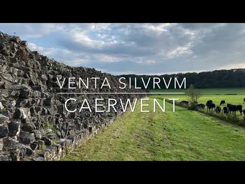
Venta Silurum

Venta Silurum was a town in Roman Britain (Britannia). Today it consists of remains in the village of Caerwent in Monmouthshire, south east Wales. Much...

Related Videos

Caerwent roman town #Wales #history

The roman town of Venta Silurum “The market place of the Silurures” one of the best roman sites to visit in the UK.

Do As the Romans Did - Usk and Caerwent Walks in Wales

A wander around the Ancient Roman and Silures towns of Usk and Caerwent, looking at ruins as well as what the towns look like ...

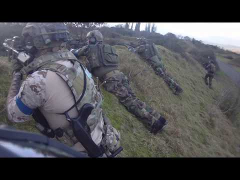
Operation Saber Tooth - Black Emerald Tactical Part 2 - RAF Caerwent - Dragon Valley Airsoft

If you like this video hit the like and subscribe button Instagram page: https://www.instagram.com/Callsign_e04 ...

Operation Saber Tooth - Black Emerald Tactical Part 1 - RAF Caerwent - Dragon Valley Airsoft

If you like this video hit the like and subscribe button Instagram page: https://www.instagram.com/Callsign_e04 ...

Nearby Amenities

Located within 500m of 51.626404,-2.755956
Mini Roundabout
Direction: clockwise
Lat/Long: 51.622232/-2.7550152
The data included in this document is from www.openstreetmap.org. The data is made available under ODbL.

Have you been to Dinham?

Leave your review of Dinham below (or comments, questions and feedback).