Marsh Copse
Wood, Forest in Wiltshire New Forest
England
Marsh Copse
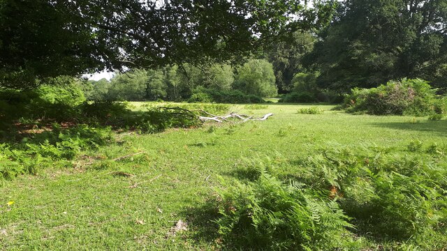
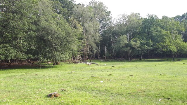
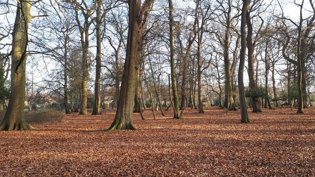
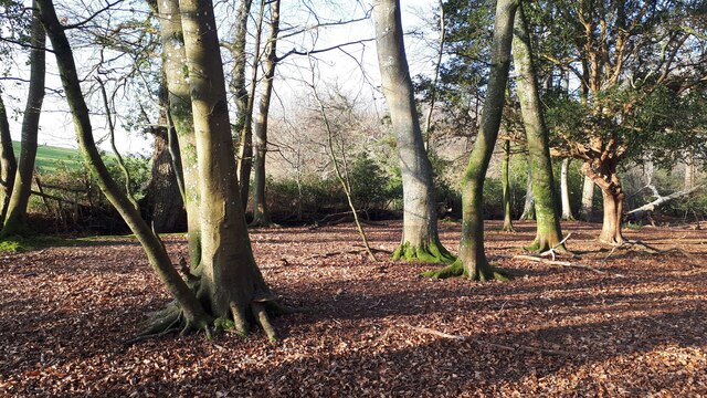
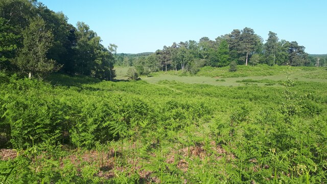
Marsh Copse is a woodland located in the county of Wiltshire, England. Situated near the village of Marlborough, it covers an area of approximately 20 hectares. The copse is predominantly composed of deciduous trees, including oak, ash, and beech, creating a diverse and vibrant woodland ecosystem.
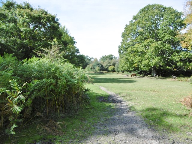
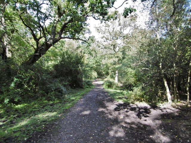
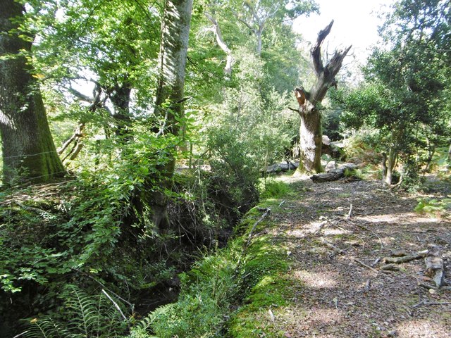
The topography of Marsh Copse is characterized by gently undulating terrain, with some areas featuring small streams and wetland habitats. This varied landscape provides a rich environment for a wide range of flora and fauna to thrive. The woodland floor is covered with an array of wildflowers, such as bluebells and primroses, which create a colorful carpet during springtime.
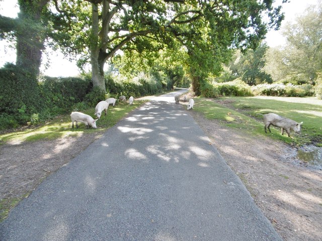
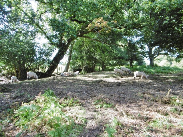
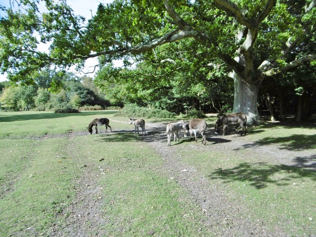
The copse is a haven for wildlife, attracting numerous species of birds, including woodpeckers, owls, and warblers. Mammals such as roe deer, foxes, and badgers also call Marsh Copse their home. The diverse range of habitats within the woodland provides ample food and shelter for these creatures.
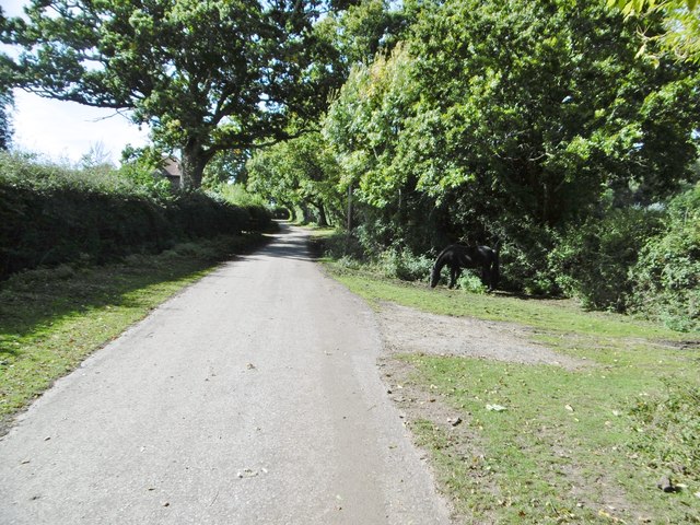
Marsh Copse is a popular destination for nature enthusiasts and walkers alike. Numerous footpaths and trails meander through the woodland, allowing visitors to explore its natural beauty. The tranquil atmosphere and peaceful surroundings make it an ideal spot for relaxation and contemplation.
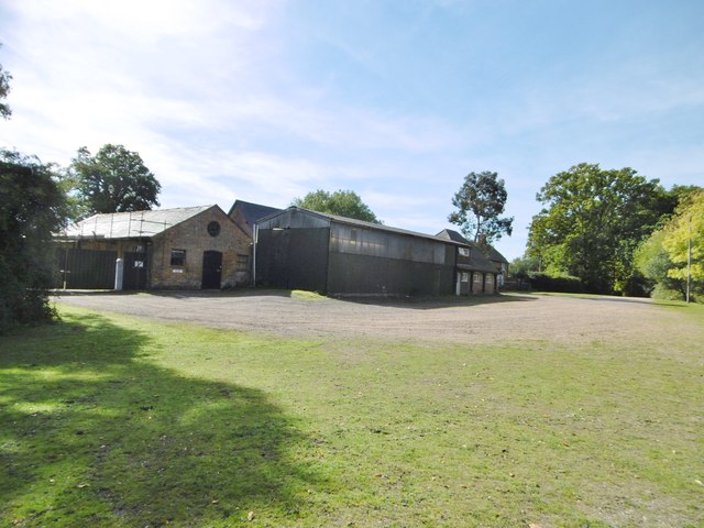
The copse is managed by the local authorities in conjunction with conservation organizations to ensure its preservation and protection. Regular maintenance activities take place to maintain the health and vitality of the woodland, including tree planting and invasive species control.
In conclusion, Marsh Copse is a picturesque woodland in Wiltshire, offering a sanctuary for wildlife and a serene getaway for visitors seeking to connect with nature. Its diverse flora and fauna, combined with its accessibility and management efforts, make it a valuable natural asset to the local community and beyond.
If you have any feedback on the listing, please let us know in the comments section below.
Marsh Copse Images
Images are sourced within 2km of 50.937146/-1.60572 or Grid Reference SU2715. Thanks to Geograph Open Source API. All images are credited.

Marsh Copse is located at Grid Ref: SU2715 (Lat: 50.937146, Lng: -1.60572)
Administrative County: Hampshire
District: New Forest
Police Authority: Hampshire
What 3 Words
///tones.smooth.standards. Near Cadnam, Hampshire
Nearby Locations
Related Wikis

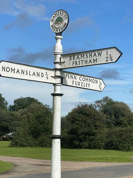
Bramshaw
Bramshaw is a small village and civil parish in Hampshire, England. It lies just inside the New Forest. The name Bramshaw means Bramble Wood. Until 1895...

Brook, New Forest
Brook is a hamlet in the civil parish of Bramshaw, in Hampshire, England. It lies just inside the New Forest. The hamlet contains a mix of 18th and 19th...

Landford Heath
Landford Heath (grid reference SU265178) is an 11.75 hectare biological Site of Special Scientific Interest near Landford in southeast Wiltshire, England...

Copythorne
Copythorne is a village and civil parish in Hampshire, England, within the boundaries of the New Forest National Park. == Overview == Copythorne is in...

Bartley Lodge
Bartley Lodge is a country house near Cadnam in Hampshire, England, within the boundaries of the New Forest National Park. It was built in the 18th century...

Copythorne Common
Copythorne Common is a 17-hectare (42-acre) nature reserve west of Southampton in Hampshire. It is managed by the Hampshire and Isle of Wight Wildlife...

Nomansland, Wiltshire
Nomansland is a small village in Wiltshire, England, close to the county border with Hampshire. It is part of the parish of Landford and lies about 3.5...
Upper Canterton
Upper Canterton is a village in Hampshire, England, located at 50°54′36″N 1°37′24″W. It is near Minstead. == References == The geographic coordinates are...
Nearby Amenities
Located within 500m of 50.937146,-1.60572Have you been to Marsh Copse?
Leave your review of Marsh Copse below (or comments, questions and feedback).