Cymmer
Settlement in Glamorgan
Wales
Cymmer

The requested URL returned error: 429 Too Many Requests
If you have any feedback on the listing, please let us know in the comments section below.
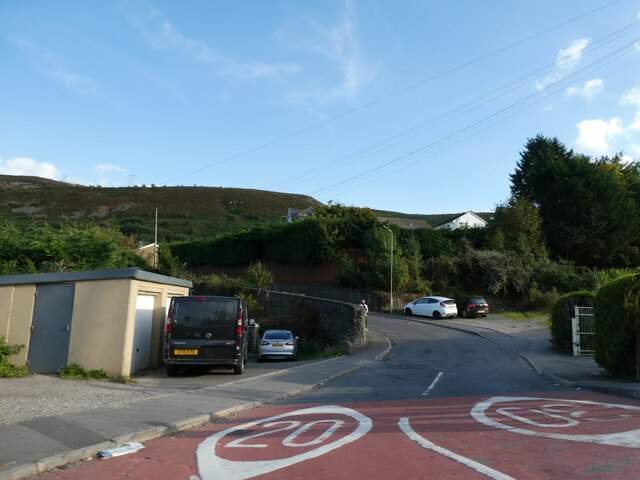
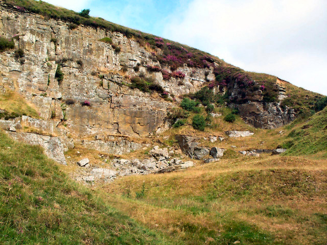
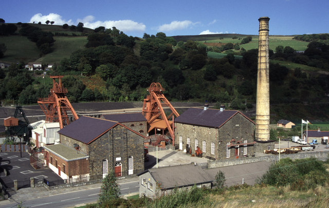
Cymmer Images
Images are sourced within 2km of 51.606586/-3.4099358 or Grid Reference ST0290. Thanks to Geograph Open Source API. All images are credited.


Cymmer is located at Grid Ref: ST0290 (Lat: 51.606586, Lng: -3.4099358)
Unitary Authority: Rhondda Cynon Taf
Police Authority: South Wales
Also known as: Y Cymmer
What 3 Words
///chains.ozone.dignify. Near Porth, Rhondda Cynon Taf
Related Wikis

Porth Community School
Porth Community School is a Community School located in the county borough of Rhondda Cynon Taf, Wales. The school was formed in 1973 by the amalgamation...
Ysgol Gyfun Cwm Rhondda
Ysgol Gyfun Cwm Rhondda (English: Cwm Rhondda Secondary School) is a Welsh-medium secondary school located in the county borough of Rhondda Cynon Taf,...
Glynfach
Glynfach (Welsh for 'small valley') is a district of the community and electoral ward of Cymmer, within the town of Porth, Rhondda Cynon Taf. There are...

Cymmer Colliery explosion
The Cymmer Colliery explosion occurred in the early morning of 15 July 1856 at the Old Pit mine of the Cymmer Colliery near Porth (lower Rhondda Valley...
Nearby Amenities
Located within 500m of 51.606586,-3.4099358Have you been to Cymmer?
Leave your review of Cymmer below (or comments, questions and feedback).