Middle Dean Wood

Wood, Forest in Yorkshire

England

Middle Dean Wood

Willow pony A willow sculpture of what appears to be a Dales pony at Hardcastle Crags.
Willow pony Credit: Kathleen Illingworth

Middle Dean Wood is a picturesque woodland located in the county of Yorkshire, England. Stretching over an area of approximately 100 acres, it is a popular destination for nature enthusiasts and outdoor enthusiasts alike. The wood is part of the larger Dean Wood complex, which includes Upper and Lower Dean Woods.

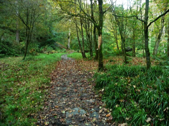
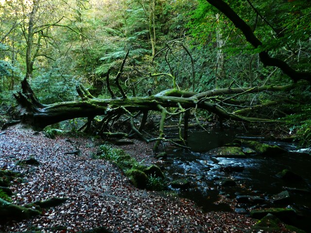
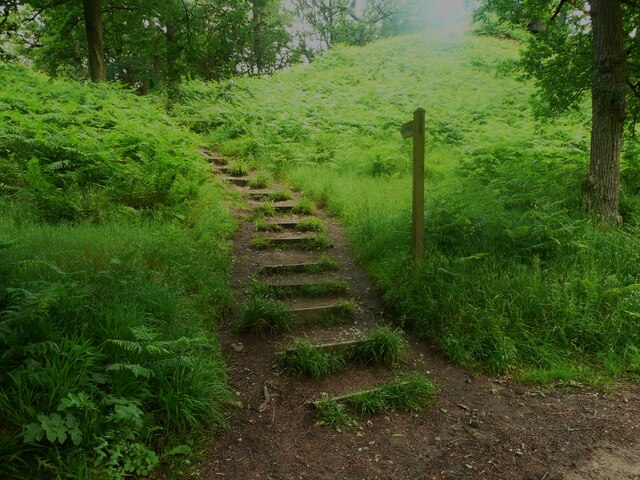
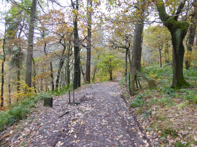
Middle Dean Wood is characterized by its diverse range of flora and fauna, offering visitors a unique opportunity to explore and appreciate the natural beauty of the area. The wood is predominantly made up of deciduous trees such as oak, birch, and beech, which provide a stunning display of colors during the autumn months. The forest floor is carpeted with an array of wildflowers, including bluebells and primroses, creating a vibrant and enchanting atmosphere.

The wood is home to a variety of wildlife, including deer, foxes, and numerous species of birds. Birdwatchers will be delighted to spot woodpeckers, owls, and various songbirds that inhabit the area. The tranquil surroundings make it an ideal spot for birdwatching and wildlife photography.

Visitors to Middle Dean Wood can enjoy a range of activities, including walking, hiking, and picnicking. There are well-maintained trails that wind through the wood, providing an opportunity to explore its hidden corners and discover its natural wonders. The wood is also a great place for children to learn about the local ecosystem and engage in outdoor education.

Overall, Middle Dean Wood offers a peaceful retreat from the hustle and bustle of everyday life, providing visitors with an opportunity to connect with nature and enjoy the beauty of Yorkshire's woodlands.

If you have any feedback on the listing, please let us know in the comments section below.

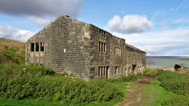
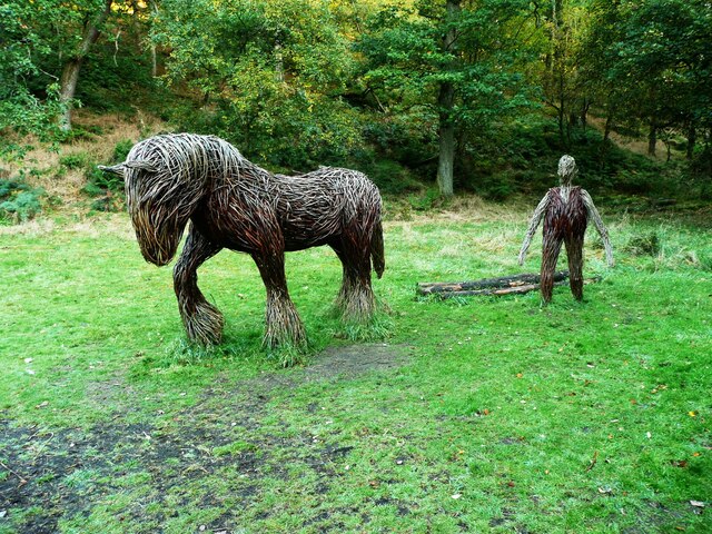
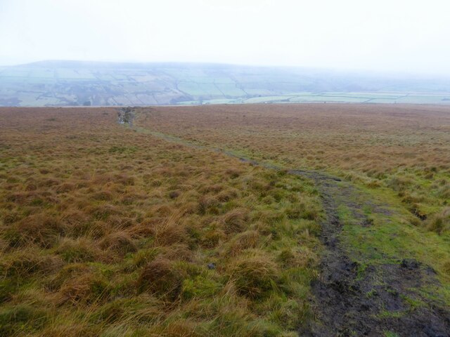
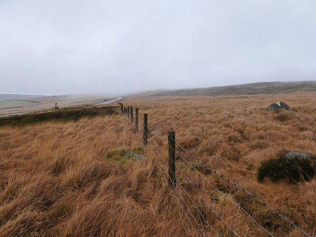
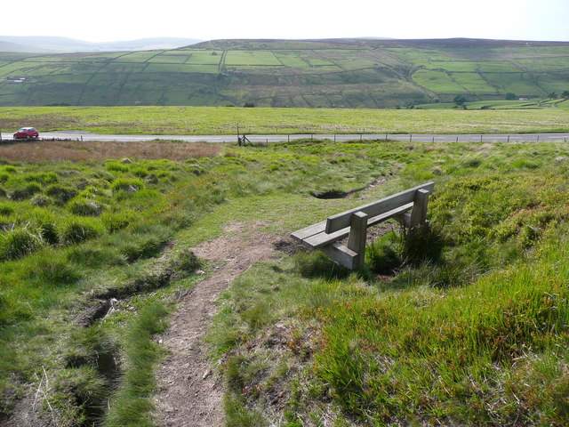
Middle Dean Wood Images

Images are sourced within 2km of 53.76428/-2.0163157 or Grid Reference SD9929. Thanks to Geograph Open Source API. All images are credited.

Willow pony A willow sculpture of what appears to be a Dales pony at Hardcastle Crags.
Willow pony
A willow sculpture of what appears to be a Dales pony at Hardcastle Crags.
Abel Cross A pair of wayside marker stones on the slopes above Crimsworth Dean
Abel Cross
A pair of wayside marker stones on the slopes above Crimsworth Dean
Helliwell Wood Farmhouse In Crimsworth Dean
Helliwell Wood Farmhouse
In Crimsworth Dean
Barker Cote Farmhouse Converted to residential
Barker Cote Farmhouse
Converted to residential
Aqueduct in Crimsworth Dean The aqueduct connects a dam on the west side of Bridge Clough with one on the east. These dams connect with ones lower down the valley and all appeared to service Midgehole Dye Works
Aqueduct in Crimsworth Dean
The aqueduct connects a dam on the west side of Bridge Clough with one on the east. These dams connect with ones lower down the valley and all appeared to service Midgehole Dye Works
Nook Farmhouse Named Nook on modern OS maps but originally Upper Sunny Bank Farmhouse with a lower Sunny Bank nearby
Nook Farmhouse
Named Nook on modern OS maps but originally Upper Sunny Bank Farmhouse with a lower Sunny Bank nearby
Weir on Hebden Water, Hardcastle Crags
Rock outcrop, Hardcastle Crags
Path on a flat valley Floor, Hardcastle Crags This is on the Green Route.  In some places the valley is V-shaped  with little space each side of the river, and in some places it is quite wide and flat.
Path on a flat valley Floor, Hardcastle Crags
This is on the Green Route. In some places the valley is V-shaped with little space each side of the river, and in some places it is quite wide and flat.
Fallen tree across Hebden Water, Hardcastle Crags This tree makes a 'leaky dam' to help to slow flood flows to reduce flooding in Hebden Bridge downstream. This looks to have occurred naturally, but some trees trunks and poles have been placed across the river that will form dams when floating debris has lodged on them.
Fallen tree across Hebden Water, Hardcastle Crags
This tree makes a 'leaky dam' to help to slow flood flows to reduce flooding in Hebden Bridge downstream. This looks to have occurred naturally, but some trees trunks and poles have been placed across the river that will form dams when floating debris has lodged on them.
Willow sculptures, Hardcastle Crags A carthorse and a farmer.
Willow sculptures, Hardcastle Crags
A carthorse and a farmer.
Path to the crags, Hardcastle crags
Leaving National Trust Walshaw Wood On the track to Over Wood in Hebden Dale where a gate and two stones mark the change from National Trust to Savile lands. The stones are marked NT and one side and S on the reverse.
Leaving National Trust Walshaw Wood
On the track to Over Wood in Hebden Dale where a gate and two stones mark the change from National Trust to Savile lands. The stones are marked NT and one side and S on the reverse.
Small Shaw Lane Descending into Crimsworth Dean and approaching the first of two hairpin bends to reach the valley bottom
Small Shaw Lane
Descending into Crimsworth Dean and approaching the first of two hairpin bends to reach the valley bottom
Small Shaw Lane Descending into Crimsworth Dean and approaching the second of two hairpin bends to reach the valley bottom
Small Shaw Lane
Descending into Crimsworth Dean and approaching the second of two hairpin bends to reach the valley bottom
Limers Gate The bridleway descending off Naze Hill towards the A6033 Hebden Bridge Road
Limers Gate
The bridleway descending off Naze Hill towards the A6033 Hebden Bridge Road
Robin Delph Flat Rough moorland rising up to Clattering Edge from a disused quarry. There is a gate behind the camera through the fence line in this open access land.
Robin Delph Flat
Rough moorland rising up to Clattering Edge from a disused quarry. There is a gate behind the camera through the fence line in this open access land.
Seat on Limers Gate Overlooking the junction with the A6033 and the Crimsworth Dean valley.
Seat on Limers Gate
Overlooking the junction with the A6033 and the Crimsworth Dean valley.
Show me another place!

Middle Dean Wood is located at Grid Ref: SD9929 (Lat: 53.76428, Lng: -2.0163157)

Division: West Riding

Unitary Authority: Calderdale

Police Authority: West Yorkshire

What 3 Words

///requests.tweezers.ribcage. Near Hebden Bridge, West Yorkshire

Related Wikis

Wainsgate Baptist Church

Wainsgate Baptist Church is a redundant chapel standing in an elevated position above the town of Hebden Bridge, West Yorkshire, England (grid reference...

Old Town, West Yorkshire

Old Town is a village in Calderdale, West Yorkshire, England. It is situated on a hilltop above Hebden Bridge and across the Hebden valley from Heptonstall...

Hardcastle Crags

Hardcastle Crags is a wooded Pennine valley in West Yorkshire, England, owned by the National Trust. Historically part of the West Riding of Yorkshire...

Heptonstall

Heptonstall is a small village and civil parish within the Calderdale borough of West Yorkshire, England, historically part of the West Riding of Yorkshire...

Wadsworth, West Yorkshire

Wadsworth is a civil parish in the Metropolitan Borough of Calderdale in West Yorkshire, England. It has a population of 1,456, increasing to 1,603 at...

Hepton Rural District

Hepton was a rural district in the West Riding of Yorkshire, England, from 1894 to 1974. The district included four civil parishes: Heptonstall, Blackshaw...

Chiserley

Chiserley is a hamlet located on a hilltop near the town of Hebden Bridge, in the county of West Yorkshire, England. The Hamlet falls within the Calder...

Birchcliffe Baptist Church

Birchcliffe Baptist Church is a redundant Baptist chapel in the town of Hebden Bridge, West Yorkshire, England. It was founded by Daniel Taylor in 1764...

Nearby Amenities

Located within 500m of 53.76428,-2.0163157
Bus Stop
Keighley Road Crimsworth Lane
Local Ref: 45020906
Naptan AtcoCode: 450020906
Naptan Bearing: SE
Naptan CommonName: Keighley Road Crimsworth Lane
Naptan Crossing: Crimsworth Lane
Naptan Indicator: Stop 45020906
Naptan PlusbusZoneRef: LEEDS
Naptan ShortCommonName: Crimsworth Lane
Naptan Street: Keighley Road
Naptan Verified: no
Source: naptan_import
Lat/Long: 53.7648579/-2.0098607
Bus Stop
Keighley Road Pecket Well
Local Ref: 45020907
Naptan AtcoCode: 450020907
Naptan Bearing: N
Naptan CommonName: Keighley Road Pecket Well
Naptan Crossing: Purprise Lane
Naptan Indicator: Stop 45020907
Naptan PlusbusZoneRef: LEEDS
Naptan ShortCommonName: Purprise Lane
Naptan Street: Keighley Road
Naptan Verified: no
Source: naptan_import
Lat/Long: 53.7667094/-2.0108017
Bus Stop
Keighley Road Crimsworth Lane
Local Ref: 45051047
Naptan AtcoCode: 450051047
Naptan Bearing: NW
Naptan BusStopType: CUS
Naptan CommonName: Keighley Road Crimsworth Lane
Naptan Crossing: Crimsworth Lane
Naptan Indicator: Stop 45051047
Naptan PlusbusZoneRef: LEEDS
Naptan ShortCommonName: Higher Crimsworth
Naptan Street: Keighley Road
Naptan Verified: no
Source: naptan_import
Lat/Long: 53.7648219/-2.0099972
Bus Stop
Keighley Road Purprise Lane
Local Ref: 45051048
Naptan AtcoCode: 450051048
Naptan Bearing: S
Naptan BusStopType: CUS
Naptan CommonName: Keighley Road Purprise Lane
Naptan Crossing: Purpise Lane
Naptan Indicator: Stop 45051048
Naptan PlusbusZoneRef: LEEDS
Naptan ShortCommonName: Purprise Lane
Naptan Street: Keighley Road
Naptan Verified: no
Source: naptan_import
Lat/Long: 53.7667454/-2.0106197
Barrier: stile
Lat/Long: 53.7623931/-2.0114852
Barrier: stile
Lat/Long: 53.7627316/-2.0097235
Bench
Source: survey;gps
Lat/Long: 53.7651107/-2.0208125
Power: pole
Lat/Long: 53.7609328/-2.0199367
Power: pole
Lat/Long: 53.7613181/-2.0219189
The data included in this document is from www.openstreetmap.org. The data is made available under ODbL.

Have you been to Middle Dean Wood?

Leave your review of Middle Dean Wood below (or comments, questions and feedback).