Cross Hill

Settlement in Yorkshire

England

Cross Hill

Drury Lane footpath, Stainland
Drury Lane footpath, Stainland Credit: Chris Wimbush

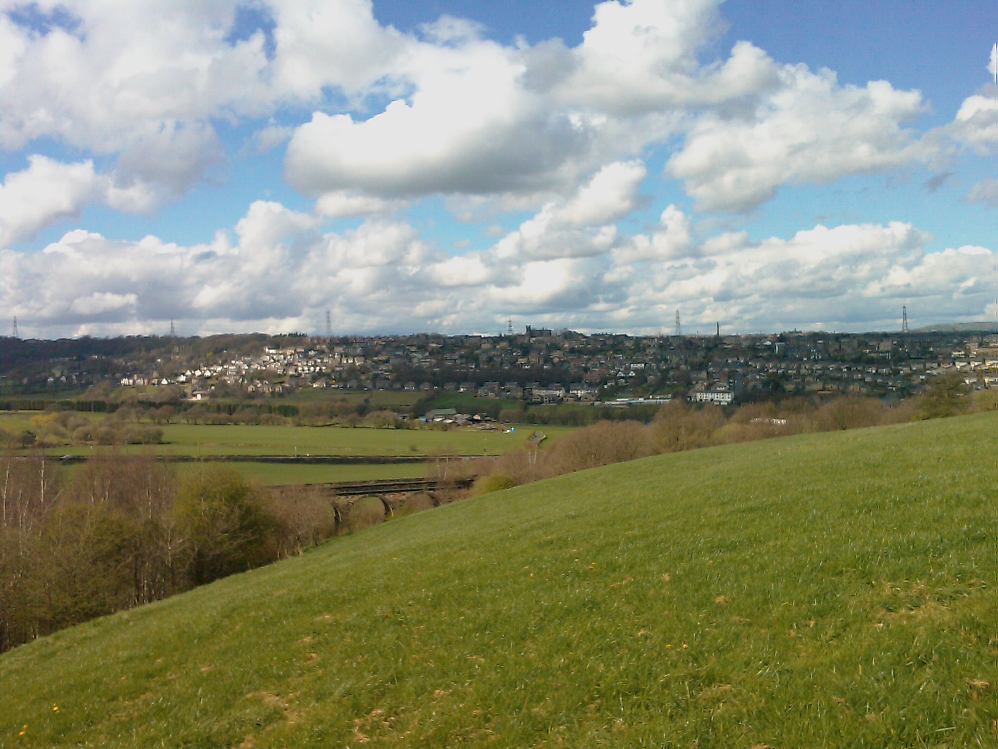
Cross Hill is a small village located in the county of Yorkshire in England. Situated approximately 10 miles south of York, it lies in the Ryedale district within the Howardian Hills Area of Outstanding Natural Beauty. The village is surrounded by picturesque countryside, offering stunning views and a tranquil atmosphere.

With a population of around 200 residents, Cross Hill is known for its tight-knit community and friendly atmosphere. The village mainly consists of traditional stone-built houses, giving it a charming and timeless feel. The local economy is primarily based on agriculture, with many residents working in farming or related industries.

Despite its small size, Cross Hill has a range of amenities that cater to the needs of its residents. These include a primary school, a village hall, a post office, and a local pub. The village also benefits from good transport links, with regular bus services connecting it to nearby towns and villages.

Nature enthusiasts and outdoor adventurers are drawn to Cross Hill due to its proximity to the stunning Howardian Hills. This designated Area of Outstanding Natural Beauty offers an array of walking and cycling routes, as well as opportunities for birdwatching and wildlife spotting.

Overall, Cross Hill is a charming rural village that offers a peaceful and close-knit community, stunning natural surroundings, and easy access to amenities and outdoor activities.

If you have any feedback on the listing, please let us know in the comments section below.
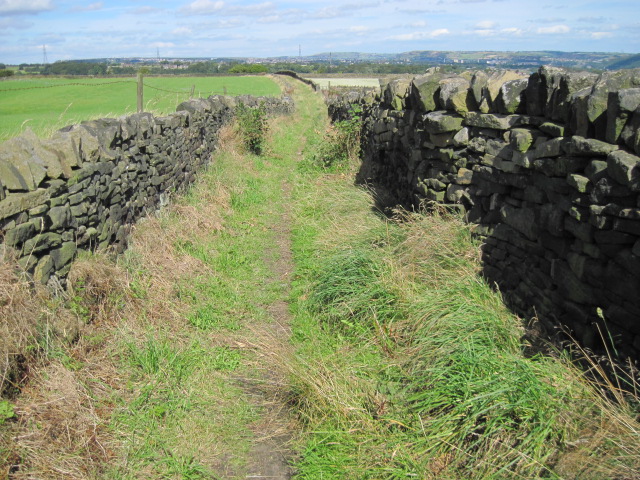
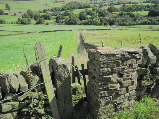
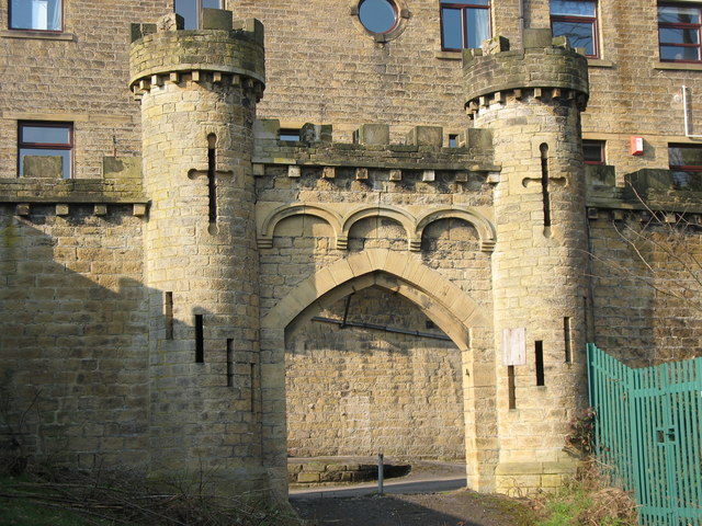
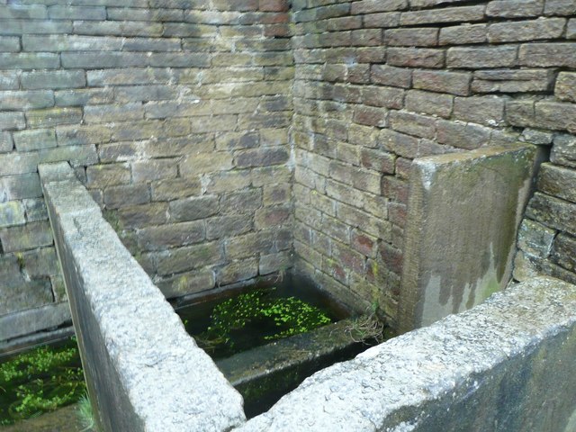
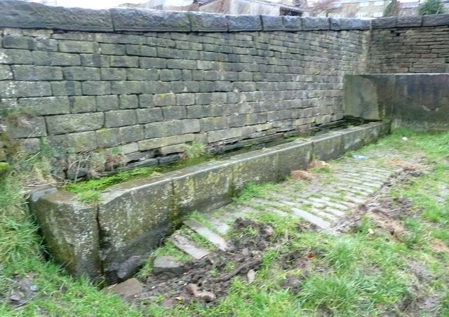
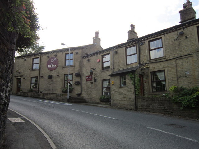
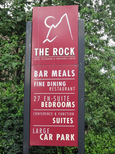
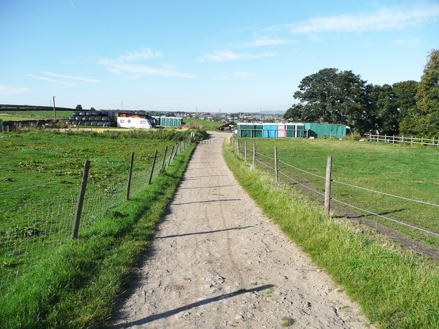
Cross Hill Images

Images are sourced within 2km of 53.687169/-1.861416 or Grid Reference SE0921. Thanks to Geograph Open Source API. All images are credited.

Drury Lane footpath, Stainland
Footpath towards Shavey Clough
Shaw Park Gateway This mock castle style gateway forms one of the entrances to Shaw Park
Shaw Park Gateway
This mock castle style gateway forms one of the entrances to Shaw Park
Shaw Park Aviary Built originally as an Aviary around 1870, now disused.
Shaw Park Aviary
Built originally as an Aviary around 1870, now disused.
Shaw Park Folly The first of 3 follies linked by a wall in Shaw Park
Shaw Park Folly
The first of 3 follies linked by a wall in Shaw Park
Shaw Park Folly The second of 3 follies linked by a wall in Shaw Park
Shaw Park Folly
The second of 3 follies linked by a wall in Shaw Park
Shaw Park Folly The third of 3 follies linked by a wall in Shaw Park. The round tower housed a dovecote.
Shaw Park Folly
The third of 3 follies linked by a wall in Shaw Park. The round tower housed a dovecote.
Shaw Park Arches This small folly is formed with 3 arches in a curved wall
Shaw Park Arches
This small folly is formed with 3 arches in a curved wall
Water trough, Carr Hall Lane, Stainland This is the inlet end of a long trough, and the walls around it, formed of large stone flags, are presumably to keep animals away from the part used by people collecting water for domestic consumption in the days before piped water supplies.
Water trough, Carr Hall Lane, Stainland
This is the inlet end of a long trough, and the walls around it, formed of large stone flags, are presumably to keep animals away from the part used by people collecting water for domestic consumption in the days before piped water supplies.
Water trough, Carr Hall Lane, Stainland A long trough with a compartment at the inlet end, presumably to keep animals away from the part used by people collecting water for domestic consumption.
Water trough, Carr Hall Lane, Stainland
A long trough with a compartment at the inlet end, presumably to keep animals away from the part used by people collecting water for domestic consumption.
The Rock public house, Holywell Green
Old Dan Lane at Broad Carr Lane Old Dan Lane was called Back Lane on the 1850 six-inch map. It was part of the old route from Brow Bridge, Greetland, to Stainland and is now a public bridleway.
Old Dan Lane at Broad Carr Lane
Old Dan Lane was called Back Lane on the 1850 six-inch map. It was part of the old route from Brow Bridge, Greetland, to Stainland and is now a public bridleway.
Elland FP58 leaving Holywell Green
United Reformed Church, Holywell Green This was built as the Sunday School; the church was next to it on the right, but has been demolished and the site used for houses.
United Reformed Church, Holywell Green
This was built as the Sunday School; the church was next to it on the right, but has been demolished and the site used for houses.
Houses new and old, Holywell Green
Terrace houses, Stainland Road
Church Lane, Stainland This is an unadopted lane of the type classed as a 'Byway open to all Traffic' (BOAT), numbered Elland 98. It is captioned 'Bradley Lane' on the 1850 map.
Church Lane, Stainland
This is an unadopted lane of the type classed as a 'Byway open to all Traffic' (BOAT), numbered Elland 98. It is captioned 'Bradley Lane' on the 1850 map.
Show me another place!

Cross Hill is located at Grid Ref: SE0921 (Lat: 53.687169, Lng: -1.861416)

Division: West Riding

Unitary Authority: Calderdale

Police Authority: West Yorkshire

What 3 Words

///values.deputy.output. Near Holywell Green, West Yorkshire

Related Wikis

Rochdale Road Halt railway station

Rochdale Road Halt served the village of Greetland, West Yorkshire, England, on the Stainland Branch from 1907 to 1929. == Location == The halt was located...

West Vale railway station

West Vale railway station served on the Stainland Branch from 1875 to 1929. == History == The station was opened on New years day 1875, along with the...

West Vale

West Vale is a village in Calderdale, West Yorkshire, England. The village falls within the Greetland and Stainland parish of the Calderdale Council....

Greetland

Greetland is a village in the metropolitan borough of Calderdale in West Yorkshire, England. It lies in the Calderdale Ward of Greetland and Stainland...

Nearby Amenities

Located within 500m of 53.687169,-1.861416
Traffic Signals
Lat/Long: 53.6866338/-1.8563756
Lindwell
Created By: Potlatch 0.10f
Place: hamlet
Source: npe
Lat/Long: 53.6899301/-1.860651
West Vale
Created By: Potlatch 0.10e
Place: village
Wikidata: Q7986745
Lat/Long: 53.6870539/-1.8549233
Traffic Signals
Lat/Long: 53.6876383/-1.8547495
Turning Circle
Lat/Long: 53.6872126/-1.8618657
Noexit: yes
Lat/Long: 53.6899881/-1.8585919
Noexit: yes
Lat/Long: 53.6900115/-1.8583673
Noexit: yes
Lat/Long: 53.6900291/-1.8581259
Bus Stop
Stainland Road Dean Street
Local Ref: 45018701
Naptan AtcoCode: 450018701
Naptan Bearing: SW
Naptan CommonName: Stainland Road Dean Street
Naptan Crossing: Dean Street
Naptan Indicator: Stop 45018701
Naptan Landmark: E Binns & Sons Ltd Engineers
Naptan PlusbusZoneRef: LEEDS
Naptan ShortCommonName: Dean Street
Naptan Street: Stainland Road
Naptan Verified: no
Source: naptan_import
Lat/Long: 53.6861522/-1.8570902
Bus Stop
Stainland Road
Local Ref: 45021559
Naptan AtcoCode: 450021559
Naptan Bearing: SW
Naptan CommonName: Stainland Road
Naptan Crossing: Long Heys-Green Lane
Naptan Indicator: Stop 45021559
Naptan PlusbusZoneRef: LEEDS
Naptan ShortCommonName: Long Heys
Naptan Street: Stainland Road
Naptan Verified: no
Source: naptan_import
Lat/Long: 53.6828603/-1.862976
Bus Stop
Stainland Road Little Bradley
Local Ref: 45021560
Naptan AtcoCode: 450021560
Naptan Bearing: SE
Naptan CommonName: Stainland Road Little Bradley
Naptan Crossing: Little Bradley
Naptan Indicator: Stop 45021560
Naptan PlusbusZoneRef: LEEDS
Naptan ShortCommonName: Little Bradley
Naptan Street: Stainland Road
Naptan Verified: no
Shelter: yes
Source: naptan_import
Lat/Long: 53.6832465/-1.8626719
Bus Stop
Stainland Road Queen Street
Local Ref: 45021561
Naptan AtcoCode: 450021561
Naptan Bearing: SW
Naptan CommonName: Stainland Road Queen Street
Naptan Crossing: Queen Street
Naptan Indicator: Stop 45021561
Naptan Landmark: The Queen PH
Naptan PlusbusZoneRef: LEEDS
Naptan ShortCommonName: Queen Street
Naptan Street: Stainland Road
Naptan Verified: no
Source: naptan_import
Lat/Long: 53.6851475/-1.8587441
Bus Stop
Saddleworth Road
Local Ref: 45021586
Naptan AtcoCode: 450021586
Naptan Bearing: W
Naptan CommonName: Saddleworth Road
Naptan Crossing: Green Lane
Naptan Indicator: Stop 45021586
Naptan PlusbusZoneRef: LEEDS
Naptan ShortCommonName: Green Ln West Vale
Naptan Street: Saddleworth Road
Naptan Verified: no
Source: naptan_import
Lat/Long: 53.6866169/-1.8548173
Bus Stop
Saddleworth Road Stainland Road
Bus: yes
Local Ref: 45021587
Naptan AtcoCode: 450021587
Naptan Bearing: E
Naptan CommonName: Saddleworth Road Stainland Road
Naptan Crossing: Stainland Road
Naptan Indicator: Stop 45021587
Naptan Landmark: West Vale Works
Naptan PlusbusZoneRef: LEEDS
Naptan ShortCommonName: Stainland Road
Naptan Street: Saddleworth Road
Naptan Verified: no
Public Transport: platform
Source: naptan_import
Lat/Long: 53.6866469/-1.8573762
Bus Stop
Saddleworth Road
Bus: yes
Local Ref: 45021588
Naptan AtcoCode: 450021588
Naptan Bearing: W
Naptan CommonName: Saddleworth Road
Naptan Crossing: Stainland Road
Naptan Indicator: Stop 45021588
Naptan Landmark: Cricket Ground
Naptan PlusbusZoneRef: LEEDS
Naptan ShortCommonName: Stainland Road
Naptan Street: Saddleworth Road
Naptan Verified: no
Public Transport: platform
Source: naptan_import
Lat/Long: 53.6865482/-1.8574826
Bus Stop
Saddleworth Road High Meadows
Local Ref: 45021589
Naptan AtcoCode: 450021589
Naptan Bearing: W
Naptan CommonName: Saddleworth Road High Meadows
Naptan Crossing: High Meadows
Naptan Indicator: Stop 45021589
Naptan PlusbusZoneRef: LEEDS
Naptan ShortCommonName: High Meadows
Naptan Street: Saddleworth Road
Naptan Verified: no
Source: naptan_import
Lat/Long: 53.6857653/-1.8644959
Bus Stop
Saddleworth Road Sunnybank Drive
Local Ref: 45021590
Naptan AtcoCode: 450021590
Naptan Bearing: E
Naptan CommonName: Saddleworth Road Sunnybank Drive
Naptan Crossing: Sunnybank Drive
Naptan Indicator: Stop 45021590
Naptan Landmark: Infant School
Naptan PlusbusZoneRef: LEEDS
Naptan ShortCommonName: Sunnybank Drive
Naptan Street: Saddleworth Road
Naptan Verified: no
Source: naptan_import
Lat/Long: 53.6859223/-1.8682808
Bus Stop
Saddleworth Road
Local Ref: 45021591
Naptan AtcoCode: 450021591
Naptan Bearing: W
Naptan CommonName: Saddleworth Road
Naptan Crossing: Sunnybank Drive
Naptan Indicator: Stop 45021591
Naptan Landmark: Infant School
Naptan PlusbusZoneRef: LEEDS
Naptan ShortCommonName: Sunnybank Drive
Naptan Street: Saddleworth Road
Naptan Verified: yes
Shelter: yes
Source: naptan_import
Timetable: yes
Lat/Long: 53.6857788/-1.8685084
Bus Stop
Stainland Road Queen Street
Local Ref: 45021600
Naptan AtcoCode: 450021600
Naptan Bearing: NE
Naptan CommonName: Stainland Road Queen Street
Naptan Crossing: Queen Street
Naptan Indicator: Stop 45021600
Naptan Landmark: The Queen PH
Naptan PlusbusZoneRef: LEEDS
Naptan ShortCommonName: Queen Street
Naptan Street: Stainland Road
Naptan Verified: no
Source: naptan_import
Lat/Long: 53.6854527/-1.8584553
Bus Stop
Stainland Road Rochdale Road
Local Ref: 45022695
Naptan AtcoCode: 450022695
Naptan Bearing: NE
Naptan CommonName: Stainland Road Rochdale Road
Naptan Crossing: Rochdale Road
Naptan Indicator: Stop 45022695
Naptan Landmark: Civic Hall
Naptan PlusbusZoneRef: LEEDS
Naptan ShortCommonName: Rochdale Road
Naptan Street: Stainland Road
Naptan Verified: no
Shelter: yes
Source: naptan_import
Lat/Long: 53.6880667/-1.854305
Bus Stop
J Stainland Road
Local Ref: 45022696
Naptan AtcoCode: 450022696
Naptan Bearing: SW
Naptan CommonName: J Stainland Road
Naptan Crossing: Elizabeth Street
Naptan Indicator: Stop 45022696
Naptan PlusbusZoneRef: LEEDS
Naptan ShortCommonName: Stainland Road J
Naptan Street: Stainland Road
Naptan Verified: no
Source: naptan_import
Lat/Long: 53.6871838/-1.8554059
Bus Stop
Rochdale Road Stainland Road
Local Ref: 45022697
Naptan AtcoCode: 450022697
Naptan Bearing: NW
Naptan CommonName: Rochdale Road Stainland Road
Naptan Crossing: Stainland Road
Naptan Indicator: Stop 45022697
Naptan Landmark: Royal Oak PH
Naptan PlusbusZoneRef: LEEDS
Naptan ShortCommonName: Stainland Road
Naptan Street: Rochdale Road
Naptan Verified: no
Source: naptan_import
Lat/Long: 53.6877678/-1.8551919
Bus Stop
Rochdale Road Clay House Lane
Local Ref: 45022699
Naptan AtcoCode: 450022699
Naptan Bearing: E
Naptan CommonName: Rochdale Road Clay House Lane
Naptan Crossing: Clay House Lane
Naptan Indicator: Stop 45022699
Naptan PlusbusZoneRef: LEEDS
Naptan ShortCommonName: Clay House Lane
Naptan Street: Rochdale Road
Naptan Verified: yes
Shelter: yes
Source: naptan_import
Timetable: yes
Lat/Long: 53.6890496/-1.8597456
Bus Stop
Rochdale Road
Local Ref: 45022700
Naptan AtcoCode: 450022700
Naptan Bearing: W
Naptan CommonName: Rochdale Road
Naptan Crossing: Road End
Naptan Indicator: Stop 45022700
Naptan PlusbusZoneRef: LEEDS
Naptan ShortCommonName: Road End
Naptan Street: Rochdale Road
Naptan Verified: no
Source: naptan_import
Lat/Long: 53.6889242/-1.8600791
Bus Stop
Rochdale Road Crosshills Mount
Local Ref: 45022901
Naptan AtcoCode: 450022901
Naptan Bearing: E
Naptan CommonName: Rochdale Road Crosshills Mount
Naptan Crossing: Crosshills Mount
Naptan Indicator: Stop 45022901
Naptan Landmark: The Star PH
Naptan PlusbusZoneRef: LEEDS
Naptan ShortCommonName: Crosshills Mount
Naptan Street: Rochdale Road
Naptan Verified: no
Source: naptan_import
Lat/Long: 53.688632/-1.8639718
Bus Stop
Rochdale Road Milner Lane
Local Ref: 45022902
Naptan AtcoCode: 450022902
Naptan Bearing: W
Naptan CommonName: Rochdale Road Milner Lane
Naptan Crossing: Milner Lane
Naptan Indicator: Stop 45022902
Naptan PlusbusZoneRef: LEEDS
Naptan ShortCommonName: Milner Lane
Naptan Street: Rochdale Road
Naptan Verified: no
Source: naptan_import
Lat/Long: 53.6884976/-1.8643508
Bus Stop
Rochdale Road Ashfield Road
Local Ref: 45022903
Naptan AtcoCode: 450022903
Naptan Bearing: W
Naptan CommonName: Rochdale Road Ashfield Road
Naptan Crossing: Ashfield Road
Naptan Indicator: Stop 45022903
Naptan Notes: Advert panels fitted on 1/2/08.
Naptan PlusbusZoneRef: LEEDS
Naptan ShortCommonName: Ashfield Road
Naptan Street: Rochdale Road
Naptan Verified: no
Source: naptan_import
Lat/Long: 53.68806/-1.8668659
Bus Stop
Rochdale Road Ashfield Road
Local Ref: 45022904
Naptan AtcoCode: 450022904
Naptan Bearing: E
Naptan CommonName: Rochdale Road Ashfield Road
Naptan Crossing: Ashfield Road
Naptan Indicator: Stop 45022904
Naptan Landmark: Church
Naptan PlusbusZoneRef: LEEDS
Naptan ShortCommonName: Ashfield Road
Naptan Street: Rochdale Road
Naptan Verified: yes
Shelter: yes
Source: naptan_import
Timetable: yes
Lat/Long: 53.6882137/-1.8676377
Bus Stop
Saddleworth Road
Local Ref: 45024152
Naptan AtcoCode: 450024152
Naptan Bearing: E
Naptan CommonName: Saddleworth Road
Naptan Crossing: Green Lane
Naptan Indicator: Stop 45024152
Naptan PlusbusZoneRef: LEEDS
Naptan ShortCommonName: Green Ln West Vale
Naptan Street: Saddleworth Road
Naptan Verified: no
Source: naptan_import
Lat/Long: 53.6867151/-1.8543022
Bus Stop
Stainland Road Health Centre
Local Ref: 45028208
Naptan AtcoCode: 450028208
Naptan Bearing: NE
Naptan CommonName: Stainland Road Health Centre
Naptan Crossing: Black Brook Way
Naptan Indicator: Stop 45028208
Naptan Landmark: Health Centre
Naptan PlusbusZoneRef: LEEDS
Naptan ShortCommonName: Stainland Road
Naptan Street: Stainland Road
Naptan Verified: no
Source: naptan_import
Lat/Long: 53.6837219/-1.8618527
Bus Stop
Stainland Road Health Centre
Local Ref: 45028210
Naptan AtcoCode: 450028210
Naptan Bearing: SW
Naptan CommonName: Stainland Road Health Centre
Naptan Crossing: Nr-At Green Lane
Naptan Indicator: Stop 45028210
Naptan Landmark: Health Centre
Naptan PlusbusZoneRef: LEEDS
Naptan ShortCommonName: Stainland Road
Naptan Street: Stainland Road
Naptan Verified: no
Source: naptan_import
Lat/Long: 53.683587/-1.8617321
Saddleworth Road High Meadows
Local Ref: 45051112
Naptan AtcoCode: 450051112
Naptan Bearing: E
Naptan BusStopType: CUS
Naptan CommonName: Saddleworth Road High Meadows
Naptan Indicator: Stop 45051112
Naptan PlusbusZoneRef: LEEDS
Naptan ShortCommonName: Woodfield Drive
Naptan Street: Saddleworth Road
Naptan Verified: no
Source: naptan_import
Lat/Long: 53.6858642/-1.8645107
Crossing
Crossing: marked
Lat/Long: 53.6889483/-1.8564195
Barrier: cycle_barrier
Lat/Long: 53.6865951/-1.8596899
Post Box
Operator: Royal Mail
Post Box Type: lamp
Ref: HX4 233
Lat/Long: 53.6857937/-1.8682303
Post Box
Operator: Royal Mail
Ref: HX4 140
Lat/Long: 53.6867146/-1.8547091
Post Box
Operator: Royal Mail
Ref: HX4 246
Lat/Long: 53.6847131/-1.8556855
Post Box
Operator: Royal Mail
Ref: HX4 103
Lat/Long: 53.6831769/-1.8628153
Post Box
Operator: Royal Mail
Post Box Type: wall
Ref: HX4 50
Lat/Long: 53.6890434/-1.8596742
Leisure: playground
Opening Hours: 24/7
Operator: Calderdale MBC
Lat/Long: 53.6889189/-1.854794
Barrier: bollard
Lat/Long: 53.6867584/-1.8558651
Turning Circle
Lat/Long: 53.6847985/-1.8652006
Turning Circle
Lat/Long: 53.6874453/-1.8599661
Post Box
Operator: Royal Mail
Operator Wikidata: Q638098
Post Box Type: wall
Ref: HX4 211
Lat/Long: 53.6880499/-1.8658963
Crossing
Crossing: marked
Crossing Island: no
Tactile Paving: yes
Lat/Long: 53.6874446/-1.8541951
Crossing
Lat/Long: 53.6866482/-1.8551448
Turning Circle
Lat/Long: 53.683986/-1.8566038
Crossing
Crossing: traffic_signals
Lat/Long: 53.6875906/-1.8546193
Crossing
Crossing: traffic_signals
Lat/Long: 53.6877251/-1.8549569
Crossing
Crossing: traffic_signals
Lat/Long: 53.6877827/-1.8545345
Crossing
Crossing: traffic_signals
Lat/Long: 53.6866373/-1.8561693
Crossing
Crossing: traffic_signals
Lat/Long: 53.6867617/-1.856167
Crossing
Crossing: traffic_signals
Lat/Long: 53.6875524/-1.8548938
Atm
Fee: no
Lat/Long: 53.6872278/-1.8559314
Little Bradley
Place: hamlet
Source: npe
Lat/Long: 53.6827043/-1.861404
Parcel Locker
Amazon Hub Locker
Brand: Amazon Hub
Brand Wikidata: Q16974764
Operator: Amazon
Lat/Long: 53.683797/-1.8617052
Barrier: stile
Stile: squeezer
Lat/Long: 53.6903437/-1.8589273
Crossing
Crossing: traffic_signals
Lat/Long: 53.6864649/-1.8566455
GPC Plumbing & Heating Ltd.
Addr City: Halifax
Addr Country: GB
Addr Housenumber: 61
Addr Postcode: HX4 8BD
Addr Street: Stainland Road
Addr Suburb: West Vale
Craft: plumber
Phone: +44 1422 646 121
Website: https://www.gpcltd.co.uk/
Lat/Long: 53.6862028/-1.8568349
Barrier: bollard
Lat/Long: 53.6849804/-1.8562381
Power: substation
Substation: minor_distribution
Lat/Long: 53.6829514/-1.8612437
Barrier: bollard
Bicycle: yes
Foot: yes
Horse: yes
Lat/Long: 53.6840458/-1.85919
Bus Stop
Bus: yes
Departures Board: timetable
Public Transport: platform
Shelter: no
Lat/Long: 53.6880803/-1.8553493
Rochdale Road
Historic Railway: station
Railway: site
Wikidata: Q7353810
Wikipedia: en:Rochdale Road Halt railway station
Lat/Long: 53.6890082/-1.8561437
West Vale
Historic Railway: station
Railway: site
Wikidata: Q16248745
Wikipedia: en:West Vale railway station
Lat/Long: 53.6835614/-1.8593965
Playground: climbingframe
Lat/Long: 53.6889749/-1.8546268
Defibrillator
Access: yes
Defibrillator Location: on the outside wall of The Star pub to the left of the main entrance
Emergency: defibrillator
Indoor: no
Ref GB The Circuit: 2DB2AD26-6EAC-4AF3-BBB7-AD5700D6DB26
Lat/Long: 53.6894159/-1.8602685
Defibrillator
Defibrillator Location: On external wall. to right of entrance.
Emergency: defibrillator
Indoor: no
Ref: 15D3FD9D-C41A-478F-A12A-AD4300AA0956
Lat/Long: 53.6881135/-1.8680579
Entrance: yes
Lat/Long: 53.6881175/-1.8681544
Entrance: yes
Lat/Long: 53.6880363/-1.8680231
The data included in this document is from www.openstreetmap.org. The data is made available under ODbL.

Have you been to Cross Hill?

Leave your review of Cross Hill below (or comments, questions and feedback).