Great Ground Coppice

Wood, Forest in Wiltshire

England

Great Ground Coppice

East Knoyle, St, Mary's Church: North western aspect
East Knoyle, St, Mary's Church: North western aspect Credit: Michael Garlick

Great Ground Coppice is a picturesque woodland located in the county of Wiltshire, England. Covering an area of approximately 100 hectares, the coppice is renowned for its natural beauty, diverse flora and fauna, and historical significance. It is situated near the charming village of Wroughton, just a short distance from the town of Swindon.

The woodland is predominantly composed of deciduous trees, including oak, ash, beech, and birch. The rich variety of tree species creates a vibrant and colorful canopy during the spring and summer months. The forest floor is adorned with an array of wildflowers, such as bluebells, primroses, and violets, adding to the area's visual appeal.

Great Ground Coppice has a long history, dating back several centuries. It was traditionally managed as a coppice woodland, where trees were periodically cut down to stimulate new growth. This practice provided a sustainable source of timber for various purposes, including firewood, fencing, and construction materials.

The woodland is home to a diverse range of wildlife, including numerous bird species, such as woodpeckers, owls, and warblers. It also supports a thriving population of mammals, including deer, foxes, badgers, and squirrels. Conservation efforts have been implemented to protect the forest's biodiversity and ensure the preservation of its natural habitat.

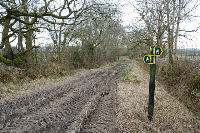
Great Ground Coppice offers numerous recreational opportunities for visitors. It features a network of well-maintained footpaths and trails, allowing nature enthusiasts to explore the woodland at their leisure. The peaceful ambiance and stunning scenery make it an ideal location for walking, birdwatching, and photography.

Overall, Great Ground Coppice in Wiltshire is a captivating woodland that showcases the beauty of nature and provides a sanctuary for wildlife. Its combination of historical significance, diverse flora and fauna, and recreational opportunities make it a cherished destination for both locals and tourists alike.

If you have any feedback on the listing, please let us know in the comments section below.

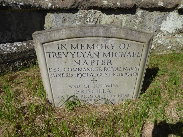
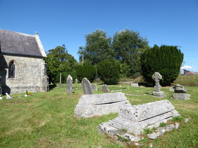
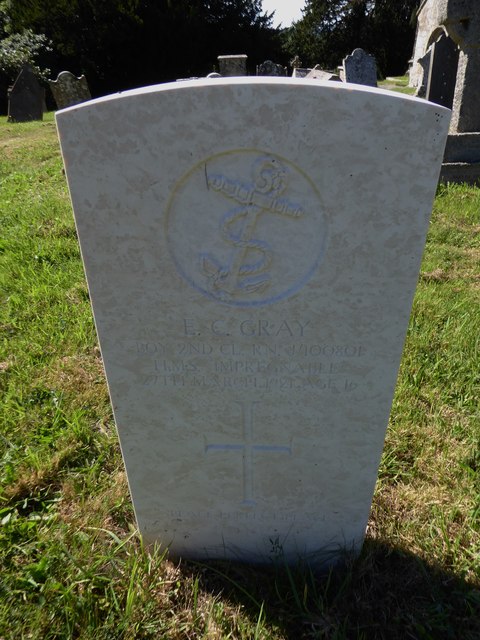
Great Ground Coppice Images

Images are sourced within 2km of 51.070007/-2.1820064 or Grid Reference ST8730. Thanks to Geograph Open Source API. All images are credited.

East Knoyle, St, Mary's Church: North western aspect
East Knoyle, St, Mary's Church: Eastern aspect
East Knoyle: Community building
East Knoyle: Plantation access track
East Knoyle, St, Mary's Church: North eastern aspect
East Knoyle Windmill
Footpath/ Bridleway intersection
Clouds, East Knoyle A severely butchered house of 1879 (rebuilt 1889 after a fire) by Philip Webb for Percy Wyndham. The butchering took place in 1938 when the house was drastically reduced in size. There is still quite a lot left however, "without concession to grace" wrote Pevsner. Grade II* listed.
It is now a home for the treatment of alcohol and other drug addicts, run by Action on Addiction.
Clouds, East Knoyle
A severely butchered house of 1879 (rebuilt 1889 after a fire) by Philip Webb for Percy Wyndham. The butchering took place in 1938 when the house was drastically reduced in size. There is still quite a lot left however, "without concession to grace" wrote Pevsner. Grade II* listed. It is now a home for the treatment of alcohol and other drug addicts, run by Action on Addiction.
The Street, East Knoyle ca 1980
St Catherine, Sedgehill: late August 2016
St Mary, East Knoyle: late August 2016
Rush hour in Sedgehill
St Catherine, Sedgehill: churchyard (1)
St Catherine, Sedgehill: churchyard (2)
St Catherine, Sedgehill: churchyard (3) Also see <span class="nowrap"><a title="https://en.wikipedia.org/wiki/Priscilla_Napier" rel="nofollow ugc noopener" href="https://en.wikipedia.org/wiki/Priscilla_Napier">Link</a><img style="margin-left:2px;" alt="External link" title="External link - shift click to open in new window" src="https://s1.geograph.org.uk/img/external.png" width="10" height="10"/></span> <span class="nowrap"><a title="http://uboat.net/allies/commanders/1815.html" rel="nofollow ugc noopener" href="http://uboat.net/allies/commanders/1815.html">Link</a><img style="margin-left:2px;" alt="External link" title="External link - shift click to open in new window" src="https://s1.geograph.org.uk/img/external.png" width="10" height="10"/></span> and <span class="nowrap"><a title="http://www.cwgc.org/find-war-dead/casualty/2710207/NAPIER,%20TREVYLYAN%20MICHAEL" rel="nofollow ugc noopener" href="http://www.cwgc.org/find-war-dead/casualty/2710207/NAPIER,%20TREVYLYAN%20MICHAEL">Link</a><img style="margin-left:2px;" alt="External link" title="External link - shift click to open in new window" src="https://s1.geograph.org.uk/img/external.png" width="10" height="10"/></span>
St Catherine, Sedgehill: churchyard (3)
Also see LinkExternal link LinkExternal link and LinkExternal link
St Catherine, Sedgehill: churchyard (4)
St Catherine, Sedgehill: churchyard (5) Also see <span class="nowrap"><a title="http://www.cwgc.org/find-war-dead/casualty/405789/GRAY,%20E%20C" rel="nofollow ugc noopener" href="http://www.cwgc.org/find-war-dead/casualty/405789/GRAY,%20E%20C">Link</a><img style="margin-left:2px;" alt="External link" title="External link - shift click to open in new window" src="https://s1.geograph.org.uk/img/external.png" width="10" height="10"/></span>
St Catherine, Sedgehill: churchyard (5)
Also see LinkExternal link
Show me another place!

Great Ground Coppice is located at Grid Ref: ST8730 (Lat: 51.070007, Lng: -2.1820064)

Unitary Authority: Wiltshire

Police Authority: Wiltshire

What 3 Words

///hack.crucially.workshop. Near Hindon, Wiltshire

Related Wikis

St. Mary's Church, East Knoyle

St. Mary's Church is a Church of England parish church in East Knoyle, Wiltshire, England. == History == The Church of England Parish Church of St Mary...

East Knoyle

East Knoyle is a village and civil parish in Wiltshire, in the south-west of England, just west of the A350 and about 9 miles (14 km) south of Warminster...

East Knoyle War Memorial

The East Knoyle War Memorial is a monument that commemorates the lives of soldiers from East Knoyle, Wiltshire, England, who were killed in war. Unveiled...

Clouds House

Clouds House, also known simply as Clouds, is a Grade II* listed building at East Knoyle in Wiltshire, England. Designed by Arts and Crafts architect Philip...

Nearby Amenities

Located within 500m of 51.070007,-2.1820064
Post Box
Operator: Royal Mail
Post Box Type: lamp
Ref: SP3 53D
Royal Cypher: EIIR
Royal Cypher Wikidata: Q33102113
Lat/Long: 51.0718987/-2.1780463
The data included in this document is from www.openstreetmap.org. The data is made available under ODbL.

Have you been to Great Ground Coppice?

Leave your review of Great Ground Coppice below (or comments, questions and feedback).