Balmers Coombe Copse

Wood, Forest in Dorset

England

Balmers Coombe Copse

Ascending Bulbarrow Hill The Bulbarrow Hill of the last verse of Thomas Hardy's poem 'Wessex Heights':


So I am found on Ingpen Beacon, or on Wylls-Neck to the west, 
Or else on homely Bulbarrow, or little Pilsdon Crest, 
Where men have never cared to haunt, nor women have walked with me, 
And ghosts then keep their distance; and I know some liberty.
Ascending Bulbarrow Hill Credit: Becky Williamson

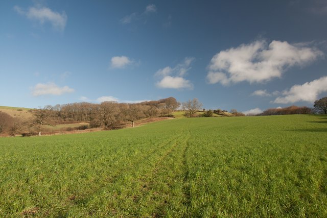
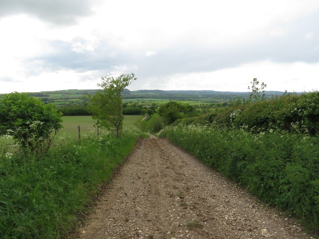
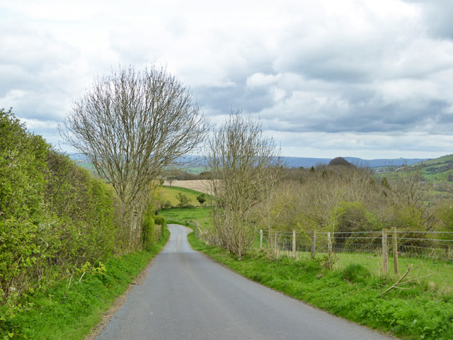
Balmers Coombe Copse is a picturesque woodland located in the county of Dorset, England. This enchanting forest covers an area of approximately 50 hectares and is a popular destination for nature enthusiasts and hikers alike.

The copse is characterized by its diverse range of flora and fauna, boasting a canopy of tall and majestic trees. Ancient oaks, beeches, and ash trees dominate the landscape, providing a rich habitat for a variety of wildlife. Visitors can expect to encounter a plethora of bird species, including woodpeckers, thrushes, and owls, making it an ideal spot for birdwatching.

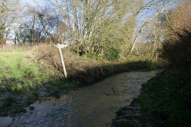
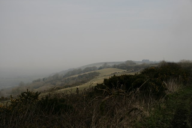
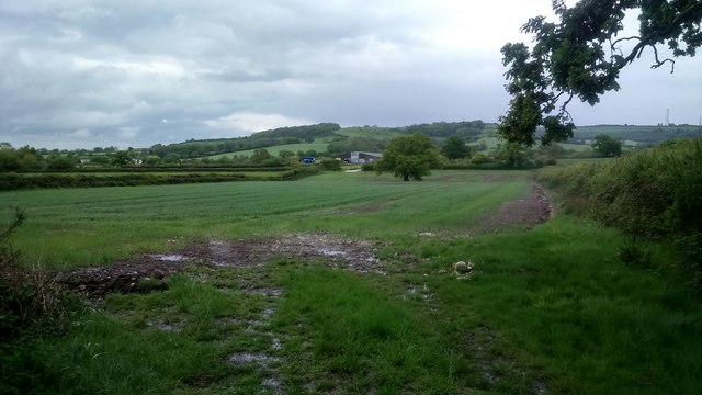
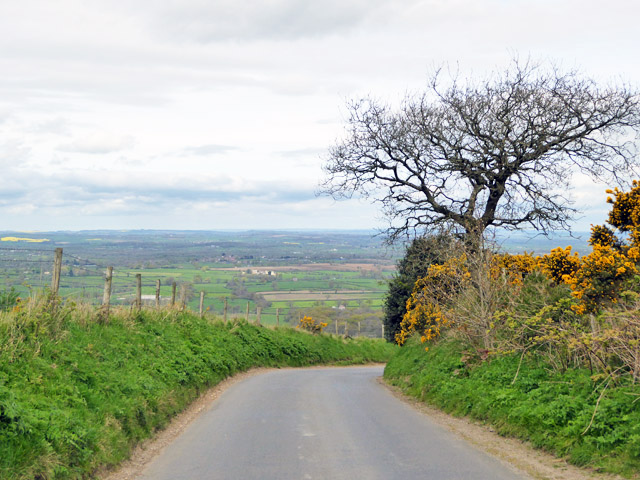
Walking through Balmers Coombe Copse, one can witness the beauty of nature at every turn. The forest floor is adorned with a carpet of bluebells and other wildflowers during the spring, creating a stunning display of colors. Additionally, the presence of babbling brooks and small waterfalls adds to the tranquil ambiance of the woodland.

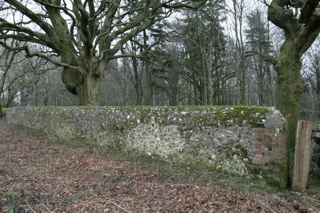
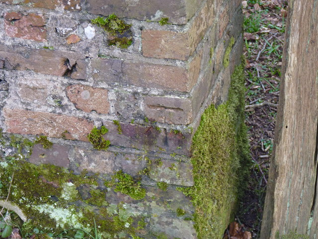
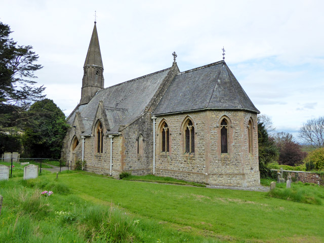
The copse is also steeped in history, with remnants of ancient settlements and archaeological sites scattered throughout the area. It is believed that the wood was once used for charcoal production and timber for shipbuilding during the medieval period.

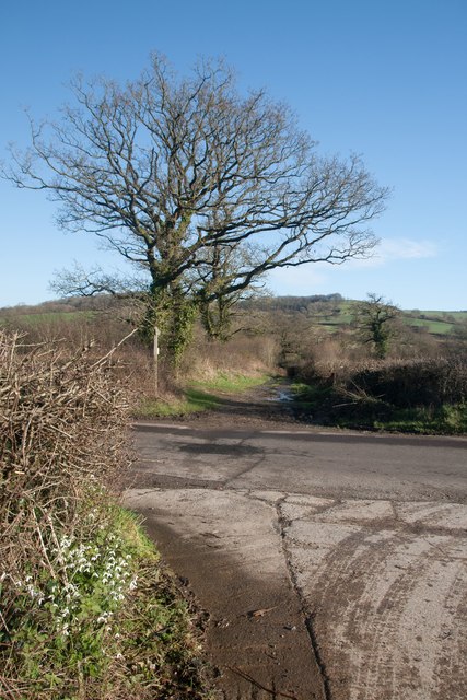
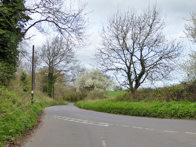
For those seeking outdoor activities, Balmers Coombe Copse offers a network of well-maintained trails and paths, perfect for leisurely strolls or challenging hikes. The forest is easily accessible and has ample parking facilities, making it an ideal destination for a day trip or a weekend getaway.

In conclusion, Balmers Coombe Copse is a captivating woodland in Dorset, renowned for its natural beauty, diverse wildlife, and historical significance. It provides a serene and idyllic escape for individuals looking to immerse themselves in nature's wonders.

If you have any feedback on the listing, please let us know in the comments section below.

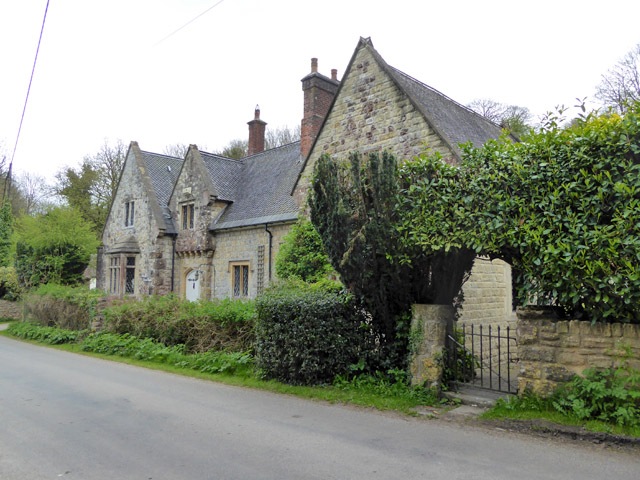
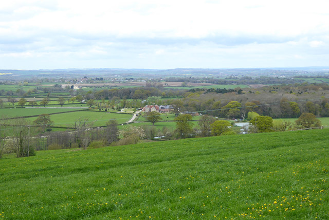
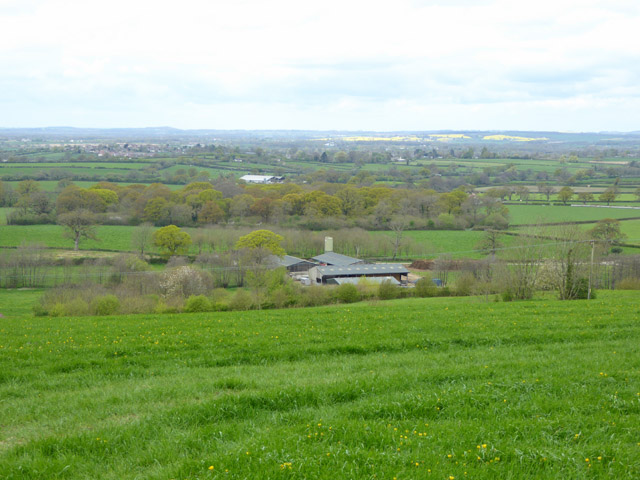
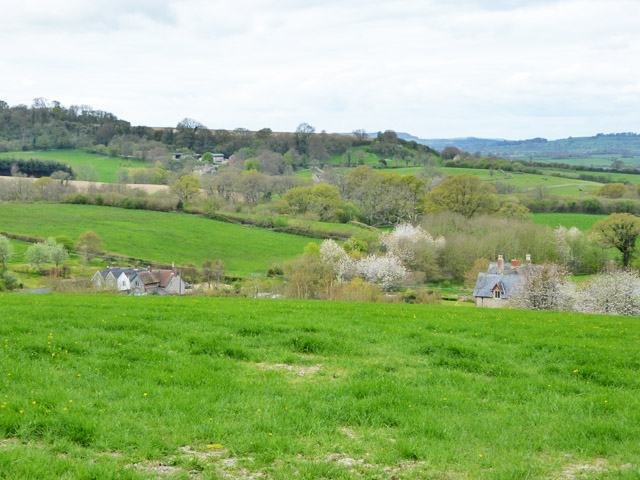
Balmers Coombe Copse Images

Images are sourced within 2km of 50.846631/-2.3258026 or Grid Reference ST7705. Thanks to Geograph Open Source API. All images are credited.

Ascending Bulbarrow Hill The Bulbarrow Hill of the last verse of Thomas Hardy's poem 'Wessex Heights':


So I am found on Ingpen Beacon, or on Wylls-Neck to the west, 
Or else on homely Bulbarrow, or little Pilsdon Crest, 
Where men have never cared to haunt, nor women have walked with me, 
And ghosts then keep their distance; and I know some liberty.
Ascending Bulbarrow Hill
The Bulbarrow Hill of the last verse of Thomas Hardy's poem 'Wessex Heights': So I am found on Ingpen Beacon, or on Wylls-Neck to the west, Or else on homely Bulbarrow, or little Pilsdon Crest, Where men have never cared to haunt, nor women have walked with me, And ghosts then keep their distance; and I know some liberty.
Flooded bridleway ford at Crockers Farm Almost impassable!
Flooded bridleway ford at Crockers Farm
Almost impassable!
Phone mast, Bulbarrow Hill If you look carefully on the right hand side, about half-way up, you can see two work men dangling.
Phone mast, Bulbarrow Hill
If you look carefully on the right hand side, about half-way up, you can see two work men dangling.
Snowdrops at Crockers Farm Looking north-east towards Bulbarrow Hill.
Snowdrops at Crockers Farm
Looking north-east towards Bulbarrow Hill.
Wall at Delcombe Head There is an Ordnance Survey benchmark on the wall end. See <span class="nowrap"><a title="http://www.bench-marks.org.uk/bm47073" rel="nofollow ugc noopener" href="http://www.bench-marks.org.uk/bm47073">Link</a><img style="margin-left:2px;" alt="External link" title="External link - shift click to open in new window" src="https://s1.geograph.org.uk/img/external.png" width="10" height="10"/></span> for description and <a href="https://www.geograph.org.uk/photo/4863413">ST7805 : Benchmark on wall, Delcombe Head</a> for closer picture.
Wall at Delcombe Head
There is an Ordnance Survey benchmark on the wall end. See LinkExternal link for description and ST7805 : Benchmark on wall, Delcombe Head for closer picture.
Benchmark on wall, Delcombe Head Ordnance Survey benchmark, described on database at <span class="nowrap"><a title="http://www.bench-marks.org.uk/bm47073" rel="nofollow ugc noopener" href="http://www.bench-marks.org.uk/bm47073">Link</a><img style="margin-left:2px;" alt="External link" title="External link - shift click to open in new window" src="https://s1.geograph.org.uk/img/external.png" width="10" height="10"/></span>. For context photo, see <a href="https://www.geograph.org.uk/photo/4863400">ST7805 : Wall at Delcombe Head</a>.
Benchmark on wall, Delcombe Head
Ordnance Survey benchmark, described on database at LinkExternal link. For context photo, see ST7805 : Wall at Delcombe Head.
Misty morning on Chitcombe Down
Looking back towards Crockers Farm The Wessex Ridgeway runs through this farm between Bulbarrow Hill to the north-east and Minterne Parva to the west.
Looking back towards Crockers Farm
The Wessex Ridgeway runs through this farm between Bulbarrow Hill to the north-east and Minterne Parva to the west.
Ascending the southern slopes of Bulbarrow Hill
Former Chapel, Lower Ansty
Rural road junction The road ahead, according to the signpost here, goes to Bulbarrow, Stoke Wake and Ansty Cross.
Rural road junction
The road ahead, according to the signpost here, goes to Bulbarrow, Stoke Wake and Ansty Cross.
View north-west from Bulbarrow Hill
Woolland church A grade II listed building, about 1857. 'Unknown dedication' - odd for such a late church, surely someone must know.
Woolland church
A grade II listed building, about 1857. 'Unknown dedication' - odd for such a late church, surely someone must know.
The Old School, Woolland A grade II listed building, from about 1850.
The Old School, Woolland
A grade II listed building, from about 1850.
View north-west from hill above Woolland Looking towards Dairy House Farm.
View north-west from hill above Woolland
Looking towards Dairy House Farm.
View WNW from hill above Woolland
View west from hill above Woolland Hill Farm and nearby cottages are below.
View west from hill above Woolland
Hill Farm and nearby cottages are below.
Road down from Bulbarrow Hill Towards Woolland.
Road down from Bulbarrow Hill
Towards Woolland.
Show me another place!

Balmers Coombe Copse is located at Grid Ref: ST7705 (Lat: 50.846631, Lng: -2.3258026)

Unitary Authority: Dorset

Police Authority: Dorset

What 3 Words

///alerting.website.winded. Near Shillingstone, Dorset

Related Wikis

Bulbarrow Hill

Bulbarrow Hill is a 274 metres (899 ft) hill near Woolland, five miles west of Blandford Forum and ten miles (16 km) north of Dorchester in Dorset, England...

Stoke Wake

Stoke Wake is a hamlet and civil parish, formerly part of the Whiteway hundred in north Dorset, England. It is situated under Bulbarrow Hill on the edge...

Ansty, Dorset

Ansty is a village in Dorset, England, north of Cheselbourne and west of Milton Abbas. It consists of the settlements of Higher Ansty, Lower Ansty, Pleck...

Woolland

Woolland is a village and civil parish in north Dorset, England, situated in the Blackmore Vale under Bulbarrow Hill 7 miles (11 km) west of Blandford...

Delcombe Manor

Delcombe Manor is a Grade II*-listed manor in Milton Abbas, Dorset, England. == History == The manor was built circa 1750 using flint and stone from Milton...

Hilton, Dorset

Hilton is a village and civil parish in the county of Dorset in southern England. It is sited at an elevation of 135 metres (443 feet) in a small valley...

Church of St Eustace, Ibberton

The Parish Church of St Eustace is a Grade II* listed Anglican church in the village of Ibberton, Dorset. It stands to the south of the village, on a steep...

Ibberton

Ibberton is a village and civil parish in the county of Dorset in southern England. It is situated in the Blackmore Vale under the scarp face of the Dorset...

Nearby Amenities

Located within 500m of 50.846631,-2.3258026
Power: pole
Source: bing
Lat/Long: 50.8449954/-2.3192498
The data included in this document is from www.openstreetmap.org. The data is made available under ODbL.

Have you been to Balmers Coombe Copse?

Leave your review of Balmers Coombe Copse below (or comments, questions and feedback).