Diss
Civil Parish in Norfolk South Norfolk
England
Diss
Diss is a civil parish located in the county of Norfolk, England. Situated on the River Waveney, it is approximately 20 miles south of Norwich and 25 miles north of Ipswich. With a population of around 7,500 residents, Diss is a small but vibrant market town.
The town has a rich history, dating back to medieval times. Its name is derived from the Saxon word "dysse," meaning "standing water," referring to the mere or lake that once existed in the area. The town grew as a market center and became renowned for its textile industry during the 18th and 19th centuries.
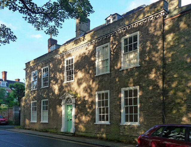
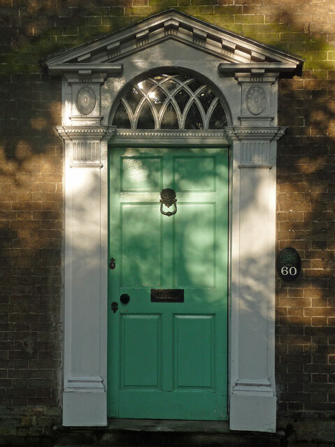
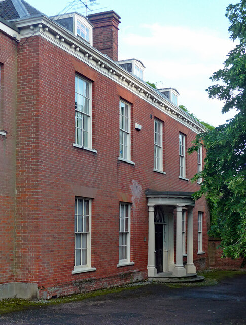
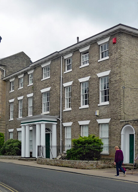
Diss is known for its picturesque streets lined with historic buildings, including examples of Georgian and Victorian architecture. The town's focal point is the Market Place, where a weekly market has been held since the Middle Ages. The town also boasts the impressive St. Mary's Church, a 14th-century parish church that features a magnificent tower and an intricate fan vault ceiling.
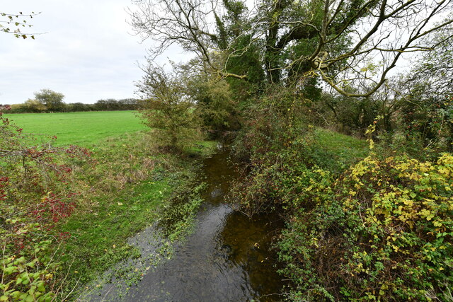
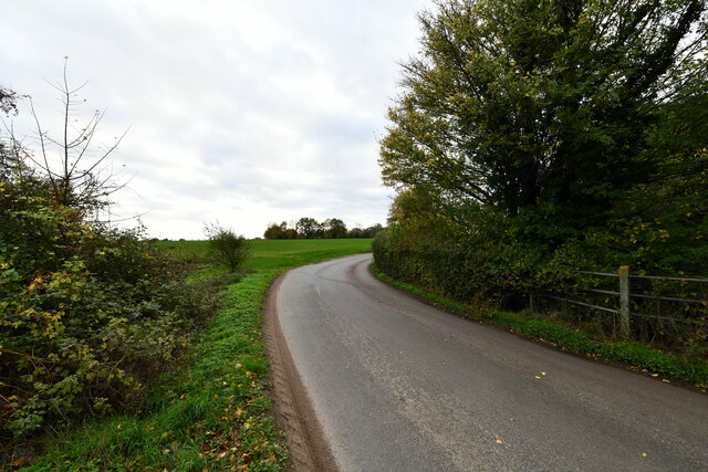
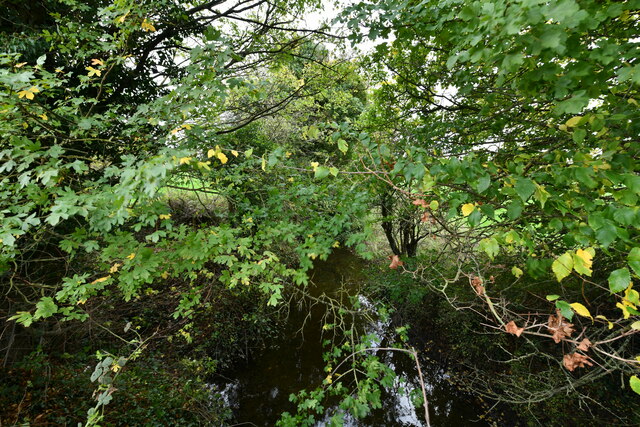
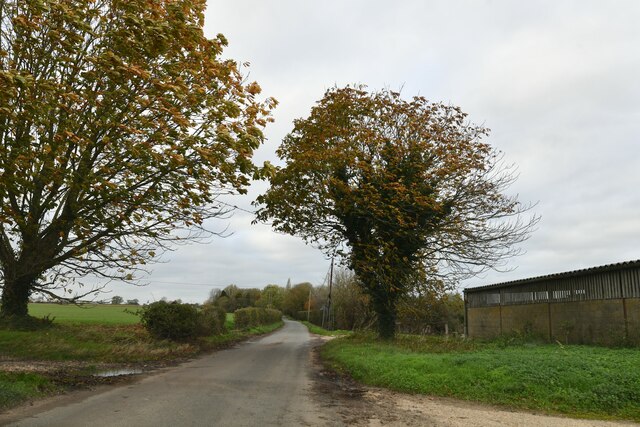
The surrounding countryside offers beautiful landscapes, with the Waveney Valley providing opportunities for walking, cycling, and boating. Diss is also home to the Diss Mere, a natural lake that is a popular spot for wildlife enthusiasts.
Today, Diss is a thriving town with a range of amenities, including shops, restaurants, and schools. It benefits from good transportation links, with a railway station connecting it to Norwich and London. The town's vibrant community spirit is evident through various events and festivals held throughout the year, attracting both locals and visitors alike.
If you have any feedback on the listing, please let us know in the comments section below.
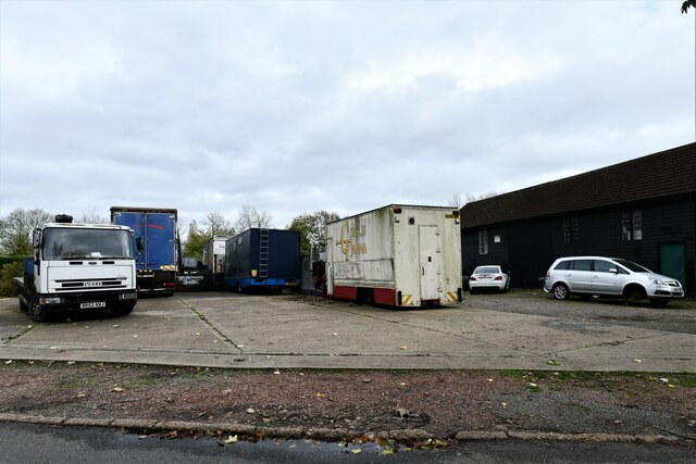
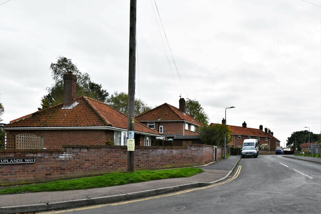
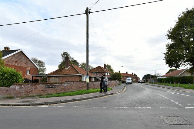
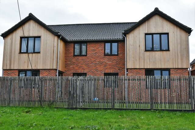
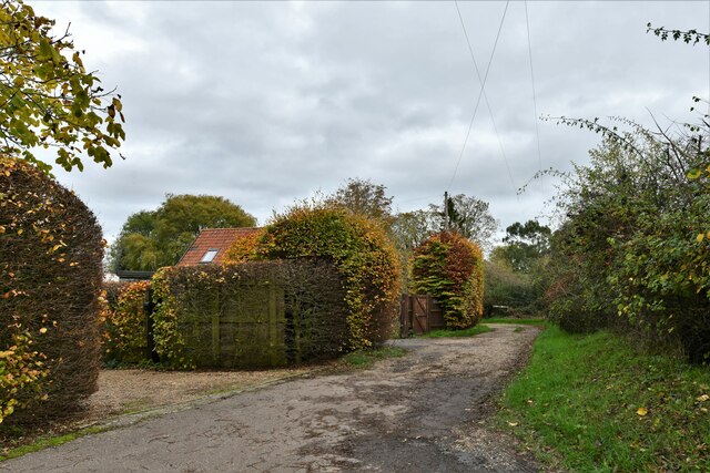
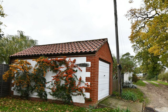
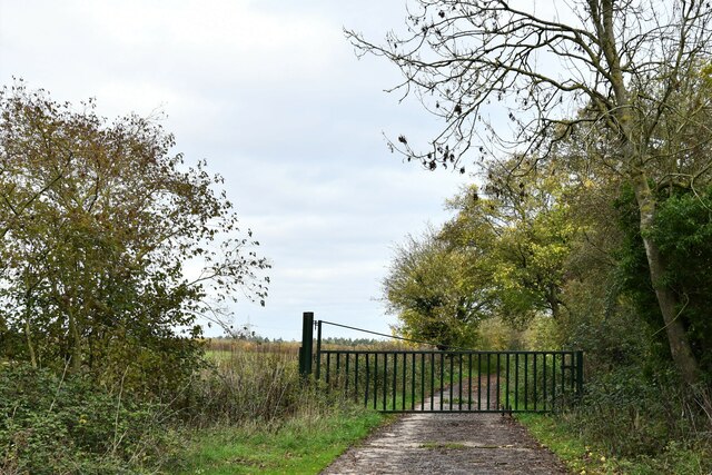
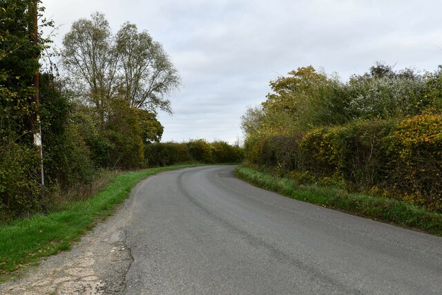
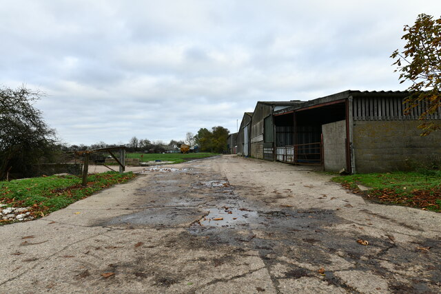
Diss Images
Images are sourced within 2km of 52.380319/1.120297 or Grid Reference TM1280. Thanks to Geograph Open Source API. All images are credited.

Diss is located at Grid Ref: TM1280 (Lat: 52.380319, Lng: 1.120297)
Administrative County: Norfolk
District: South Norfolk
Police Authority: Norfolk
What 3 Words
///unloads.picture.newlyweds. Near Diss, Norfolk
Nearby Locations
Related Wikis

Diss High School
Diss High School is a secondary school and sixth form with academy status located in Diss, Norfolk, England. The school has approximately 931 pupils from...
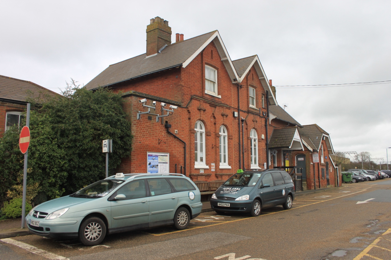
Diss railway station
Diss railway station is on the Great Eastern Main Line in the East of England, serving the market town of Diss, Norfolk. It is 94 miles 43 chains (152...

Diss, Norfolk
Diss is a market town and electoral ward in South Norfolk, England, near the boundary with Suffolk, with a population of 7,572 in 2011. Diss railway station...
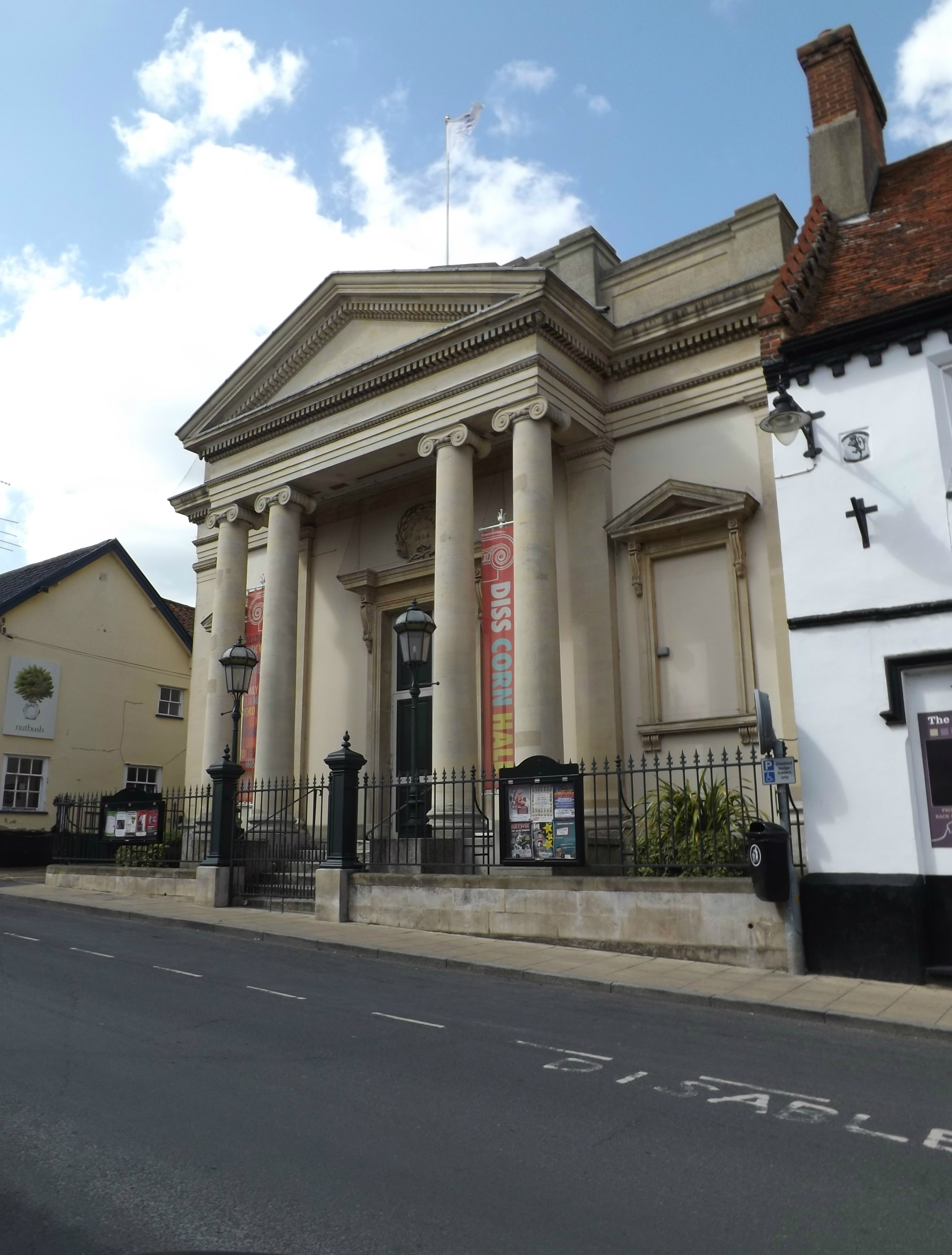
Corn Hall, Diss
The Corn Hall is a commercial building in St Nicholas Street, Diss, Norfolk, England. The structure, which is now used as an arts centre, is a Grade II...

St Andrew's Church, Frenze
St Andrew's Church is a redundant Anglican church in the civil parish of Scole, Norfolk, England. It is recorded in the National Heritage List for England...
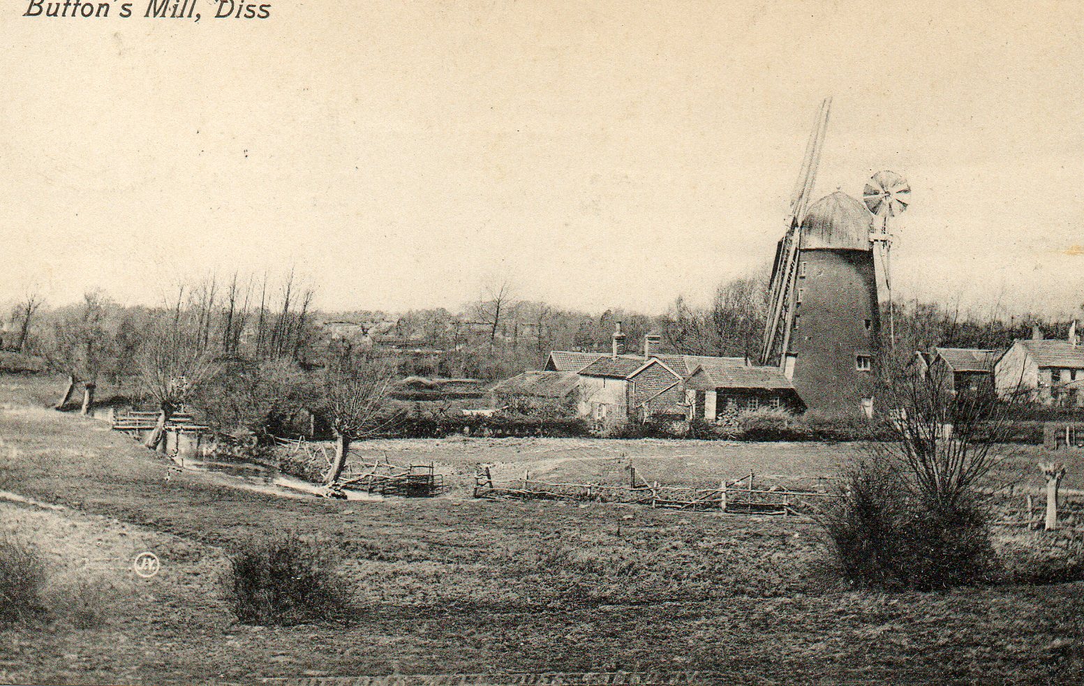
Button's Mill, Diss
Jay's Mill, Button's Mill or Victoria Road Mill is a tower mill at Diss, Norfolk, England which has been truncated and converted to residential accommodation...
Diss Town F.C.
Diss Town Football Club is a football club based in Diss, Norfolk, England. Affiliated to the Norfolk County FA they are currently members of the Eastern...

Palgrave, Suffolk
Palgrave is a village and civil parish in the Mid Suffolk district of Suffolk in eastern England. It is located on the south bank of the River Waveney...
Nearby Amenities
Located within 500m of 52.380319,1.120297Have you been to Diss?
Leave your review of Diss below (or comments, questions and feedback).