Foredown Plantation
Wood, Forest in Devon Mid Devon
England
Foredown Plantation

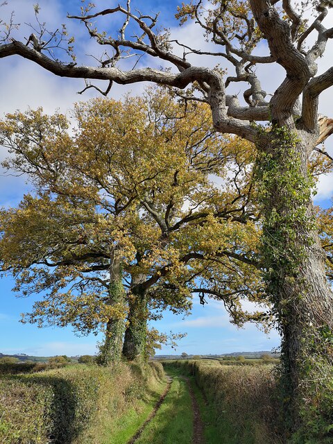
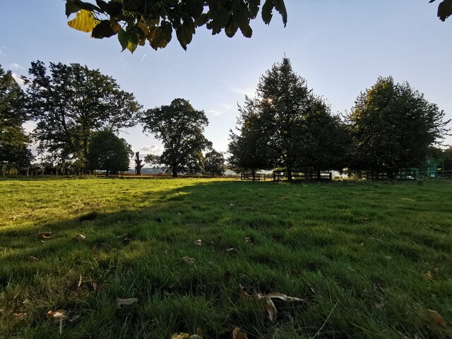
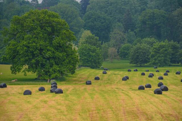
Foredown Plantation is a picturesque woodland area located in Devon, England. Spread across a vast landscape, this plantation is known for its dense forest and varied species of trees. The plantation is primarily composed of deciduous trees such as oak, beech, and birch, which create a vibrant and colorful display during the autumn months.
The woodland is carefully managed to preserve its natural beauty and biodiversity. The forestry team regularly conducts tree thinning and coppicing to maintain a healthy ecosystem and promote the growth of younger trees. This management strategy also benefits the local wildlife, providing a suitable habitat for a range of species including birds, insects, and small mammals.
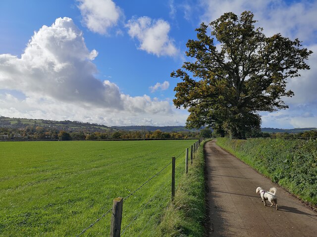
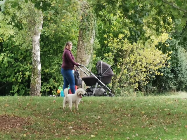
The plantation offers several walking trails for visitors to explore the enchanting woodland. These trails vary in difficulty and length, catering to both casual strollers and avid hikers. The paths wind through the forest, offering glimpses of wildflowers, ferns, and moss-covered rocks along the way.
One of the highlights of Foredown Plantation is its stunning viewpoint, offering panoramic views of the surrounding countryside. From this vantage point, visitors can admire the rolling hills, meandering rivers, and patchwork fields that define the rural landscape of Devon.
Throughout the year, the plantation hosts various events and activities for nature enthusiasts. These include guided nature walks, birdwatching sessions, and educational programs for children. The plantation also serves as a popular spot for picnics and family outings, with designated areas equipped with picnic tables and benches.
Overall, Foredown Plantation is a tranquil retreat where visitors can immerse themselves in the beauty of nature, enjoy recreational activities, and appreciate the diverse flora and fauna that thrive in this stunning woodland.
If you have any feedback on the listing, please let us know in the comments section below.
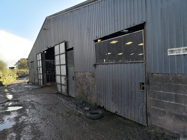
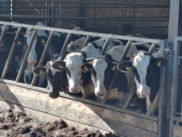
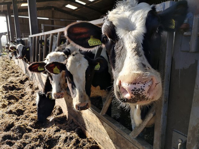
Foredown Plantation Images
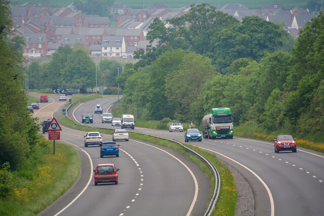
Images are sourced within 2km of 50.930627/-3.478206 or Grid Reference SS9615. Thanks to Geograph Open Source API. All images are credited.


Foredown Plantation is located at Grid Ref: SS9615 (Lat: 50.930627, Lng: -3.478206)
Administrative County: Devon
District: Mid Devon
Police Authority: Devon and Cornwall
What 3 Words
///proved.wonderfully.owns. Near Tiverton, Devon
Related Wikis

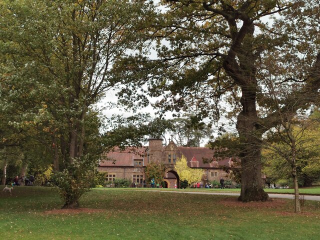
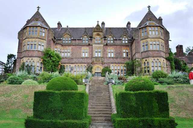
Knightshayes Court
Knightshayes Court is a Victorian country house near Tiverton, Devon, England, designed by William Burges for the Heathcoat-Amory family. Nikolaus Pevsner...

Chevithorne
Chevithorne (grid reference SS9715) is a small village near Tiverton, Devon. It lies three miles to the North East of Tiverton. 'Chenetorne' is identified...
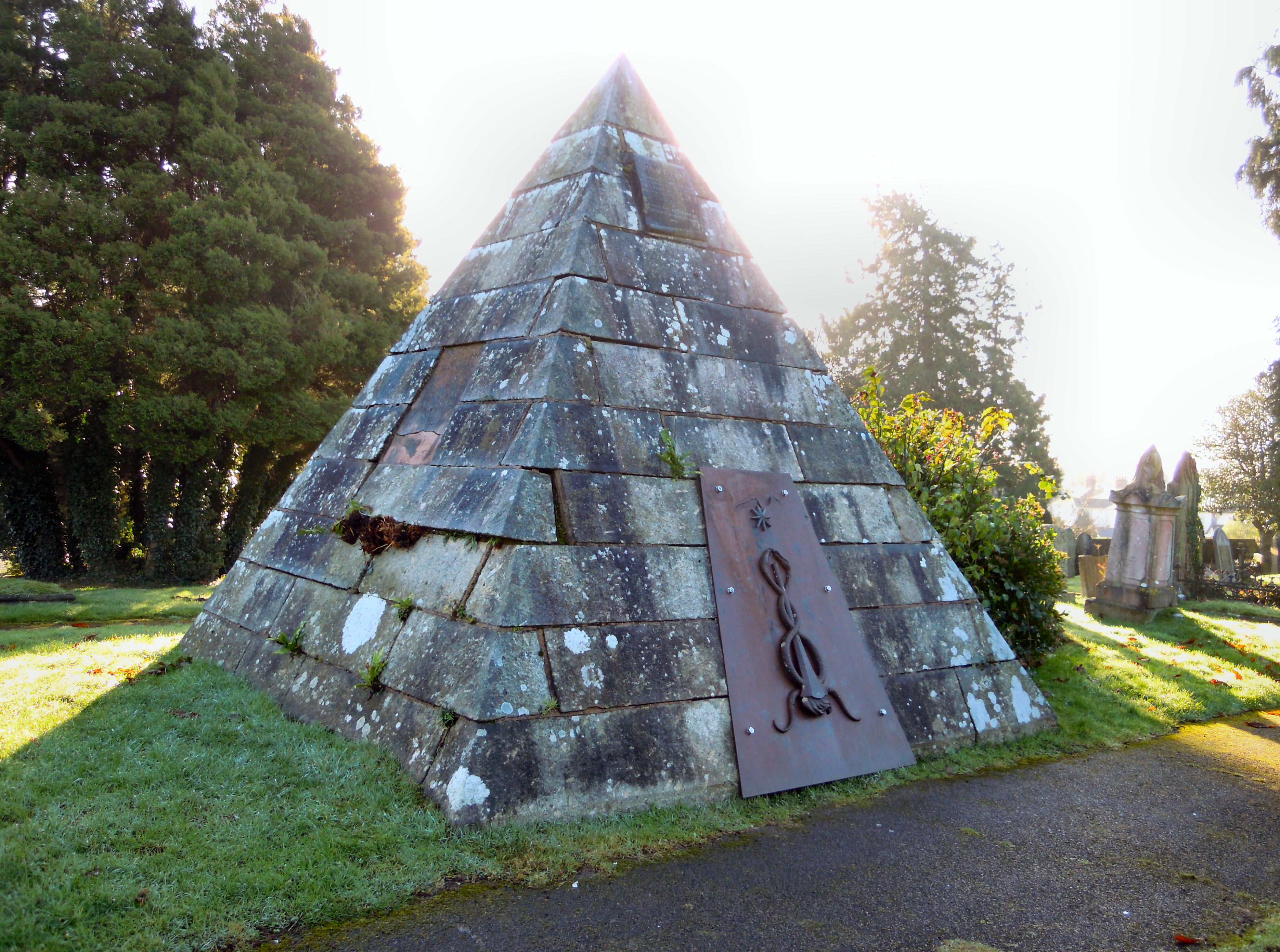
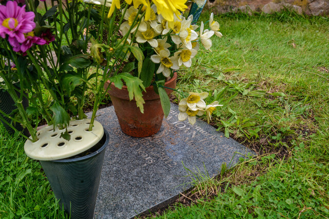
Tiverton Cemetery
Tiverton Cemetery is the burial ground for the town of Tiverton in Devon. The cemetery covers eight acres and is owned and maintained by Mid Devon Council...

Bolham, Devon
Bolham is a village in the parish of Tiverton in Devon, England. It was the object of much attention in December 2011 when a Stags head, said to resemble...
Nearby Amenities
Located within 500m of 50.930627,-3.478206Have you been to Foredown Plantation?
Leave your review of Foredown Plantation below (or comments, questions and feedback).