Wood Close Plantation
Wood, Forest in Somerset Somerset West and Taunton
England
Wood Close Plantation

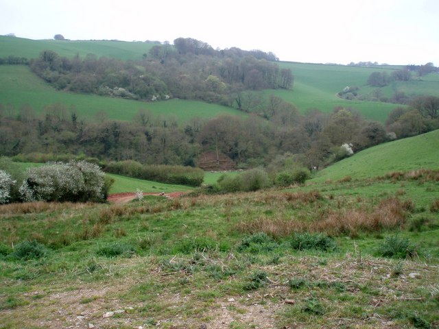
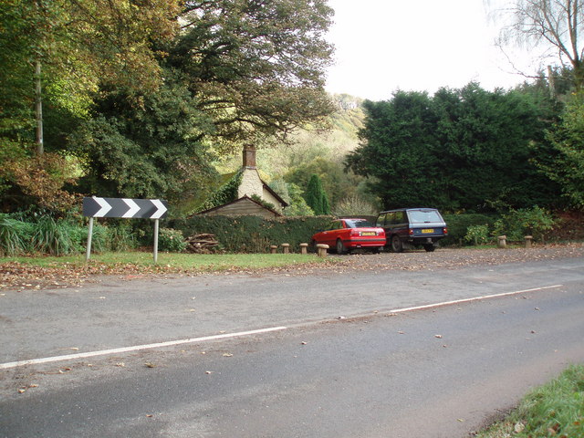
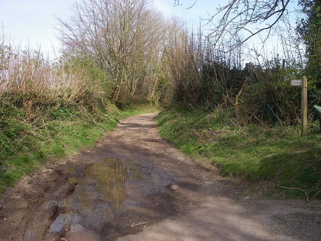
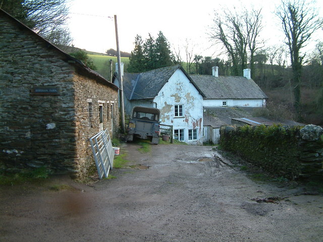
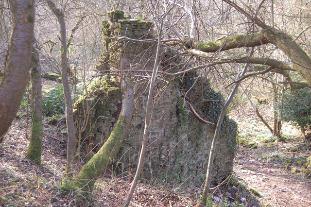
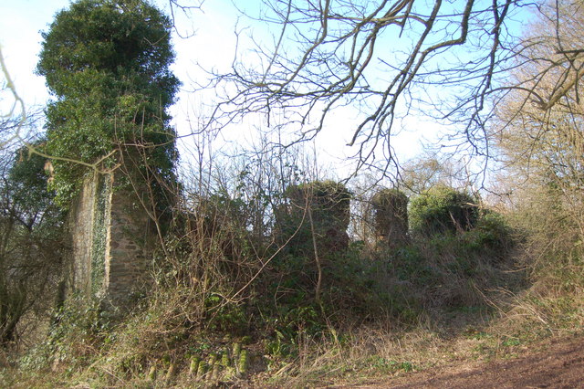
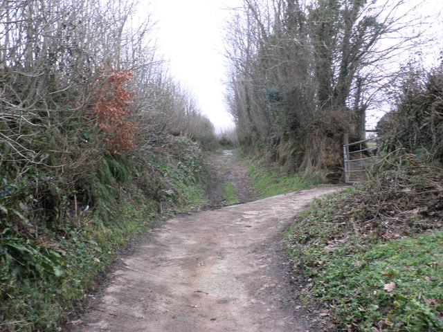
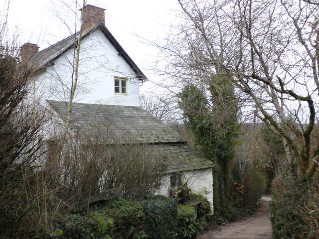
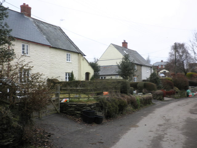
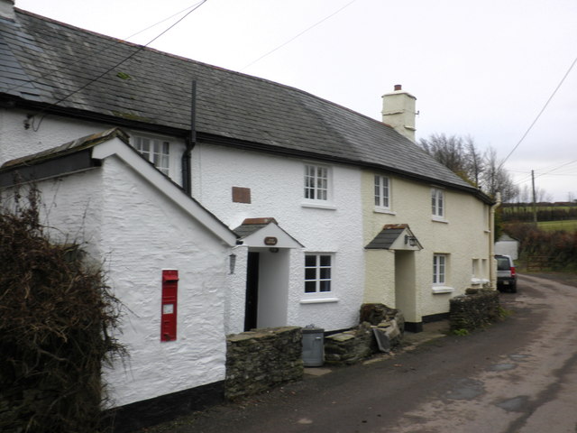
Wood Close Plantation is a charming woodland area located in Somerset, England. Situated near the town of Wood, it covers a sprawling area of lush greenery and diverse flora and fauna. This picturesque plantation is known for its serene environment and scenic beauty, making it a popular destination for nature enthusiasts and hikers.
The plantation is predominantly made up of various species of trees, including oak, beech, and pine, which create a dense canopy and provide a peaceful atmosphere. The woodland floor is covered in a blanket of wildflowers and ferns, adding to the enchanting appeal of the area.
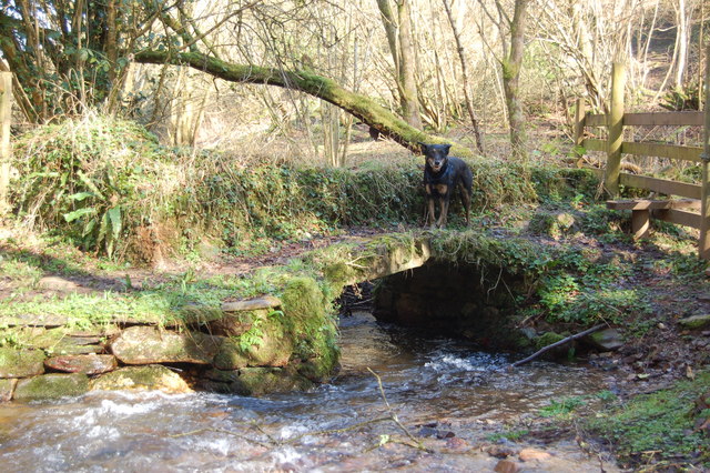
Wood Close Plantation is also home to a wide range of wildlife. The woodland provides a natural habitat for numerous bird species, such as woodpeckers, thrushes, and owls, making it a haven for bird watchers. Squirrels, rabbits, and other small mammals can also be spotted scurrying through the undergrowth.
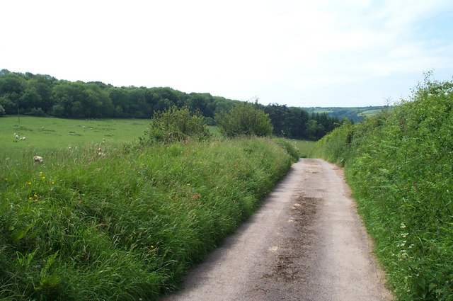
The plantation offers several walking trails and paths, allowing visitors to explore the beauty of the woodland at their own pace. These trails are well-maintained and offer stunning views of the surrounding countryside. There are also picnic areas and benches scattered throughout the plantation, providing opportunities for visitors to relax and enjoy a meal amidst nature.
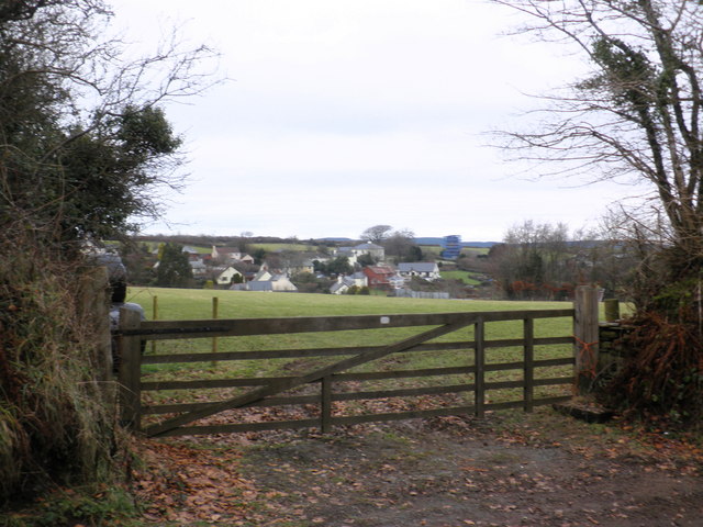
Wood Close Plantation is easily accessible, with ample parking facilities available nearby. The plantation is open to the public throughout the year, allowing visitors to experience the changing seasons and the unique beauty they bring to the woodland. Whether it's a peaceful stroll, birdwatching, or simply appreciating the tranquility of nature, Wood Close Plantation is the perfect destination for those seeking a connection with the natural world.
If you have any feedback on the listing, please let us know in the comments section below.
Wood Close Plantation Images
Images are sourced within 2km of 51.146876/-3.5078664 or Grid Reference SS9439. Thanks to Geograph Open Source API. All images are credited.

Wood Close Plantation is located at Grid Ref: SS9439 (Lat: 51.146876, Lng: -3.5078664)
Administrative County: Somerset
District: Somerset West and Taunton
Police Authority: Avon and Somerset
What 3 Words
///grub.lion.waddled. Near Minehead, Somerset
Nearby Locations
Related Wikis

Church of St John, Cutcombe
The Anglican Church of St John in Cutcombe, Somerset, England was built in the 13th and 14th centuries. It is a Grade II* listed building. == History... ==
Cutcombe
Cutcombe is a village and civil parish 9 miles (14 km) south of Minehead and north of Dulverton straddling the ridge between Exmoor and the Brendon Hills...

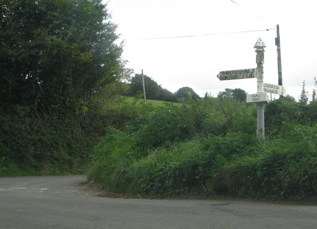
Timberscombe
Timberscombe is a village and civil parish on the River Avill 2.5 miles (4 km) south-west of Dunster, and 5.5 miles (9 km) south of Minehead within the...

Brendon Hills
The Brendon Hills are a range of hills in west Somerset, England. The hills merge level into the eastern side of Exmoor and are included within the Exmoor...

St Mary's Church, Luxborough
The Anglican St Mary's Church at Luxborough within the English county of Somerset dates from the 13th century. It is a Grade II listed building.The chancel...

Luxborough
Luxborough is a small village and civil parish located some 6 miles (9.7 km) south of Dunster, lying amongst the Brendon Hills and the Exmoor National...

Wootton Courtenay
Wootton Courtenay is a village and civil parish on Exmoor in the Somerset West and Taunton district of Somerset, England. The parish includes the hamlets...

Long Wood Enclosure
Long Wood Enclosure is an enclosure which may have been a univallate Iron Age hill fort, in the West Somerset district of Somerset, England. The hill fort...
Nearby Amenities
Located within 500m of 51.146876,-3.5078664Have you been to Wood Close Plantation?
Leave your review of Wood Close Plantation below (or comments, questions and feedback).