Long Close Plantation

Wood, Forest in Somerset Somerset West and Taunton

England

Long Close Plantation

CUTCOMBE, Somerset The church of St John
CUTCOMBE, Somerset Credit: ChurchCrawler

Long Close Plantation is a picturesque woodland area located in Somerset, England. Covering an expansive area of approximately 100 acres, it is a haven for nature enthusiasts and outdoor lovers. The plantation is situated near the village of Long Ashton, just a few miles southwest of the bustling city of Bristol.

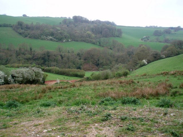
The woodland is predominantly made up of deciduous trees, such as oak, beech, and ash, which create a stunning canopy of foliage during the summer months. These trees provide a habitat for a diverse range of wildlife, including various bird species, squirrels, and deer. The plantation is particularly popular among birdwatchers due to its rich avian population.

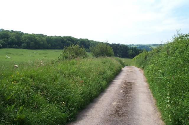
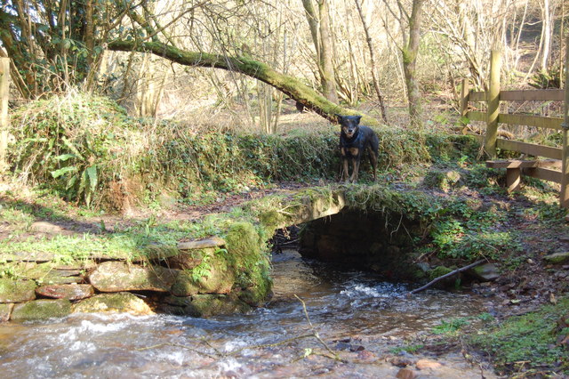
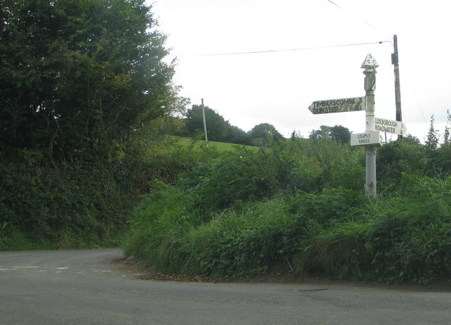
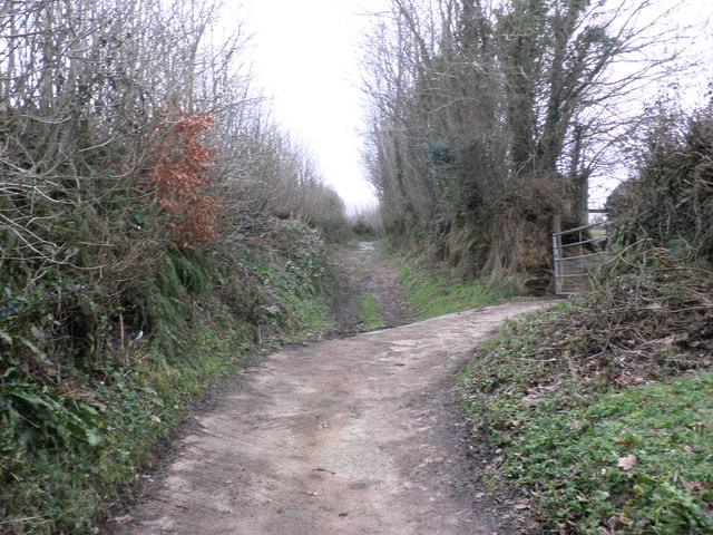
Long Close Plantation offers a network of well-maintained footpaths, allowing visitors to explore the area at their own pace. The trails wind through the woodland, offering glimpses of vibrant wildflowers and ferns that thrive in the fertile soil. The plantation is also home to a small stream, which adds to the tranquility and natural beauty of the surroundings.

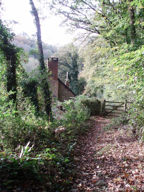
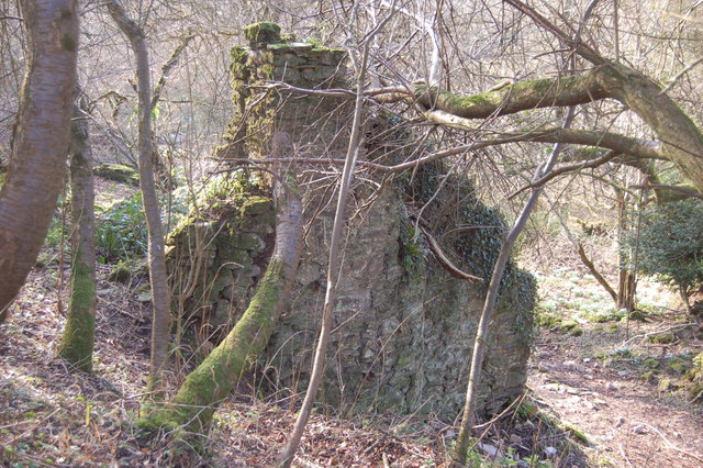
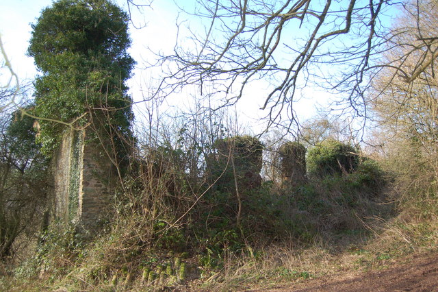
In addition to its natural beauty, Long Close Plantation also holds historical significance. It is believed to have been part of a larger estate in the past, with remnants of old stone walls and boundaries still visible in certain areas.

Overall, Long Close Plantation in Somerset is a stunning woodland retreat that offers a peaceful escape from the hustle and bustle of urban life. With its diverse flora and fauna, well-maintained trails, and historical charm, it is a must-visit destination for nature lovers and those seeking a slice of tranquility in the heart of the countryside.

If you have any feedback on the listing, please let us know in the comments section below.

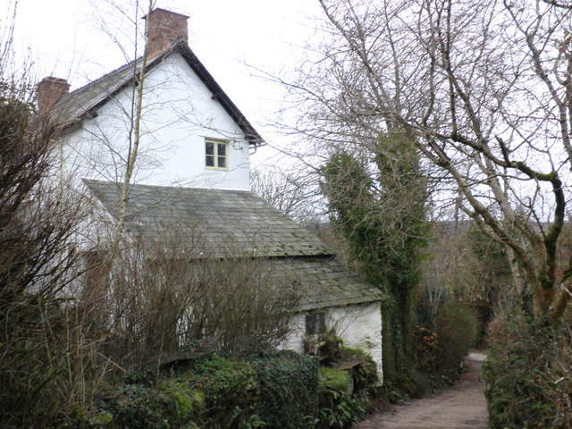
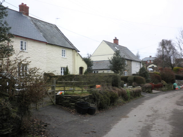
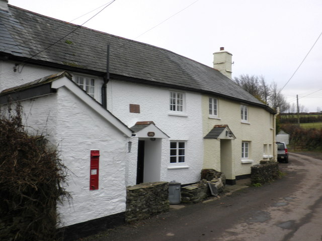
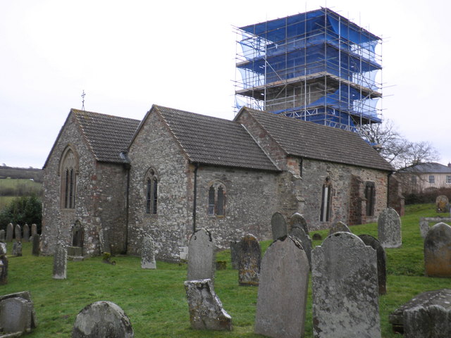
Long Close Plantation Images

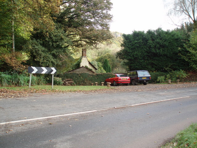
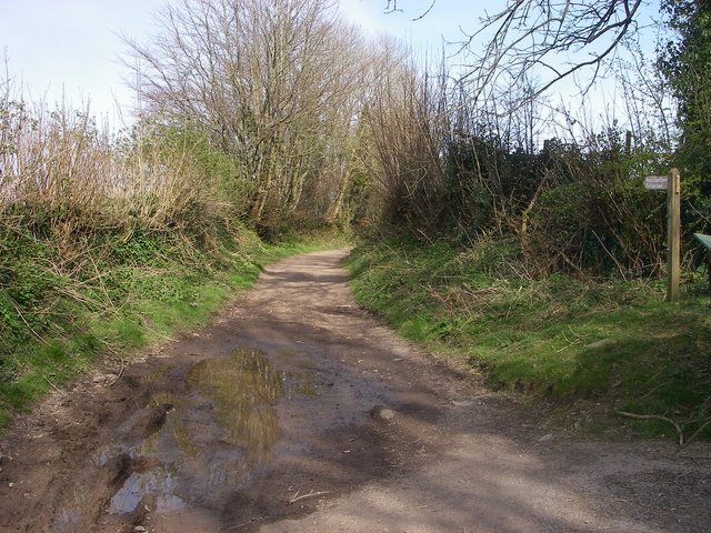
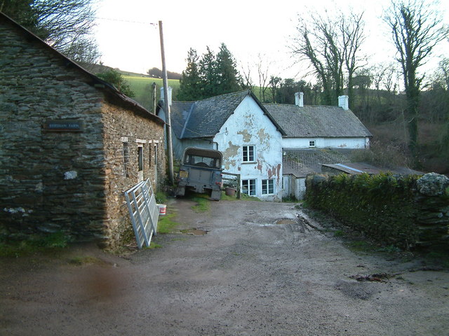
Images are sourced within 2km of 51.149308/-3.5082174 or Grid Reference SS9439. Thanks to Geograph Open Source API. All images are credited.

CUTCOMBE, Somerset The church of St John
CUTCOMBE, Somerset
The church of St John
Timberscombe The combe runs southwards from the village of the same name.
Timberscombe
The combe runs southwards from the village of the same name.
The track to Stowey Farm
House at Couple Cross, in the Brendon Hills
Sully Sully consists of one cottage. Photo taken from the footpath in the woods behind the cottage.
Sully
Sully consists of one cottage. Photo taken from the footpath in the woods behind the cottage.
Sully, on the A396 near Wheddon Cross. The one and only dwelling in Sully.
Sully, on the A396 near Wheddon Cross.
The one and only dwelling in Sully.
Cutcombe: Old Stowey Looking down on the farm from the road between Heath Poult Cross and Timberscombe with Croydon Hill on the skyline. View east-north-east
Cutcombe: Old Stowey
Looking down on the farm from the road between Heath Poult Cross and Timberscombe with Croydon Hill on the skyline. View east-north-east
Putham Lane Leading east from Cutcombe - this is one of many restricted byways in this part of Exmoor.
Putham Lane
Leading east from Cutcombe - this is one of many restricted byways in this part of Exmoor.
Kersham Farm
Kersham Farm
The foot bridge to Clicket Clicket was once a lively village but is no longer shown on the map.
The foot bridge to Clicket
Clicket was once a lively village but is no longer shown on the map.
Remains of a cottage in Clicket village The village was finally abandoned about 100 years ago but shapes of buildings are still obvious. The Exmoor wind, weather and vegetation have reduced many to lines of moss covered stones. All roof structures have disappeared.
Remains of a cottage in Clicket village
The village was finally abandoned about 100 years ago but shapes of buildings are still obvious. The Exmoor wind, weather and vegetation have reduced many to lines of moss covered stones. All roof structures have disappeared.
Ivy covered remains of Thorn Farm, Clicket The remains of the long lost village of Clicket hide in the secret heart of the hills between Timberscombe and Luxborough
Ivy covered remains of Thorn Farm, Clicket
The remains of the long lost village of Clicket hide in the secret heart of the hills between Timberscombe and Luxborough
Couple Cross
Couple Cross
Coleridge Way, near Cutcombe Cross
Cross Cottage, Cutcombe
Cutcombe village
Cutcombe village
Cottages with letterbox, Cutcombe
St John's Church, Cutcombe
Show me another place!

Long Close Plantation is located at Grid Ref: SS9439 (Lat: 51.149308, Lng: -3.5082174)

Administrative County: Somerset

District: Somerset West and Taunton

Police Authority: Avon and Somerset

What 3 Words

///implore.brambles.joggers. Near Minehead, Somerset

Related Wikis

Nearby Amenities

Located within 500m of 51.149308,-3.5082174
The data included in this document is from www.openstreetmap.org. The data is made available under ODbL.

Have you been to Long Close Plantation?

Leave your review of Long Close Plantation below (or comments, questions and feedback).