Blindlane Copse
Wood, Forest in Devon East Devon
England
Blindlane Copse
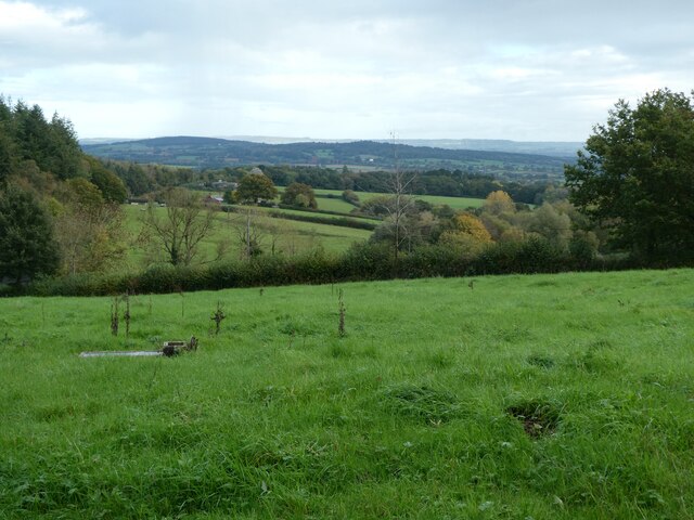
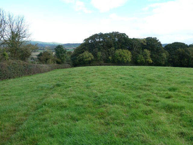
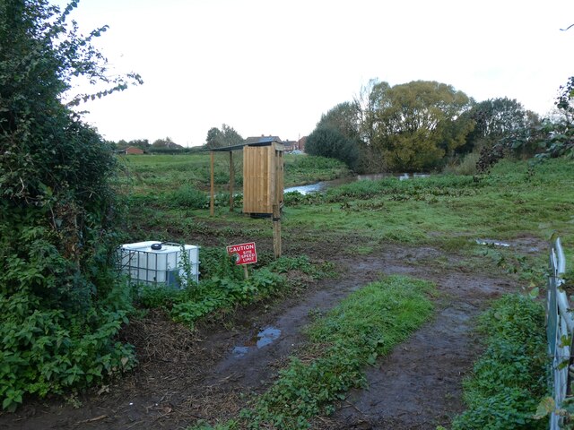
Blindlane Copse is a small woodland area located in Devon, England. It is situated near the village of Blindlane, hence the name. Covering an approximate area of 10 acres, this copse is a scenic natural habitat that draws visitors from both local and surrounding areas.
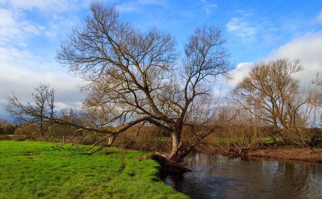
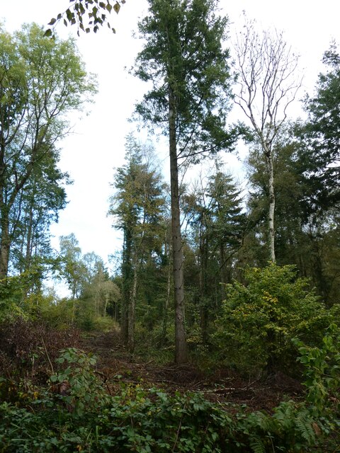
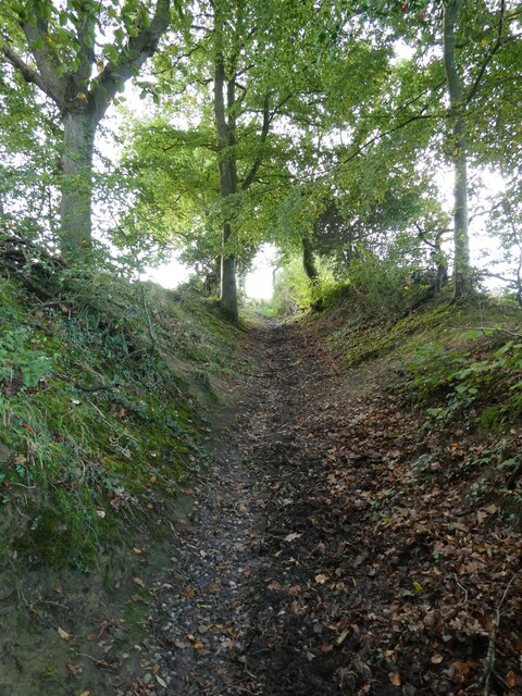
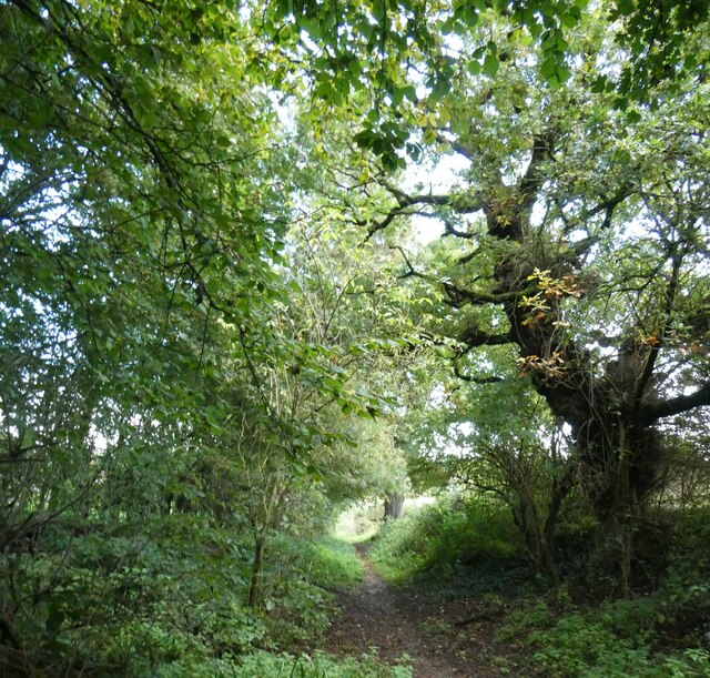
The copse is predominantly composed of native tree species, such as oak, beech, and ash. These trees form a dense canopy, allowing only dappled sunlight to filter through, creating a serene and peaceful setting. The forest floor is carpeted with a rich variety of plants, including bluebells, ferns, and mosses, adding to the copse's charm and biodiversity.
Blindlane Copse is renowned for its diverse wildlife, which includes a multitude of bird species, such as woodpeckers, owls, and warblers. Small mammals, such as squirrels and rabbits, can also be spotted scurrying through the undergrowth. The copse provides a vital habitat for these creatures, offering shelter and sustenance.
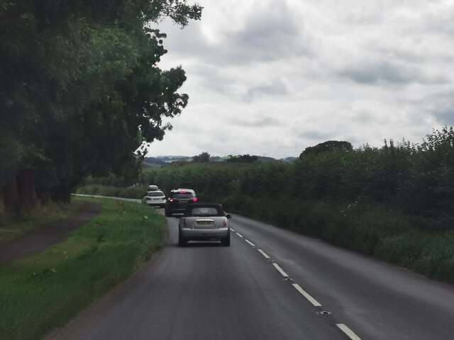
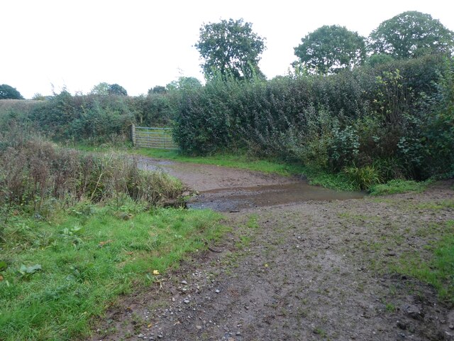
The copse is a popular destination for nature enthusiasts, walkers, and photographers. It offers a network of well-maintained footpaths, allowing visitors to explore its hidden corners and immerse themselves in its natural beauty. The peaceful ambiance and abundant flora and fauna provide a perfect escape from the hustle and bustle of everyday life.
Managed by the local council, Blindlane Copse is subject to conservation efforts to preserve its unique ecosystem. Visitors are encouraged to respect the environment and adhere to the guidelines in place to ensure the copse's long-term preservation and enjoyment for generations to come.
If you have any feedback on the listing, please let us know in the comments section below.
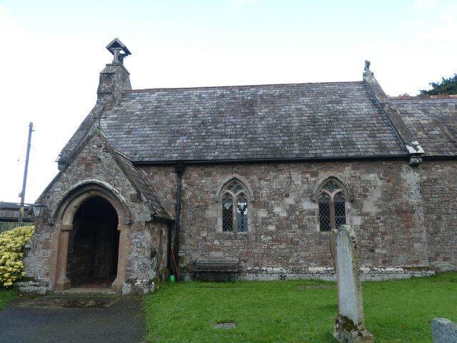
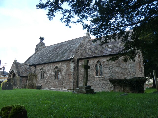
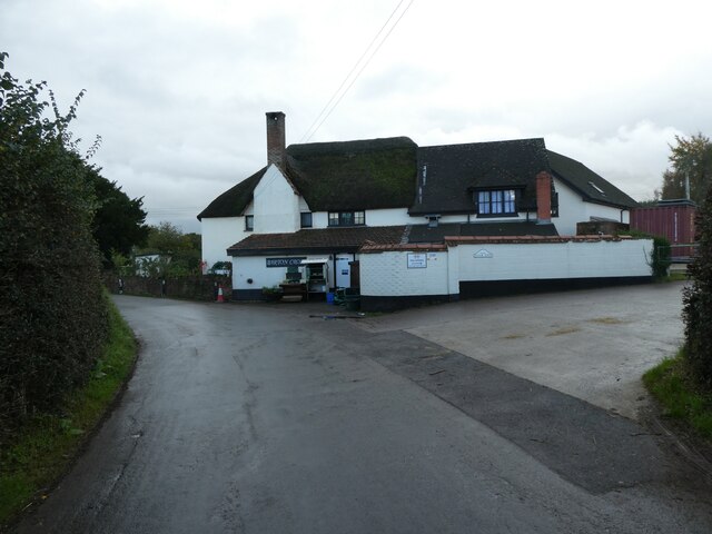
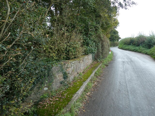
Blindlane Copse Images
Images are sourced within 2km of 50.767421/-3.4965245 or Grid Reference SX9497. Thanks to Geograph Open Source API. All images are credited.
Blindlane Copse is located at Grid Ref: SX9497 (Lat: 50.767421, Lng: -3.4965245)
Administrative County: Devon
District: East Devon
Police Authority: Devon and Cornwall
What 3 Words
///redeemed.sprains.wiring. Near Heavitree, Devon
Nearby Locations
Related Wikis
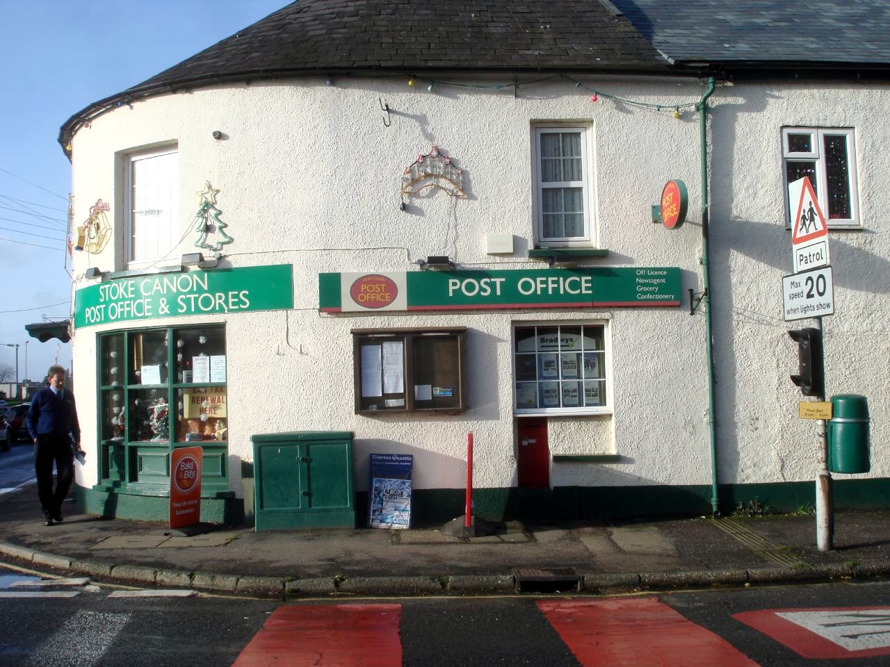
Stoke Canon
Stoke Canon is a small village and civil parish near the confluence of the rivers Exe and Culm on the main A396 between Exeter and Tiverton in the English...

Huxham
Huxham is a hamlet and civil parish in the county of Devon, England and the district of East Devon and lies about 3 miles from Exeter. The parish has an...

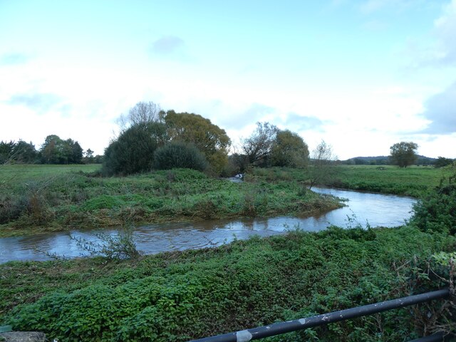
River Culm
The River Culm flows through the Devon Redlands in Devon, England and is the longest tributary of the River Exe. It rises in the Blackdown Hills at a spring...

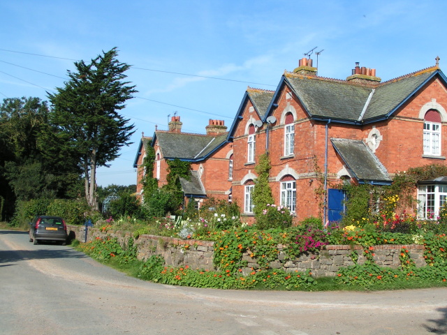
Rewe, Devon
Rewe is a village and civil parish in the county of Devon in England. It lies on the river Culm, 5 miles (8 km) north of the city of Exeter and 9 miles...

Poltimore
Poltimore is a village, civil parish and former manor in the East Devon district, in the county of Devon, England. It lies approximately 5 miles (8.0 km...

Brampford Speke
Brampford Speke ( BRAM-fərdz-beek) is a small village in Devon, 4 miles (6 km) to the north of Exeter. The population is 419. It is located on red sandstone...

Poltimore House
Poltimore House is an 18th-century country house in Poltimore, Devon, England. The Manor of Poltimore was from the 13th to the 20th century the seat of...
Nether Exe
Nether Exe or Netherexe is a very small village and civil parish in Devon, England. It lies near the River Exe, as its name suggests, about 5 miles (8...
Nearby Amenities
Located within 500m of 50.767421,-3.4965245Have you been to Blindlane Copse?
Leave your review of Blindlane Copse below (or comments, questions and feedback).