Scarlaw Wood
Wood, Forest in Berwickshire
Scotland
Scarlaw Wood
Scarlaw Wood is a picturesque forest located in the county of Berwickshire, Scotland. Spanning over an area of approximately 500 acres, it is nestled in the heart of the Scottish Borders, near the village of Lauder. The wood is surrounded by rolling hills and offers breathtaking views of the surrounding countryside.
Scarlaw Wood is primarily composed of native broadleaf trees, including oak, beech, and ash, creating a diverse and vibrant ecosystem. The woodland floor is covered with a rich carpet of ferns, bluebells, and other wildflowers, adding to its natural beauty. The forest is also home to a variety of wildlife, including red squirrels, roe deer, and a wide range of bird species, making it a popular spot for nature enthusiasts and birdwatchers.
The wood features well-maintained walking trails, offering visitors an opportunity to explore its natural wonders. There are several paths of varying lengths and difficulties, catering to both casual walkers and more experienced hikers. These trails wind through the forest, allowing visitors to immerse themselves in the tranquility and beauty of the surroundings.
Scarlaw Wood is managed by the local forestry commission, ensuring the preservation of its natural habitats and the sustainability of its resources. It also serves as a recreational area for the local community, providing a peaceful retreat for picnics, leisurely walks, and outdoor activities.
Overall, Scarlaw Wood is a hidden gem in the Berwickshire countryside, offering visitors a chance to connect with nature, enjoy stunning vistas, and experience the tranquility of a truly enchanting woodland.
If you have any feedback on the listing, please let us know in the comments section below.
Scarlaw Wood Images
Images are sourced within 2km of 55.797402/-2.5498092 or Grid Reference NT6556. Thanks to Geograph Open Source API. All images are credited.
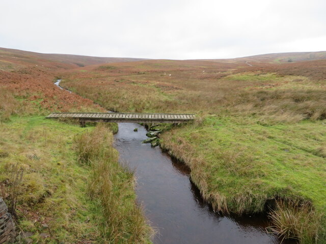
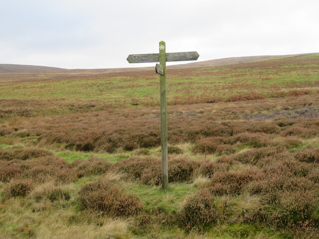
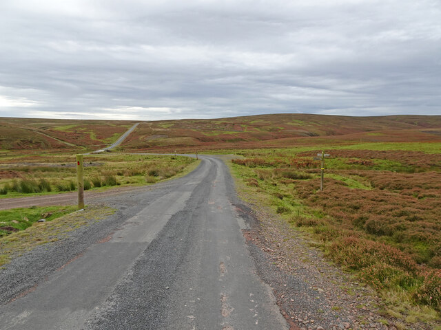
![Woodland at Scarlaw Looking east from the Fallago Rig Wind Farm access road, east of Twinlaw. Watch Water Reservoir can be seen through the trees, and the hill in the right distance is Dirrington Great Law [5.3km].](https://s3.geograph.org.uk/geophotos/07/33/96/7339667_357c3e96.jpg)
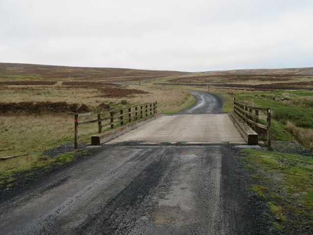
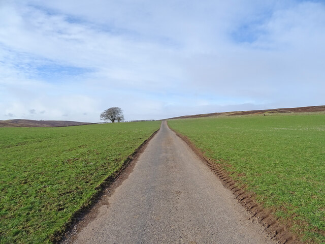
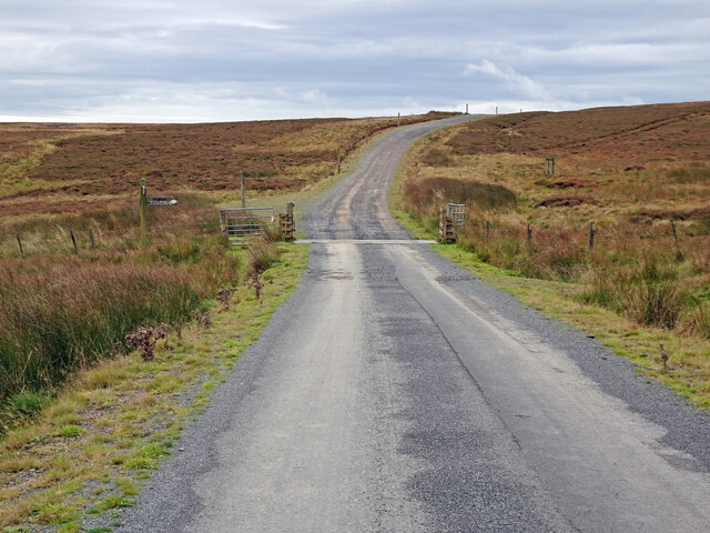
![The Fallago Rig Wind Farm access road Heading north over the Lammermuir hills just over 320m [&gt;1000feet]. Not the shortest route from &#039;civilization&#039; but much better for the local communities.](https://s1.geograph.org.uk/geophotos/07/33/96/7339677_5b1e5c1e.jpg)
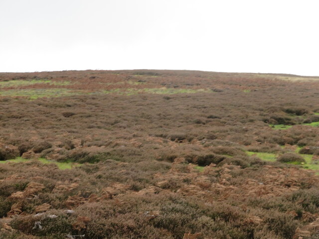
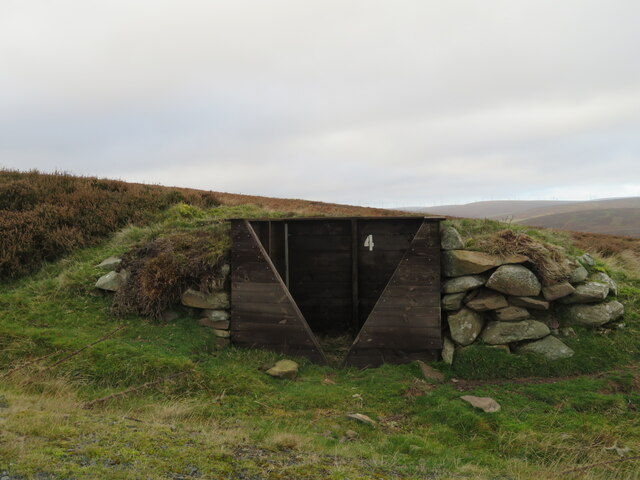
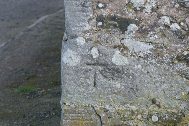
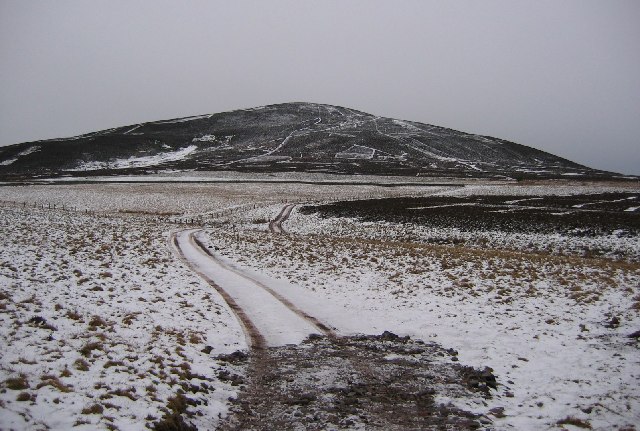
![Memorial [?] pillar on Dunside Hill Just off the Fallago Rig Wind Farm access road at the col between Dunside Hill and Scar Law. Inscribed J.O.H. 1994, but I have yet to find anything more about it.](https://s2.geograph.org.uk/geophotos/07/34/05/7340550_67e7e0d8.jpg)
Scarlaw Wood is located at Grid Ref: NT6556 (Lat: 55.797402, Lng: -2.5498092)
Unitary Authority: The Scottish Borders
Police Authority: The Lothians and Scottish Borders
What 3 Words
///gazes.light.doses. Near Duns, Scottish Borders
Nearby Locations
Related Wikis

Watch Water
The Watch Water is a river in the Scottish Borders area of Scotland. It rises in the Lammermuir Hills, around 8 kilometres (5.0 mi) west of Longformacus...

Longformacus
Longformacus (Scottish Gaelic: Longphort Mhacais) is a small village in Berwickshire in the Scottish Borders area of Scotland. It is around 10 kilometres...

Longformacus House
Longformacus House is a mansion near the village of Longformacus, Scottish Borders, Scotland. == History == The estate was once owned by the Earls of...
Dirrington Great Law
Dirrington Great Law is a hill in the Scottish Borders area of Scotland, in the former county of Berwickshire. The summit is around 2.5 kilometres (1.6...

Mutiny Stones
The Mutiny Stones are a megalithic monument in the Lammermuir Hills, Scotland.Situated on Byrecleugh Rig, the nearest centre of habitation is at Longformacus...

Blackadder Water
Blackadder Water () is a river in Berwickshire in the Scottish Borders area of Scotland, forming part of the River Tweed system. It reached 2.84m at Mouthbridge...

Bedshiel
Bedshiel is a village in the Scottish Borders area of Scotland on the B6456, six miles from Duns, two miles from Greenlaw, Longformacus and Westruther...

Berwickshire
Berwickshire (; Scottish Gaelic: Siorrachd Bhearaig) is a historic county, registration county and lieutenancy area in south-eastern Scotland, on the English...
Nearby Amenities
Located within 500m of 55.797402,-2.5498092Have you been to Scarlaw Wood?
Leave your review of Scarlaw Wood below (or comments, questions and feedback).