Strathywell Belt
Wood, Forest in Kincardineshire
Scotland
Strathywell Belt
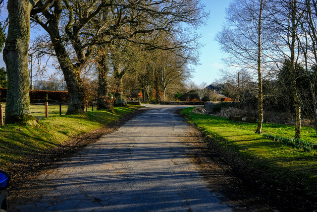
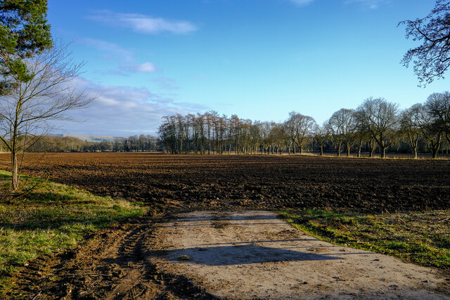
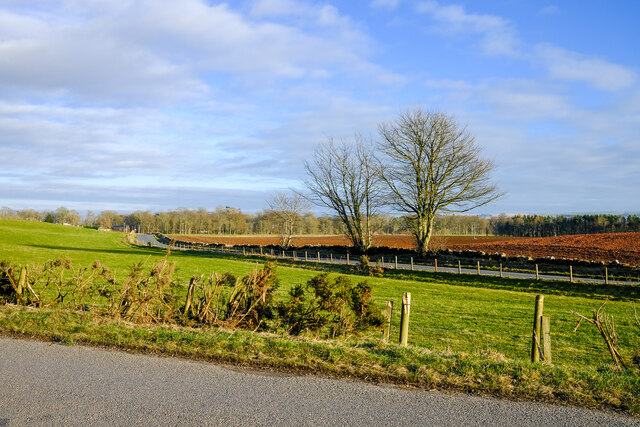
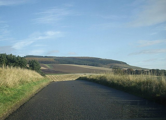
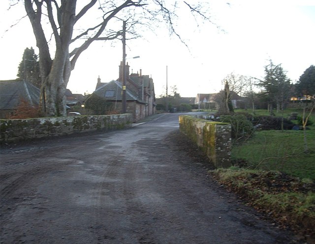
Strathywell Belt is a scenic woodland area located in Kincardineshire, Scotland. Covering an expansive area, it is known for its lush greenery and diverse range of flora and fauna. The belt is situated near the village of Strathywell, which adds to its accessibility and popularity among locals and tourists alike.
The forest is predominantly made up of deciduous trees such as oak, beech, and birch, which provide a vibrant display of colors throughout the seasons. The dense canopy of the trees creates a serene and secluded atmosphere, making it an ideal destination for nature lovers and outdoor enthusiasts.
The Strathywell Belt is home to a wide variety of wildlife, including deer, foxes, badgers, and numerous bird species. Birdwatchers can spot birds like woodpeckers, owls, and various songbirds in the area. The forest also has a network of walking trails, allowing visitors to explore the natural beauty at their own pace. These trails range from easy strolls to more challenging hikes, catering to different fitness levels and interests.
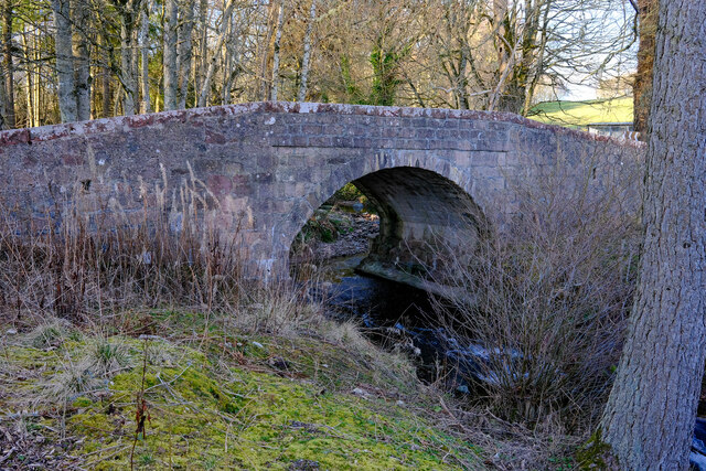
In addition to its natural beauty, Strathywell Belt has historical significance too. The area was once used as a hunting ground by Scottish nobles and retains traces of the ancient hunting lodges that were once present. Some of these lodges have been restored and converted into visitor centers, providing information on the forest's history and offering amenities like picnic areas and toilets.
Overall, the Strathywell Belt in Kincardineshire is a captivating woodland area that offers a perfect blend of natural beauty, wildlife, and historical charm. Its accessibility, diverse vegetation, and well-maintained trails make it a must-visit destination for nature enthusiasts and history buffs alike.
If you have any feedback on the listing, please let us know in the comments section below.
Strathywell Belt Images
Images are sourced within 2km of 56.860269/-2.5718053 or Grid Reference NO6574. Thanks to Geograph Open Source API. All images are credited.
Strathywell Belt is located at Grid Ref: NO6574 (Lat: 56.860269, Lng: -2.5718053)
Unitary Authority: Aberdeenshire
Police Authority: North East
What 3 Words
///seducing.yourself.winters. Near Laurencekirk, Aberdeenshire
Nearby Locations
Related Wikis

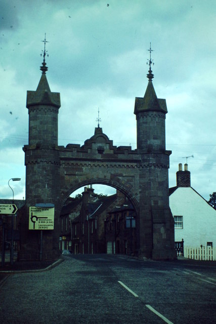
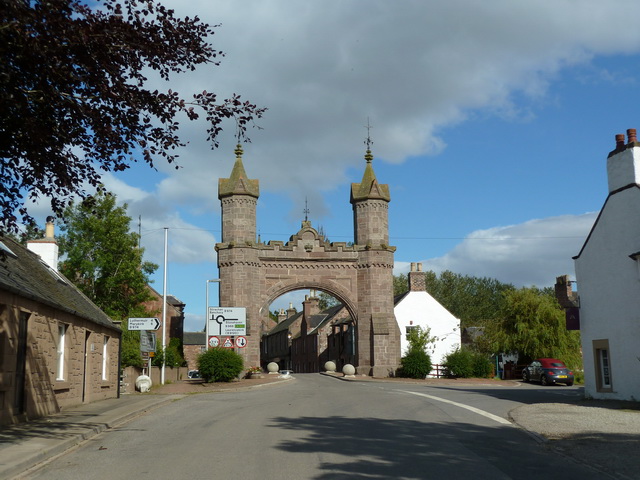
Fettercairn
Fettercairn (, Scottish Gaelic: Fothair Chàrdain) is a small village in Aberdeenshire, Scotland, northwest of Laurencekirk in Aberdeenshire on the B966...

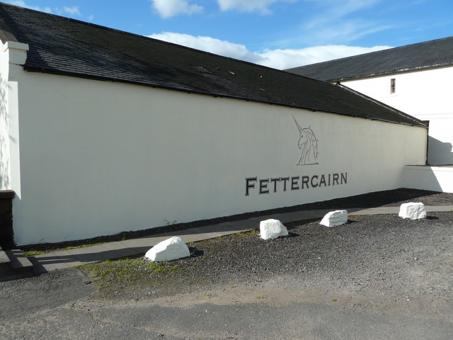
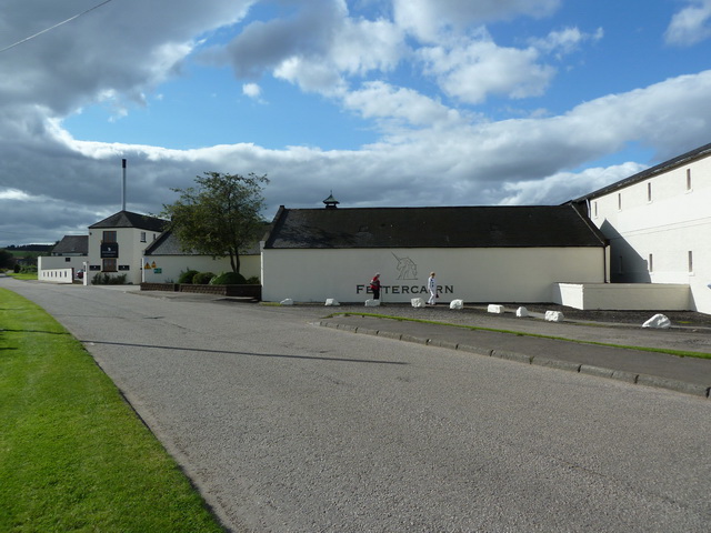
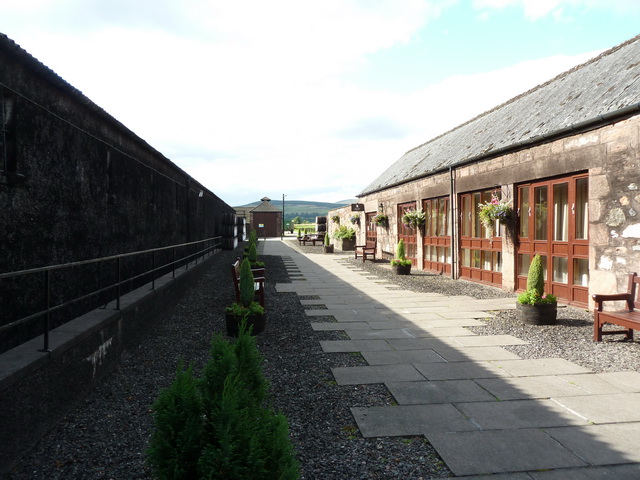
Fettercairn distillery
Fettercairn distillery is a whisky distillery in Fettercairn. Situated under the Grampian foothills in the Howe of Mearns, Fettercairn town’s name is...

Fasque House
Fasque, also known as Fasque House or Fasque Castle, is a mansion in Aberdeenshire, Scotland, situated near the village of Fettercairn, in the former county...

Kincardine, Aberdeenshire
Kincardine was a burgh in Scotland, near the present-day village of Fettercairn. It served as the first county town of Kincardineshire. The settlement...
Nearby Amenities
Located within 500m of 56.860269,-2.5718053Have you been to Strathywell Belt?
Leave your review of Strathywell Belt below (or comments, questions and feedback).