Clessley Plantation

Wood, Forest in Roxburghshire

Scotland

Clessley Plantation

Beside the Shaw Burn An unplanted strip between the burn and conifers. The ground is damp and grass/meadowsweet long.  Across the burn there is a more recent plantation.
Beside the Shaw Burn Credit: Richard Webb

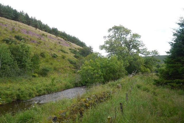
Clessley Plantation is a charming woodland located in the picturesque region of Roxburghshire, Scotland. Situated near the village of Wood, this forested area spans across a vast expanse of land, offering visitors a serene and tranquil retreat from the hustle and bustle of modern life.

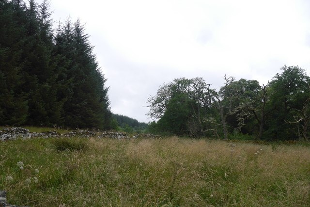
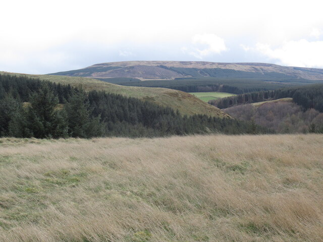
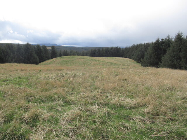
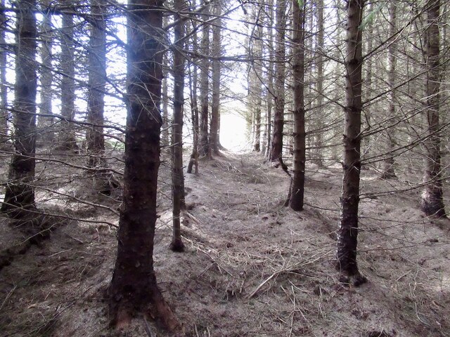
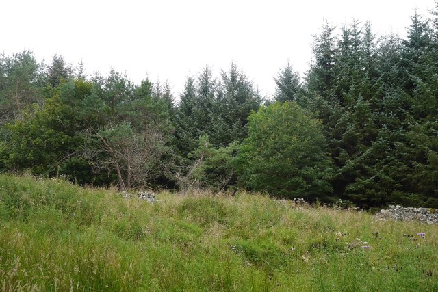
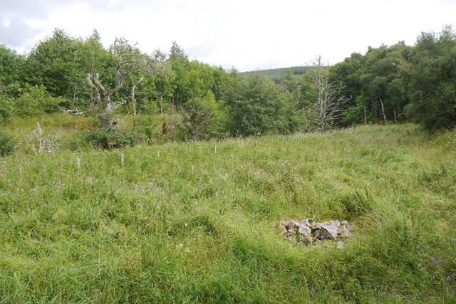
The plantation is known for its beautiful and diverse range of trees and vegetation. It boasts an impressive selection of native Scottish species, including oak, birch, and pine trees, which provide a rich and vibrant tapestry of colors throughout the seasons. The forest floor is also abundant with various wildflowers, ferns, and mosses, creating a lush and enchanting atmosphere.

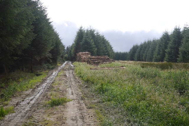
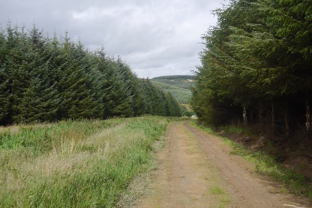
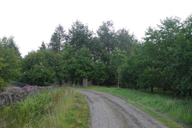
The plantation is renowned for its well-maintained walking trails, which allow visitors to explore the area at their own pace. These paths wind through the forest, offering glimpses of wildlife such as deer, squirrels, and a wide variety of bird species. Nature enthusiasts will find delight in the opportunity to observe and appreciate the diverse range of flora and fauna that call Clessley Plantation their home.

For those seeking a peaceful and idyllic spot for recreation, Clessley Plantation offers picnic areas and benches where visitors can relax and enjoy the tranquility of the surroundings. The plantation is also a popular destination for photographers and artists, who are inspired by its natural beauty.

Overall, Clessley Plantation is a hidden gem in Roxburghshire, offering a haven of peace and natural beauty. Whether you are looking for a leisurely walk, a picnic spot, or simply a place to reconnect with nature, this woodland retreat is sure to leave a lasting impression.

If you have any feedback on the listing, please let us know in the comments section below.

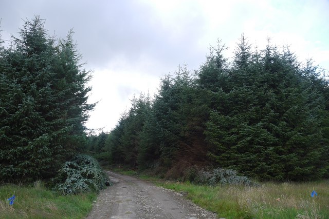
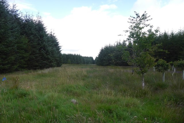
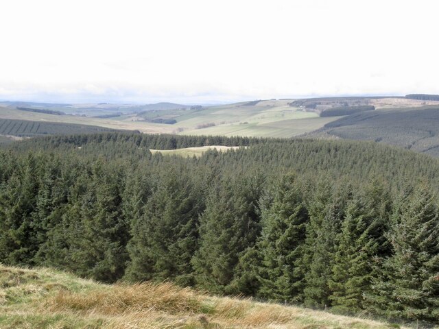
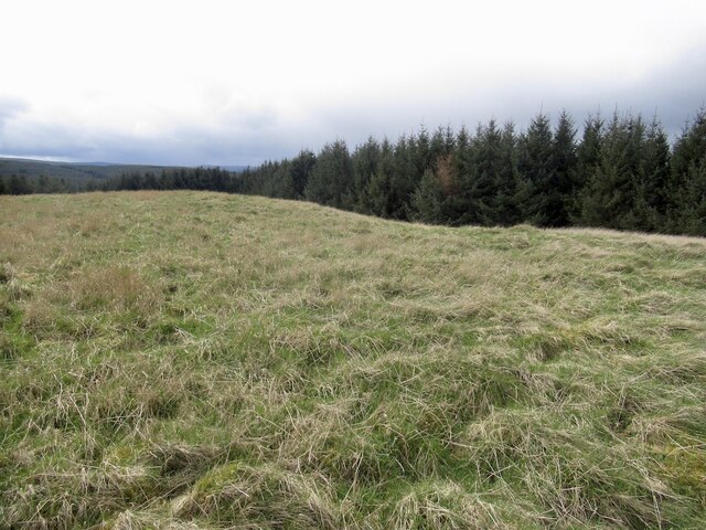
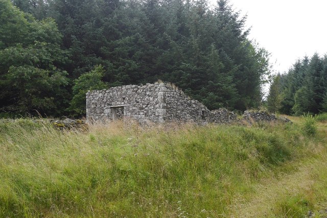
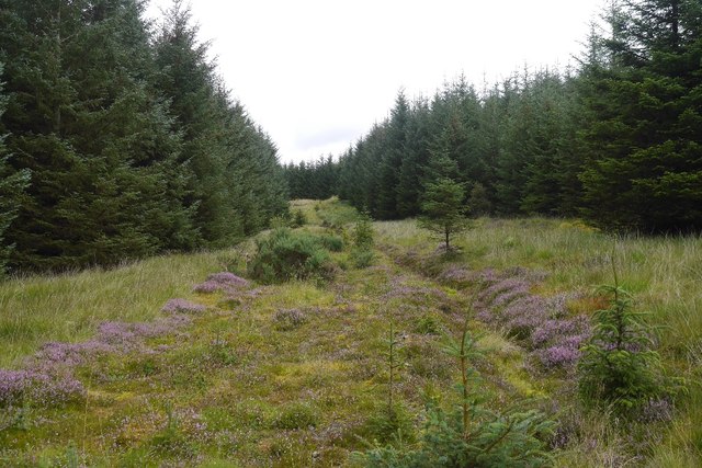
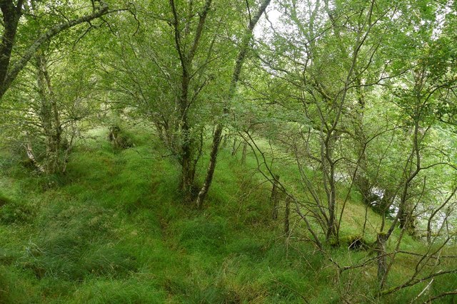
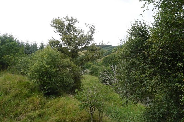
Clessley Plantation Images

Images are sourced within 2km of 55.390754/-2.5505435 or Grid Reference NT6510. Thanks to Geograph Open Source API. All images are credited.

Beside the Shaw Burn An unplanted strip between the burn and conifers. The ground is damp and grass/meadowsweet long.  Across the burn there is a more recent plantation.
Beside the Shaw Burn
An unplanted strip between the burn and conifers. The ground is damp and grass/meadowsweet long. Across the burn there is a more recent plantation.
Logging road, Waterside Thinning in progress in the woodlands south of the Jed Water. All through the struggle along the riverbank I could hear machinery at work somewhere in the forest and was worried about getting out along this road.  After a delay for a puncture repair I was able to get through with the work taking place in the trees to the left.

The road was rather muddy.
Logging road, Waterside
Thinning in progress in the woodlands south of the Jed Water. All through the struggle along the riverbank I could hear machinery at work somewhere in the forest and was worried about getting out along this road. After a delay for a puncture repair I was able to get through with the work taking place in the trees to the left. The road was rather muddy.
Road to Waterside A forest road which was being used in thinning operations and also gives access to a building beside the Jed Water.
Road to Waterside
A forest road which was being used in thinning operations and also gives access to a building beside the Jed Water.
Road to Waterside Gate pillars on a forest road. It leads to a wooden building beside the Gala Water.
Road to Waterside
Gate pillars on a forest road. It leads to a wooden building beside the Gala Water.
Road from Waterside A forest road with evidence of recent thinning.
Road from Waterside
A forest road with evidence of recent thinning.
Unplanted strip A very wide ride, left unplanted in the conifer plantations to the north of Waterside.
Unplanted strip
A very wide ride, left unplanted in the conifer plantations to the north of Waterside.
White Hill View from Shaw Craig with the summit clearing just about visible above the trees.
White Hill
View from Shaw Craig with the summit clearing just about visible above the trees.
Summit area, White Hill A hill fort but not as well defined on the ground as neighbouring Shaw Craig. The summit clearing is accessed by following up a row of trees. In some places the dead branches have been removed leaving an easy path up. Finding one is mainly luck but some are marked by white posts.
Summit area, White Hill
A hill fort but not as well defined on the ground as neighbouring Shaw Craig. The summit clearing is accessed by following up a row of trees. In some places the dead branches have been removed leaving an easy path up. Finding one is mainly luck but some are marked by white posts.
View towards Carter Fell From the summit clearing of White Hill.
View towards Carter Fell
From the summit clearing of White Hill.
Summit clearing, White Hill
Woodland on White Hill Easy going for once through the trees towards the light at the summit clearing.
Woodland on White Hill
Easy going for once through the trees towards the light at the summit clearing.
Ruined dyke,   Shaw Remains of the farming before the forestry.
Ruined dyke, Shaw
Remains of the farming before the forestry.
Shaw, Hass Ruin, now deep in a new forestry plantation.
Shaw, Hass
Ruin, now deep in a new forestry plantation.
Road, The Hass A rarely used forest road which ends by the Shaw Burn.
Road, The Hass
A rarely used forest road which ends by the Shaw Burn.
Beside the Jed Water A strip of broadleaved woodland beside the river.  The going is tough here, but every now and then there is a short stretch of old path.
Beside the Jed Water
A strip of broadleaved woodland beside the river. The going is tough here, but every now and then there is a short stretch of old path.
Beside the Jed Water A strip of rough grass and native trees between the conifer plantations and river.
Beside the Jed Water
A strip of rough grass and native trees between the conifer plantations and river.
Cairn near Waterside A cairn beside the Jed Water.
Cairn near Waterside
A cairn beside the Jed Water.
Jed Water The river flows beneath steep unplanted slopes. Other than beside the river, most land here is planted with conifers.
Jed Water
The river flows beneath steep unplanted slopes. Other than beside the river, most land here is planted with conifers.
Show me another place!

Clessley Plantation is located at Grid Ref: NT6510 (Lat: 55.390754, Lng: -2.5505435)

Unitary Authority: The Scottish Borders

Police Authority: The Lothians and Scottish Borders

What 3 Words

///strapping.iteration.hopping. Near Jedburgh, Scottish Borders

Nearby Locations

Clessley Plantation

Related Wikis

Nearby Amenities

Located within 500m of 55.390754,-2.5505435
Whiteside Knowe
Natural: peak
Lat/Long: 55.3925971/-2.5452814
Turning Circle
Lat/Long: 55.3911965/-2.5431745
The data included in this document is from www.openstreetmap.org. The data is made available under ODbL.

Have you been to Clessley Plantation?

Leave your review of Clessley Plantation below (or comments, questions and feedback).