Crichieburn Wood
Wood, Forest in Kincardineshire
Scotland
Crichieburn Wood
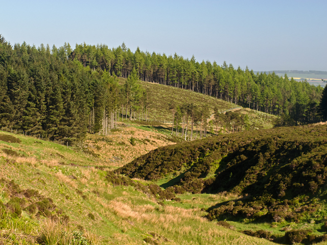
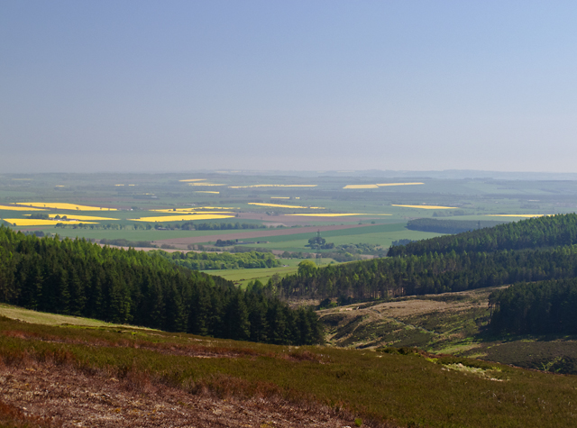
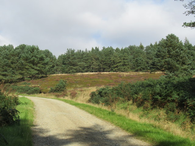
Crichieburn Wood is a picturesque woodland located in Kincardineshire, Scotland. Spread across an area of approximately 50 hectares, this enchanting forest is a haven for nature enthusiasts and outdoor lovers. It is situated near the village of Crichie, just a short distance from the bustling town of Inverurie.
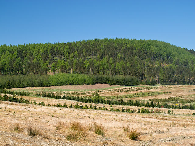
The wood is predominantly composed of native trees, including majestic oaks, birches, and Scots pines, which create a dense canopy, providing shade and shelter for a diverse range of flora and fauna. The forest floor is carpeted with a rich variety of wildflowers, ferns, and mosses, adding to the woodland's natural beauty.
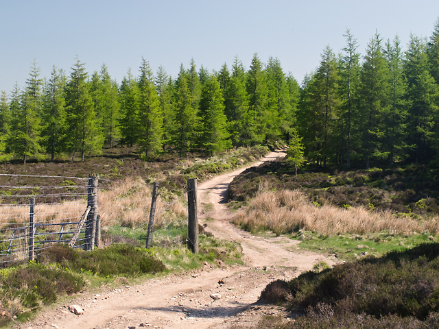
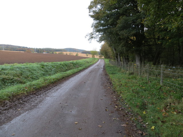
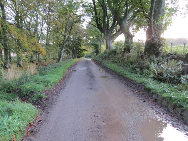
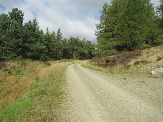
Crichieburn Wood offers a network of well-maintained pathways and trails, allowing visitors to explore the woodland at their own pace. The paths wind through the forest, leading to captivating viewpoints, babbling brooks, and tranquil ponds, which attract a variety of bird species and other wildlife.
The wood is also home to a number of historical features, including the ruins of Crichie Tower, a 16th-century tower house that once stood as a stronghold against enemy invasions. These remnants of the past provide a glimpse into the area's rich heritage and add a touch of intrigue to the woodland experience.
Crichieburn Wood is a popular destination for hikers, joggers, and families looking for a peaceful escape from the hustle and bustle of everyday life. With its abundance of natural beauty, diverse wildlife, and historical significance, Crichieburn Wood truly offers a magical experience for all who visit.
If you have any feedback on the listing, please let us know in the comments section below.
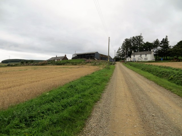
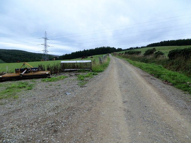
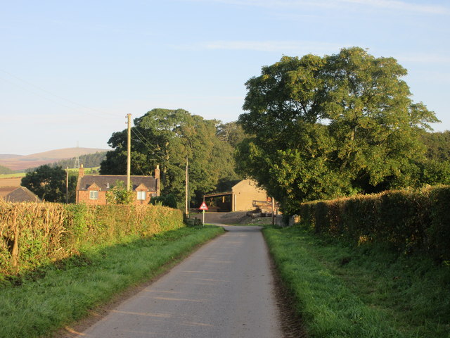
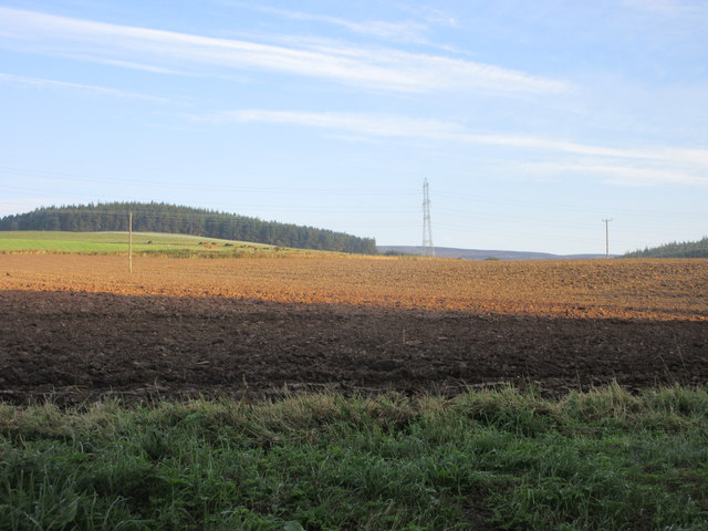
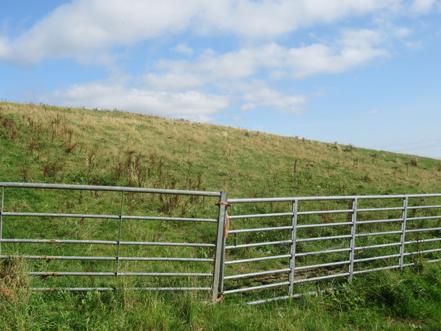
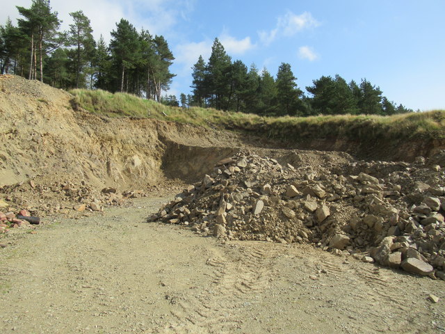
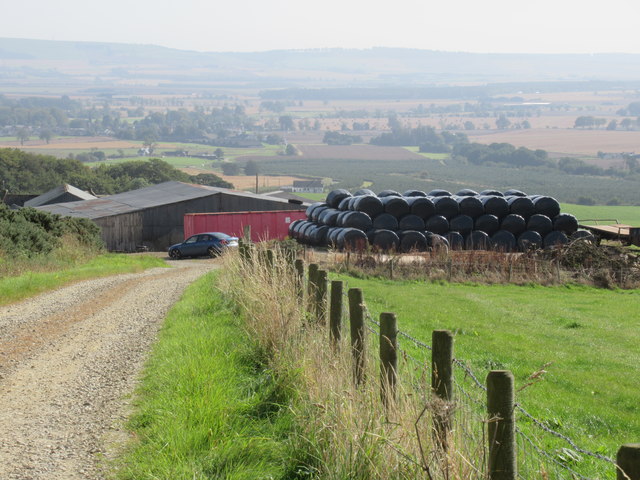
Crichieburn Wood Images
Images are sourced within 2km of 56.880695/-2.5954507 or Grid Reference NO6376. Thanks to Geograph Open Source API. All images are credited.
Crichieburn Wood is located at Grid Ref: NO6376 (Lat: 56.880695, Lng: -2.5954507)
Unitary Authority: Aberdeenshire
Police Authority: North East
What 3 Words
///fish.corporate.found. Near Laurencekirk, Aberdeenshire
Nearby Locations
Related Wikis

Fasque House
Fasque, also known as Fasque House or Fasque Castle, is a mansion in Aberdeenshire, Scotland, situated near the village of Fettercairn, in the former county...

Fettercairn distillery
Fettercairn distillery is a whisky distillery in Fettercairn. Situated under the Grampian foothills in the Howe of Mearns, Fettercairn town’s name is...

Fettercairn
Fettercairn (, Scottish Gaelic: Fothair Chàrdain) is a small village in Aberdeenshire, Scotland, northwest of Laurencekirk in Aberdeenshire on the B966...

Kincardine, Aberdeenshire
Kincardine was a burgh in Scotland, near the present-day village of Fettercairn. It served as the first county town of Kincardineshire. The settlement...

Cairn O' Mounth
Cairn O' Mounth/Cairn O' Mount (Scottish Gaelic: Càrn Mhon) is a high mountain pass in Aberdeenshire, Scotland. The place name is a survival of the ancient...

Thornton Castle, Marykirk
Thornton Castle, Marykirk, Aberdeenshire is a fortress or fortified residence in Marykirk, Aberdeenshire. Parts of the house date from 1531.It was the...

Drumtochty Castle
Drumtochty Castle is a neo-gothic style castellated mansion erected in 1812 approximately three kilometres north-west of Auchenblae, Kincardineshire, Scotland...

Kincardineshire
Kincardineshire, also known as the Mearns (from the Scottish Gaelic A' Mhaoirne meaning "the Stewartry"), is a historic county, registration county and...
Related Videos

Fettercairn Village Walk, Scottish Countryside 4K
Fettercairn Village Walk, Scottish Countryside 4K. Step into the serene beauty of rural Scotland with our 'Fettercairn Village Walk' ...

Ancient Burial Cairn Highlands of Scotland
Burial Cairn located at Cairn o' Mount high elevation/mountain pass in Aberdeenshire, Scotland, May 2022 vacation. (Old Military ...

Aberdeen-Cairn O' Mount
Deside Road Way.

FORD TRANSIT CONNECT MICRO CAMPER , Camp Fire Cooking #vanlife #scotland #camper
Van Camp With My Son Up Cairn O Mount On this van camp me and the wee fella decide to have a drive up north abit to Cairn o ...
Nearby Amenities
Located within 500m of 56.880695,-2.5954507Have you been to Crichieburn Wood?
Leave your review of Crichieburn Wood below (or comments, questions and feedback).