Thaneston Belt
Wood, Forest in Kincardineshire
Scotland
Thaneston Belt
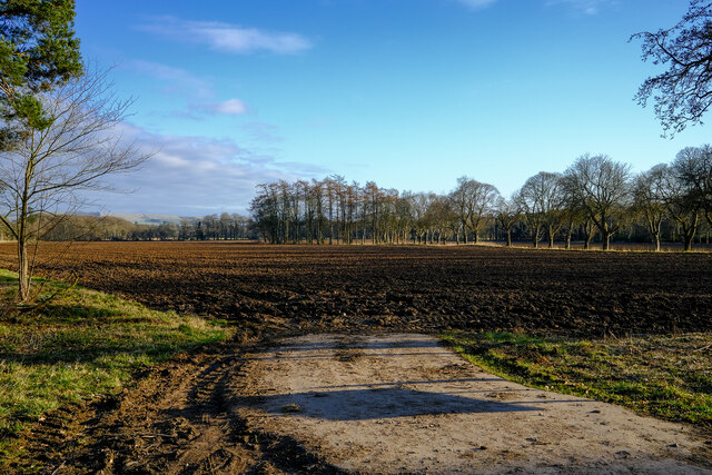
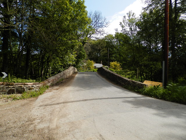
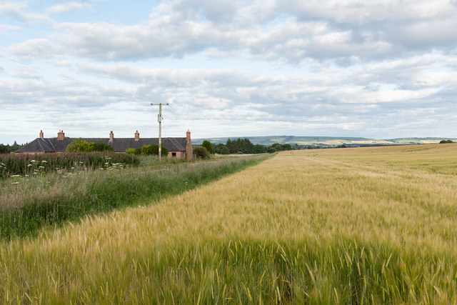
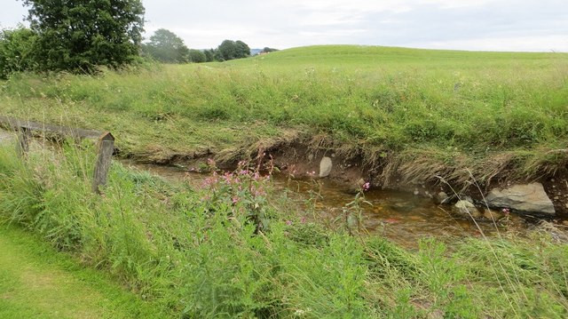
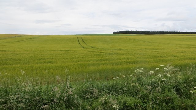
Thaneston Belt, located in Kincardineshire, Scotland, is a picturesque wood and forest area that boasts stunning natural beauty and a rich biodiversity. Covering approximately 200 acres of land, this enchanting woodland is a haven for nature enthusiasts and a popular destination for outdoor activities.
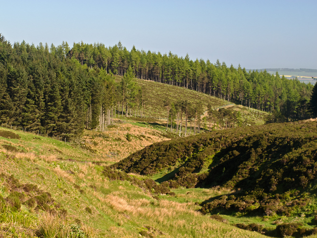
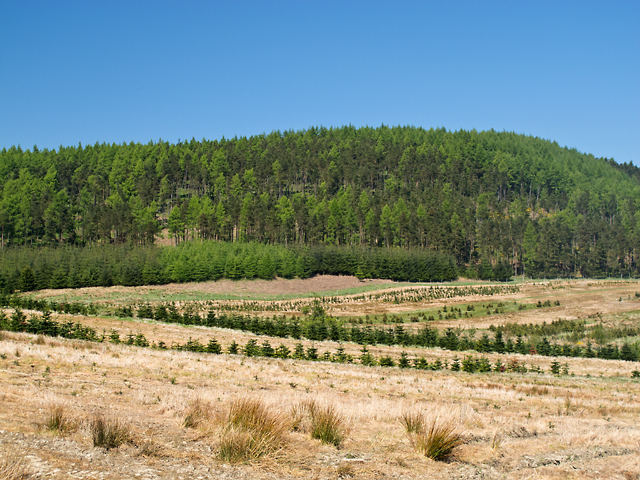
The diverse vegetation of Thaneston Belt includes a mix of deciduous and coniferous trees, such as oak, birch, pine, and spruce. This variety of tree species creates a vibrant and colorful landscape, especially during autumn when the leaves turn into a magnificent display of red, orange, and gold.
The forest is home to an array of wildlife, with many species finding refuge in this tranquil habitat. Visitors may encounter red squirrels, foxes, deer, and a wide variety of bird species, including woodpeckers and owls. The presence of such diverse wildlife makes Thaneston Belt an ideal spot for birdwatching and animal observation.
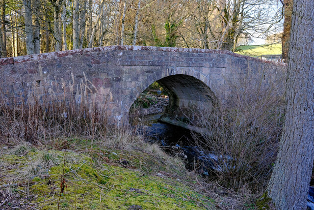
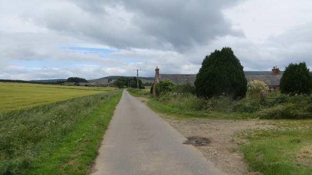
A network of well-maintained trails winds through the forest, offering visitors the opportunity to explore its beauty on foot or by bicycle. These trails cater to all levels of fitness and showcase the best of the woodland's flora and fauna. Along the way, visitors can enjoy the peaceful atmosphere, listen to the birdsong, and bask in the serenity of nature.
Thaneston Belt also features several picnic areas and viewpoints, allowing visitors to take in the breathtaking views of the surrounding countryside. Whether it's a leisurely stroll, a family picnic, or a wildlife adventure, this woodland gem offers something for everyone to enjoy.
If you have any feedback on the listing, please let us know in the comments section below.
Thaneston Belt Images
Images are sourced within 2km of 56.867825/-2.5966403 or Grid Reference NO6375. Thanks to Geograph Open Source API. All images are credited.

Thaneston Belt is located at Grid Ref: NO6375 (Lat: 56.867825, Lng: -2.5966403)
Unitary Authority: Aberdeenshire
Police Authority: North East
What 3 Words
///sample.regime.glows. Near Laurencekirk, Aberdeenshire
Nearby Locations
Related Wikis

Fasque House
Fasque, also known as Fasque House or Fasque Castle, is a mansion in Aberdeenshire, Scotland, situated near the village of Fettercairn, in the former county...

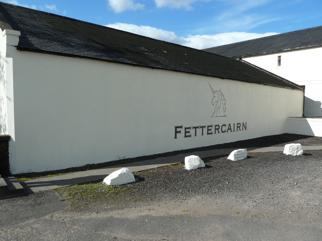
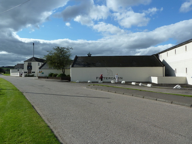
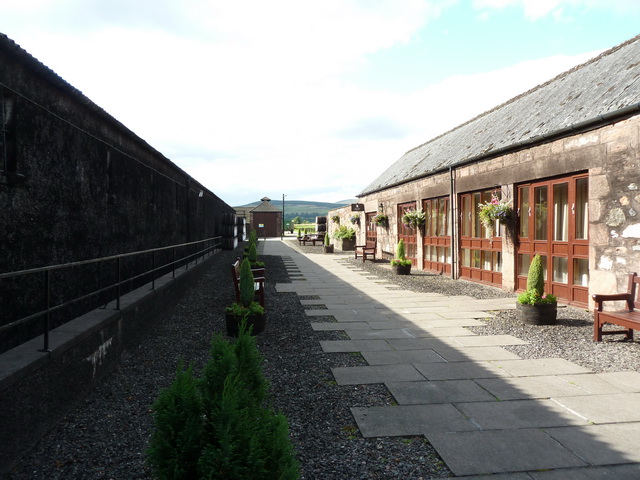
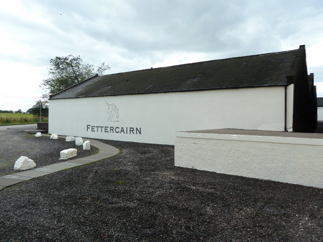
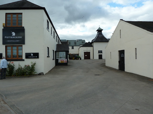
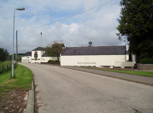
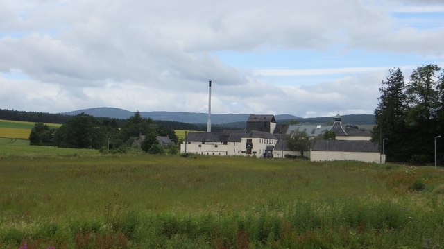
Fettercairn distillery
Fettercairn distillery is a whisky distillery in Fettercairn. Situated under the Grampian foothills in the Howe of Mearns, Fettercairn town’s name is...

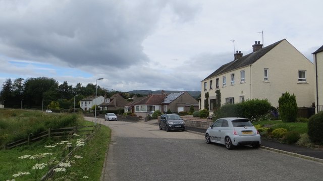
Fettercairn
Fettercairn (, Scottish Gaelic: Fothair Chàrdain) is a small village in Aberdeenshire, Scotland, northwest of Laurencekirk in Aberdeenshire on the B966...

Kincardine, Aberdeenshire
Kincardine was a burgh in Scotland, near the present-day village of Fettercairn. It served as the first county town of Kincardineshire. The settlement...

Cairn O' Mounth
Cairn O' Mounth/Cairn O' Mount (Scottish Gaelic: Càrn Mhon) is a high mountain pass in Aberdeenshire, Scotland. The place name is a survival of the ancient...
Edzell Woods
Edzell Woods is a village in the Kincardine and Mearns area of Aberdeenshire, Scotland. It is 4 miles (6.4 km) from Edzell by road, but only one mile...

Thornton Castle, Marykirk
Thornton Castle, Marykirk, Aberdeenshire is a fortress or fortified residence in Marykirk, Aberdeenshire. Parts of the house date from 1531.It was the...

RAF Edzell
Royal Air Force Edzell or more simply RAF Edzell is a former Royal Air Force satellite station located in Aberdeenshire, one mile east of Edzell in Angus...
Nearby Amenities
Located within 500m of 56.867825,-2.5966403Have you been to Thaneston Belt?
Leave your review of Thaneston Belt below (or comments, questions and feedback).