Peppers Covert

Wood, Forest in Angus

Scotland

Peppers Covert

Butterbur (Petasites hybridus) The male flower which is shown here is the more common and the flower heads can grow to a height of 40cm.  The plant grows in wet places and it is here growing beside the Pantaskel Burn.
Butterbur (Petasites hybridus) Credit: Maigheach-gheal

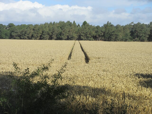
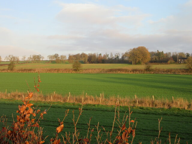
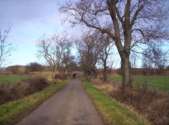
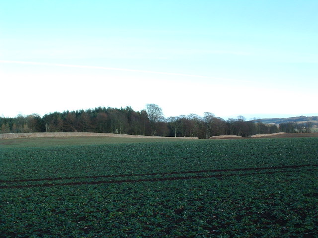
Peppers Covert, Angus (Wood, Forest) is a picturesque woodland area located in the county of Angus, Scotland. Covering an approximate area of several square miles, it is known for its lush greenery, diverse wildlife, and tranquil atmosphere.

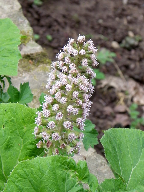
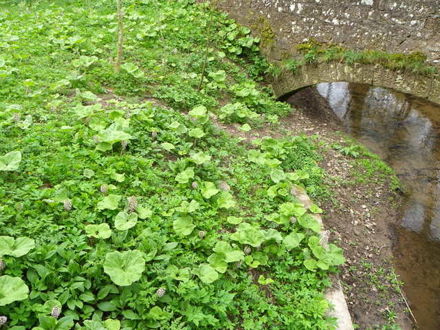
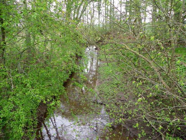
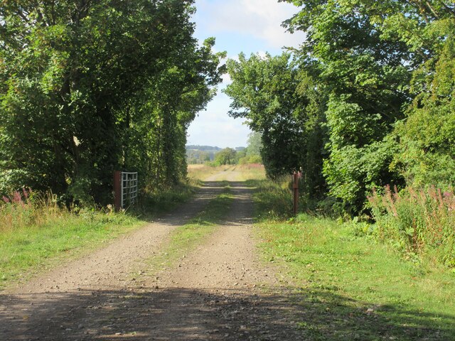
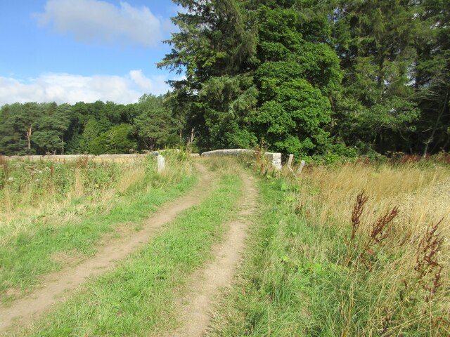
The woodland is primarily made up of native tree species such as oak, birch, and pine, creating a dense canopy that provides shelter and habitat for various animals. It offers a range of walking trails and pathways that wind through the forest, allowing visitors to explore its natural beauty at their own pace.

Peppers Covert is home to a rich variety of wildlife, including mammals like red squirrels, roe deer, and badgers. Bird enthusiasts will also find a haven here, as the woodland attracts a wide array of species, including woodpeckers, owls, and various songbirds.

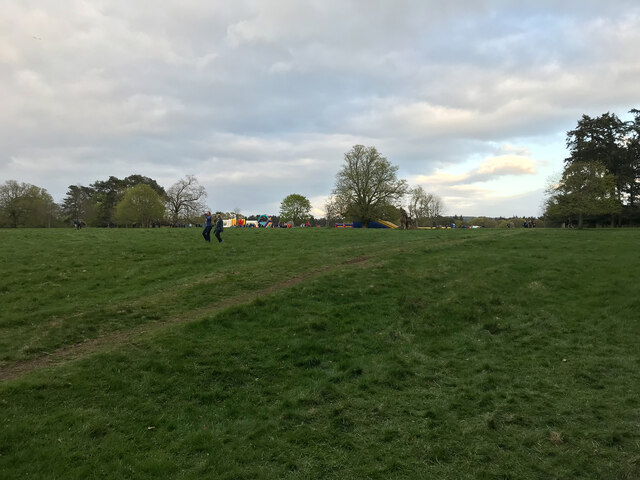
The area is well-maintained and offers amenities for visitors, such as picnic spots and benches, making it an ideal place for a family outing or a peaceful getaway. The tranquil environment, combined with the beautiful scenery, makes Peppers Covert a favorite spot among nature lovers and photographers.

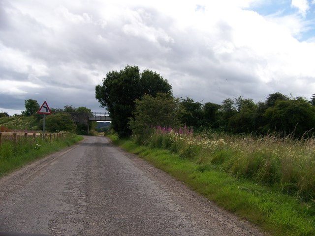
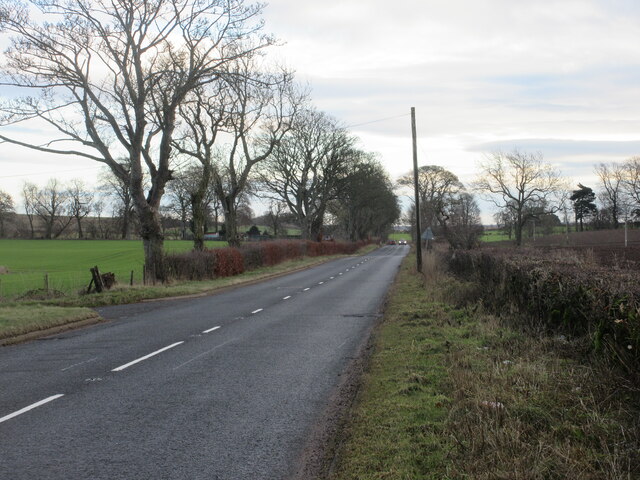
Peppers Covert is easily accessible, with a car park located nearby, and is open to the public throughout the year. Whether for a leisurely stroll, birdwatching, or simply enjoying the serenity of nature, this woodland provides a serene escape from the hustle and bustle of everyday life.

If you have any feedback on the listing, please let us know in the comments section below.

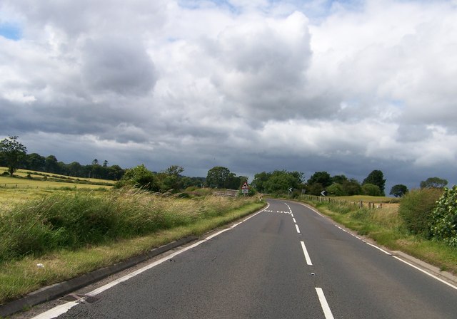
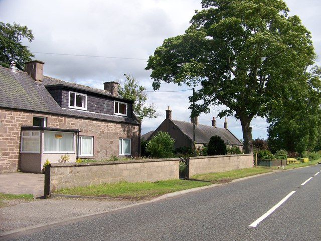
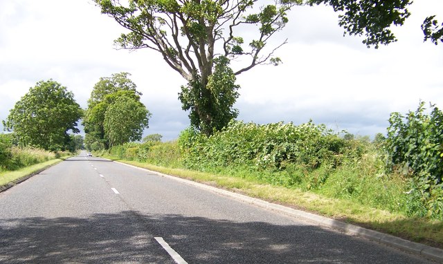
Peppers Covert Images

Images are sourced within 2km of 56.711618/-2.5941808 or Grid Reference NO6357. Thanks to Geograph Open Source API. All images are credited.

Butterbur (Petasites hybridus) The male flower which is shown here is the more common and the flower heads can grow to a height of 40cm.  The plant grows in wet places and it is here growing beside the Pantaskel Burn.
Butterbur (Petasites hybridus)
The male flower which is shown here is the more common and the flower heads can grow to a height of 40cm. The plant grows in wet places and it is here growing beside the Pantaskel Burn.
Butterbur beside the Pantaskel Burn The leaves of the butterbur follow the flowers and they can grow to a great size during the summer.  Tradition has it that the leaves were used for wrapping butter.
Butterbur beside the Pantaskel Burn
The leaves of the butterbur follow the flowers and they can grow to a great size during the summer. Tradition has it that the leaves were used for wrapping butter.
The Pantaskel Burn Looking downstream from Ash Bridge.
The Pantaskel Burn
Looking downstream from Ash Bridge.
Bridge on the Caledonian Railway
A935 to Brechin
A935 to Brechin
Cottages on the A935
A935 east of Brechin
Ordnance Survey Cut Mark This lichen covered mark can be found on the parapet wall of the road bridge crossing Pow Burn near to Powmouth.
The recorded details give a height of 8.2052 metres above sea level.
For more detail see : <span class="nowrap"><a title="https://www.bench-marks.org.uk/bm162974" rel="nofollow ugc noopener" href="https://www.bench-marks.org.uk/bm162974">Link</a><img style="margin-left:2px;" alt="External link" title="External link - shift click to open in new window" src="https://s1.geograph.org.uk/img/external.png" width="10" height="10"/></span>
Ordnance Survey Cut Mark
This lichen covered mark can be found on the parapet wall of the road bridge crossing Pow Burn near to Powmouth. The recorded details give a height of 8.2052 metres above sea level. For more detail see : LinkExternal link
Former line of railway Track marking the route of the former railway line between Friockheim and Hillside.
Former line of railway
Track marking the route of the former railway line between Friockheim and Hillside.
Track in the field Deep tracks in a field of wheat near the Haughs of Kinnaird.
Track in the field
Deep tracks in a field of wheat near the Haughs of Kinnaird.
Track heading over the Pow Burn Track heading northwards to a small bridge over the Pow Burn.
Track heading over the Pow Burn
Track heading northwards to a small bridge over the Pow Burn.
Carcary Lodge Looking along the road eastwards to Carcary Lodge.
Carcary Lodge
Looking along the road eastwards to Carcary Lodge.
Fields near Windyedge Looking northwards from the A935 to fields near Windyedge.
Fields near Windyedge
Looking northwards from the A935 to fields near Windyedge.
A935 eastbound The A935 heading to Montrose from Brechin.
A935 eastbound
The A935 heading to Montrose from Brechin.
Camping fun A view towards a camp site
Camping fun
A view towards a camp site
Caledonian Railway Between Brechin and Dun
Caledonian Railway Bridge
Kinnaird Part of the 15km (approx) wall that encloses Kinnaird Castle and park near Brechin, taken 1km north of Farnell.
Kinnaird
Part of the 15km (approx) wall that encloses Kinnaird Castle and park near Brechin, taken 1km north of Farnell.
Show me another place!

Peppers Covert is located at Grid Ref: NO6357 (Lat: 56.711618, Lng: -2.5941808)

Unitary Authority: Angus

Police Authority: Tayside

What 3 Words

///sprinkler.caller.crumples. Near Brechin, Angus

Related Wikis

Kinnaird Castle, Brechin

Kinnaird Castle is a 15th-century castle near Brechin in Angus, Scotland. The castle has been home to the Carnegie family, the Earls of Southesk, for more...

Farnell, Angus

Farnell is a village in Angus, Scotland. It lies 2 miles south of the River South Esk, between Brechin and Montrose, near Kinnaird Castle. == References ==

Bridge of Dun

Bridge of Dun is a village in Angus, Scotland, located north of the River South Esk and south of the A935 road from Brechin to Montrose. == History... ==

Farnell Road railway station

Farnell Road railway station served the village of Farnell, Angus, Scotland from 1848 to 1956 on the Aberdeen Railway. == History == The station opened...

Nearby Amenities

Located within 500m of 56.711618,-2.5941808
Scotston
Place: hamlet
Lat/Long: 56.7110051/-2.5985999
Fishers Cottage
Place: isolated_dwelling
Lat/Long: 56.7135395/-2.6002346
Power: pole
Lat/Long: 56.7157385/-2.5974029
Power: pole
Lat/Long: 56.7157105/-2.5957721
Power: pole
Lat/Long: 56.7156826/-2.5938141
Power: pole
Lat/Long: 56.7156487/-2.5918052
Power: pole
Lat/Long: 56.7135366/-2.6004123
Power: pole
Lat/Long: 56.7133253/-2.5997344
Power: pole
Lat/Long: 56.7129701/-2.5994486
Power: pole
Lat/Long: 56.7122674/-2.5988486
Power: pole
Lat/Long: 56.7115492/-2.5982841
Power: pole
Lat/Long: 56.7108608/-2.5976605
Power: pole
Lat/Long: 56.7109075/-2.5990825
Power: pole
Lat/Long: 56.7108958/-2.5985203
Power: pole
Lat/Long: 56.7108064/-2.5962174
Power: pole
Lat/Long: 56.7105277/-2.5955465
Power: pole
Lat/Long: 56.710334/-2.5949714
Power: pole
Lat/Long: 56.7103319/-2.594075
Power: pole
Lat/Long: 56.7103539/-2.5930334
Power: pole
Lat/Long: 56.7103604/-2.5921736
Power: pole
Lat/Long: 56.7103786/-2.5906619
Power: pole
Lat/Long: 56.71028/-2.5900927
Power: pole
Lat/Long: 56.7101543/-2.589377
Power: pole
Lat/Long: 56.7093959/-2.589025
Power: pole
Lat/Long: 56.7087385/-2.5887274
Power: pole
Lat/Long: 56.7076158/-2.5927003
Power: pole
Lat/Long: 56.7075885/-2.5917673
Power: pole
Lat/Long: 56.7075665/-2.5908603
The data included in this document is from www.openstreetmap.org. The data is made available under ODbL.

Have you been to Peppers Covert?

Leave your review of Peppers Covert below (or comments, questions and feedback).