The Roundell

Wood, Forest in Berwickshire

Scotland

The Roundell

Fawside Road to a hilltop farm.
Fawside Credit: Richard Webb

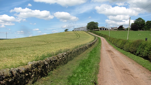
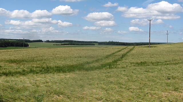
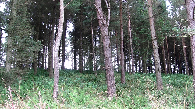
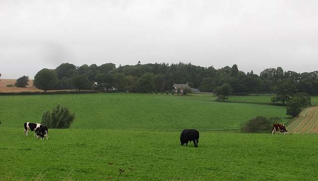
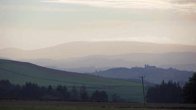
The Roundell, located in Berwickshire, is a picturesque wood and forest area renowned for its natural beauty and diverse range of flora and fauna. It is situated amidst the rolling hills and lush landscapes of the Scottish Borders region.

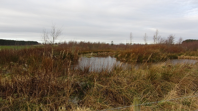
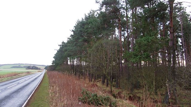
Covering an extensive area of approximately 200 acres, The Roundell is a haven for nature enthusiasts, hikers, and wildlife photographers. The woodlands are predominantly composed of native tree species such as oak, ash, birch, and beech, creating a rich and varied ecosystem. The forest floor is adorned with vibrant carpets of bluebells during the spring, while ferns and mosses thrive in the damp and shaded areas.

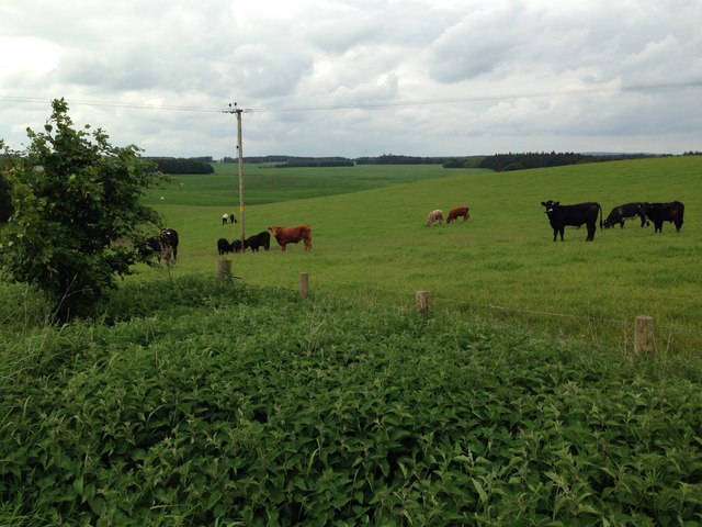
The Roundell is home to an array of wildlife, including red squirrels, roe deer, and a variety of bird species. Visitors may catch a glimpse of the elusive tawny owl or hear the melodic songs of woodland warblers. The woodlands are also inhabited by various small mammals, such as badgers and foxes, which contribute to the area's overall biodiversity.

A network of well-maintained trails and paths meander through The Roundell, providing visitors with the opportunity to explore the woodlands at their own pace. These paths lead to scenic viewpoints, tranquil ponds, and secluded picnic spots, offering visitors a chance to immerse themselves in the natural surroundings.

The Roundell is not only a place of natural beauty but also a vital habitat for numerous species. Its stunning landscapes, diverse flora, and abundant wildlife make it a must-visit destination for nature lovers and those seeking a peaceful retreat in the heart of Berwickshire.

If you have any feedback on the listing, please let us know in the comments section below.

The Roundell Images

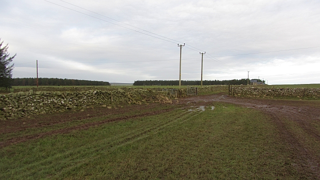
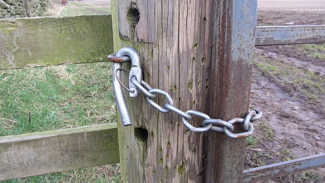
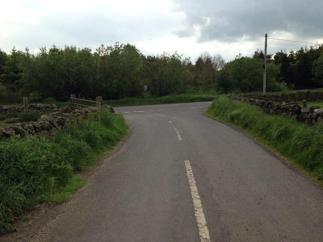
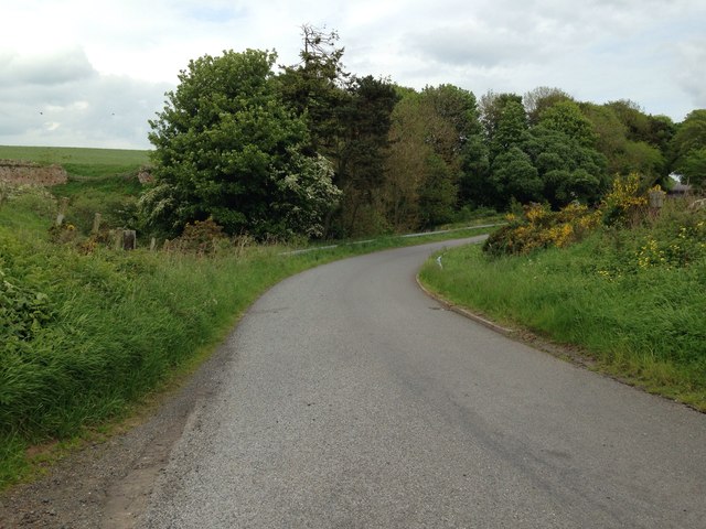
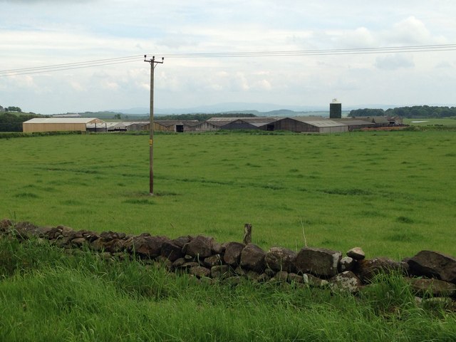
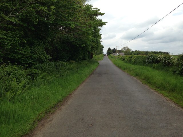
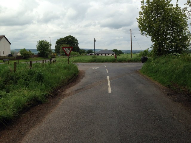
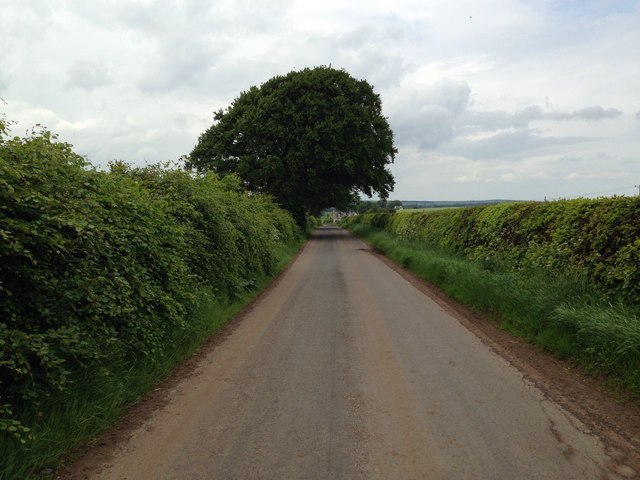
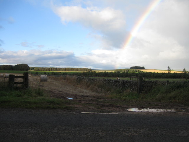
Images are sourced within 2km of 55.710002/-2.5829406 or Grid Reference NT6346. Thanks to Geograph Open Source API. All images are credited.

Fawside Road to a hilltop farm.
Fawside
Road to a hilltop farm.
Barley, Fawside
Barley, Fawside
Small pine wood A short steep slope is used to grow trees.
Small pine wood
A short steep slope is used to grow trees.
Cattle, Bassendean
Cattle, Bassendean
Flight pool One of a pair recently dug to attract ducks. They were populated with mallard and teal on this occasion. The former conifer wood on the site was felled and replanted.
Flight pool
One of a pair recently dug to attract ducks. They were populated with mallard and teal on this occasion. The former conifer wood on the site was felled and replanted.
Approaching warm front Heralding the next lot of rain and probably unpleasantly mild weather, The Cheviot <a href="https://www.geograph.org.uk/photo/279853">NT9020 : The Cheviot trig point</a> is streaming cloud.  An hour early the sky was almost cloudless and the earth frostbound. Now temperatures are rising, the sky going from milky to cloudy and cloud is condensing where air is forced to rise by the 800m high hill.
Hume Castle <a href="https://www.geograph.org.uk/photo/1467885">NT7041 : Hume Castle</a> is silhouetted against one of the distant hills.
Approaching warm front
Heralding the next lot of rain and probably unpleasantly mild weather, The Cheviot NT9020 : The Cheviot trig point is streaming cloud. An hour early the sky was almost cloudless and the earth frostbound. Now temperatures are rising, the sky going from milky to cloudy and cloud is condensing where air is forced to rise by the 800m high hill. Hume Castle NT7041 : Hume Castle is silhouetted against one of the distant hills.
Houndslow Strip A big strip wood in a landscape of strip woods. It runs beside the A697.
Houndslow Strip
A big strip wood in a landscape of strip woods. It runs beside the A697.
Stubble Arable land south of the Lammermuir Hills.
Stubble
Arable land south of the Lammermuir Hills.
Gates, Hyndberry Gates and a track over Hare Law south of Westruther. It is signposted as a path from the A697 and is part of a route from Gordon to Westruther.
Gates, Hyndberry
Gates and a track over Hare Law south of Westruther. It is signposted as a path from the A697 and is part of a route from Gordon to Westruther.
Gate latch This kind of latch has a cunningly curved hook which makes fastening the gate very easy. A clip prevents accidental opening.
Gate latch
This kind of latch has a cunningly curved hook which makes fastening the gate very easy. A clip prevents accidental opening.
Farmland at Fawside
Farmland at Fawside
Road junction near Gordon
Road to Bassendean
Road to Bassendean
Farmland at Bassendean
Minor road near Houndslow
Road junction at Houndslow
Minor road near Broomiebank
Rainbow over farmland
Show me another place!

The Roundell is located at Grid Ref: NT6346 (Lat: 55.710002, Lng: -2.5829406)

Unitary Authority: The Scottish Borders

Police Authority: The Lothians and Scottish Borders

What 3 Words

///pounding.performed.breathing. Near Earlston, Scottish Borders

Nearby Locations

The Roundell Struther Wood

Related Wikis

Bassendean, Scottish Borders

Bassendean is a village in the Scottish Borders area of Scotland, 4 kilometres (2.5 mi) south of Westruther and 3 kilometres (1.9 mi) north-west of Gordon...

Houndslow

Houndslow is a hamlet in the Scottish Borders area of Scotland. It is situated on the A697, about 5 miles (8.0 km) west of Greenlaw, and 3 miles (4.8 km...

Gordon (NBR) railway station

Gordon railway station served the village of Gordon, Scottish Borders, Scotland from 1863 to 1948 on the Berwickshire Railway. == History == The station...

Gordon, Scottish Borders

Gordon is a village in the Scottish Borders area of Scotland, within the historic county of Berwickshire. The village sits on the crossroads of the A6105...

Nearby Amenities

Located within 500m of 55.710002,-2.5829406
Power: pole
Lat/Long: 55.710763/-2.589463
Power: pole
Lat/Long: 55.7107092/-2.5904533
Power: pole
Lat/Long: 55.7133396/-2.5875011
Power: pole
Lat/Long: 55.7125424/-2.5874782
Power: pole
Lat/Long: 55.711784/-2.5874553
Power: pole
Lat/Long: 55.7109753/-2.5874299
Power: pole
Lat/Long: 55.7104577/-2.5869997
Power: pole
Lat/Long: 55.7099558/-2.5866205
Power: pole
Lat/Long: 55.7092504/-2.5860657
Power: pole
Lat/Long: 55.708575/-2.5855007
Power: pole
Lat/Long: 55.707871/-2.584956
Power: pole
Lat/Long: 55.7071941/-2.5844063
Power: pole
Lat/Long: 55.7065101/-2.5838515
Power: pole
Lat/Long: 55.7058319/-2.5833068
Power: pole
Lat/Long: 55.7109423/-2.5875749
Power: pole
Lat/Long: 55.7107903/-2.5885115
The data included in this document is from www.openstreetmap.org. The data is made available under ODbL.

Have you been to The Roundell?

Leave your review of The Roundell below (or comments, questions and feedback).