Belling Covert

Wood, Forest in Roxburghshire

Scotland

Belling Covert

Valley fog at Falside An image captured on a fine November morning near Chesters.
Valley fog at Falside Credit: James T M Towill

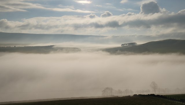
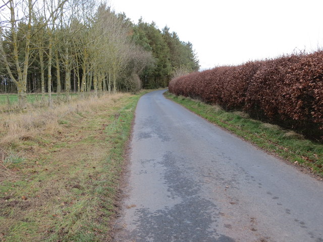
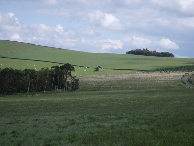
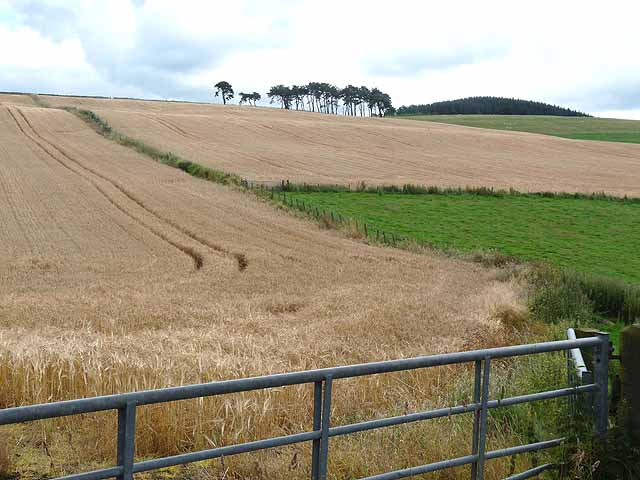
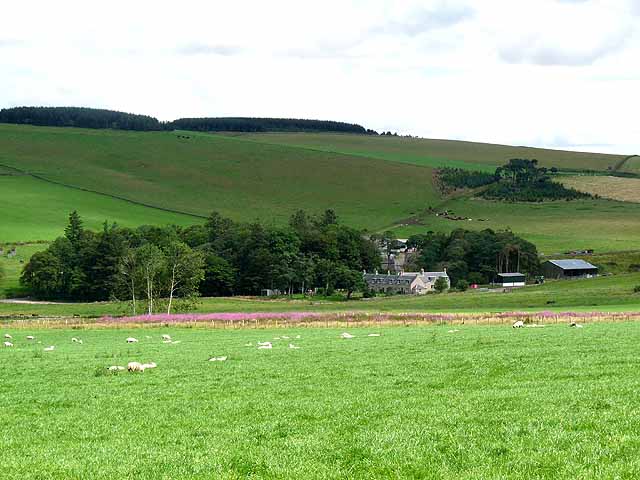
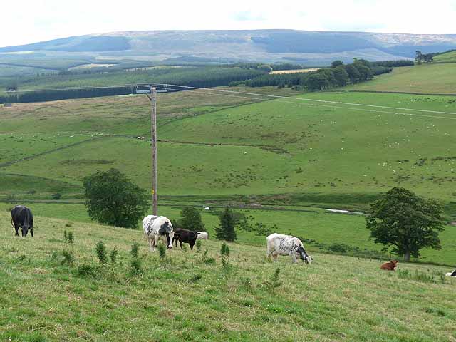
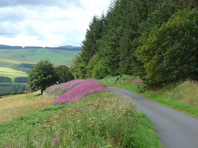
Belling Covert is a picturesque woodland area located in the county of Roxburghshire, Scotland. Situated in the heart of the Scottish Borders, this forest is well-known for its abundant natural beauty and diverse range of flora and fauna.

Covering an area of approximately 200 acres, Belling Covert is primarily composed of deciduous trees, including oak, beech, and birch. These trees create a vibrant and colorful canopy during the autumn months, attracting visitors from far and wide to witness the breathtaking display of foliage. The forest floor is adorned with a carpet of wildflowers, such as bluebells and primroses, further enhancing its charm.

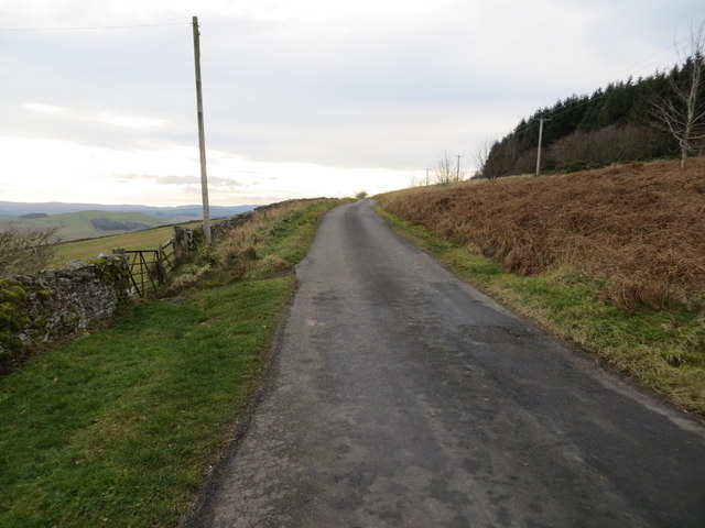
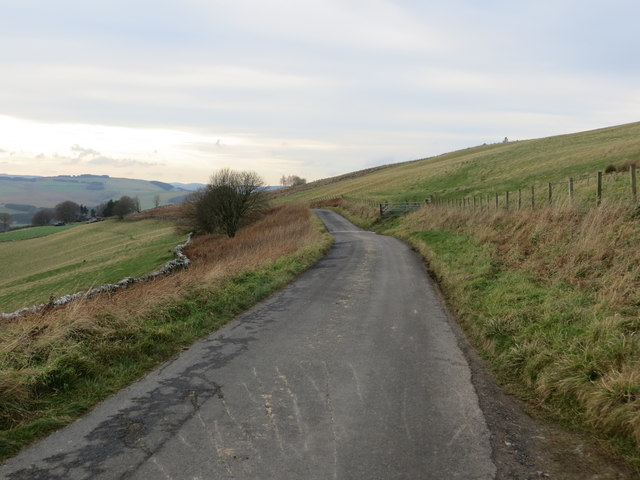
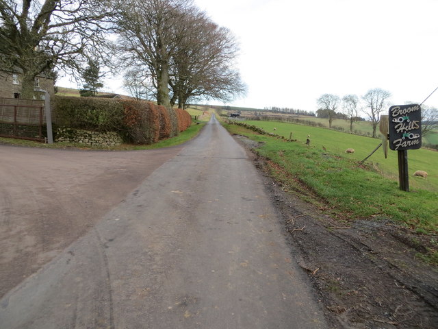
The woodland is crisscrossed with a network of well-maintained walking trails, allowing visitors to explore this enchanting forest at their own pace. The paths wind through the trees, offering glimpses of small streams and ponds, adding to the tranquil atmosphere of the area. Along the trails, nature enthusiasts may have the opportunity to spot a variety of wildlife, including deer, squirrels, and a wide array of bird species.

Belling Covert also plays a crucial role in the conservation of local biodiversity. The forest provides a habitat for numerous species, some of which are rare or endangered. The management of the woodland focuses on preserving and enhancing its ecological value, ensuring a sustainable environment for future generations to enjoy.

Overall, Belling Covert in Roxburghshire is a captivating woodland retreat, offering visitors a chance to immerse themselves in the beauty of nature. Whether it be a leisurely stroll, birdwatching, or simply seeking solace in a peaceful environment, this forest is a haven for all who appreciate the wonders of the natural world.

If you have any feedback on the listing, please let us know in the comments section below.

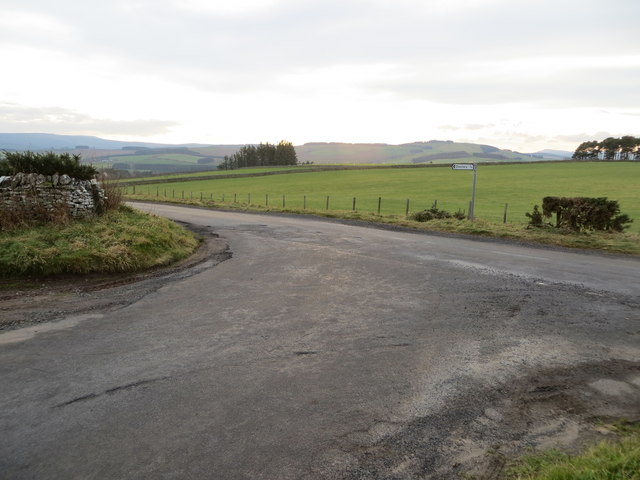
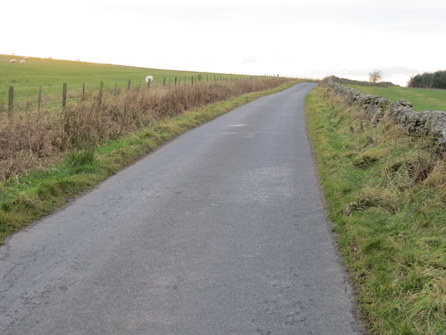
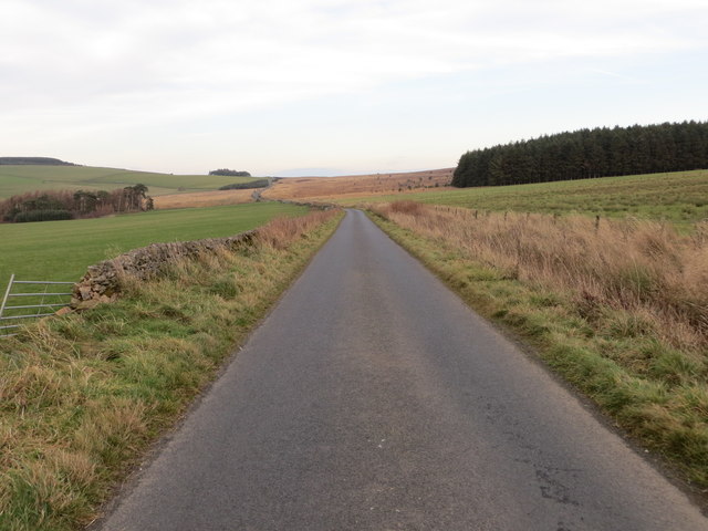
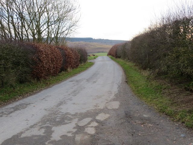
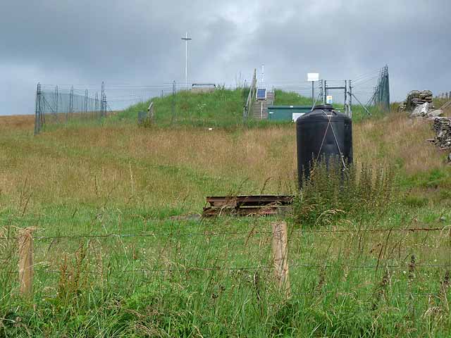
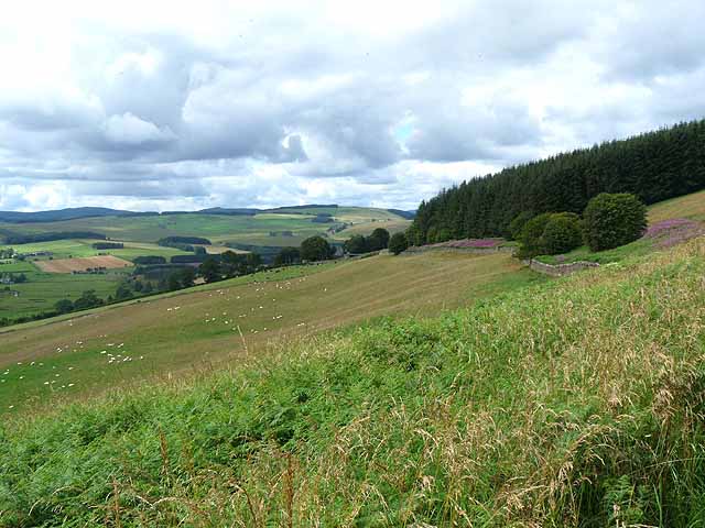
Belling Covert Images

Images are sourced within 2km of 55.403627/-2.5786259 or Grid Reference NT6312. Thanks to Geograph Open Source API. All images are credited.

Valley fog at Falside An image captured on a fine November morning near Chesters.
Valley fog at Falside
An image captured on a fine November morning near Chesters.
Minor road at Pinkiesburn Cottage Looking south-westward.
Minor road at Pinkiesburn Cottage
Looking south-westward.
Minor road at the western end of Mervinslaw and Falside Forest Looking westward.
Minor road at the western end of Mervinslaw and Falside Forest
Looking westward.
Minor road at Broomhills Farm Looking north-eastward.
Minor road at Broomhills Farm
Looking north-eastward.
Junction of roads at Coatlaw Plantation Looking south-westward.
Junction of roads at Coatlaw Plantation
Looking south-westward.
Minor road heading towards Coatlaw Plantation Looking south-westward.
Minor road heading towards Coatlaw Plantation
Looking south-westward.
Minor road near Belling Covert Looking north-eastward.
Minor road near Belling Covert
Looking north-eastward.
Minor road near to Ashtrees Looking southward.
Minor road near to Ashtrees
Looking southward.
Minor road near to Ashtrees Looking north-eastward.
Minor road near to Ashtrees
Looking north-eastward.
Southdean Church - the interior Southdean Kirk, opened in 1876, is the latest in a line of churches which could back as far as the 8th. - 9th. century. An old story from Southdean Parish was of the Borders Reivers having a son baptised in a font which could immerse the whole body of the baby. The reiver would always request of the vicar not to baptise the boy's right arm - that would be carrying out 'some develish deeds in the future'. The reivers, when not fighting the English, fought amongst themselves. Southdean Church only opens for up to six services a year.
Southdean Church - the interior
Southdean Kirk, opened in 1876, is the latest in a line of churches which could back as far as the 8th. - 9th. century. An old story from Southdean Parish was of the Borders Reivers having a son baptised in a font which could immerse the whole body of the baby. The reiver would always request of the vicar not to baptise the boy's right arm - that would be carrying out 'some develish deeds in the future'. The reivers, when not fighting the English, fought amongst themselves. Southdean Church only opens for up to six services a year.
Kilnsike Tower ruin
Kilnsike Tower ruin
Barns at Ruletownhead Farm
Fields of barley, near Chesters A small copse of Scots pines crowns the spur. Beyond, to the right, is the western edge of Mervinslaw and Falside Forest.
Fields of barley, near Chesters
A small copse of Scots pines crowns the spur. Beyond, to the right, is the western edge of Mervinslaw and Falside Forest.
Westerhouses Farm In a valley at the head of the Rule Water.
Westerhouses Farm
In a valley at the head of the Rule Water.
Valley of the Black Burn The main headwater of the Jed Water. In the middle distance can be seen part of Wauchope Forest. Carter Fell <a href="https://www.geograph.org.uk/gridref/NT6805">NT6805</a> on the Border occupies the skyline.
Valley of the Black Burn
The main headwater of the Jed Water. In the middle distance can be seen part of Wauchope Forest. Carter Fell NT6805 on the Border occupies the skyline.
Minor road above Chesters Leading steeply down into the valley of the Black Burn. The wood is part of Mervinslaw and Falside Forest. A bank of rosebay willow herb flanks the road.
Minor road above Chesters
Leading steeply down into the valley of the Black Burn. The wood is part of Mervinslaw and Falside Forest. A bank of rosebay willow herb flanks the road.
Small covered reservoir With associated telemetry equipment. High on the hillside above Chesters.
Small covered reservoir
With associated telemetry equipment. High on the hillside above Chesters.
Hillside above Chesters Dropping down into the valley of the Black Burn. A corner of Mervinslaw and Falside Forest can be seen on the right. Plenty of sheep in the field.
Hillside above Chesters
Dropping down into the valley of the Black Burn. A corner of Mervinslaw and Falside Forest can be seen on the right. Plenty of sheep in the field.
Show me another place!

Belling Covert is located at Grid Ref: NT6312 (Lat: 55.403627, Lng: -2.5786259)

Unitary Authority: The Scottish Borders

Police Authority: The Lothians and Scottish Borders

What 3 Words

///nibbled.dripping.clapper. Near Jedburgh, Scottish Borders

Nearby Locations

Crow Wood Belling Covert

Related Wikis

Abbotrule

Abbotrule is a hamlet south of the B6357 road, in the Scottish Borders area of Scotland, on Rule Burn, east of the Rule Water. Places nearby include Bedrule...

Southdean

Southdean is a hamlet in the Scottish Borders area of Scotland, on the A6088, by the Jed Water and in the Wauchope Forest area. Other settlements nearby...

Bairnkine

Bairnkine is a hamlet on the Jed Water in the Scottish Borders area of Scotland, on the A68, south of Jedburgh. Other places nearby include Abbotrule,...

Hallrule

Hallrule is a hamlet on the B6357 road, in the Scottish Borders area of Scotland, on the Rule Water, near Abbotrule, Bedrule Bonchester Bridge, Denholm...

Fulton Tower

Fulton Tower is a ruined 16th century tower house, about 4.5 miles (7.2 km) south west of Jedburgh, Scottish Borders, Scotland, and about 2 miles (3.2...

Camptown, Scottish Borders

Camptown is a small settlement on the A68, in the Scottish Borders area of Scotland, 5m (8 km) south of Jedburgh, and the same distance south to Carter...

Bonchester Bridge

Bonchester Bridge (Scots Binster Brig) is a village in Roxburghshire, within the Scottish Borders area of Scotland, lying on the Rule Water, six miles...

Hobkirk

Hobkirk (Scottish Gaelic: Eaglais Ruail) is a village and civil parish in the Scottish Borders area of Scotland, by the Rule Water, south-west of Jedburgh...

Have you been to Belling Covert?

Leave your review of Belling Covert below (or comments, questions and feedback).