Minciemoss Plantation
Wood, Forest in Berwickshire
Scotland
Minciemoss Plantation
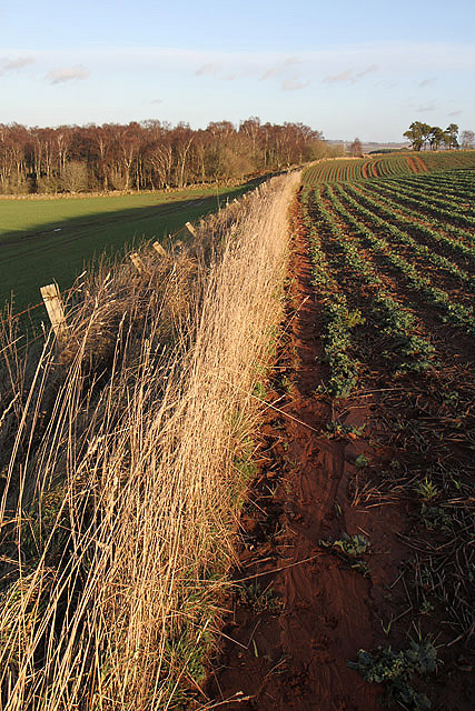
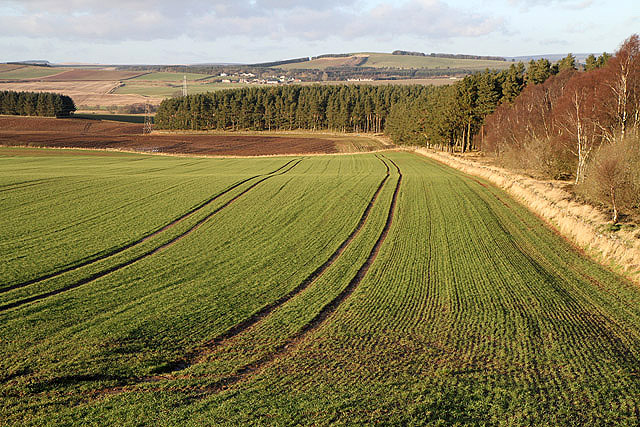
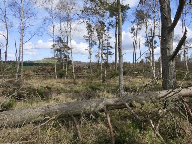
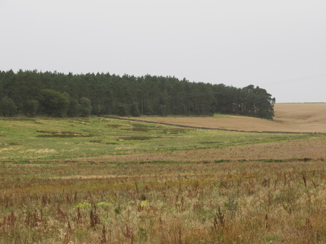
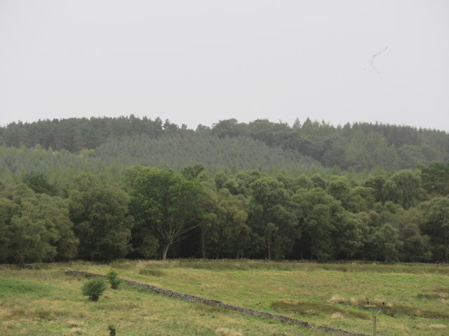
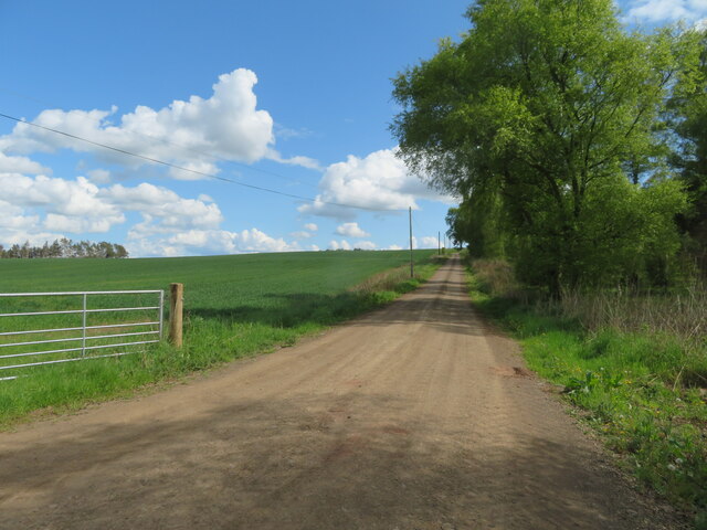
Minciemoss Plantation is a sprawling woodland area located in Berwickshire, Scotland. Covering a vast expanse of approximately 200 acres, the plantation is nestled amidst the picturesque countryside, offering a serene and enchanting escape from the hustle and bustle of urban life.
The plantation is predominantly composed of mature native trees, including oak, beech, and birch, which create a dense and diverse forest canopy. These trees provide a haven for numerous species of flora and fauna, making Minciemoss Plantation a significant ecological habitat. The forest floor is adorned with a vibrant carpet of mosses, ferns, and wildflowers, further enhancing its natural beauty.
Traversing through the plantation, visitors can explore a network of well-maintained trails that meander amidst the towering trees. These paths offer a variety of walking and hiking opportunities, catering to both casual strollers and avid outdoor enthusiasts. The tranquil atmosphere and stunning vistas make it an ideal location for nature lovers, photographers, and those seeking a peaceful retreat.
Minciemoss Plantation also serves as a popular recreational spot for various activities. The expansive woodland area provides ample space for picnics, camping, and birdwatching. The plantation is home to a rich assortment of bird species, including woodpeckers, owls, and thrushes, making it a paradise for bird enthusiasts.
Managed by the local forestry commission, Minciemoss Plantation ensures the preservation and sustainable management of this natural gem. The commission actively engages in conservation efforts and woodland restoration projects, ensuring the long-term survival and health of the plantation.
In conclusion, Minciemoss Plantation in Berwickshire is a captivating woodland retreat that offers a unique blend of natural beauty, recreational opportunities, and ecological importance. Its lush forests, diverse flora and fauna, and peaceful ambiance make it a cherished destination for both locals and visitors alike.
If you have any feedback on the listing, please let us know in the comments section below.
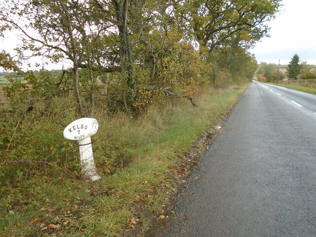
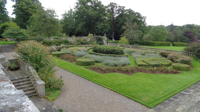
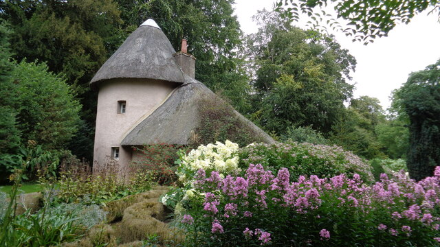
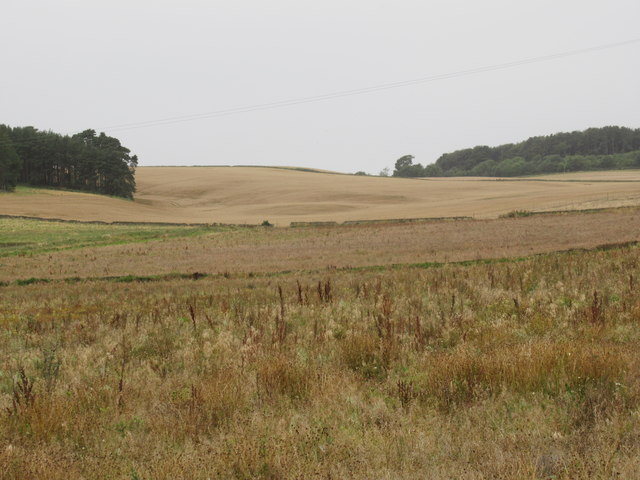
Minciemoss Plantation Images
Images are sourced within 2km of 55.64091/-2.5858218 or Grid Reference NT6338. Thanks to Geograph Open Source API. All images are credited.

Minciemoss Plantation is located at Grid Ref: NT6338 (Lat: 55.64091, Lng: -2.5858218)
Unitary Authority: The Scottish Borders
Police Authority: The Lothians and Scottish Borders
What 3 Words
///contained.user.outsiders. Near Earlston, Scottish Borders
Nearby Locations
Related Wikis

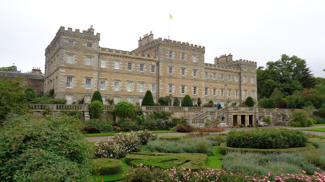
Mellerstain House
Mellerstain House is a stately home around 8 miles (13 kilometres) north of Kelso in the Borders, Scotland. It is currently the home of George Baillie...

Smailholm
Smailholm (Scots: Smailhowm) is a small village in the historic county of Roxburghshire in south-east Scotland. It is at grid reference NT648364 and straddles...
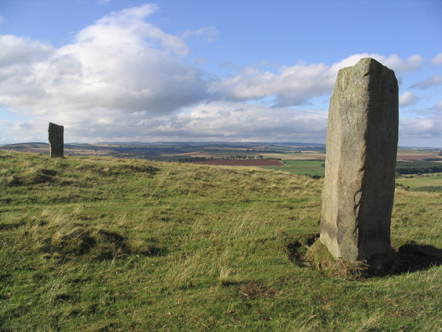
Brotherstone Hill
Brotherstone Hill is a hill near St. Boswells and the Eildon Hills in the Scottish Borders area of Scotland, with two standing stones from the megalithic...

Gordon Moss
Gordon Moss is a nature reserve near Gordon, in the Scottish Borders area of Scotland, in the former Berwickshire. The moss is situated one mile west of...

Greenknowe Tower
Greenknowe Tower is a 16th-century tower house, located just west of the village of Gordon, in the Scottish Borders. Although a roofless ruin, the stonework...

Smailholm Tower
Smailholm Tower is a peel tower at Smailholm, around five miles (8 km) west of Kelso in the Scottish Borders. Its dramatic situation, atop a crag of Lady...

Gordon, Scottish Borders
Gordon is a village in the Scottish Borders area of Scotland, within the historic county of Berwickshire. The village sits on the crossroads of the A6105...
Earlston High School
Earlston High School is a secondary school in Earlston, Scottish Borders. It serves Earlston, as well as the surrounding area. Since 2009, the school has...
Nearby Amenities
Located within 500m of 55.64091,-2.5858218Have you been to Minciemoss Plantation?
Leave your review of Minciemoss Plantation below (or comments, questions and feedback).