Mincie Moss
Wood, Forest in Berwickshire
Scotland
Mincie Moss
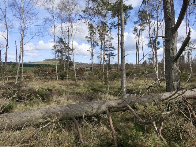
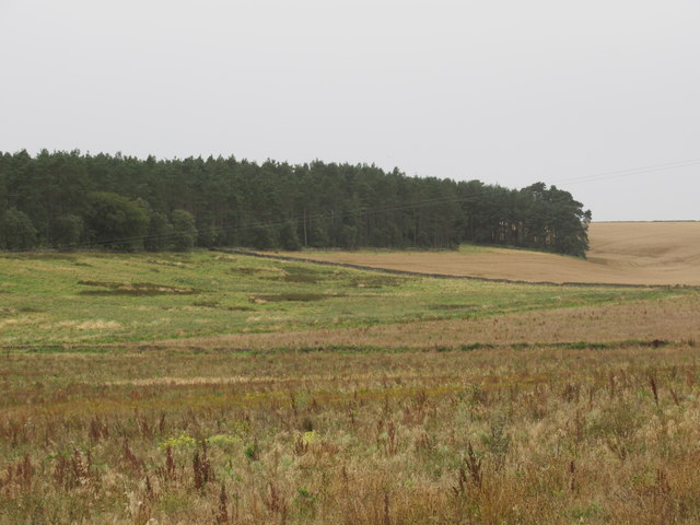
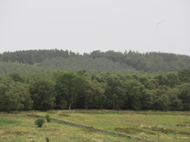
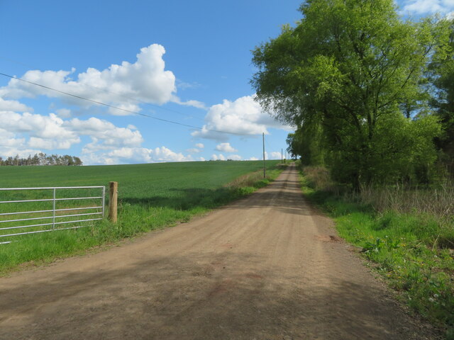
Mincie Moss is a picturesque woodland located in the rural area of Berwickshire, Scotland. Spanning over a vast area, it is known for its lush greenery and enchanting atmosphere, making it a popular destination for nature enthusiasts and hikers.
The woodland boasts a diverse range of tree species, including oak, birch, and pine, which form a dense canopy overhead. The forest floor is covered in a thick carpet of mosses, ferns, and wildflowers, adding to the area's natural beauty. Mincie Moss is also home to various species of wildlife, such as red squirrels, deer, and a myriad of bird species, making it a haven for wildlife enthusiasts and birdwatchers.
The woodland is crisscrossed by well-maintained trails, providing visitors with the opportunity to explore its magnificent scenery. These trails cater to all levels of fitness and offer breathtaking views of the surrounding countryside. Additionally, there are designated picnic areas and benches scattered throughout the woodland, allowing visitors to relax and immerse themselves in the tranquility of nature.
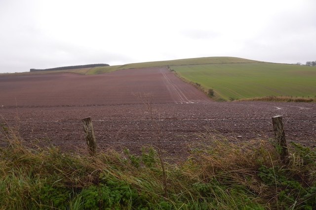
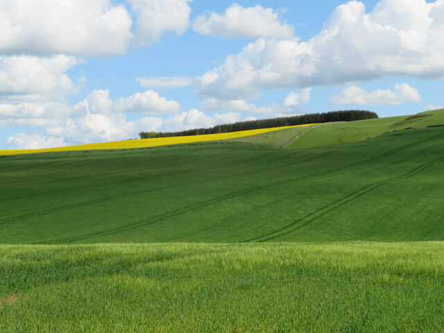
Mincie Moss is easily accessible, with a car park located nearby for visitors' convenience. The woodland is open year-round, and each season brings its own unique charm. In spring, the forest comes alive with colorful wildflowers, while autumn paints the trees in vibrant hues of red, orange, and gold.
Whether one seeks a peaceful retreat or an adventurous exploration, Mincie Moss in Berwickshire offers a captivating experience for all nature enthusiasts, providing a sanctuary to escape the bustling city life and immerse oneself in the serenity of the Scottish countryside.
If you have any feedback on the listing, please let us know in the comments section below.
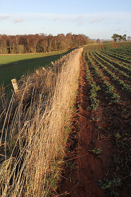
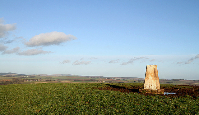
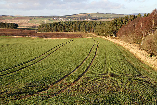
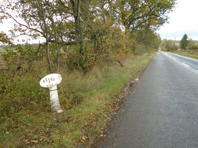
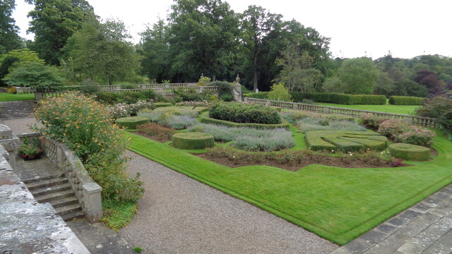
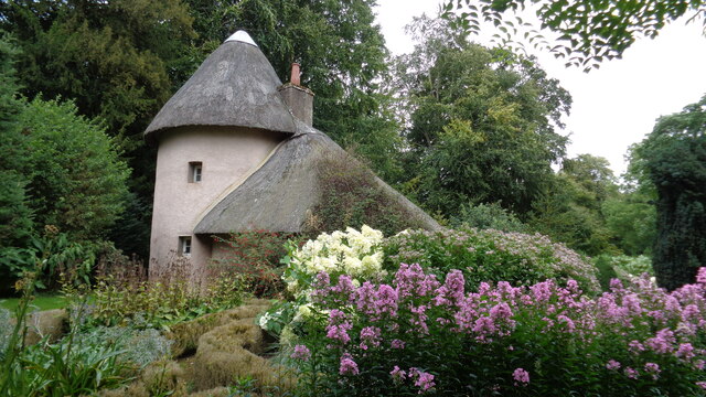
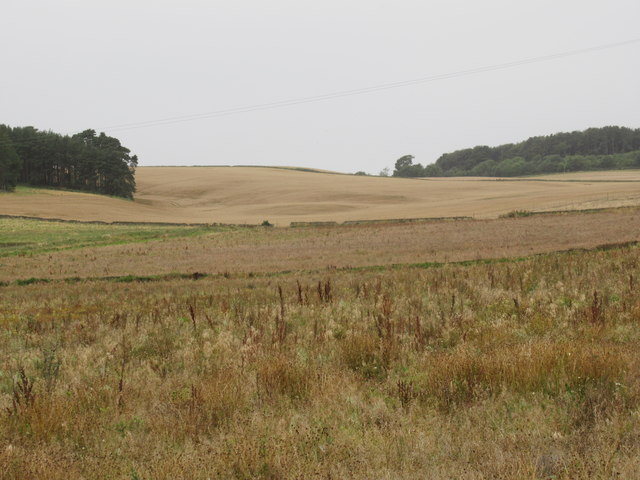
Mincie Moss Images
Images are sourced within 2km of 55.640901/-2.5858216 or Grid Reference NT6338. Thanks to Geograph Open Source API. All images are credited.

Mincie Moss is located at Grid Ref: NT6338 (Lat: 55.640901, Lng: -2.5858216)
Unitary Authority: The Scottish Borders
Police Authority: The Lothians and Scottish Borders
What 3 Words
///volume.veto.heartened. Near Earlston, Scottish Borders
Nearby Locations
Related Wikis

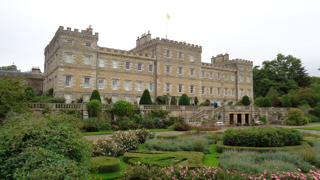
Mellerstain House
Mellerstain House is a stately home around 8 miles (13 kilometres) north of Kelso in the Borders, Scotland. It is currently the home of George Baillie...

Smailholm
Smailholm (Scots: Smailhowm) is a small village in the historic county of Roxburghshire in south-east Scotland. It is at grid reference NT648364 and straddles...
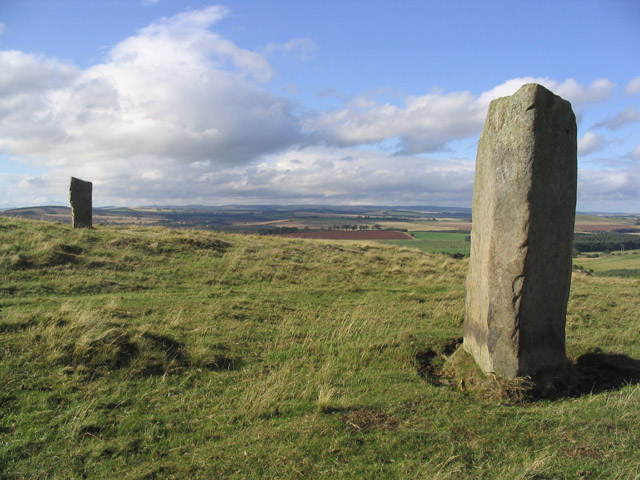
Brotherstone Hill
Brotherstone Hill is a hill near St. Boswells and the Eildon Hills in the Scottish Borders area of Scotland, with two standing stones from the megalithic...

Gordon Moss
Gordon Moss is a nature reserve near Gordon, in the Scottish Borders area of Scotland, in the former Berwickshire. The moss is situated one mile west of...

Greenknowe Tower
Greenknowe Tower is a 16th-century tower house, located just west of the village of Gordon, in the Scottish Borders. Although a roofless ruin, the stonework...

Smailholm Tower
Smailholm Tower is a peel tower at Smailholm, around five miles (8 km) west of Kelso in the Scottish Borders. Its dramatic situation, atop a crag of Lady...

Gordon, Scottish Borders
Gordon is a village in the Scottish Borders area of Scotland, within the historic county of Berwickshire. The village sits on the crossroads of the A6105...
Earlston High School
Earlston High School is a secondary school in Earlston, Scottish Borders. It serves Earlston, as well as the surrounding area. Since 2009, the school has...
Nearby Amenities
Located within 500m of 55.640901,-2.5858216Have you been to Mincie Moss?
Leave your review of Mincie Moss below (or comments, questions and feedback).