Cleary Wood
Wood, Forest in Kincardineshire
Scotland
Cleary Wood
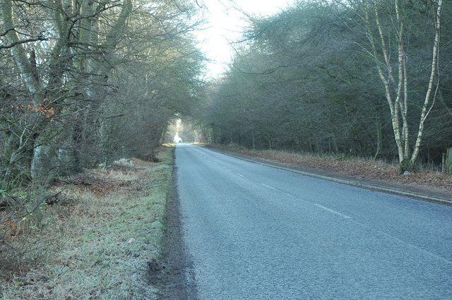
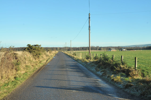
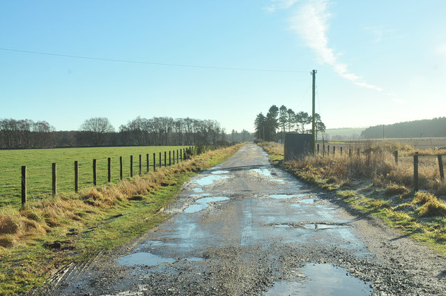
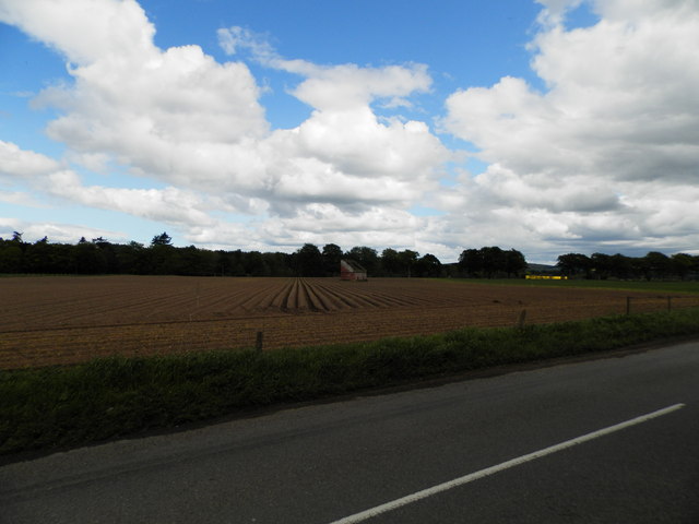
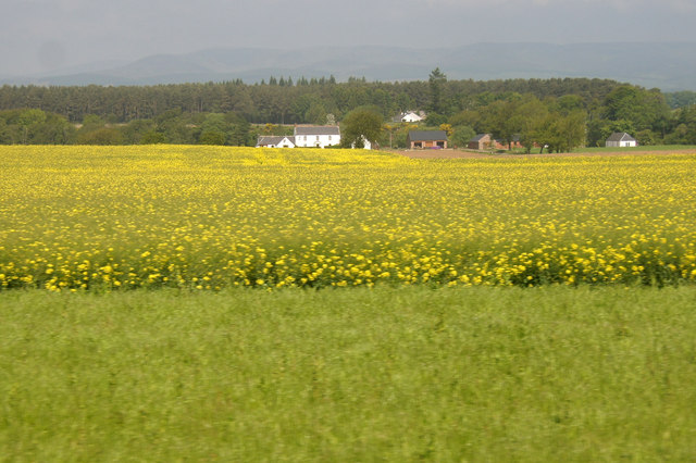
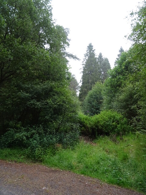
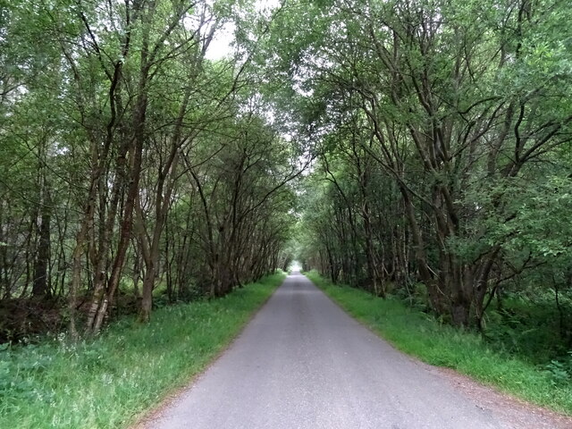
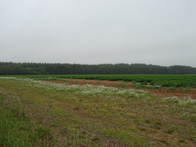
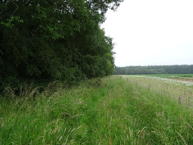
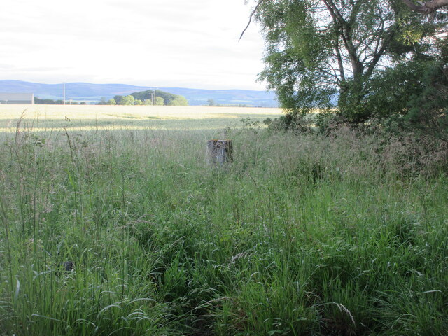
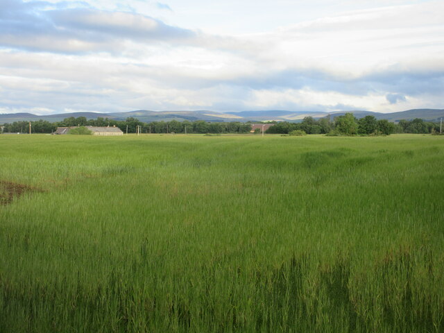
Cleary Wood is a picturesque woodland located in Kincardineshire, Scotland. Covering an area of approximately 100 acres, it is a popular destination for nature lovers and outdoor enthusiasts. The wood is situated in a tranquil setting, surrounded by rolling hills and stunning landscapes.
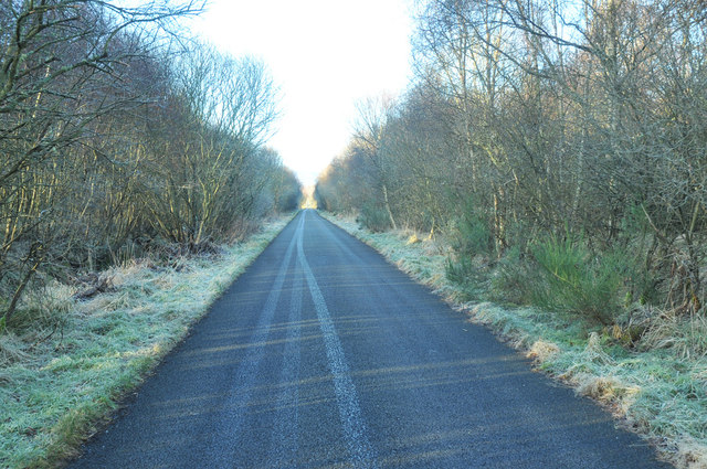
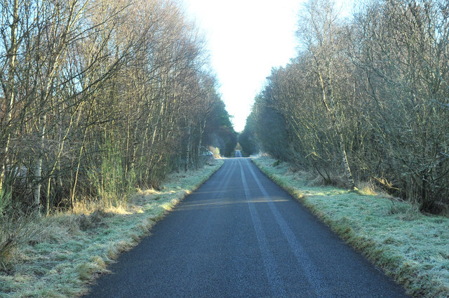
The woodland is primarily composed of native tree species, including oak, birch, and pine, which provide a diverse habitat for various wildlife. Visitors to Cleary Wood can expect to encounter a wide range of flora and fauna, such as bluebells, wild garlic, and an array of bird species.
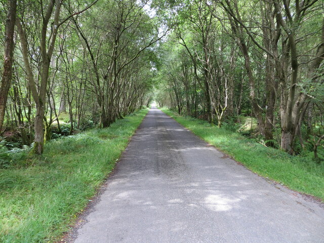
There are several walking trails that wind their way through the wood, offering visitors the opportunity to explore and appreciate its natural beauty. These trails are well-maintained and suitable for all ages and fitness levels. Along the way, there are informative signposts providing interesting facts about the woodland's history and ecology.
Cleary Wood is also home to a small stream that meanders through the forest, adding to its charm and creating a soothing atmosphere. This stream provides a habitat for various aquatic creatures, including frogs and small fish.
The wood is open to the public throughout the year, allowing visitors to enjoy the changing seasons and witness the vibrant colors of autumn or the blossoming of spring. It is a peaceful retreat where individuals can escape the hustle and bustle of daily life, immersing themselves in the tranquility of nature.
If you have any feedback on the listing, please let us know in the comments section below.
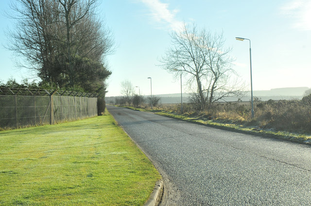
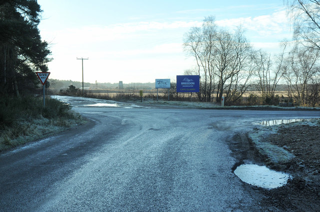
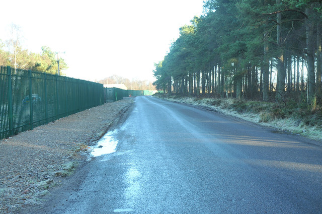
Cleary Wood Images
Images are sourced within 2km of 56.802357/-2.6049168 or Grid Reference NO6368. Thanks to Geograph Open Source API. All images are credited.

Cleary Wood is located at Grid Ref: NO6368 (Lat: 56.802357, Lng: -2.6049168)
Unitary Authority: Aberdeenshire
Police Authority: North East
What 3 Words
///rant.living.steers. Near Brechin, Angus
Nearby Locations
Related Wikis

RAF Edzell
Royal Air Force Edzell or more simply RAF Edzell is a former Royal Air Force satellite station located in Aberdeenshire, one mile east of Edzell in Angus...
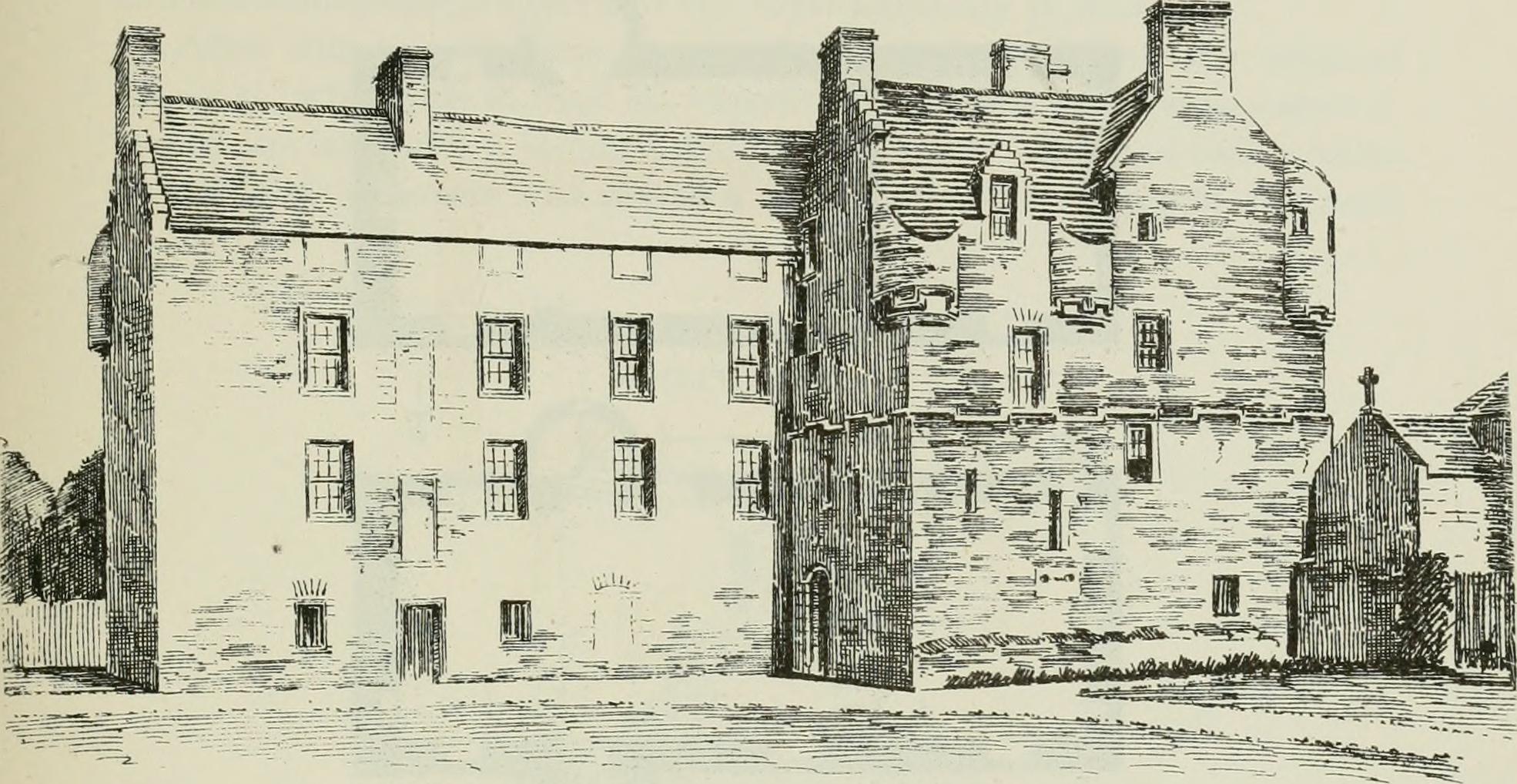
Inglismaldie Castle
Inglismaldie Castle is a castle in the parish of Marykirk and the county of Kincardineshire, Scotland. == History == The Tower House was built in 1636...

Edzell Woods
Edzell Woods is a village in the Kincardine and Mearns area of Aberdeenshire, Scotland. It is 4 miles (6.4 km) from Edzell by road, but only one mile...

Luthermuir
Luthermuir is a village in Aberdeenshire, Scotland, UK. Historically the village was home to weavers and labourers. == Facilities == Luthermuir is home...

Stracathro
Stracathro (Scottish Gaelic: Srath Catharach) is a small place in Angus, Scotland. It was the site of a Roman marching camp as their forces invaded to...

Stracathro Hospital
Stracathro Hospital is a community hospital in Angus, Scotland. Established as a wartime Emergency Hospital Service facility during the Second World War...

Inglis Memorial Hall
The Inglis Memorial Hall is a municipal structure in the High Street in Edzell, Angus, Scotland, which for much of the 20th century served as Edzell Parish...

Edzell
Edzell (; Scots: Aigle; Scottish Gaelic: Eigill) is a village in Angus, Scotland. It is 5 miles (8 km) north of Brechin, by the River North Esk. Edzell...
Nearby Amenities
Located within 500m of 56.802357,-2.6049168Have you been to Cleary Wood?
Leave your review of Cleary Wood below (or comments, questions and feedback).