Kinning Brae

Wood, Forest in Roxburghshire

Scotland

Kinning Brae

Stubble field and bales, Teviotdale Off the B6400.
Stubble field and bales, Teviotdale Credit: JThomas

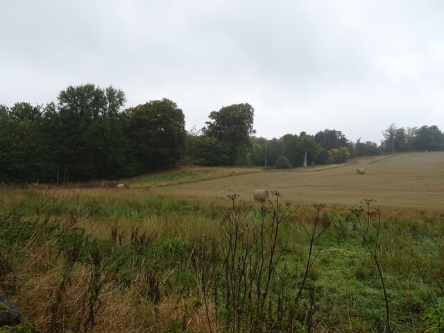
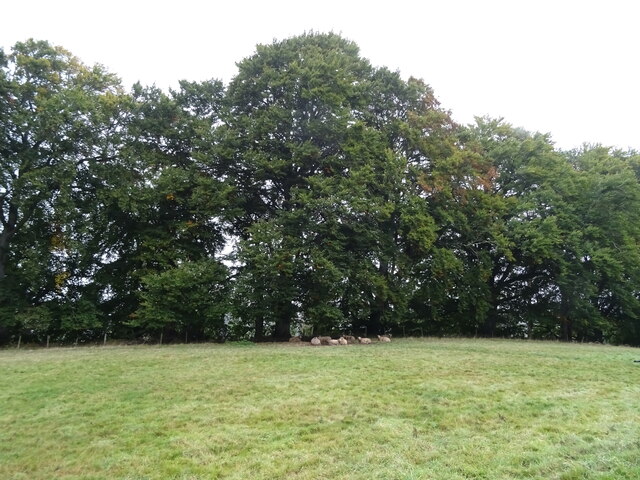
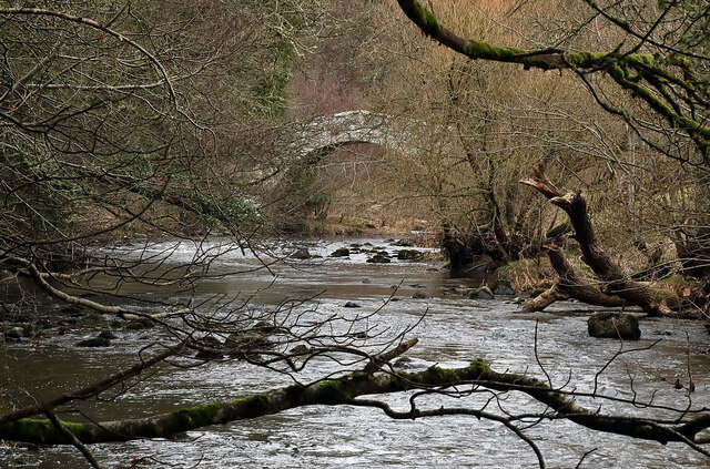
Kinning Brae is a picturesque wood located in Roxburghshire, a historic county in the Scottish Borders region of Scotland. This serene forest is nestled amidst the rolling hills and stunning landscapes, offering visitors a tranquil retreat away from the hustle and bustle of urban life.

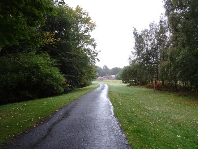
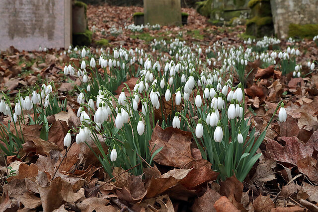
Covering an expansive area, Kinning Brae is known for its dense woodland, characterized by a variety of native tree species such as oak, beech, and birch. The forest floor is adorned with an array of vibrant wildflowers, creating a colorful carpet during the spring and summer months. The diverse flora and fauna found within the wood make it a haven for nature enthusiasts and wildlife lovers.

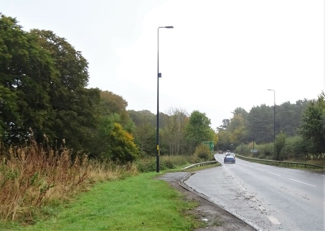
Visitors to Kinning Brae can explore its well-maintained walking trails, allowing for pleasant strolls through the woods. These paths wind their way through the forest, offering breathtaking views of the surrounding countryside. The tranquility of the wood makes it a perfect location for birdwatching, with a wide range of species calling the area home.

Kinning Brae offers a peaceful retreat for those seeking solitude and a connection with nature. The forest's peaceful ambiance and stunning beauty make it an ideal spot for picnics or simply unwinding amidst the serene surroundings. With its vast expanse of woodland and abundant wildlife, Kinning Brae is truly a hidden gem in Roxburghshire, beckoning visitors to explore its natural wonders.

If you have any feedback on the listing, please let us know in the comments section below.
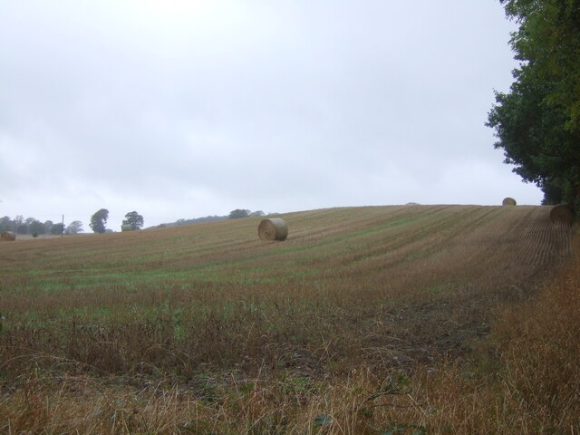
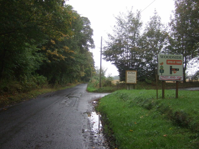
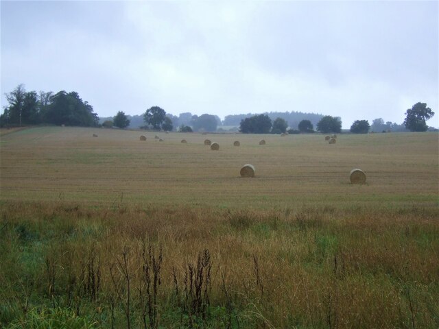
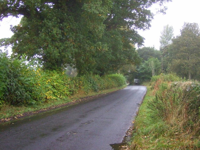
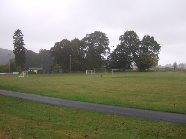
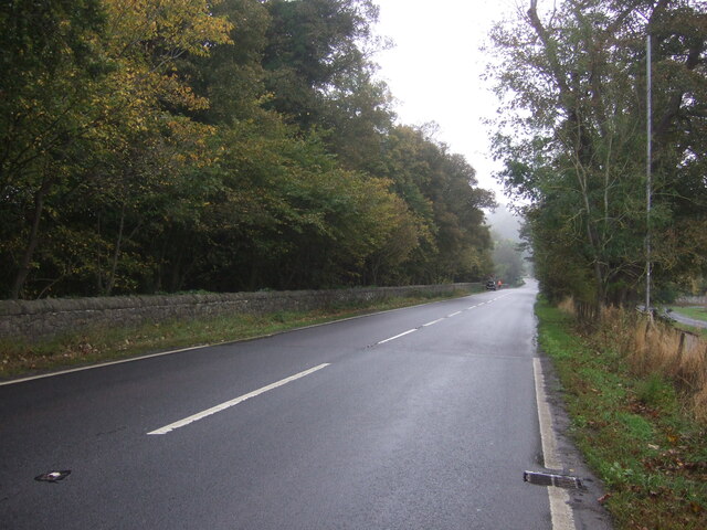
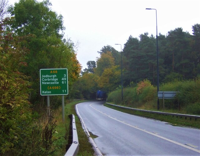
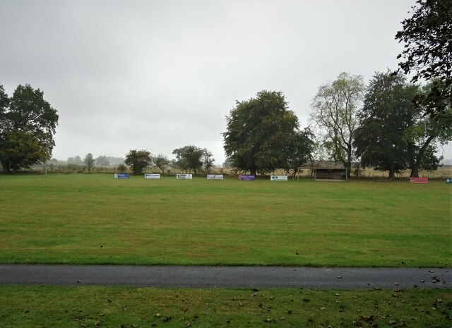
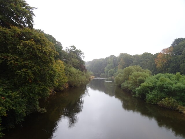
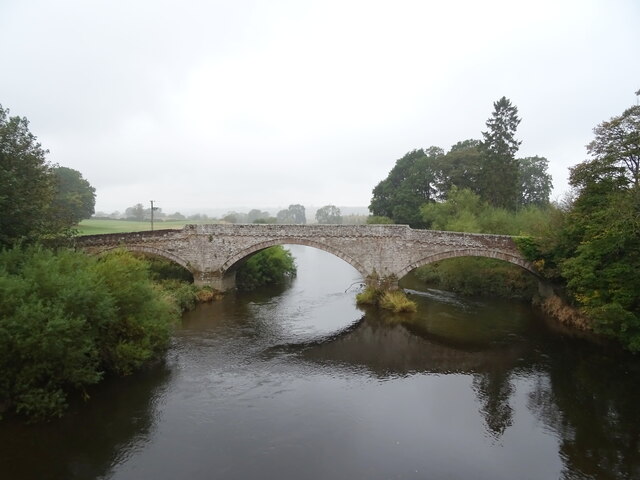
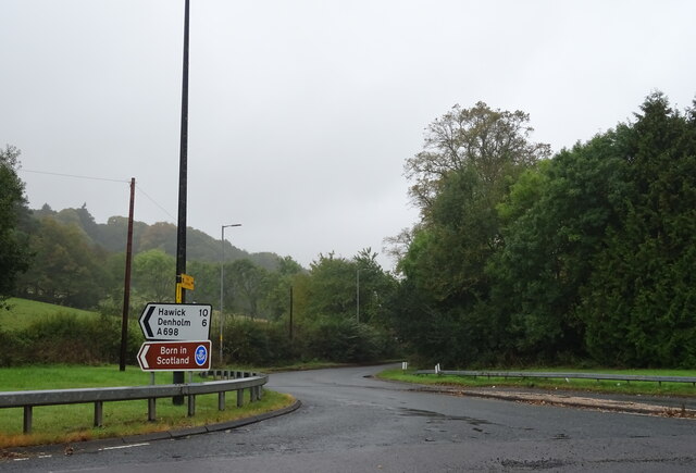
Kinning Brae Images

Images are sourced within 2km of 55.516018/-2.5918668 or Grid Reference NT6224. Thanks to Geograph Open Source API. All images are credited.

Stubble field and bales, Teviotdale Off the B6400.
Stubble field and bales, Teviotdale
Off the B6400.
B6400, Woodside Towards the A68.
B6400, Woodside
Towards the A68.
Stubble field and bales off the B6400
B6400 towards Monteviot Toll and the A68
Sports fields, Ancrum
A68, Ancrum Towards Ancrum Bridge.
A68, Ancrum
Towards Ancrum Bridge.
Jedburgh 3 Miles On the A68.
Jedburgh 3 Miles
On the A68.
Road to Monteviot House
Stubble field and woodland, Monteviot
Sports field, Ancrum
The River Teviot, Ancrum From the bridge on the A68.
The River Teviot, Ancrum
From the bridge on the A68.
Ancrum Bridge The old bridge from the newer one on the A68.
Ancrum Bridge
The old bridge from the newer one on the A68.
A698 towards Hawick Junction with the A68.
A698 towards Hawick
Junction with the A68.
Grazing and woodland near the River Teviot Sheep sheltering from the dismal weather.
Grazing and woodland near the River Teviot
Sheep sheltering from the dismal weather.
Lay-by on the A68 Towards Jedburgh.
Lay-by on the A68
Towards Jedburgh.
Snowdrops at Ancrum Old Parish Churchyard
The Ale Water at Ancrum This is an upstream view towards the old packhorse bridge.
The Ale Water at Ancrum
This is an upstream view towards the old packhorse bridge.
The grave of Walter Bertram Potter, brother of Beatrix Potter The inscription on the gravestone at Ancrum Old Parish Kirkyard reads:

IN MEMORY OF
WALTER BERTRAM POTTER
OF ASHYBURN, ANCRUM,
THE BELOVED HUSBAND OF
MARY POTTER,
BORN 14TH MARCH 1872
DIED 22ND JUNE 1918
“PEACE, PERFECT PEACE.”

A side inscription reads:

WALTER BERTRAM POTTER
OF ASHYBURN
WAS THE BROTHER OF
BEATRIX POTTER
THE FAMOUS WRITER OF
BOOKS FOR CHILDREN
The grave of Walter Bertram Potter, brother of Beatrix Potter
The inscription on the gravestone at Ancrum Old Parish Kirkyard reads: IN MEMORY OF WALTER BERTRAM POTTER OF ASHYBURN, ANCRUM, THE BELOVED HUSBAND OF MARY POTTER, BORN 14TH MARCH 1872 DIED 22ND JUNE 1918 “PEACE, PERFECT PEACE.” A side inscription reads: WALTER BERTRAM POTTER OF ASHYBURN WAS THE BROTHER OF BEATRIX POTTER THE FAMOUS WRITER OF BOOKS FOR CHILDREN
Show me another place!

Kinning Brae is located at Grid Ref: NT6224 (Lat: 55.516018, Lng: -2.5918668)

Unitary Authority: The Scottish Borders

Police Authority: The Lothians and Scottish Borders

What 3 Words

///rails.blissful.something. Near Jedburgh, Scottish Borders

Related Wikis

Ancrum

Ancrum (Scottish Gaelic: Alan Crom) is a village in the Borders area of Scotland, 5 km (3.1 mi) northwest of Jedburgh.The village — which currently has...

Ancrum Old Parish Church

Ancrum Old Parish Church is situated just over half a mile north west of the village of Ancrum in the Scottish Borders area of Scotland, on the B4600 road...

Ale Water

The Ale Water is a tributary of the River Teviot, in the Scottish Borders area of Scotland. It rises at Henwoodie Hill and flows through Alemoor Loch....

Monteviot House

Monteviot House is the early 18th century home of the Marquess of Lothian, the politician better known as Michael Ancram. It is located on the River Teviot...

Nearby Amenities

Located within 500m of 55.516018,-2.5918668
Bus Stop
North Myrescroft
Bench: yes
Bin: yes
Bus: yes
Departures Board: timetable
Lit: yes
Local Ref: at
Naptan AtcoCode: 69001052
Naptan Bearing: NW
Naptan CommonName: North Myrescroft
Naptan Indicator: at
Naptan NaptanCode: 72726753
Naptan Street: North Myrescroft
Operator: Scottish Borders Council
Public Transport: platform
Ref: 69001052
Shelter: yes
Source: local knowledge;survey;NaPTAN
Tactile Paving: no
Lat/Long: 55.5135851/-2.5888327
Post Box
Collection Times: Mo-Fr 15:30, Sa 12:00
Post Box Type: lamp
Ref: TD8 165
Royal Cypher: scottish_crown
Lat/Long: 55.5137825/-2.5891206
Ancrum
Name Gd: Alan Crom
Place: village
Population: 392
Wikidata: Q3997506
Wikipedia: en:Ancrum
Lat/Long: 55.5135076/-2.5897291
Pub
Cross Keys
Addr Postcode: TD8 6XH
Addr Street: The Green
Fhrs Id: 428240
Source Addr: FHRS Open Data
Survey Date: 2021-08-22
Lat/Long: 55.5138159/-2.5901083
Noexit: yes
Lat/Long: 55.5133656/-2.5873688
Noexit: yes
Lat/Long: 55.5145019/-2.588534
Noexit: yes
Lat/Long: 55.513249/-2.5873182
Ancrum House (site of)
Historic: archaeological_site
Lat/Long: 55.5178128/-2.5878934
Broad Law
Natural: peak
Lat/Long: 55.5191346/-2.5961257
Castle Hill
Natural: peak
Lat/Long: 55.5162711/-2.5973676
Historic: memorial
Memorial: war_memorial
Lat/Long: 55.5135198/-2.5897128
Ancrum Market Cross
Heritage Operator: Historic Environment Scotland
Heritage Website: https://portal.historicenvironment.scot/designation/SM1722
Historic: market_cross
Ref GB Hs: SM1722
Lat/Long: 55.5134862/-2.5901987
Bench
Lat/Long: 55.5134862/-2.5900659
Telephone
Booth: K6
Covered: booth
Operator: BT
Operator Wikidata: Q593786
Survey Date: 2021-08-07
Lat/Long: 55.5135523/-2.5888019
Recycling
Recycling Glass Bottles: yes
Recycling Type: container
Survey Date: 2021-08-07
Lat/Long: 55.5135119/-2.5888493
Waste Basket
Survey Date: 2021-08-22
Waste: trash
Lat/Long: 55.5134812/-2.5900566
Bench
Survey Date: 2021-08-22
Lat/Long: 55.5149379/-2.5879238
Waste Basket
Survey Date: 2021-08-22
Lat/Long: 55.5138907/-2.5883061
Ancrum Pantry
Shop: grocery
Survey Date: 2021-08-22
Lat/Long: 55.5138162/-2.5891532
Give Way
Direction: forward
Lat/Long: 55.5133128/-2.5859127
Give Way
Direction: backward
Lat/Long: 55.5128232/-2.5873023
Give Way
Direction: forward
Lat/Long: 55.513663/-2.5887544
Bench
Lat/Long: 55.5137111/-2.5891405
Bench
Lat/Long: 55.5138525/-2.58836
Bus Stop
South Myrescroft
Bench: no
Bus: yes
Departures Board: no
Lit: yes
Local Ref: at
Naptan AtcoCode: 690030474
Naptan Bearing: S
Naptan CommonName: South Myrescroft
Naptan Indicator: at
Naptan NaptanCode: 72798593
Naptan Street: South Myrescroft
Operator: Scottish Borders Council
Public Transport: platform
Ref: 690030474
Shelter: no
Source: local knowledge;survey;NaPTAN
Lat/Long: 55.5133202/-2.5857933
Give Way
Direction: backward
Lat/Long: 55.5136167/-2.5910096
Give Way
Direction: forward
Lat/Long: 55.5135467/-2.5898201
Give Way
Direction: forward
Lat/Long: 55.5138391/-2.588216
Noexit: yes
Lat/Long: 55.5125124/-2.588447
Noexit: yes
Lat/Long: 55.5121388/-2.5892329
Power: pole
Lat/Long: 55.519923/-2.5918108
Power: pole
Lat/Long: 55.5192918/-2.5918417
Power: pole
Lat/Long: 55.5182305/-2.592107
Power: pole
Lat/Long: 55.5175395/-2.5923284
Power: pole
Lat/Long: 55.5164053/-2.5938785
Power: pole
Lat/Long: 55.519458/-2.591077
Bench
Lat/Long: 55.513514/-2.5899397
Bench
Lat/Long: 55.5134634/-2.5906685
Information: board
Tourism: information
Lat/Long: 55.5139155/-2.5930452
The data included in this document is from www.openstreetmap.org. The data is made available under ODbL.

Have you been to Kinning Brae?

Leave your review of Kinning Brae below (or comments, questions and feedback).