Hawk Hill Plantation
Wood, Forest in Aberdeenshire
Scotland
Hawk Hill Plantation
Hawk Hill Plantation is a picturesque woodland estate located in Aberdeenshire, Scotland. Spanning across a vast area, this enchanting plantation is renowned for its lush greenery, diverse flora, and tranquil atmosphere.
The plantation boasts a rich history, dating back to the early 19th century. Originally established as a hunting ground for local nobility, Hawk Hill Plantation evolved into a thriving forestry enterprise in the late 20th century. Today, it stands as a testament to the region's commitment to preserving natural landscapes.
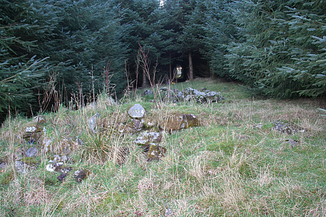
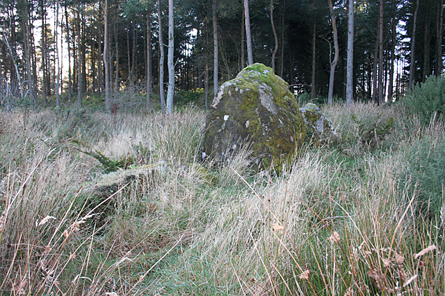
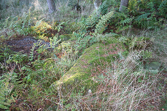
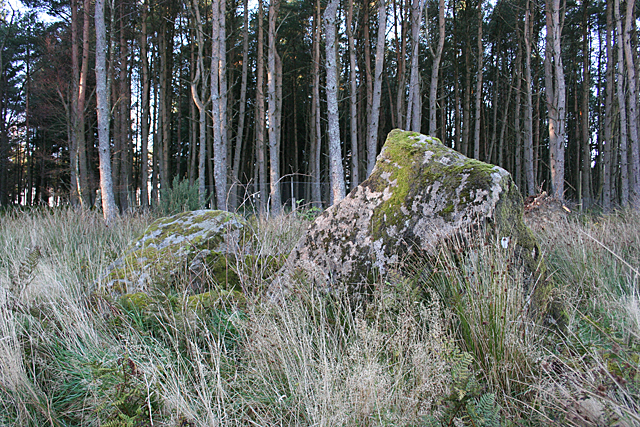
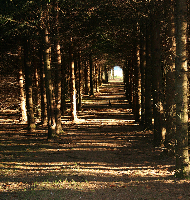
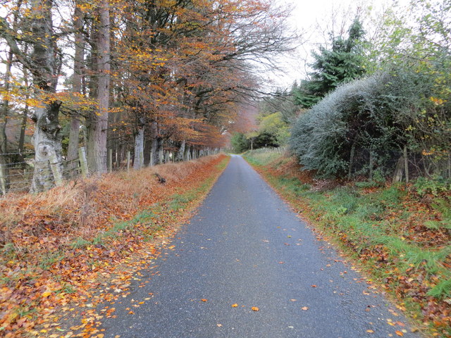
The woodland itself is a captivating sight, featuring a diverse array of tree species. Towering Scots pines dominate the landscape, interspersed with elegant silver birches and stately oak trees. This diverse mix of trees creates a thriving ecosystem, attracting a wide variety of birds and wildlife.
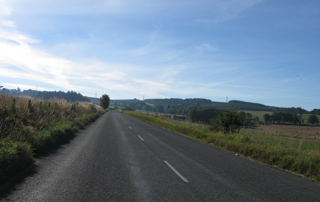
Nature lovers and outdoor enthusiasts flock to Hawk Hill Plantation to enjoy its numerous walking trails. These well-maintained paths wind through the woods, offering visitors a chance to immerse themselves in the serenity and beauty of the surroundings. Along the way, hikers encounter babbling brooks, peaceful ponds, and breathtaking viewpoints, providing ample opportunities for photography and contemplation.
Additionally, the plantation offers educational programs and guided tours for those interested in learning more about the local flora and fauna. The knowledgeable staff provides insightful information about the different tree species and their ecological significance, making the experience both educational and enjoyable.
Hawk Hill Plantation is not just a testament to Aberdeenshire's natural beauty, but also a haven for nature enthusiasts seeking solace and tranquility in the heart of Scotland.
If you have any feedback on the listing, please let us know in the comments section below.
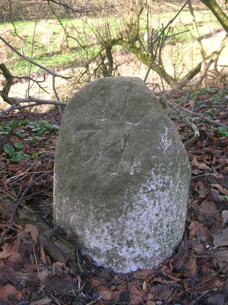
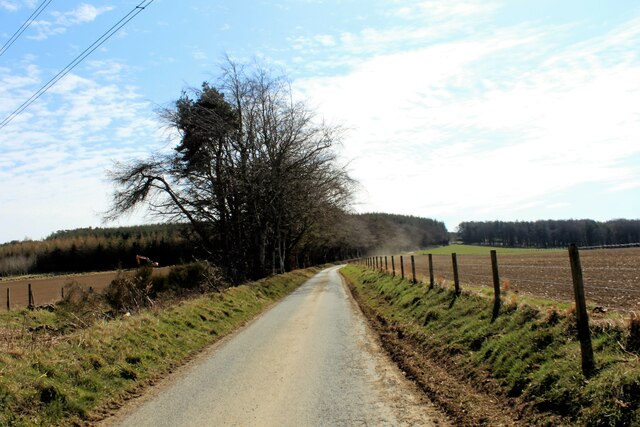
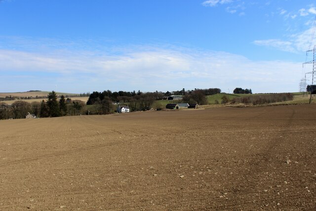
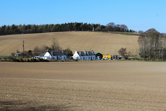
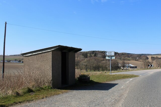
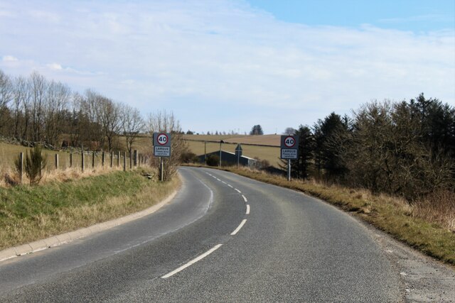
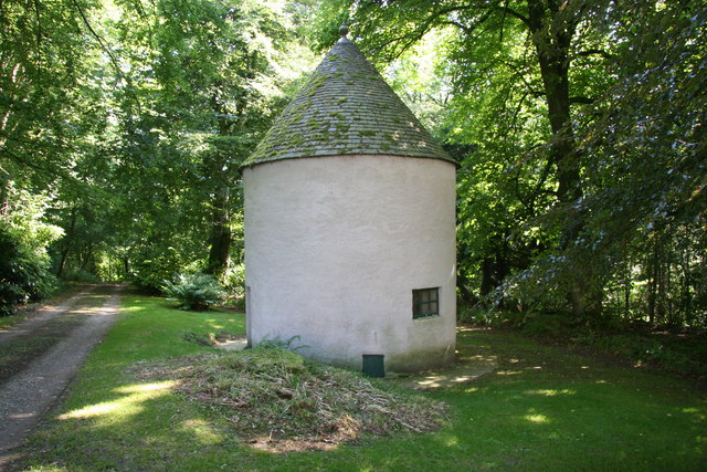
Hawk Hill Plantation Images
Images are sourced within 2km of 57.464117/-2.6231625 or Grid Reference NJ6241. Thanks to Geograph Open Source API. All images are credited.


Hawk Hill Plantation is located at Grid Ref: NJ6241 (Lat: 57.464117, Lng: -2.6231625)
Unitary Authority: Aberdeenshire
Police Authority: North East
What 3 Words
///vanilla.february.acrobatic. Near Huntly, Aberdeenshire
Nearby Locations
Related Wikis

Frendraught Castle
Frendraught Castle or House is a 17th-century house, about 6 miles (9.7 km) east of Huntly, Aberdeenshire, Scotland, and 1 mile (1.6 km) west of Largue...
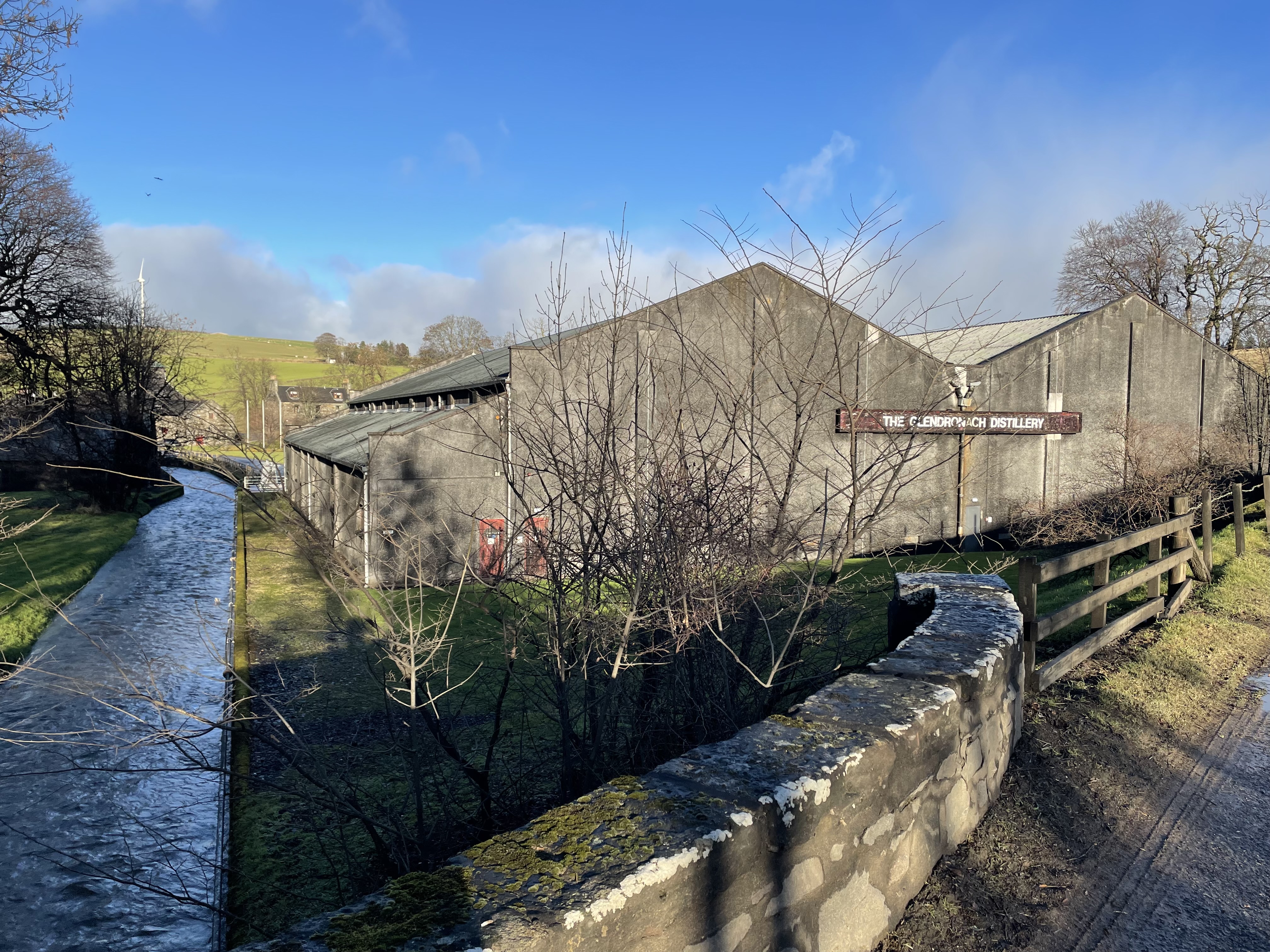
Glendronach distillery
Glendronach distillery is a Scottish whisky distillery located near Forgue, by Huntly, Aberdeenshire, in the Highland whisky district. It was owned by...
Forgue
Forgue is a hamlet in Aberdeenshire. It lies 35 miles (56 km) northwest of Aberdeen and 8 miles (13 km) northeast of Huntly. The Glendronach distillery...

Ythanwells
Ythanwells () is a village in the Marr area of Aberdeenshire, Scotland, lying 10.6 kilometres (6.6 mi) east of Huntly. The village is sometimes known...

Drumblade
Drumblade is a hamlet in north-western Aberdeenshire, Scotland, which lies 4¾ miles east of the town of Huntly. == Schools == Drumblade Primary School...

Bogniebrae
Bogniebrae () is a small rural settlement in Aberdeenshire, Scotland. It is located at the junction of the A97 and B9001 roads, six miles (ten kilometres...

Ythan Wells
Ythan Wells, also known as Glenmailen, is the site of a Roman military camp, near the farm of Glenmellan, 2.1 kilometres (1.3 mi) east of the village of...

Bognie Castle
Bognie Castle (also called Conzie Castle) is a ruined castle near Huntly and Banff in the Aberdeenshire region of Scotland. It was built in the 17th century...
Nearby Amenities
Located within 500m of 57.464117,-2.6231625Have you been to Hawk Hill Plantation?
Leave your review of Hawk Hill Plantation below (or comments, questions and feedback).