Quarryhill Wood
Wood, Forest in Banffshire
Scotland
Quarryhill Wood
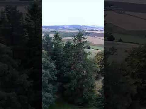
Quarryhill Wood, located in Banffshire, is a picturesque forest spanning over a vast area of land. The wood is known for its stunning natural beauty and is a popular destination for nature lovers and outdoor enthusiasts alike.
The wood is characterized by its dense foliage comprising a variety of trees, including oak, birch, and pine. The towering trees provide a lush canopy that filters the sunlight, creating a tranquil and serene atmosphere within the wood. Walking through Quarryhill Wood, visitors are greeted with a sense of tranquility and a feeling of being immersed in nature.
The forest floor is carpeted with a vibrant mix of ferns, moss, and wildflowers, adding to the enchanting ambiance. Numerous walking trails wind through the wood, allowing visitors to explore and discover its hidden treasures. These trails cater to all levels of fitness and offer breathtaking views of the surrounding landscape.
Wildlife is abundant within Quarryhill Wood, and lucky visitors may spot a variety of species, including deer, squirrels, and a multitude of bird species. The wood is home to a diverse range of flora and fauna, making it a haven for biodiversity.
Quarryhill Wood also offers recreational activities such as picnicking and birdwatching, allowing visitors to relax and enjoy the peaceful surroundings. The wood is well-maintained, with designated picnic areas and benches strategically placed for visitors to take in the beauty of their surroundings.
In conclusion, Quarryhill Wood in Banffshire is a captivating forest that offers a blend of natural beauty, tranquility, and recreational opportunities. It is a must-visit destination for those seeking to reconnect with nature and experience the wonders of the great outdoors.
If you have any feedback on the listing, please let us know in the comments section below.
Quarryhill Wood Images
Images are sourced within 2km of 57.551292/-2.6254362 or Grid Reference NJ6251. Thanks to Geograph Open Source API. All images are credited.
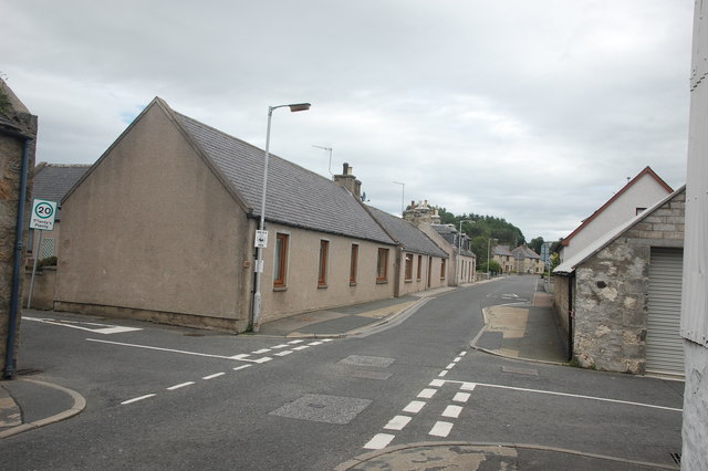
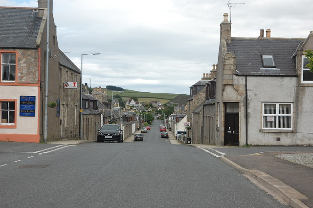

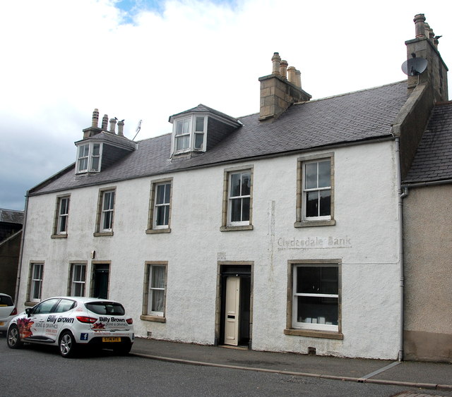
![Main Street, Aberchirder Aberchirder is the only significant settlement on the road (the A97) between Banff and Huntly. It is a fine example of an 18th Century Scottish planned (or improvement) village built on a rational grid pattern (compare Strichen and New Pitsligo). It was established by Alexander Gordon in 1764, to provide some stimulus to help the area recover from the economic devastation of the Forty-Five. The three main streets [North Street, Main Street (pictured) and South Street] run roughly east-west and are dead straight but certainly not level.](https://s3.geograph.org.uk/geophotos/05/45/15/5451595_894cd7d8.jpg)
Quarryhill Wood is located at Grid Ref: NJ6251 (Lat: 57.551292, Lng: -2.6254362)
Unitary Authority: Aberdeenshire
Police Authority: North East
What 3 Words
///mainly.replayed.cases. Near Aberchirder, Aberdeenshire
Nearby Locations
Related Wikis

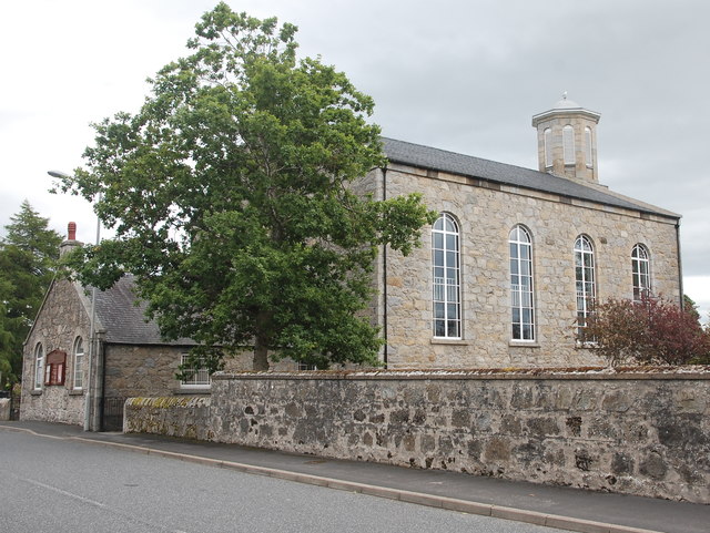
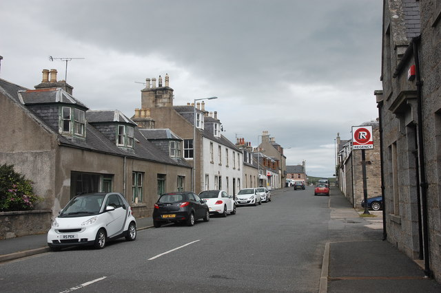
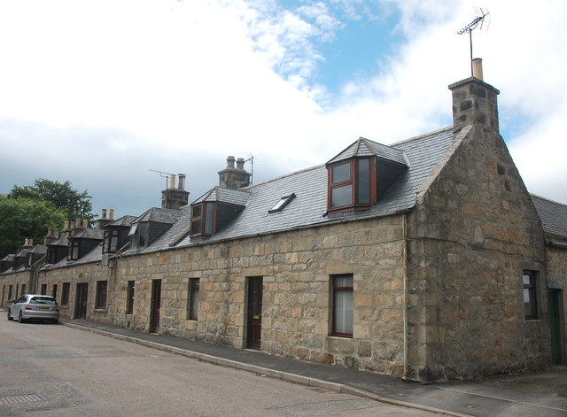
Aberchirder
Aberchirder (Scots: Fogieloan, Scottish Gaelic: Obar Chiardair) known locally as Foggieloan or Foggie, is a village in Aberdeenshire, Scotland, situated...

Inverkeithny
Inverkeithny is a village in the Formartine area of Aberdeenshire, Scotland. The village lies near where the Burn of Forgue flows into the River Deveron...

Bogton
Bogton is a rural area in Aberdeenshire, Scotland. To the south is Whitehill Wood and megalithic circle. == References ==

Whitehill Wood, Aberdeenshire
Whitehill Wood is a wood and megalithic stone circle in Aberdeenshire, Scotland, located off the B9025 road between Aberchirder and Turriff and between...
Related Videos
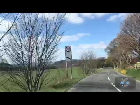
Aberchirder: 18th Century Planned Village
Short film of Aberchirder, also known as Foggieloan.
![Aberchirder [Aberdeenshire] | CINEMATIC 4K](https://i.ytimg.com/vi/9AZSWd2Vx6w/hqdefault.jpg)
Aberchirder [Aberdeenshire] | CINEMATIC 4K
Aberchirder, also known as Foggie or Foggieloan to locals, is an 18th century planned village. Shot on a Samsung s10 plus ...
Nearby Amenities
Located within 500m of 57.551292,-2.6254362Have you been to Quarryhill Wood?
Leave your review of Quarryhill Wood below (or comments, questions and feedback).